Map of Poole CDP, Nebraska
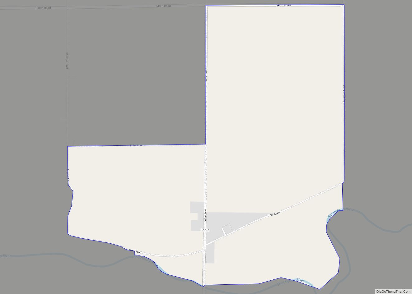
Poole is a census-designated place (CDP) in Buffalo County, Nebraska, United States. It is part of the Kearney, Nebraska Micropolitan Statistical Area. The population of the CDP was 19 at the 2010 census. Poole CDP overview: Name: Poole CDP LSAD Code: 57 LSAD Description: CDP (suffix) State: Nebraska County: Buffalo County Elevation: 2,040 ft (620 m) Total ... Read more
Map of Poole CDP, Nebraska
Map of Ponca city
Ponca is a city and county seat of Dixon County, Nebraska, United States. The population was 961 at the 2010 census. Ponca city overview: Name: Ponca city LSAD Code: 25 LSAD Description: city (suffix) State: Nebraska County: Dixon County Incorporated: 1871 Elevation: 1,148 ft (350 m) Total Area: 0.77 sq mi (2.00 km²) Land Area: 0.77 sq mi (2.00 km²) Water Area: 0.00 sq mi ... Read more
Map of Ponca city
Map of Polk village, Nebraska
Polk is a village in Polk County, Nebraska, United States. The population was 322 at the 2010 census. Polk village overview: Name: Polk village LSAD Code: 47 LSAD Description: village (suffix) State: Nebraska County: Polk County Elevation: 1,742 ft (531 m) Total Area: 0.49 sq mi (1.27 km²) Land Area: 0.49 sq mi (1.27 km²) Water Area: 0.00 sq mi (0.00 km²) Total Population: 346 Population ... Read more
Map of Polk village, Nebraska
Map of Plymouth village, Nebraska
Plymouth is a village in Jefferson County, Nebraska, United States. The population was 363 at the 2020 census. Plymouth village overview: Name: Plymouth village LSAD Code: 47 LSAD Description: village (suffix) State: Nebraska County: Jefferson County Elevation: 1,430 ft (436 m) Total Area: 0.32 sq mi (0.82 km²) Land Area: 0.32 sq mi (0.82 km²) Water Area: 0.00 sq mi (0.00 km²) Total Population: 363 Population ... Read more
Map of Plymouth village, Nebraska
Map of Pleasanton village, Nebraska
Pleasanton is a village in Buffalo County in the state of Nebraska in the Midwestern United States. At the 2010 census, its population was 341. Pleasanton was platted in 1890 when the Union Pacific railroad was extended to that point. It got its name from its location in the Pleasant Valley of the Loup River. ... Read more
Map of Pleasanton village, Nebraska
Map of Pleasant Dale village
Pleasant Dale is a village in Seward County, Nebraska, United States. It is part of the Lincoln, Nebraska Metropolitan Statistical Area. The population was 205 at the 2010 census. Pleasant Dale village overview: Name: Pleasant Dale village LSAD Code: 47 LSAD Description: village (suffix) State: Nebraska County: Seward County Elevation: 1,319 ft (402 m) Total Area: 0.11 sq mi ... Read more
Map of Pleasant Dale village
Map of Ragan village
Ragan is a village in Harlan County, Nebraska, United States. The population was 38 at the 2010 census. Ragan village overview: Name: Ragan village LSAD Code: 47 LSAD Description: village (suffix) State: Nebraska County: Harlan County Elevation: 2,329 ft (710 m) Total Area: 0.25 sq mi (0.66 km²) Land Area: 0.25 sq mi (0.66 km²) Water Area: 0.00 sq mi (0.00 km²) Total Population: 22 Population ... Read more
Map of Ragan village
Map of Raeville CDP
Raeville is an unincorporated village, and part of a namesake census-designated place, in Boone County, Nebraska, United States. As of the 2010 census, the community had a population of 22. Raeville is the location of the still-active St. Bonaventure Church Complex, which is on the National Register of Historic Places. The community consists of that ... Read more
Map of Raeville CDP
Map of Prosser village, Nebraska
Prosser is a village in Adams County, Nebraska, United States. The population was 73 at the 2020 census. It is part of the Hastings, Nebraska, Micropolitan Statistical Area. Prosser village overview: Name: Prosser village LSAD Code: 47 LSAD Description: village (suffix) State: Nebraska County: Adams County Elevation: 2,051 ft (625 m) Total Area: 0.24 sq mi (0.63 km²) Land Area: ... Read more
Map of Prosser village, Nebraska
Map of Reynolds village, Nebraska
Reynolds is a village in Jefferson County, Nebraska, United States. The population was 59 at the 2020 census. Reynolds village overview: Name: Reynolds village LSAD Code: 47 LSAD Description: village (suffix) State: Nebraska County: Jefferson County Elevation: 1,391 ft (424 m) Total Area: 0.25 sq mi (0.65 km²) Land Area: 0.25 sq mi (0.65 km²) Water Area: 0.00 sq mi (0.00 km²) Total Population: 59 Population ... Read more
Map of Reynolds village, Nebraska
Map of Republican City village
Republican City is a village, despite its name, in Harlan County, Nebraska, United States. The population was 150 at the 2010 census. The town is near the Harlan County Reservoir. At its peak in the 1950s the population was about 4 times larger than it is today. Republican City village overview: Name: Republican City village ... Read more
Map of Republican City village
Map of Red Cloud city
Red Cloud is a city in and the county seat of Webster County, Nebraska, United States. The population was 962 at the 2020 census. Red Cloud city overview: Name: Red Cloud city LSAD Code: 25 LSAD Description: city (suffix) State: Nebraska County: Webster County Elevation: 1,719 ft (524 m) Total Area: 1.03 sq mi (2.66 km²) Land Area: 1.03 sq mi (2.66 km²) ... Read more
Map of Red Cloud city