Ponca is a city and county seat of Dixon County, Nebraska, United States. The population was 961 at the 2010 census.
| Name: | Ponca city |
|---|---|
| LSAD Code: | 25 |
| LSAD Description: | city (suffix) |
| State: | Nebraska |
| County: | Dixon County |
| Incorporated: | 1871 |
| Elevation: | 1,148 ft (350 m) |
| Total Area: | 0.77 sq mi (2.00 km²) |
| Land Area: | 0.77 sq mi (2.00 km²) |
| Water Area: | 0.00 sq mi (0.00 km²) |
| Total Population: | 907 |
| Population Density: | 1,173.35/sq mi (453.02/km²) |
| ZIP code: | 68770 |
| Area code: | 402 |
| FIPS code: | 3139695 |
| GNISfeature ID: | 0832300 |
| Website: | www.ci.ponca.ne.us |
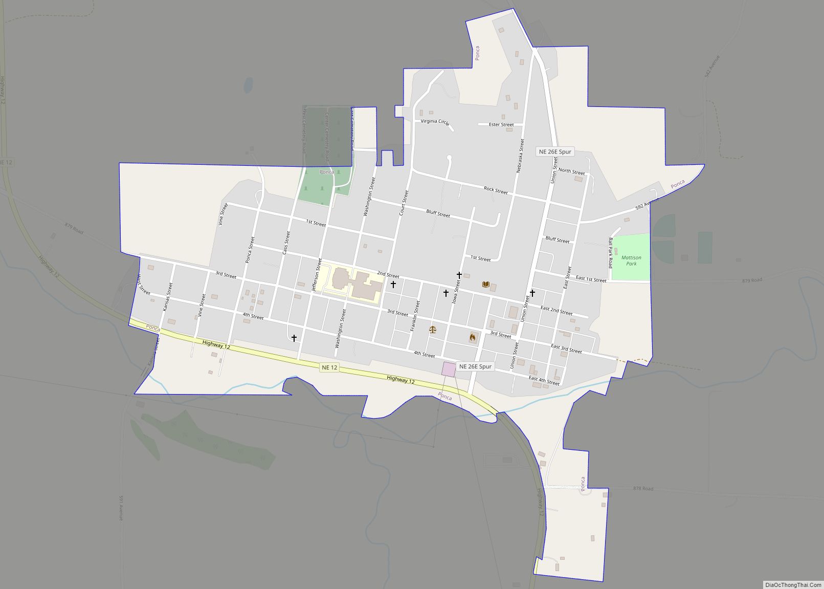
Online Interactive Map
Click on ![]() to view map in "full screen" mode.
to view map in "full screen" mode.
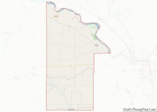
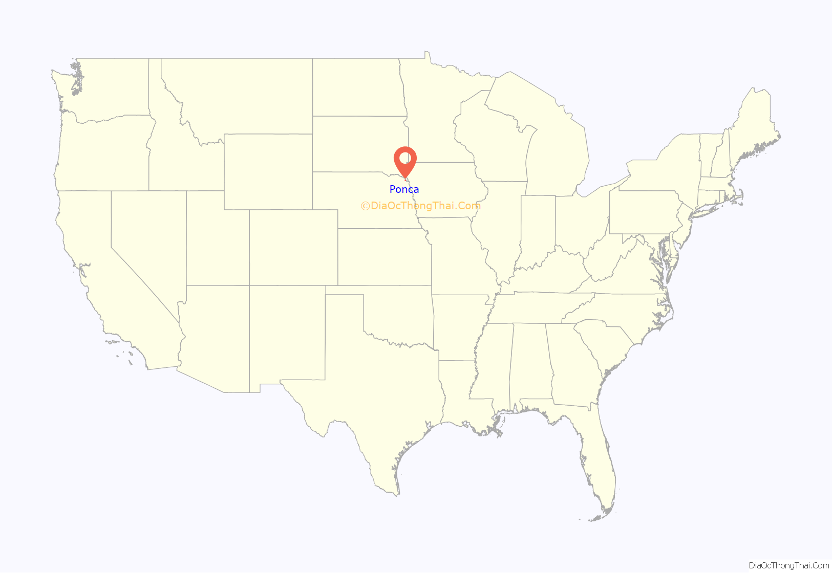
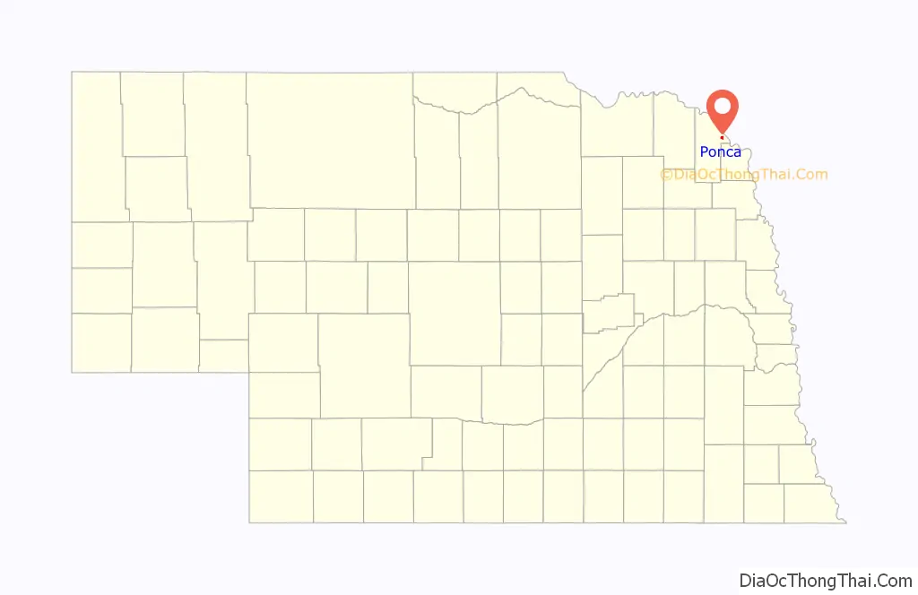
Ponca location map. Where is Ponca city?
History
Ponca was established in 1856 and is Nebraska’s fourth oldest town. It was named for the Ponca Indian tribe native to the region. Ponca was incorporated as a village in 1871.
Ponca experienced growth when the Covington, Columbus and Black Hills Railroad was extended to it in 1876.
Ponca also hosts one of the oldest rodeos in Nebraska, called the “Days of ‘56” to honor the founding members of the community. The rodeo is held at the town’s rodeo grounds during the last full weekend in June. The 2018 rodeo marked the 50th anniversary of the event.
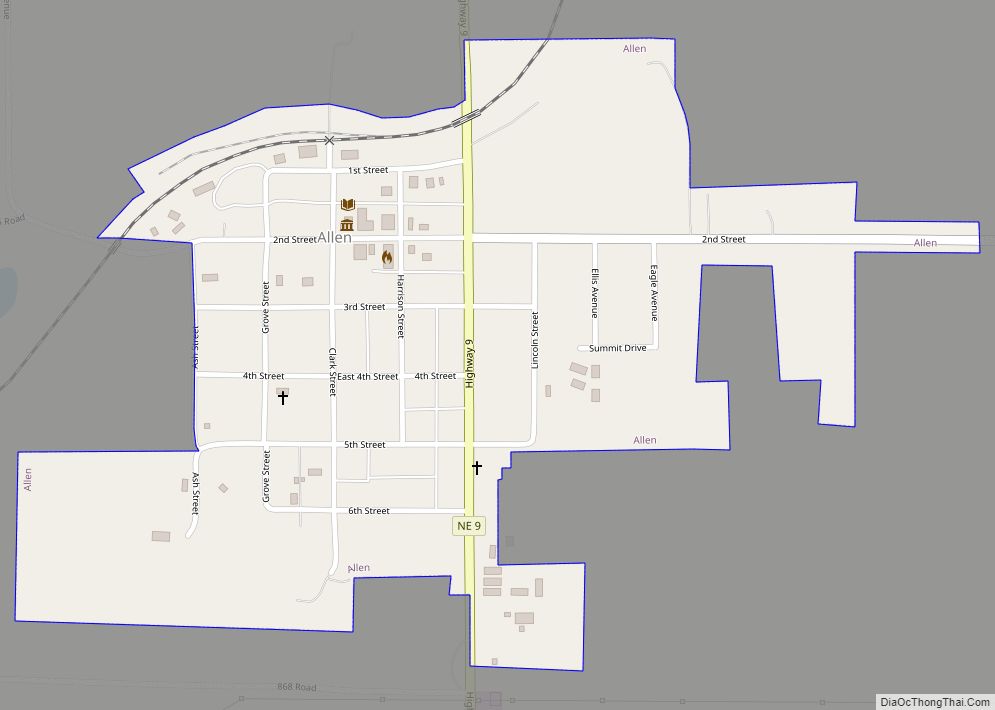
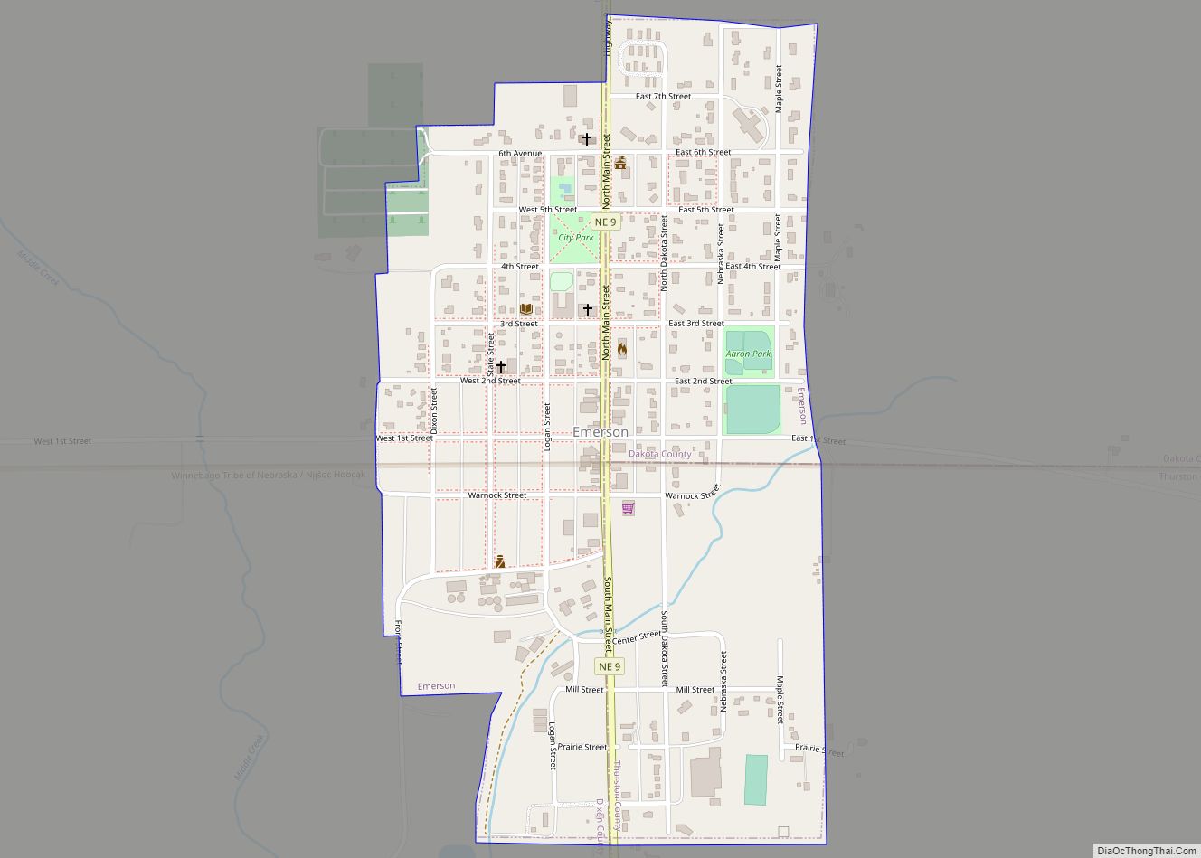
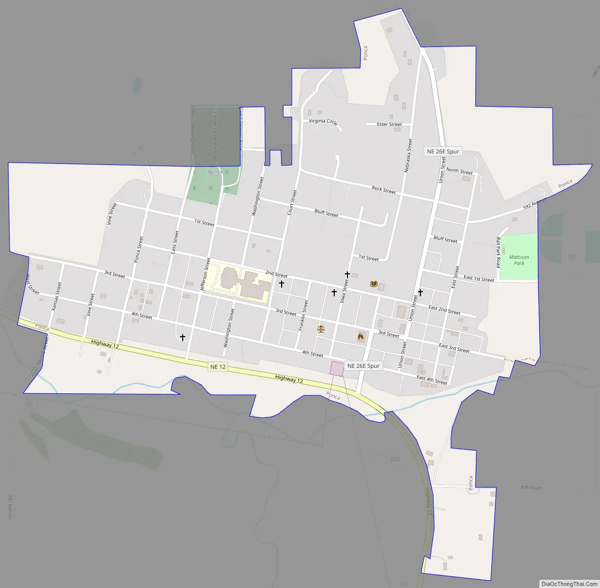
Ponca Road Map
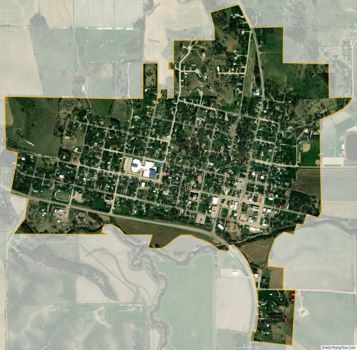
Ponca city Satellite Map
Geography
Ponca is located at 42°33′50″N 96°42′38″W / 42.56389°N 96.71056°W / 42.56389; -96.71056 (42.563964, -96.710563).
According to the United States Census Bureau, the city has a total area of 0.73 square miles (1.89 km), all land.
See also
Map of Nebraska State and its subdivision:- Adams
- Antelope
- Arthur
- Banner
- Blaine
- Boone
- Box Butte
- Boyd
- Brown
- Buffalo
- Burt
- Butler
- Cass
- Cedar
- Chase
- Cherry
- Cheyenne
- Clay
- Colfax
- Cuming
- Custer
- Dakota
- Dawes
- Dawson
- Deuel
- Dixon
- Dodge
- Douglas
- Dundy
- Fillmore
- Franklin
- Frontier
- Furnas
- Gage
- Garden
- Garfield
- Gosper
- Grant
- Greeley
- Hall
- Hamilton
- Harlan
- Hayes
- Hitchcock
- Holt
- Hooker
- Howard
- Jefferson
- Johnson
- Kearney
- Keith
- Keya Paha
- Kimball
- Knox
- Lancaster
- Lincoln
- Logan
- Loup
- Madison
- McPherson
- Merrick
- Morrill
- Nance
- Nemaha
- Nuckolls
- Otoe
- Pawnee
- Perkins
- Phelps
- Pierce
- Platte
- Polk
- Red Willow
- Richardson
- Rock
- Saline
- Sarpy
- Saunders
- Scotts Bluff
- Seward
- Sheridan
- Sherman
- Sioux
- Stanton
- Thayer
- Thomas
- Thurston
- Valley
- Washington
- Wayne
- Webster
- Wheeler
- York
- Alabama
- Alaska
- Arizona
- Arkansas
- California
- Colorado
- Connecticut
- Delaware
- District of Columbia
- Florida
- Georgia
- Hawaii
- Idaho
- Illinois
- Indiana
- Iowa
- Kansas
- Kentucky
- Louisiana
- Maine
- Maryland
- Massachusetts
- Michigan
- Minnesota
- Mississippi
- Missouri
- Montana
- Nebraska
- Nevada
- New Hampshire
- New Jersey
- New Mexico
- New York
- North Carolina
- North Dakota
- Ohio
- Oklahoma
- Oregon
- Pennsylvania
- Rhode Island
- South Carolina
- South Dakota
- Tennessee
- Texas
- Utah
- Vermont
- Virginia
- Washington
- West Virginia
- Wisconsin
- Wyoming