Map of Linn CDP, Texas
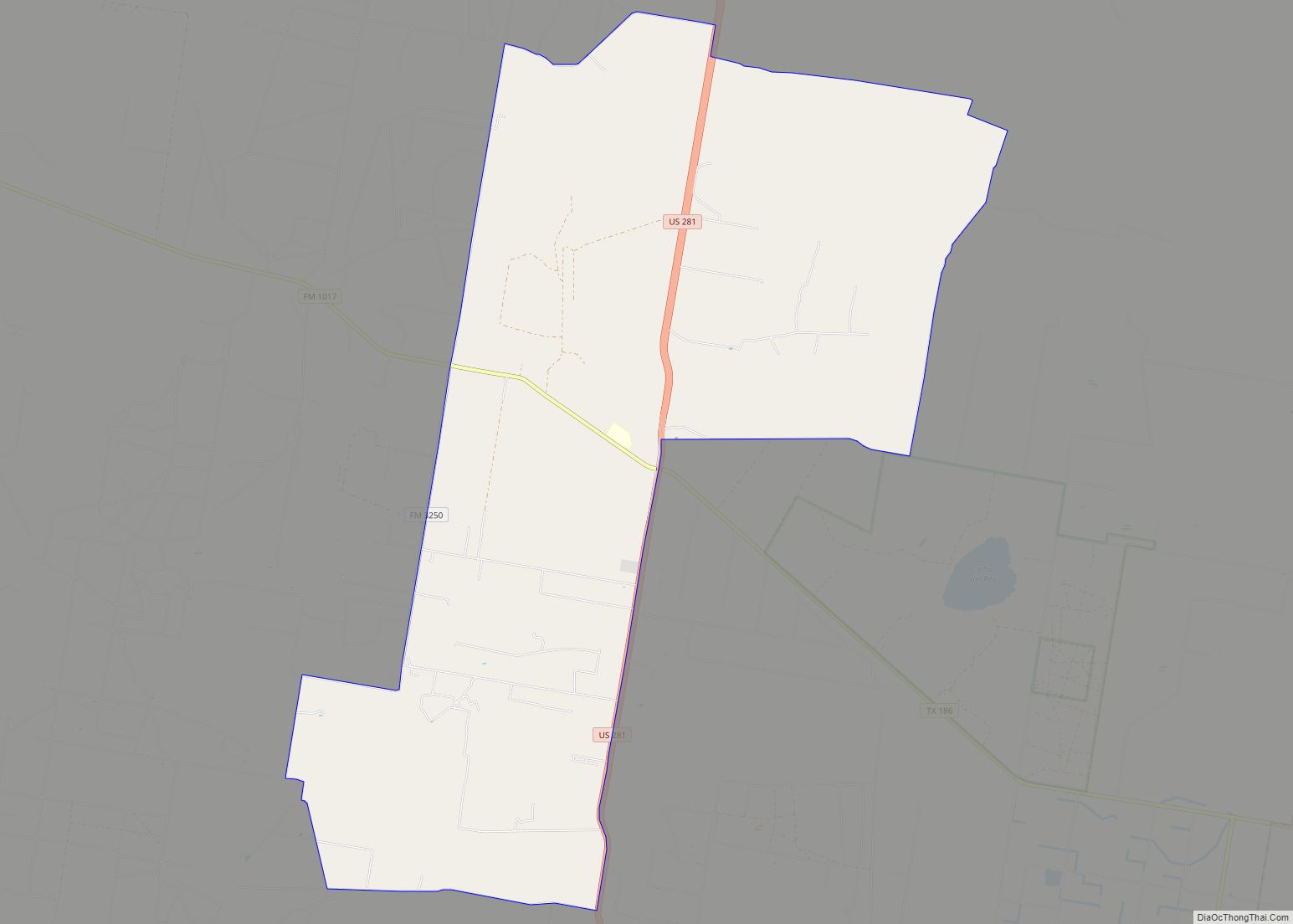
Linn, formerly San Manuel-Linn, is an unincorporated area and census-designated place (CDP) in Hidalgo County, Texas, United States. The population was 801 at the 2010 census, down from 958 at the 2000 census. It is part of the McAllen–Edinburg–Mission Metropolitan Statistical Area. Linn CDP overview: Name: Linn CDP LSAD Code: 57 LSAD Description: CDP (suffix) ... Read more
Map of Linn CDP, Texas
Map of Lindsay CDP, Texas
Lindsay is a census-designated place (CDP) in Reeves County, Texas, United States. The population was 271 at the 2010 census. Lindsay CDP overview: Name: Lindsay CDP LSAD Code: 57 LSAD Description: CDP (suffix) State: Texas County: Reeves County Total Area: 1.0 sq mi (3 km²) Land Area: 1.0 sq mi (3 km²) Water Area: 0.0 sq mi (0 km²) Total Population: 271 Population Density: ... Read more
Map of Lindsay CDP, Texas
Map of Linden city, Texas
Linden is a city in and the county seat of Cass County, Texas, United States. At the 2020 United States census, its population was 1,825. Linden city overview: Name: Linden city LSAD Code: 25 LSAD Description: city (suffix) State: Texas County: Cass County Elevation: 381 ft (116 m) Total Area: 3.53 sq mi (9.14 km²) Land Area: 3.53 sq mi (9.14 km²) Water ... Read more
Map of Linden city, Texas
Map of Lindale city, Texas
Lindale (/ˈlɪndeɪl/) is a city in Smith County, Texas, United States. Located in East Texas, the population was 6,059 in the 2020 census. It is part of the Tyler, Texas, metropolitan statistical area. Lindale city overview: Name: Lindale city LSAD Code: 25 LSAD Description: city (suffix) State: Texas County: Smith County Founded: 1871 Incorporated: 1905 ... Read more
Map of Lindale city, Texas
Map of Lincoln Park town, Texas
Lincoln Park town overview: Name: Lincoln Park town LSAD Code: 43 LSAD Description: town (suffix) State: Texas County: Denton County FIPS code: 4842808 Online Interactive Map Lincoln Park online map. Source: Basemap layers from Google Map, Open Street Map (OSM), Arcgisonline, Wmflabs. Boundary Data from Database of Global Administrative Areas. Lincoln Park location map. Where ... Read more
Map of Lincoln Park town, Texas
Map of Liberty city, Texas
Liberty is a city in the U.S. state of Texas, within Liberty County. The population was 8,279 at the 2020 census. It serves as the seat of Liberty County. Liberty is the third oldest city in the state—established in 1831 on the banks of the Trinity River. The city also has a twin of the Liberty ... Read more
Map of Liberty city, Texas
Map of Lolita CDP
Lolita is a census-designated place (CDP) in Jackson County, Texas, United States. The population was 555 at the 2010 census. Lolita CDP overview: Name: Lolita CDP LSAD Code: 57 LSAD Description: CDP (suffix) State: Texas County: Jackson County Elevation: 39 ft (12 m) Total Area: 2.6 sq mi (6.7 km²) Land Area: 2.6 sq mi (6.7 km²) Water Area: 0.0 sq mi (0.0 km²) Total Population: ... Read more
Map of Lolita CDP
Map of Log Cabin city
Log Cabin is a city in Henderson County, Texas, United States. The population was 714 at the 2010 census. Log Cabin city overview: Name: Log Cabin city LSAD Code: 25 LSAD Description: city (suffix) State: Texas County: Henderson County Elevation: 371 ft (113 m) Total Area: 1.06 sq mi (2.73 km²) Land Area: 1.05 sq mi (2.71 km²) Water Area: 0.01 sq mi (0.02 km²) Total ... Read more
Map of Log Cabin city
Map of Lockney town
Lockney is a town in Floyd County, Texas, United States. The population was 1,842 at the 2010 census, down from 2,056 at the 2000 census. Lockney town overview: Name: Lockney town LSAD Code: 43 LSAD Description: town (suffix) State: Texas County: Floyd County Elevation: 3,278 ft (999 m) Total Area: 1.54 sq mi (4.00 km²) Land Area: 1.54 sq mi (4.00 km²) Water ... Read more
Map of Lockney town
Map of Lockhart city, Texas
Lockhart is a city and the county seat of Caldwell County, Texas, United States. According to the 2020 census, its population was 14,379. Lockhart city overview: Name: Lockhart city LSAD Code: 25 LSAD Description: city (suffix) State: Texas County: Caldwell County Elevation: 515 ft (157 m) Total Area: 15.64 sq mi (40.50 km²) Land Area: 15.61 sq mi (40.44 km²) Water Area: 0.02 sq mi ... Read more
Map of Lockhart city, Texas
Map of Llano city
Llano (/ˈlænoʊ/ LAN-oh) is a city in Llano County, Texas, United States. As of 2010, the city population was 3,232. It is the county seat of Llano County. Llano has been described as the “deer capital of Texas”, with the single highest density of white-tailed deer in the United States. Llano city overview: Name: Llano ... Read more
Map of Llano city
Map of Llano Grande CDP
Llano Grande (Spanish “Great Plain”) is a census-designated place (CDP) in Hidalgo County, Texas. The population was 3,008 at the 2010 United States Census. It is part of the McAllen–Edinburg–Mission Metropolitan Statistical Area. Llano Grande means “Big Plain” in Spanish. Nearby Llano Grande State Park is popular with bird watchers and the supposed site of ... Read more
Map of Llano Grande CDP