Lockhart is a city and the county seat of Caldwell County, Texas, United States. According to the 2020 census, its population was 14,379.
| Name: | Lockhart city |
|---|---|
| LSAD Code: | 25 |
| LSAD Description: | city (suffix) |
| State: | Texas |
| County: | Caldwell County |
| Elevation: | 515 ft (157 m) |
| Total Area: | 15.64 sq mi (40.50 km²) |
| Land Area: | 15.61 sq mi (40.44 km²) |
| Water Area: | 0.02 sq mi (0.06 km²) |
| Total Population: | 14,379 |
| Population Density: | 905.15/sq mi (349.49/km²) |
| ZIP code: | 78644 |
| Area code: | 512 & 737 |
| FIPS code: | 4843240 |
| GNISfeature ID: | 1374644 |
| Website: | lockhart-tx.org |
Online Interactive Map
Click on ![]() to view map in "full screen" mode.
to view map in "full screen" mode.
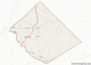
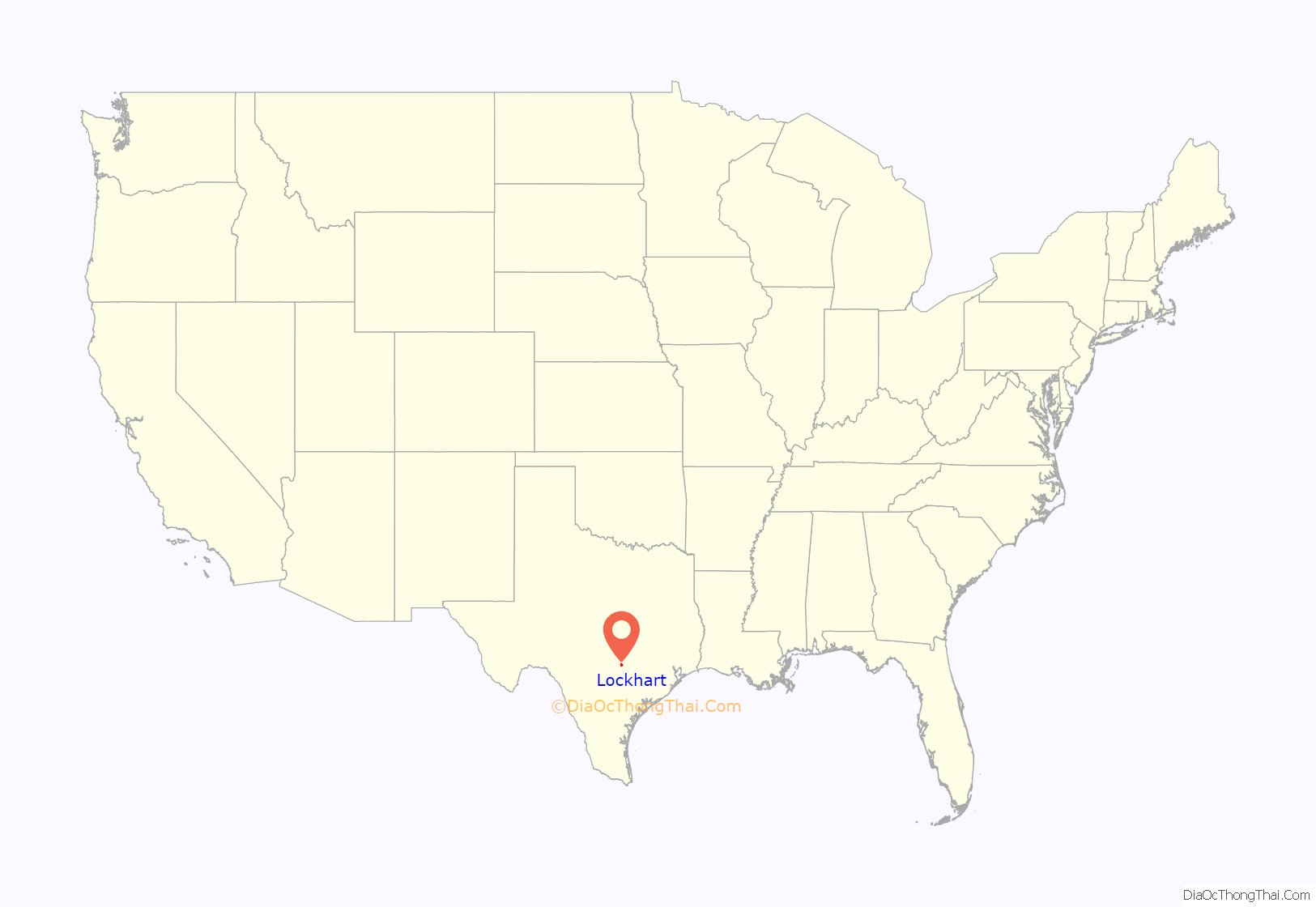
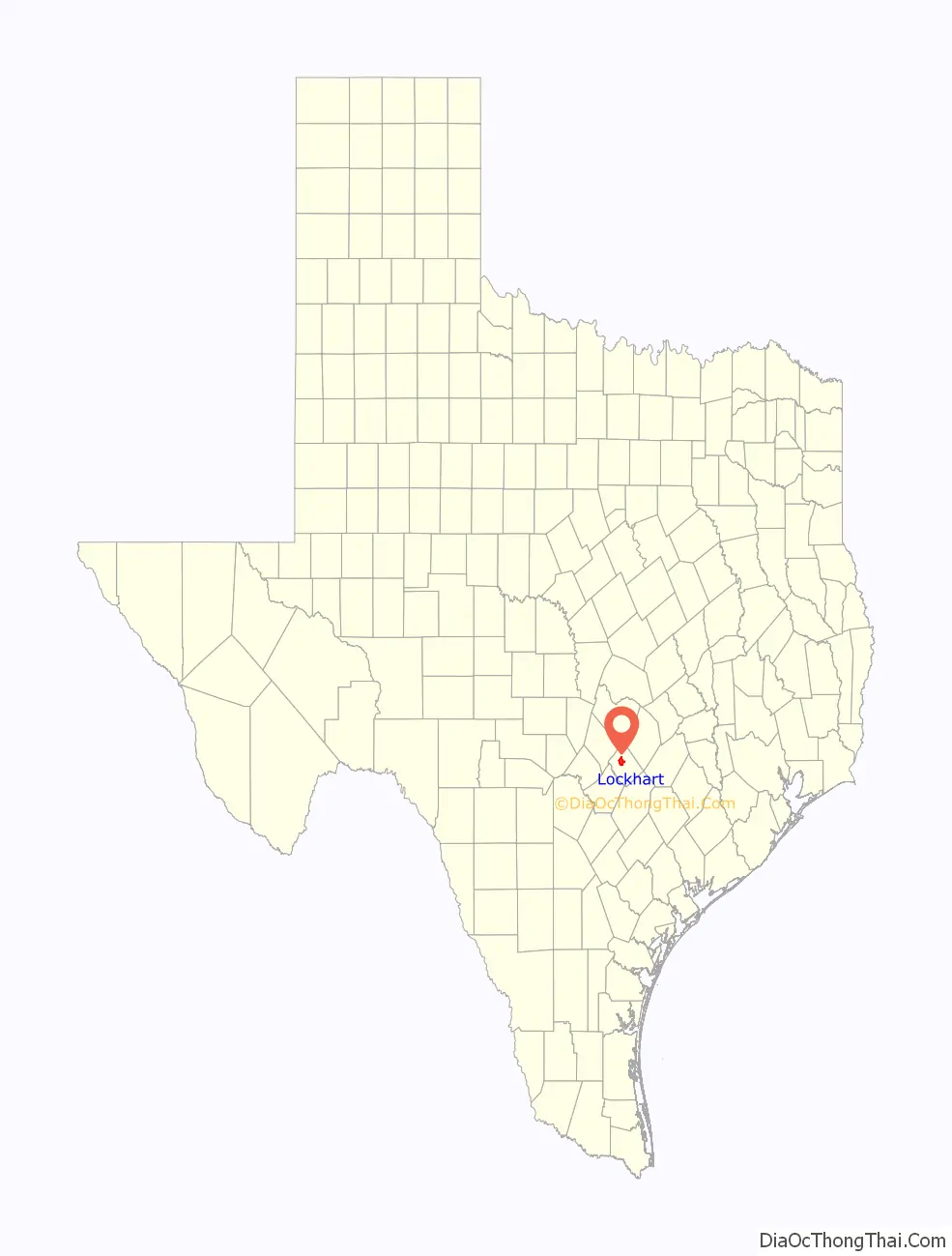
Lockhart location map. Where is Lockhart city?
History
The city of Lockhart is named after Byrd Lockhart, an assistant surveyor of Green DeWitt and reportedly the first Anglo to set foot in Caldwell County. Lockhart was the site of a victory of the Texans over the Comanche, at the Battle of Plum Creek in 1840. Lockhart was originally called “Plum Creek”, but the name was later changed to Lockhart.
The town’s economic growth began with the arrival of the railroad in the late 19th century, when the town became a regional shipping center for local cotton. Following the arrival of the railroad, immigrants arrived in Lockhart and opened various businesses.
Lockhart has several claims to fame. In 1999, the Texas Legislature proclaimed Lockhart the “Barbecue Capital of Texas”; Lockhart has four major barbecue restaurants. The Dr. Eugene Clark Library is the oldest operating public library in Texas. Lockhart was also the subject of an article by the architectural historian and critic Colin Rowe and architect John Hejduk, first published in Architectural Record in 1957 and republished in the collection of his writings As I Was Saying (1996). Rowe and Hejduk see Lockhart as a “curiously eloquent” example of a Victorian post-frontier American town.
Lockhart has played host to many film sets, as this quaint, small town is located just 30 miles (48 km) south of Austin. The 1996 Christopher Guest comedy film Waiting for Guffman and the 1993 drama What’s Eating Gilbert Grape were filmed partly in Lockhart, including the historic courthouse and the town square. The city’s Walmart store was featured in the 2000 film Where the Heart Is.
On July 30, 2016, a hot air balloon struck a power line and caught on fire, killing all 16 people on board when it crashed near the unincorporated community of Maxwell.
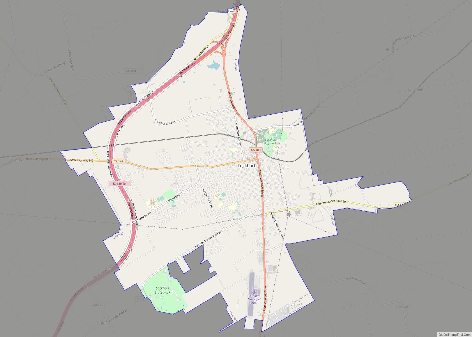
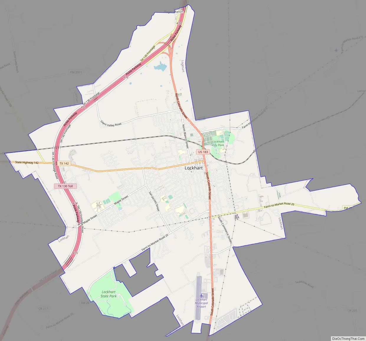
Lockhart Road Map
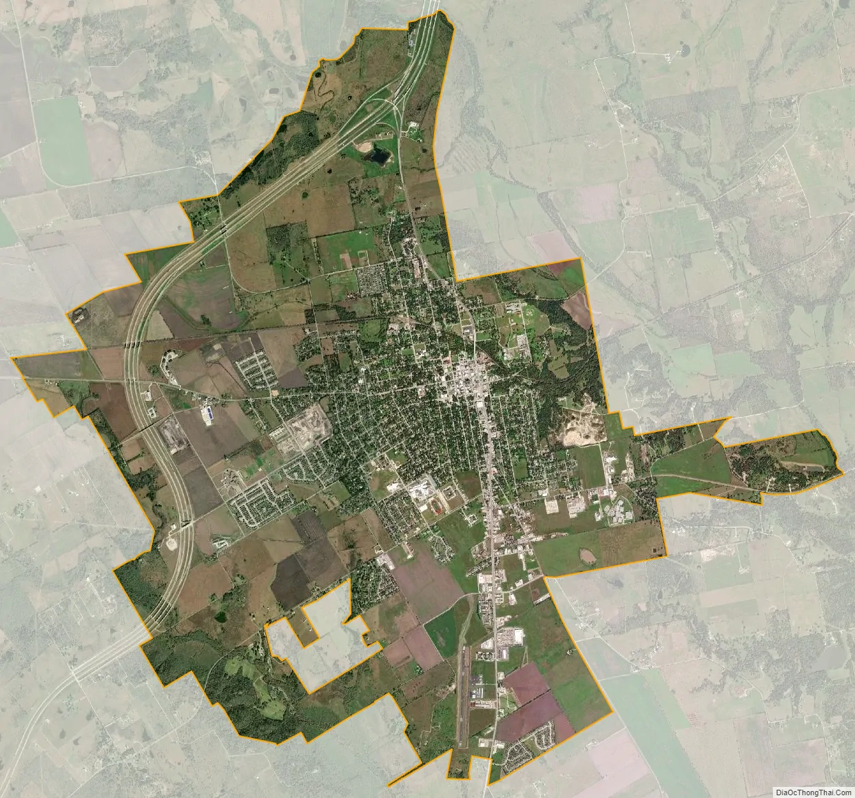
Lockhart city Satellite Map
Geography
Lockhart is located at 29°52′55″N 97°40′34″W / 29.88194°N 97.67611°W / 29.88194; -97.67611 (29.881870, –97.676040). Located near central Texas, Lockhart is 30 miles (48 km) south of downtown Austin on U.S. Highway 183. It is 70 miles (110 km) northeast of San Antonio and 156 miles (251 km) west of Houston.
According to the United States Census Bureau, the city has a total area of 15.6 square miles (40.4 km), of which 0.04 sq mi (0.1 km), or 0.14%, is covered by water.
Climate
Climate is characterized by relatively high temperatures and evenly distributed precipitation throughout the year. The Köppen climate classification subtype for this climate is humid subtropical climate, Cfa.
See also
Map of Texas State and its subdivision:- Anderson
- Andrews
- Angelina
- Aransas
- Archer
- Armstrong
- Atascosa
- Austin
- Bailey
- Bandera
- Bastrop
- Baylor
- Bee
- Bell
- Bexar
- Blanco
- Borden
- Bosque
- Bowie
- Brazoria
- Brazos
- Brewster
- Briscoe
- Brooks
- Brown
- Burleson
- Burnet
- Caldwell
- Calhoun
- Callahan
- Cameron
- Camp
- Carson
- Cass
- Castro
- Chambers
- Cherokee
- Childress
- Clay
- Cochran
- Coke
- Coleman
- Collin
- Collingsworth
- Colorado
- Comal
- Comanche
- Concho
- Cooke
- Coryell
- Cottle
- Crane
- Crockett
- Crosby
- Culberson
- Dallam
- Dallas
- Dawson
- Deaf Smith
- Delta
- Denton
- Dewitt
- Dickens
- Dimmit
- Donley
- Duval
- Eastland
- Ector
- Edwards
- El Paso
- Ellis
- Erath
- Falls
- Fannin
- Fayette
- Fisher
- Floyd
- Foard
- Fort Bend
- Franklin
- Freestone
- Frio
- Gaines
- Galveston
- Garza
- Gillespie
- Glasscock
- Goliad
- Gonzales
- Gray
- Grayson
- Gregg
- Grimes
- Guadalupe
- Hale
- Hall
- Hamilton
- Hansford
- Hardeman
- Hardin
- Harris
- Harrison
- Hartley
- Haskell
- Hays
- Hemphill
- Henderson
- Hidalgo
- Hill
- Hockley
- Hood
- Hopkins
- Houston
- Howard
- Hudspeth
- Hunt
- Hutchinson
- Irion
- Jack
- Jackson
- Jasper
- Jeff Davis
- Jefferson
- Jim Hogg
- Jim Wells
- Johnson
- Jones
- Karnes
- Kaufman
- Kendall
- Kenedy
- Kent
- Kerr
- Kimble
- King
- Kinney
- Kleberg
- Knox
- La Salle
- Lamar
- Lamb
- Lampasas
- Lavaca
- Lee
- Leon
- Liberty
- Limestone
- Lipscomb
- Live Oak
- Llano
- Loving
- Lubbock
- Lynn
- Madison
- Marion
- Martin
- Mason
- Matagorda
- Maverick
- McCulloch
- McLennan
- McMullen
- Medina
- Menard
- Midland
- Milam
- Mills
- Mitchell
- Montague
- Montgomery
- Moore
- Morris
- Motley
- Nacogdoches
- Navarro
- Newton
- Nolan
- Nueces
- Ochiltree
- Oldham
- Orange
- Palo Pinto
- Panola
- Parker
- Parmer
- Pecos
- Polk
- Potter
- Presidio
- Rains
- Randall
- Reagan
- Real
- Red River
- Reeves
- Refugio
- Roberts
- Robertson
- Rockwall
- Runnels
- Rusk
- Sabine
- San Augustine
- San Jacinto
- San Patricio
- San Saba
- Schleicher
- Scurry
- Shackelford
- Shelby
- Sherman
- Smith
- Somervell
- Starr
- Stephens
- Sterling
- Stonewall
- Sutton
- Swisher
- Tarrant
- Taylor
- Terrell
- Terry
- Throckmorton
- Titus
- Tom Green
- Travis
- Trinity
- Tyler
- Upshur
- Upton
- Uvalde
- Val Verde
- Van Zandt
- Victoria
- Walker
- Waller
- Ward
- Washington
- Webb
- Wharton
- Wheeler
- Wichita
- Wilbarger
- Willacy
- Williamson
- Wilson
- Winkler
- Wise
- Wood
- Yoakum
- Young
- Zapata
- Zavala
- Alabama
- Alaska
- Arizona
- Arkansas
- California
- Colorado
- Connecticut
- Delaware
- District of Columbia
- Florida
- Georgia
- Hawaii
- Idaho
- Illinois
- Indiana
- Iowa
- Kansas
- Kentucky
- Louisiana
- Maine
- Maryland
- Massachusetts
- Michigan
- Minnesota
- Mississippi
- Missouri
- Montana
- Nebraska
- Nevada
- New Hampshire
- New Jersey
- New Mexico
- New York
- North Carolina
- North Dakota
- Ohio
- Oklahoma
- Oregon
- Pennsylvania
- Rhode Island
- South Carolina
- South Dakota
- Tennessee
- Texas
- Utah
- Vermont
- Virginia
- Washington
- West Virginia
- Wisconsin
- Wyoming