Lindale (/ˈlɪndeɪl/) is a city in Smith County, Texas, United States. Located in East Texas, the population was 6,059 in the 2020 census. It is part of the Tyler, Texas, metropolitan statistical area.
| Name: | Lindale city |
|---|---|
| LSAD Code: | 25 |
| LSAD Description: | city (suffix) |
| State: | Texas |
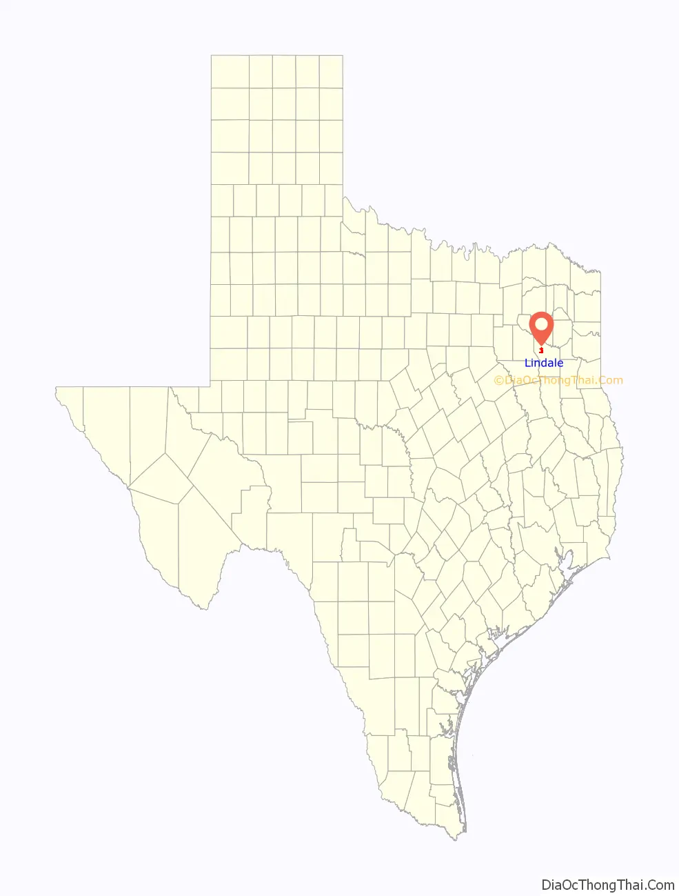
| County: | Smith County |
| Founded: | 1871 |
| Incorporated: | 1905 |
| Elevation: | 551 ft (168 m) |
| Total Area: | 6.22 sq mi (16.12 km²) |
| Land Area: | 6.18 sq mi (16.00 km²) |
| Water Area: | 0.05 sq mi (0.12 km²) |
| Total Population: | 6,059 |
| Population Density: | 1,046.46/sq mi (404.03/km²) |
| ZIP code: | 75771 |
| Area code: | 903, 430 (overlay) |
| FIPS code: | 4842820 |
| GNISfeature ID: | 1339958 |
| Website: | www.lindaletx.gov |
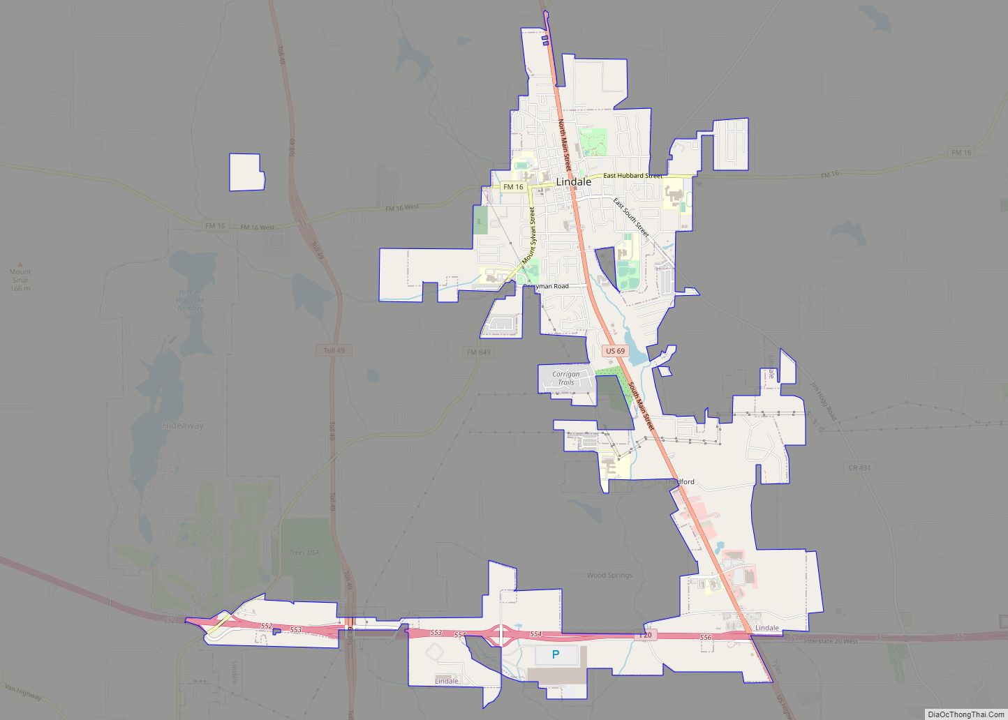
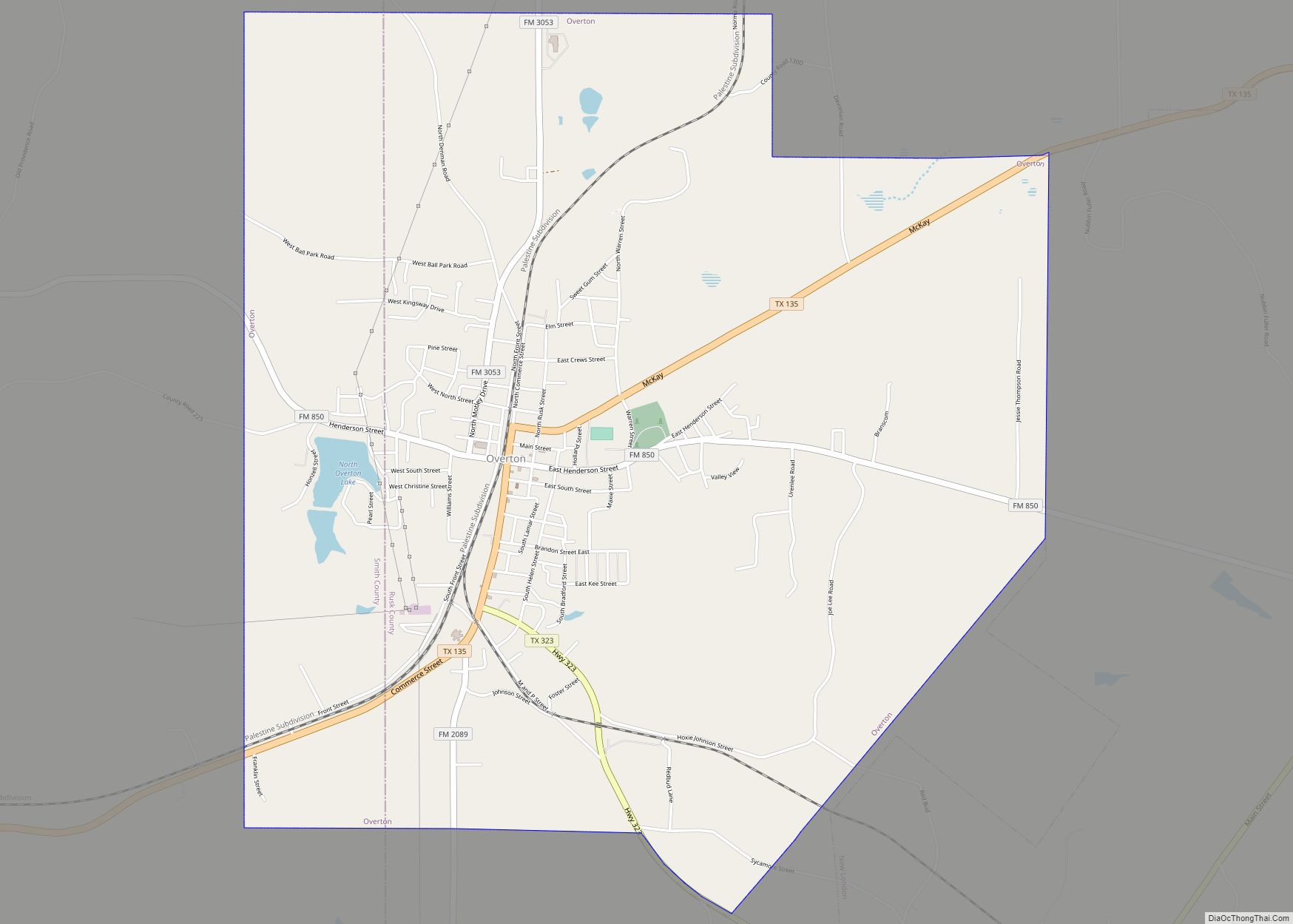
Online Interactive Map
Click on ![]() to view map in "full screen" mode.
to view map in "full screen" mode.
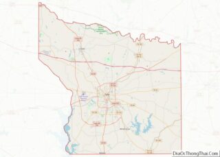
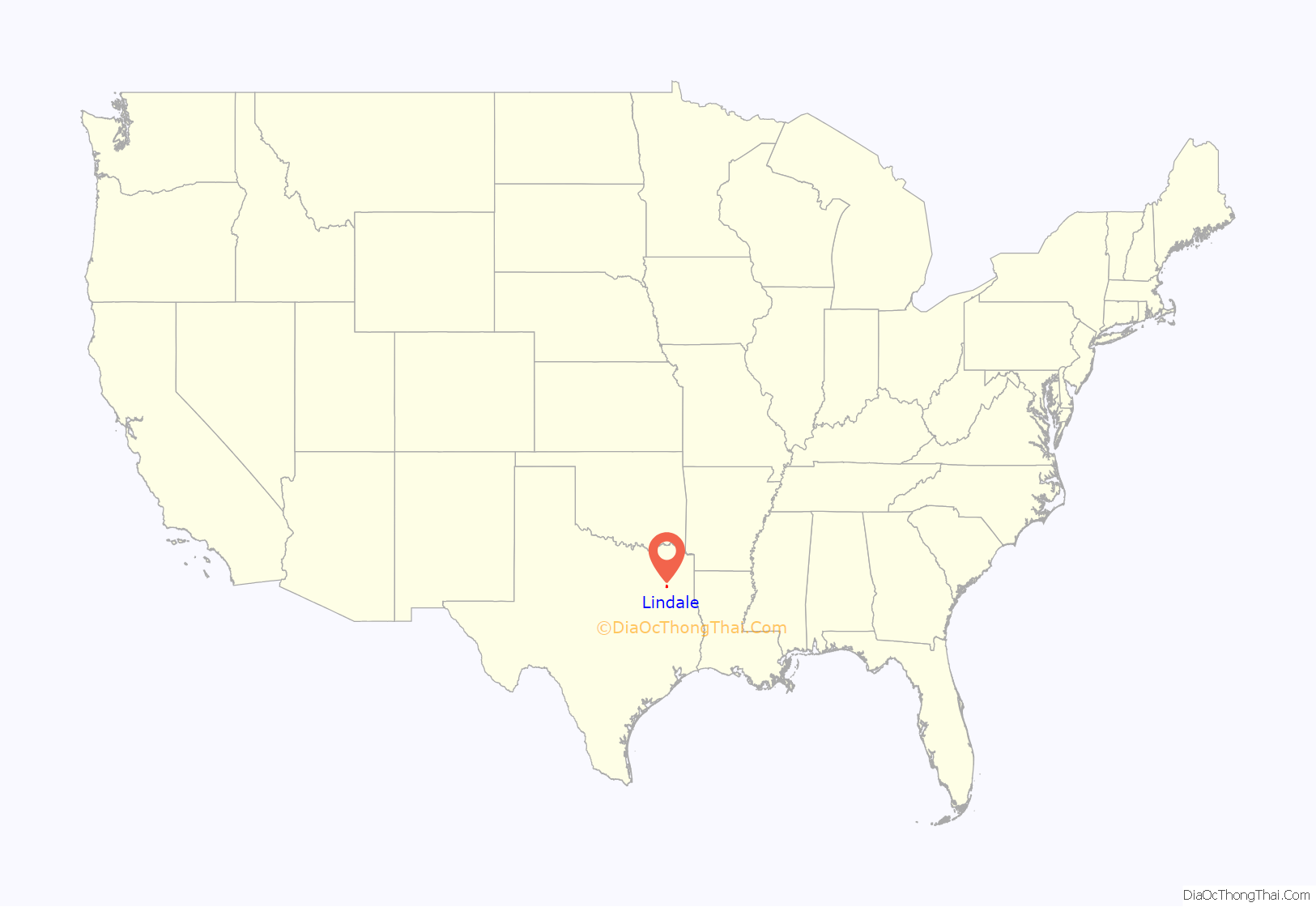
Lindale location map. Where is Lindale city?
History
The area of Smith County where Lindale sits was inhabited long before the town was founded in 1871. In the early 19th century, the Caddo Indians were the area’s primary inhabitants; their artifacts can still be found along streams in the area. The area also was home to Cherokee Indians, who were forced out when the Republic of Texas was founded in 1836.
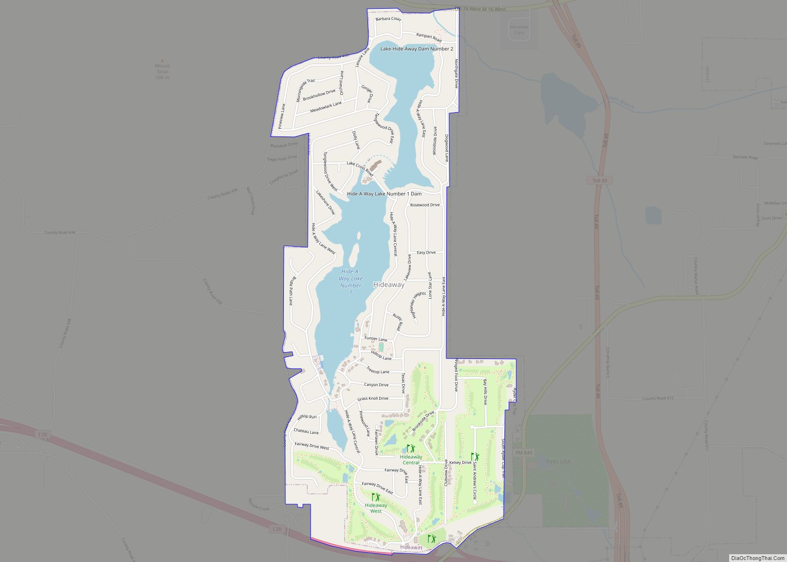
After the Civil War, Richard B. Hubbard, a former officer in the Confederate Army and owner of a large plantation on what is today a gated community called Hideaway Lake, began searching for a more convenient way to ship the produce grown on his land. Hubbard convinced railroad officials to lay track between nearby Tyler and Mineola. Hubbard’s brother-in-law, Elijah Lindsey, anticipating growth around the new railroad, opened the fledgling community’s first general store in 1871, and Lindale had its start; Lindsey was elected the town’s first mayor a year later.
In 1996, Lindale’s school board banned 32 books from its schools, including To Kill a Mockingbird, because they “conflicted with the values of the community.” According to school board president John Offutt, a Baptist minister, the board’s action was an attempt to make students adhere to Christian beliefs.
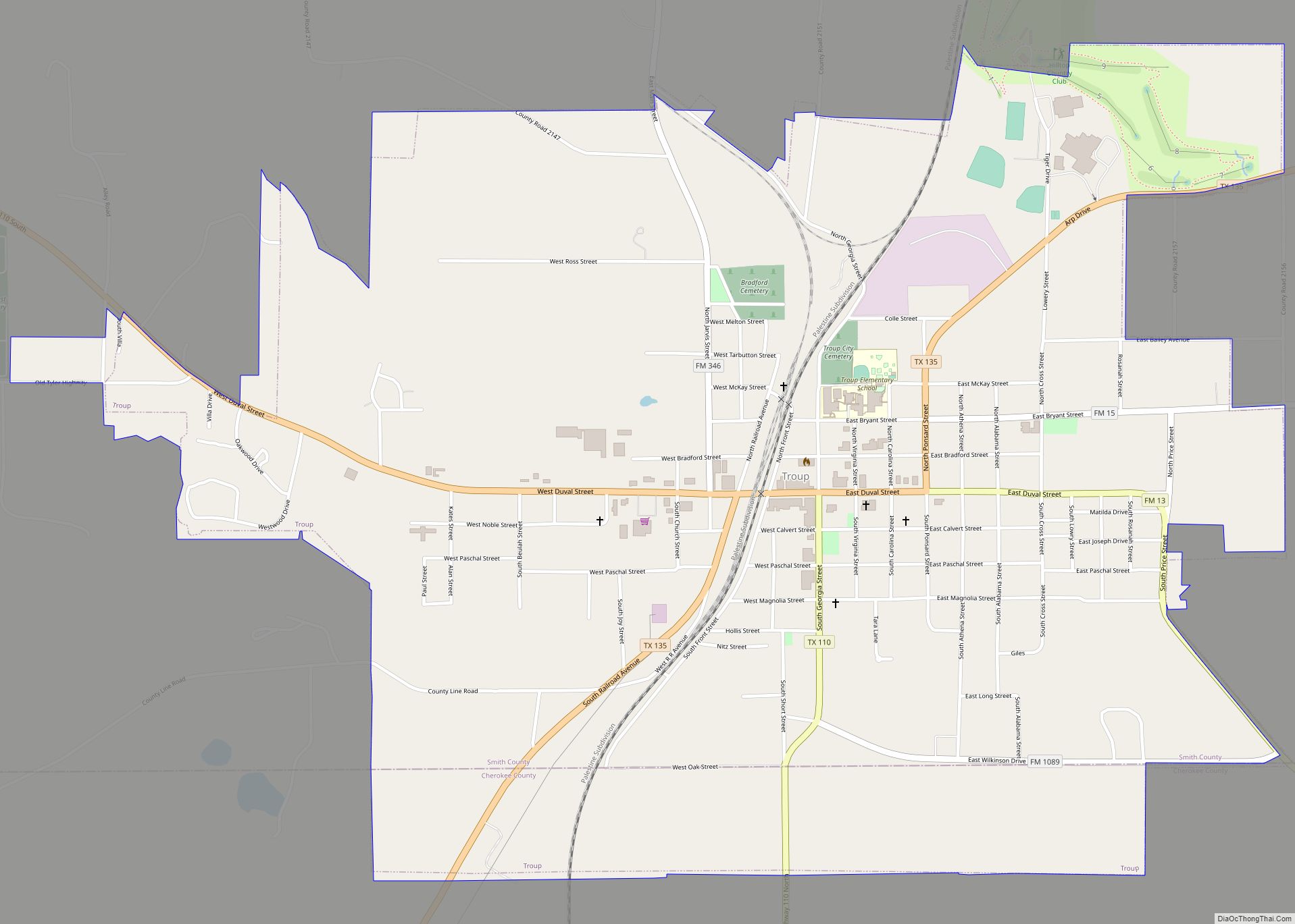
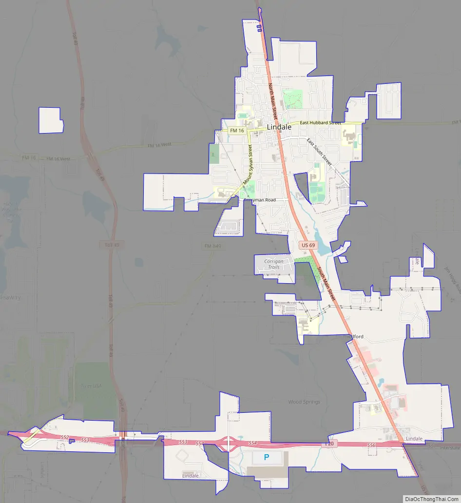
Lindale Road Map
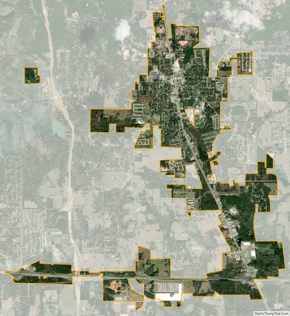
Lindale city Satellite Map
Geography
Lindale is located at 32°30′26″N 95°24′30″W / 32.50722°N 95.40833°W / 32.50722; -95.40833 (32.507145, −95.408293).
According to the United States Census Bureau, the town has a total area of 4.0 square miles (10.4 km), of which 4.0 square miles (10.4 km) is land and 0.04 square mile (0.1 km) (0.50%) is water.
See also
Map of Texas State and its subdivision:- Anderson
- Andrews
- Angelina
- Aransas
- Archer
- Armstrong
- Atascosa
- Austin
- Bailey
- Bandera
- Bastrop
- Baylor
- Bee
- Bell
- Bexar
- Blanco
- Borden
- Bosque
- Bowie
- Brazoria
- Brazos
- Brewster
- Briscoe
- Brooks
- Brown
- Burleson
- Burnet
- Caldwell
- Calhoun
- Callahan
- Cameron
- Camp
- Carson
- Cass
- Castro
- Chambers
- Cherokee
- Childress
- Clay
- Cochran
- Coke
- Coleman
- Collin
- Collingsworth
- Colorado
- Comal
- Comanche
- Concho
- Cooke
- Coryell
- Cottle
- Crane
- Crockett
- Crosby
- Culberson
- Dallam
- Dallas
- Dawson
- Deaf Smith
- Delta
- Denton
- Dewitt
- Dickens
- Dimmit
- Donley
- Duval
- Eastland
- Ector
- Edwards
- El Paso
- Ellis
- Erath
- Falls
- Fannin
- Fayette
- Fisher
- Floyd
- Foard
- Fort Bend
- Franklin
- Freestone
- Frio
- Gaines
- Galveston
- Garza
- Gillespie
- Glasscock
- Goliad
- Gonzales
- Gray
- Grayson
- Gregg
- Grimes
- Guadalupe
- Hale
- Hall
- Hamilton
- Hansford
- Hardeman
- Hardin
- Harris
- Harrison
- Hartley
- Haskell
- Hays
- Hemphill
- Henderson
- Hidalgo
- Hill
- Hockley
- Hood
- Hopkins
- Houston
- Howard
- Hudspeth
- Hunt
- Hutchinson
- Irion
- Jack
- Jackson
- Jasper
- Jeff Davis
- Jefferson
- Jim Hogg
- Jim Wells
- Johnson
- Jones
- Karnes
- Kaufman
- Kendall
- Kenedy
- Kent
- Kerr
- Kimble
- King
- Kinney
- Kleberg
- Knox
- La Salle
- Lamar
- Lamb
- Lampasas
- Lavaca
- Lee
- Leon
- Liberty
- Limestone
- Lipscomb
- Live Oak
- Llano
- Loving
- Lubbock
- Lynn
- Madison
- Marion
- Martin
- Mason
- Matagorda
- Maverick
- McCulloch
- McLennan
- McMullen
- Medina
- Menard
- Midland
- Milam
- Mills
- Mitchell
- Montague
- Montgomery
- Moore
- Morris
- Motley
- Nacogdoches
- Navarro
- Newton
- Nolan
- Nueces
- Ochiltree
- Oldham
- Orange
- Palo Pinto
- Panola
- Parker
- Parmer
- Pecos
- Polk
- Potter
- Presidio
- Rains
- Randall
- Reagan
- Real
- Red River
- Reeves
- Refugio
- Roberts
- Robertson
- Rockwall
- Runnels
- Rusk
- Sabine
- San Augustine
- San Jacinto
- San Patricio
- San Saba
- Schleicher
- Scurry
- Shackelford
- Shelby
- Sherman
- Smith
- Somervell
- Starr
- Stephens
- Sterling
- Stonewall
- Sutton
- Swisher
- Tarrant
- Taylor
- Terrell
- Terry
- Throckmorton
- Titus
- Tom Green
- Travis
- Trinity
- Tyler
- Upshur
- Upton
- Uvalde
- Val Verde
- Van Zandt
- Victoria
- Walker
- Waller
- Ward
- Washington
- Webb
- Wharton
- Wheeler
- Wichita
- Wilbarger
- Willacy
- Williamson
- Wilson
- Winkler
- Wise
- Wood
- Yoakum
- Young
- Zapata
- Zavala
- Alabama
- Alaska
- Arizona
- Arkansas
- California
- Colorado
- Connecticut
- Delaware
- District of Columbia
- Florida
- Georgia
- Hawaii
- Idaho
- Illinois
- Indiana
- Iowa
- Kansas
- Kentucky
- Louisiana
- Maine
- Maryland
- Massachusetts
- Michigan
- Minnesota
- Mississippi
- Missouri
- Montana
- Nebraska
- Nevada
- New Hampshire
- New Jersey
- New Mexico
- New York
- North Carolina
- North Dakota
- Ohio
- Oklahoma
- Oregon
- Pennsylvania
- Rhode Island
- South Carolina
- South Dakota
- Tennessee
- Texas
- Utah
- Vermont
- Virginia
- Washington
- West Virginia
- Wisconsin
- Wyoming