Map of Luling city, Texas
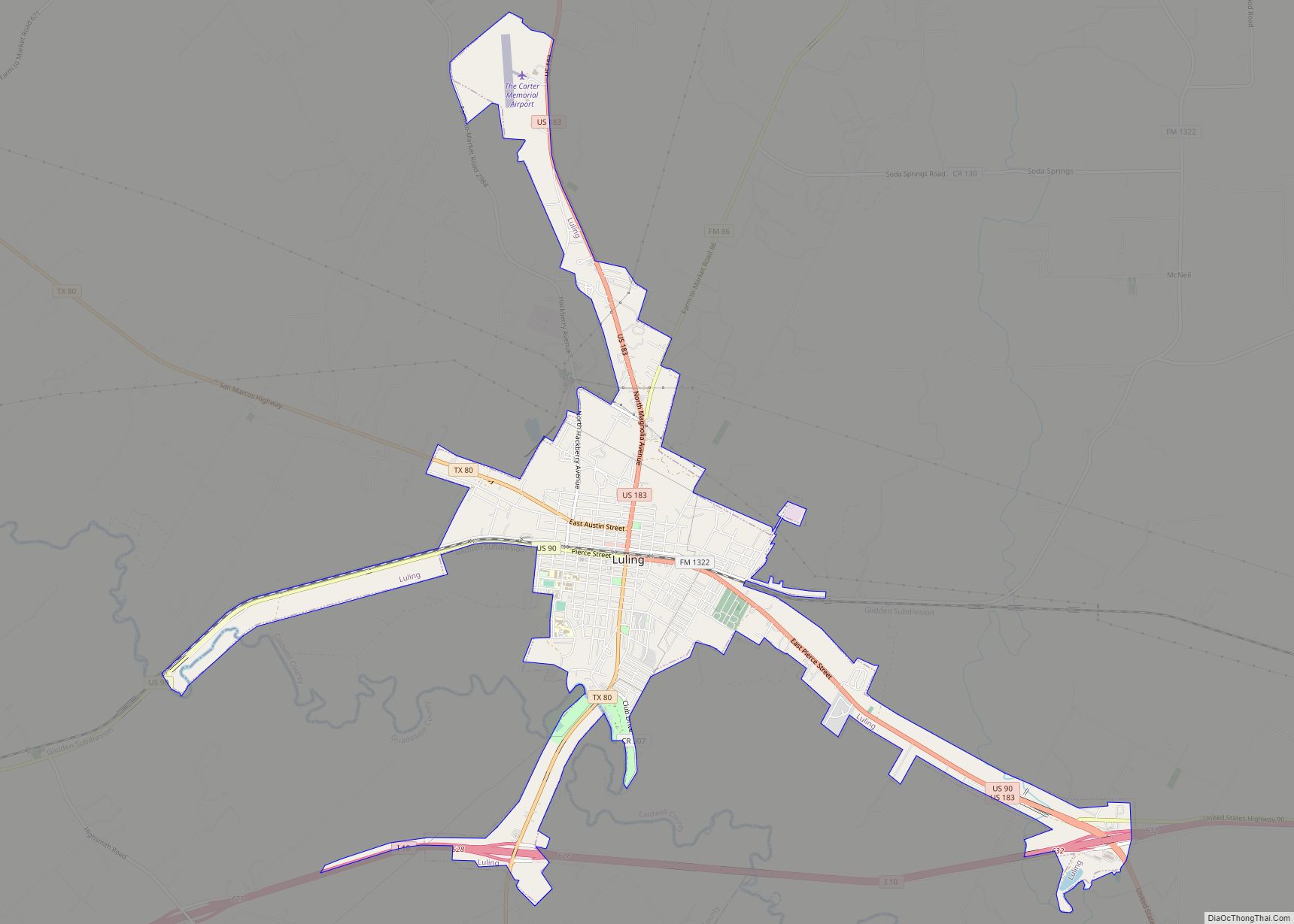
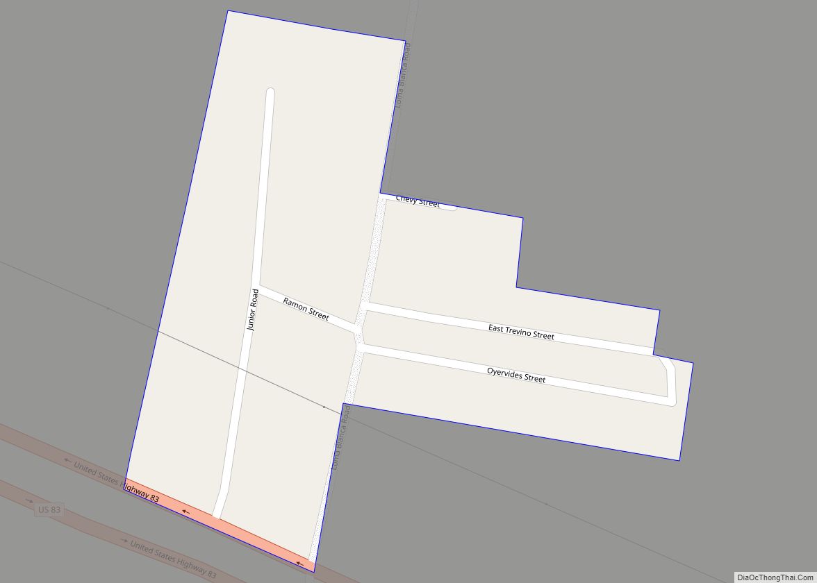
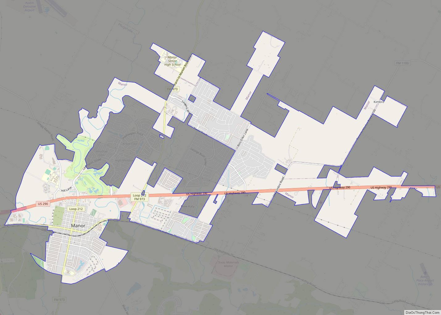
Luling /ˈluːlɪŋ/ is a city in Caldwell and Guadalupe counties, Texas, United States, along the San Marcos River. The population as of the 2020 census was 5,599. Luling city overview: Name: Luling city LSAD Code: 25 LSAD Description: city (suffix) State: Texas County: Caldwell County, Guadalupe County Elevation: 410 ft (125 m) Total Area: 5.55 sq mi (14.38 km²) Land ... Read more
Map of Luling city, Texas
Map of Lufkin city
Lufkin is the largest city in Angelina County, Texas and the county seat. The city is situated in Deep East Texas and is 60 mi (97 km) west of the Texas- Louisiana state line. Its estimated population is 35,021 as of July 1, 2019. Lufkin was founded in 1884 and named for Abraham P. Lufkin. It originally ... Read more
Map of Lufkin city
Map of Lueders city
Lueders is a city in Jones and Shackelford counties in the U.S. state of Texas. The population was 346 at the 2010 census. The portion of Lueders located in Jones County is part of the Abilene, Texas metropolitan area. Lueders city overview: Name: Lueders city LSAD Code: 25 LSAD Description: city (suffix) State: Texas County: ... Read more
Map of Lueders city
Map of Lucas city, Texas
Lucas is a city in Collin County, Texas, United States. As of the 2010 census the population was 5,166, up from 2,890 at the 2000 census; in 2020, its population was 7,612. Lucas city overview: Name: Lucas city LSAD Code: 25 LSAD Description: city (suffix) State: Texas County: Collin County Elevation: 568 ft (173 m) Total Area: ... Read more
Map of Lucas city, Texas
Map of Madisonville city, Texas
Madisonville is a city in Madison County, Texas, United States. The population was 4,420 at the 2020 census. It is the county seat of Madison County. Both the City of Madisonville and the County of Madison were named for U.S. President James Madison, the fourth chief executive. Madisonville city overview: Name: Madisonville city LSAD Code: ... Read more
Map of Madisonville city, Texas
Map of Macdona CDP
Macdona is an unincorporated community and census-designated place in Bexar County, Texas, United States. As of the 2010 census it had a population of 559. Macdona lies along the Union Pacific rail line near Loop 1604 in southwest Bexar County. It is part of the San Antonio Metropolitan Statistical Area. Macdona CDP overview: Name: Macdona ... Read more
Map of Macdona CDP
Map of Marathon CDP, Texas
Marathon (/ˈmærəθən/) is a census-designated place (CDP) in Brewster County, Texas, United States. The population was 470 in 2007, after growing from 455 in 2000, but had decreased to 430 by 2010. As of 2012 Marathon services tourists traveling to Big Bend National Park. Marathon CDP overview: Name: Marathon CDP LSAD Code: 57 LSAD Description: ... Read more
Map of Marathon CDP, Texas
Map of Manvel city, Texas
Manvel is a city in Brazoria County, Texas, United States. As of the 2020 census the population was 9,992, up from 5,179 at the 2010 census. Manvel city overview: Name: Manvel city LSAD Code: 25 LSAD Description: city (suffix) State: Texas County: Brazoria County Elevation: 52 ft (16 m) Total Area: 27.50 sq mi (71.22 km²) Land Area: 27.45 sq mi (71.09 km²) ... Read more
Map of Manvel city, Texas
Map of Manuel Garcia CDP
Manuel Garcia is a census-designated place (CDP) in Starr County, Texas, United States. It is a new CDP formed from part of the former La Casita-Garciasville CDP prior to the 2010 census with a population of 203. Manuel Garcia CDP overview: Name: Manuel Garcia CDP LSAD Code: 57 LSAD Description: CDP (suffix) State: Texas County: ... Read more
Map of Manuel Garcia CDP
Map of Manuel Garcia II CDP
Manuel Garcia II is a census-designated place (CDP) in Starr County, Texas, United States. It is a new CDP formed from part of the former La Casita-Garciasville CDP prior to the 2010 census with a population of 77. Manuel Garcia II CDP overview: Name: Manuel Garcia II CDP LSAD Code: 57 LSAD Description: CDP (suffix) ... Read more
Map of Manuel Garcia II CDP
Map of Mansfield city, Texas
Mansfield is a suburban city in the U.S. state of Texas, and is part of the Dallas–Fort Worth metroplex area. The city is located mostly in Tarrant County, with small parts in Ellis and Johnson counties. Its location is approximately 30 miles from Dallas and 20 miles from Fort Worth, and is adjacent to Arlington. ... Read more
Map of Mansfield city, Texas
Map of Manor city, Texas
Manor (/ˈmeɪnər/ MAY-nər) is a city in Travis County, Texas, United States. Manor is located 12 miles northeast of Austin and is part of the Austin-Round Rock metropolitan area. The population was 13,652 at the 2020 census. Manor is one of the faster-growing suburbs of Austin. The city was the 7th fastest growing suburb in ... Read more
Map of Manor city, Texas