Lufkin is the largest city in Angelina County, Texas and the county seat. The city is situated in Deep East Texas and is 60 mi (97 km) west of the Texas- Louisiana state line. Its estimated population is 35,021 as of July 1, 2019.
Lufkin was founded in 1884 and named for Abraham P. Lufkin. It originally served as a stop on the Houston, East and West Texas Railway. It was officially incorporated on October 15, 1890. Lufkin continued to serve as a stop on the railroad until 1890. Three businessmen founded Angelina Lumber Company, which led to much of the economic prosperity Lufkin later had. When the so-called “timber boom” came to an end, a new “golden era of expansion” began. Lufkin became more industrialized with the opening of Lufkin Industries and Southland Paper Mill. In the mid-1960s, a cultural expansion began, and improvements were made to education and the way of life, including museums and the opening of a new library.
The City of Lufkin has a council–manager government, with 6 city council members, a mayor, and a city manager. The Lufkin Independent School District encompasses most of Lufkin and operates almost all of the schools within Lufkin. Additionally, Angelina College, a community college, is located in Lufkin.
| Name: | Lufkin city |
|---|---|
| LSAD Code: | 25 |
| LSAD Description: | city (suffix) |
| State: | Texas |
| County: | Angelina County |
| Founded: | 1882 |
| Incorporated: | October 15, 1890 |
| Elevation: | 312 ft (95 m) |
| Total Area: | 34.48 sq mi (89.30 km²) |
| Land Area: | 34.21 sq mi (88.60 km²) |
| Water Area: | 0.27 sq mi (0.71 km²) |
| Total Population: | 35,067 |
| Population Density: | 1,023.80/sq mi (395.29/km²) |
| ZIP code: | 75901, 75902, 75903, 75904, 75915 |
| Area code: | 936 |
| FIPS code: | 4845072 |
| GNISfeature ID: | 1382208 |
| Website: | cityoflufkin.com |
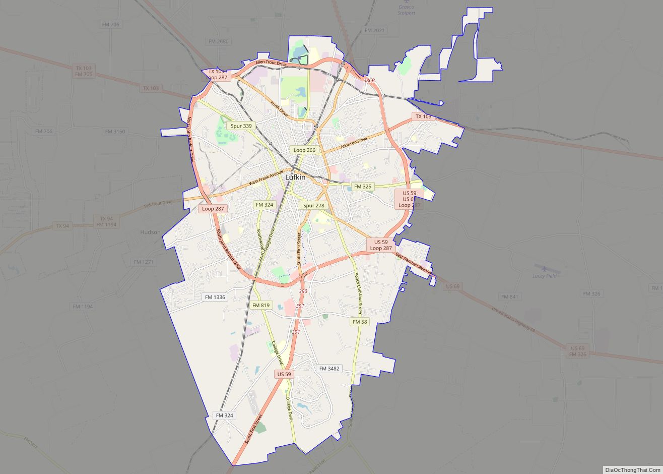
Online Interactive Map
Click on ![]() to view map in "full screen" mode.
to view map in "full screen" mode.
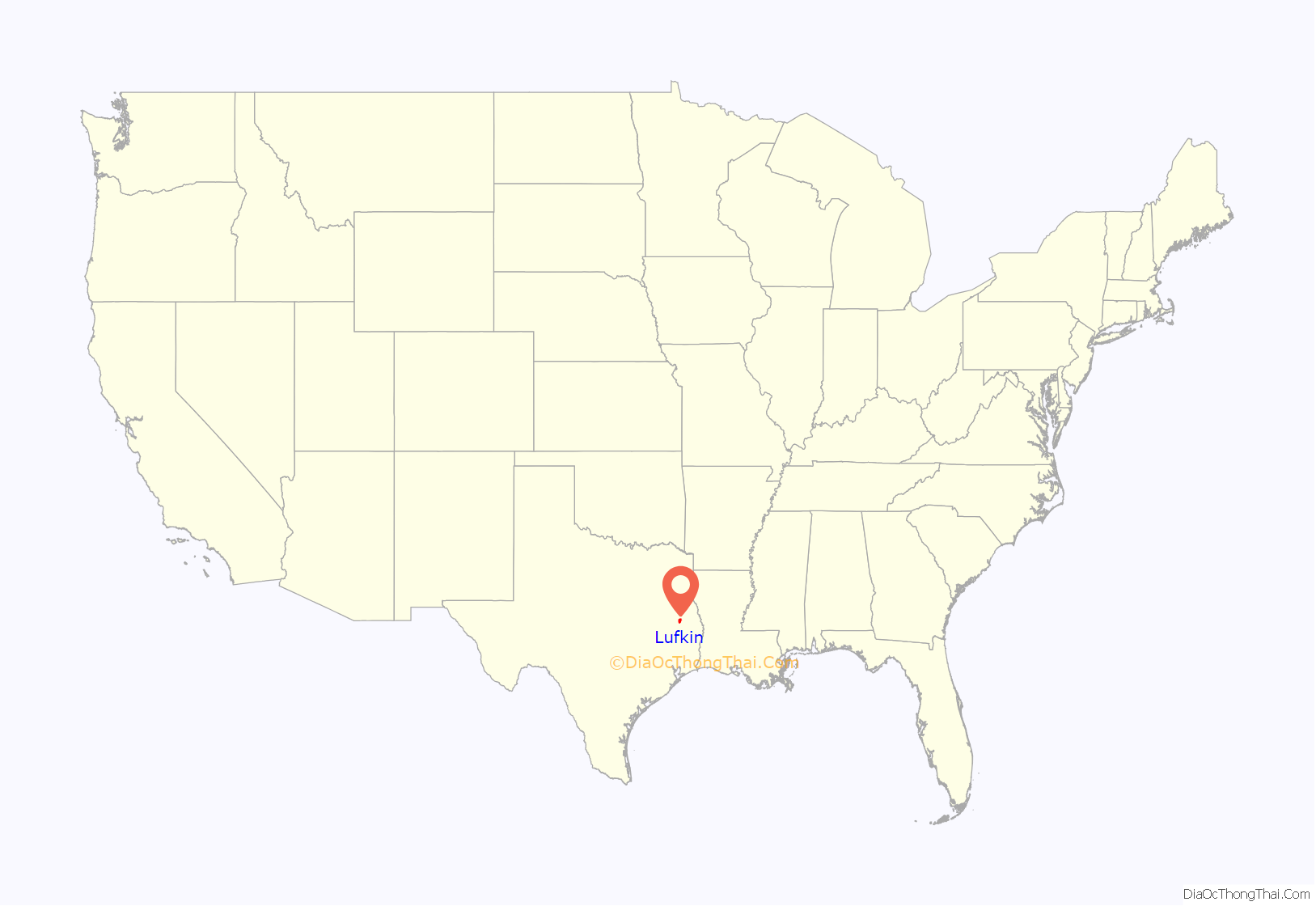
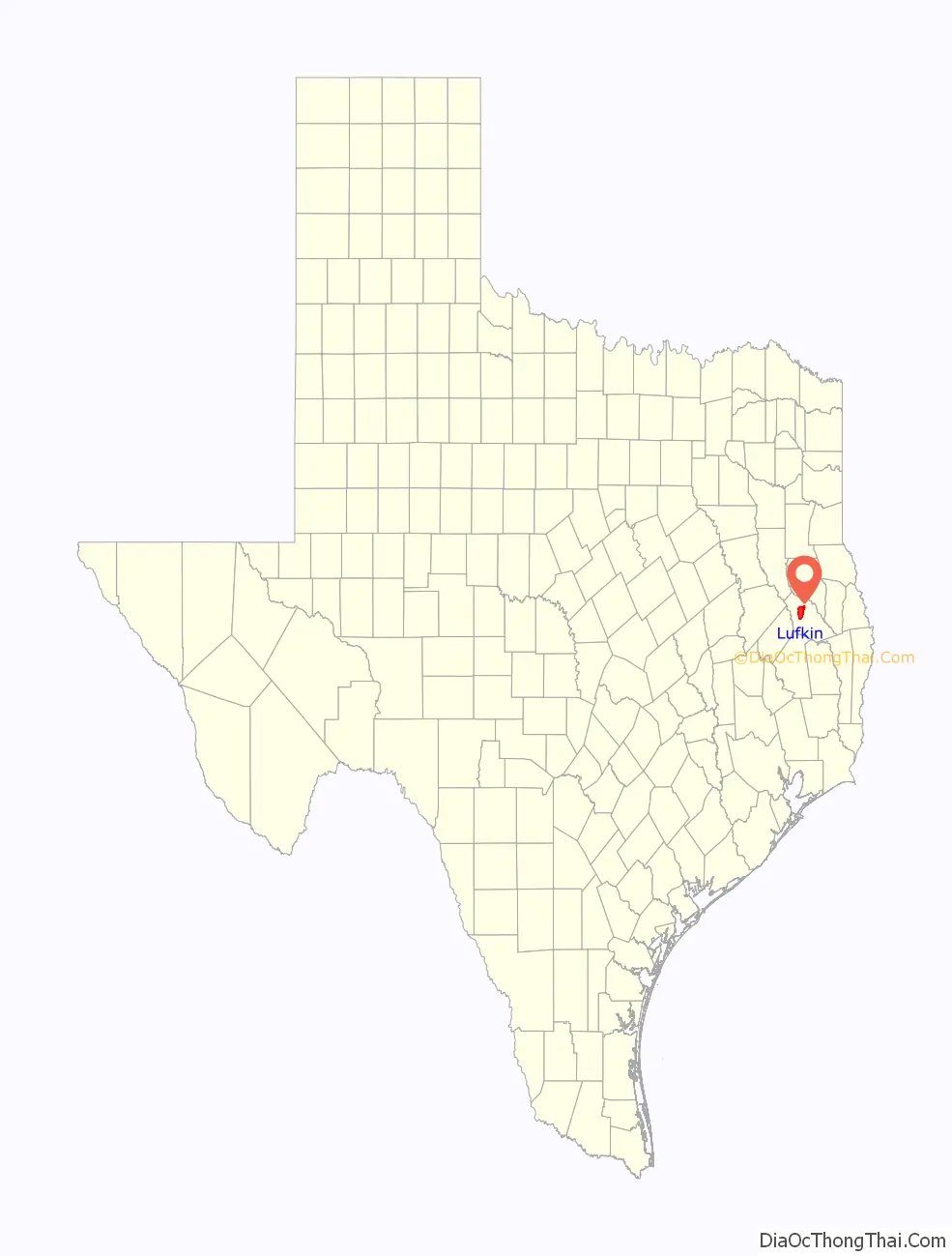
Lufkin location map. Where is Lufkin city?
History
The city was originally founded in 1882 as a stop on the Houston, East and West Texas Railway; it is named for Abraham P. Lufkin, a cotton merchant and Galveston city councilman. Lufkin was the father-in-law of Paul Bremond, president of the railroad, which developed the town. Lufkin continued to grow because of its proximity to the railroad and its lumber industry. The history of Lufkin can be divided into three main eras, the railroad era, the timber boom, and the golden era of expansion.
Railroad era
The railroad era lasted between 1882 and 1890. In 1881, the area that is now Lufkin was little more than a small settlement known as Denman Springs. A railroad surveying team began to plan a route through Angelina County, with a possible route through Homer, Texas, which at the time was the county seat. According to legend, the men in the surveying team began to get rowdy in the saloon in Homer, which led to their arrest. They paid their way out the next morning, but this infuriated the chief surveyor. He ordered the team for the rail line to bypass Homer and go by Denman Springs. Conveniently, the new route went through the property of Lafayette Denman and his son, Dr. A. M. Denman, who as the legend goes, had hosted the surveying team a few days earlier. This legend is most likely not true since the prospectus in 1879 already had the railroad planned to bypass Homer and go through the future site of Lufkin.
The railroad officially arrived in 1882, and the company began to advertise the sale of lots of land in Lufkin. During this time, many of the businesses and professionals from Homer began to relocate to Lufkin to be closer to the railroad. Some of the first stores in Lufkin included S. Abram’s general store, Joseph Kerr’s grocery and saddle shop, and W. H. Bonner’s general store, all located on Cotton Square, which became the center of most economic activity in Lufkin. Behind the depot, which was on the cotton square, cotton was stored before being shipped on the railroad. The town continued to grow, and acquired a post office in 1882 with William A. Abney as postmaster. Soon after in 1883, a telegraph line was strung connecting Lufkin to Nacogdoches by telegraph. On October 15, 1890, the town was officially incorporated. The first mayor of Lufkin was J. M. Smith, who was the owner of Smith Hotel; he was elected on November 15, 1890. Even before the incorporation of Lufkin, the courthouse was sought to have been moved. By a vote in 1885, though, the courthouse remained in Homer. In November 1891, a fire of mysterious origin destroyed the courthouse in Homer. This prompted a petition from the citizens of Lufkin asking for a new election to be held to decide if the courthouse should be relocated to Lufkin. The election was held on January 2, 1892, and the citizens decided to relocate the courthouse to Lufkin.
Timber boom
The timber boom lasted between 1890 and 1920. Three main lumbering families are recognized for much of the economic prosperity in Lufkin – the Kurths, the Hendersons, and the Wieners. Joseph H. Kurth Sr., was a German immigrant, who had operated a sawmill in Polk County, Texas. He moved to a small settlement north of Lufkin known as Keltys. In 1887, Kurth obtained a sawmill from Charles L. Kelty. He was soon joined by S. W. Henderson Sr., and Sam Wiener, both of Corrigan, Texas. In 1890, the men started the Angelina County Lumber Company. The company became the forerunner of the lumber industry in East Texas, and led to much of the economic prosperity in Lufkin. At the peak of the three families’ activities, nearly a dozen sawmills and several other industries were operating.
Golden era of expansion
The golden era of expansion occurred between 1938 and 1945. In the late 1930s, two of the principal industries in Lufkin, the Southland Paper Mill, later known as Abitibi Bowater Inc. which closed in 2007, and Texas Foundries opened. These companies provided much of Lufkin’s industrial growth. The largest industrial employer was Lufkin Foundry and Machine Company, later known as Lufkin Industries; it ceased operations in 2018.
Cultural expansion
In early Lufkin history, most daily life revolved around churches, schools, and sports activities, but this began to change between 1965 and 1983, when Lufkin began a cultural expansion. Improvements included the Kurth Memorial Library, new museums, a civic center, Angelina College, a new federal building, a country club, municipal and city parks, two shopping malls, and the Lufkin Independent School District. Lufkin celebrated its centennial in 1982.
Recent history
Debris from the Space Shuttle Columbia disaster fell over the Lufkin area on February 1, 2003.
A Little League Baseball team from Lufkin, locally known as the Thundering 13, won the U.S. Championship at the 2017 Little League World Series in Williamsport, Pennsylvania. There have been many community tributes to the team.
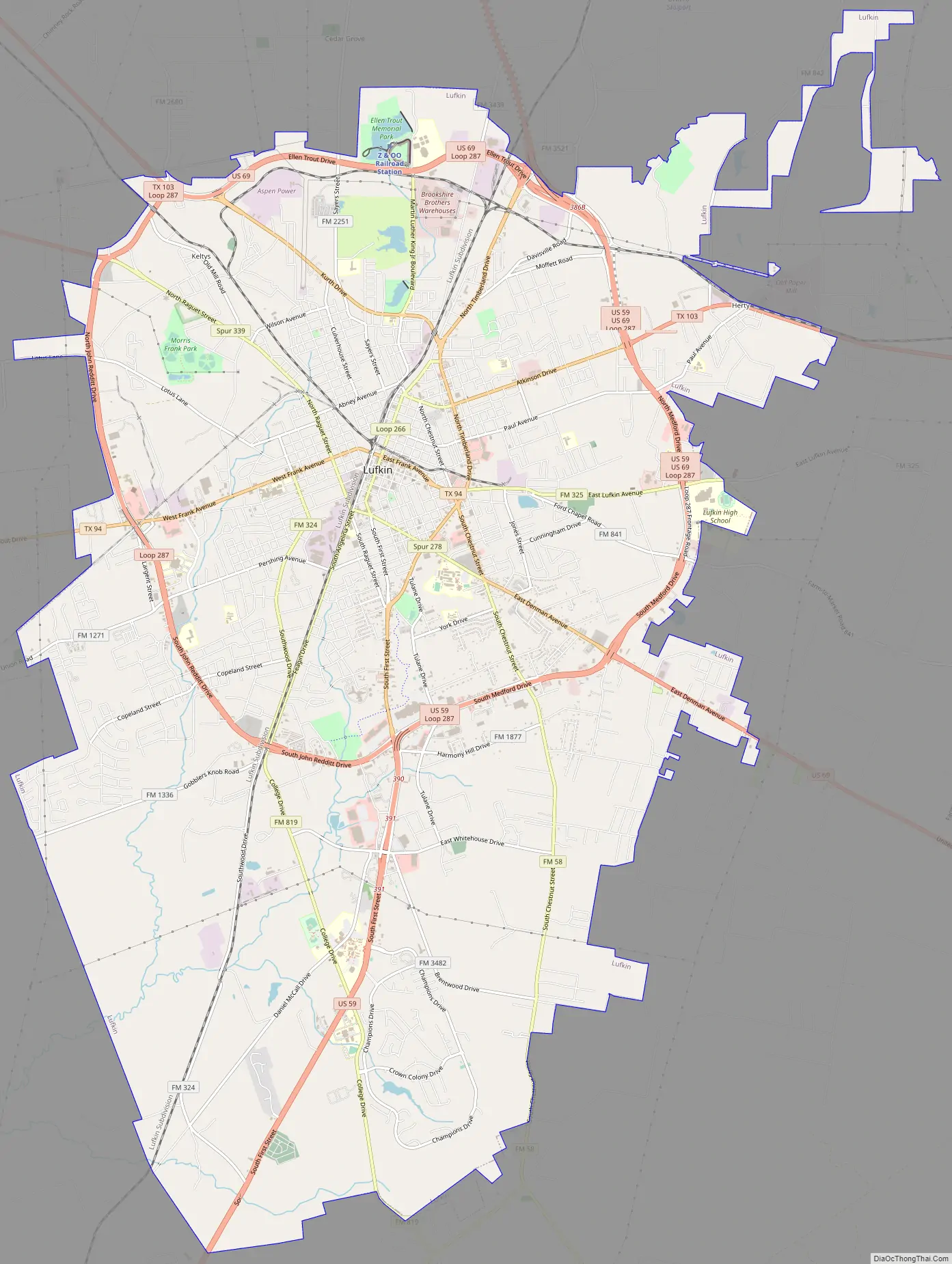
Lufkin Road Map
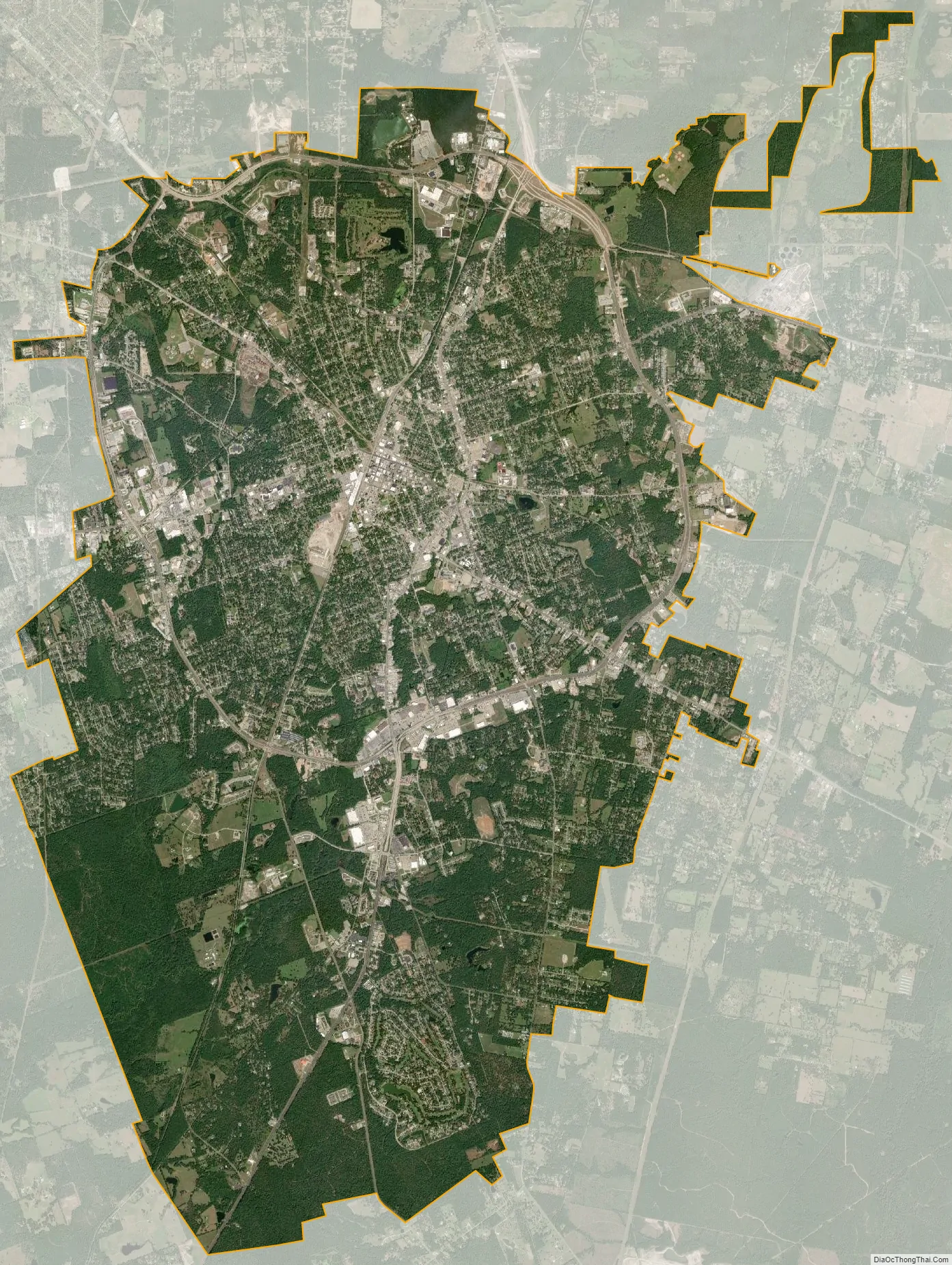
Lufkin city Satellite Map
Geography
According to the United States Census Bureau, in 2010, the city has a total area of 33.38 sq mi (86.5 km).
Lufkin is at the crossroads of East Texas at the intersections of Highways US 59, future Interstate 69, which leads to Houston and the Rio Grande Valley to the south and Nacogdoches and Texarkana to the north, and US 69, which leads from the Golden Triangle of southeast Texas (Port Arthur and Beaumont) to points such as Jacksonville, Tyler, Dallas, and Oklahoma to the north.
Lufkin is 115 miles (185 km) northeast of Houston.
The elevation of Lufkin is 139 to 404 ft above mean sea level.
National forests and grasslands
The headquarters of all four United States National Forests and two United States National Grasslands in Texas are located in Lufkin. They are the Angelina, Davy Crockett, Sabine, and Sam Houston National Forests, and the Caddo and Lyndon B. Johnson National Grasslands.
Climate
Lufkin is a humid subtropical climate that generally has relatively high temperatures with evenly distributed precipitation throughout the year. Generally, this climate is seen on the eastern side continents between 20 and 35°N or S latitude. During summer, these regions over low-latitude ocean waters are generally under the influence of hot, maritime overflow from the western side of subtropical anticyclonic cells. These higher temperatures can lead to warm, oppressive nights. Due to an increase in thunderstorms, summers in Lufkin are usually wetter than winters. Additionally, tropical cyclones can increase precipitation during the summer. Cold months are usually mild and frost is uncommon.
See also
Map of Texas State and its subdivision:- Anderson
- Andrews
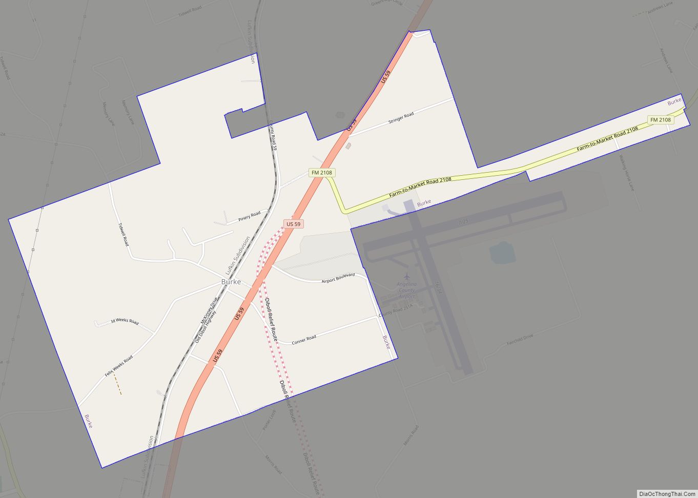
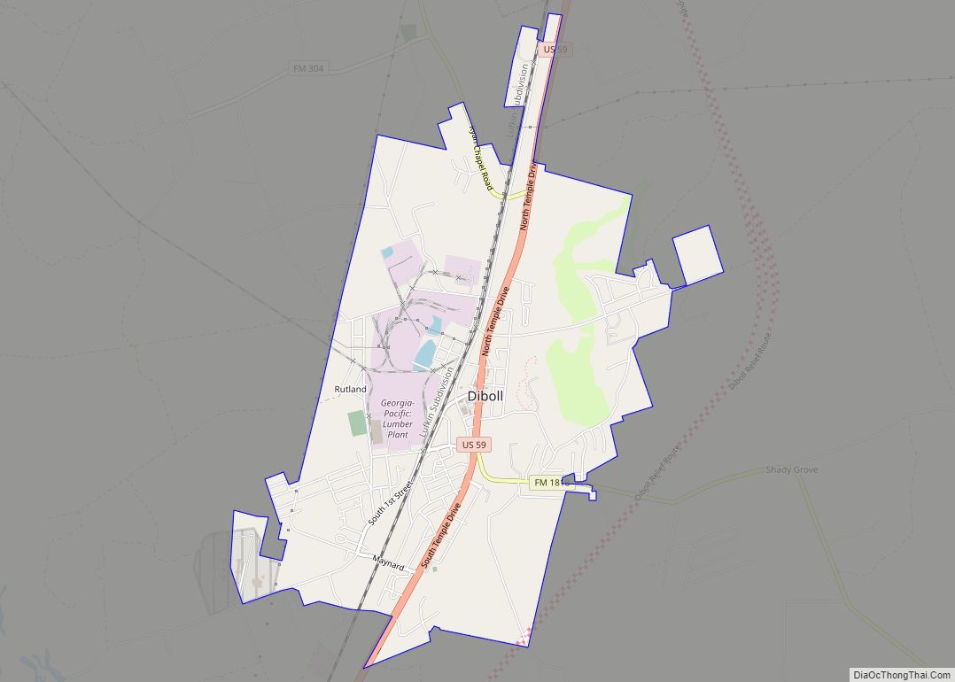
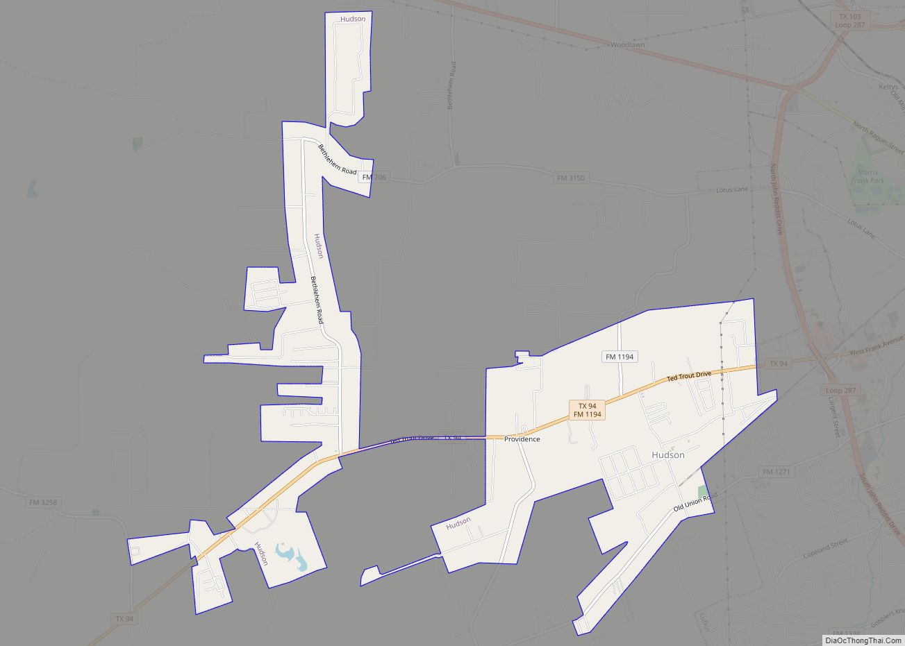
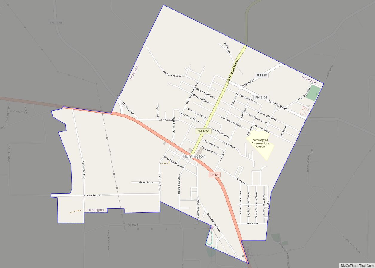
- Angelina
- Aransas
- Archer
- Armstrong
- Atascosa
- Austin
- Bailey
- Bandera
- Bastrop
- Baylor
- Bee
- Bell
- Bexar
- Blanco
- Borden
- Bosque
- Bowie
- Brazoria
- Brazos
- Brewster
- Briscoe
- Brooks
- Brown
- Burleson
- Burnet
- Caldwell
- Calhoun
- Callahan
- Cameron
- Camp
- Carson
- Cass
- Castro
- Chambers
- Cherokee
- Childress
- Clay
- Cochran
- Coke
- Coleman
- Collin
- Collingsworth
- Colorado
- Comal
- Comanche
- Concho
- Cooke
- Coryell
- Cottle
- Crane
- Crockett
- Crosby
- Culberson
- Dallam
- Dallas
- Dawson
- Deaf Smith
- Delta
- Denton
- Dewitt
- Dickens
- Dimmit
- Donley
- Duval
- Eastland
- Ector
- Edwards
- El Paso
- Ellis
- Erath
- Falls
- Fannin
- Fayette
- Fisher
- Floyd
- Foard
- Fort Bend
- Franklin
- Freestone
- Frio
- Gaines
- Galveston
- Garza
- Gillespie
- Glasscock
- Goliad
- Gonzales
- Gray
- Grayson
- Gregg
- Grimes
- Guadalupe
- Hale
- Hall
- Hamilton
- Hansford
- Hardeman
- Hardin
- Harris
- Harrison
- Hartley
- Haskell
- Hays
- Hemphill
- Henderson
- Hidalgo
- Hill
- Hockley
- Hood
- Hopkins
- Houston
- Howard
- Hudspeth
- Hunt
- Hutchinson
- Irion
- Jack
- Jackson
- Jasper
- Jeff Davis
- Jefferson
- Jim Hogg
- Jim Wells
- Johnson
- Jones
- Karnes
- Kaufman
- Kendall
- Kenedy
- Kent
- Kerr
- Kimble
- King
- Kinney
- Kleberg
- Knox
- La Salle
- Lamar
- Lamb
- Lampasas
- Lavaca
- Lee
- Leon
- Liberty
- Limestone
- Lipscomb
- Live Oak
- Llano
- Loving
- Lubbock
- Lynn
- Madison
- Marion
- Martin
- Mason
- Matagorda
- Maverick
- McCulloch
- McLennan
- McMullen
- Medina
- Menard
- Midland
- Milam
- Mills
- Mitchell
- Montague
- Montgomery
- Moore
- Morris
- Motley
- Nacogdoches
- Navarro
- Newton
- Nolan
- Nueces
- Ochiltree
- Oldham
- Orange
- Palo Pinto
- Panola
- Parker
- Parmer
- Pecos
- Polk
- Potter
- Presidio
- Rains
- Randall
- Reagan
- Real
- Red River
- Reeves
- Refugio
- Roberts
- Robertson
- Rockwall
- Runnels
- Rusk
- Sabine
- San Augustine
- San Jacinto
- San Patricio
- San Saba
- Schleicher
- Scurry
- Shackelford
- Shelby
- Sherman
- Smith
- Somervell
- Starr
- Stephens
- Sterling
- Stonewall
- Sutton
- Swisher
- Tarrant
- Taylor
- Terrell
- Terry
- Throckmorton
- Titus
- Tom Green
- Travis
- Trinity
- Tyler
- Upshur
- Upton
- Uvalde
- Val Verde
- Van Zandt
- Victoria
- Walker
- Waller
- Ward
- Washington
- Webb
- Wharton
- Wheeler
- Wichita
- Wilbarger
- Willacy
- Williamson
- Wilson
- Winkler
- Wise
- Wood
- Yoakum
- Young
- Zapata
- Zavala
- Alabama
- Alaska
- Arizona
- Arkansas
- California
- Colorado
- Connecticut
- Delaware
- District of Columbia
- Florida
- Georgia
- Hawaii
- Idaho
- Illinois
- Indiana
- Iowa
- Kansas
- Kentucky
- Louisiana
- Maine
- Maryland
- Massachusetts
- Michigan
- Minnesota
- Mississippi
- Missouri
- Montana
- Nebraska
- Nevada
- New Hampshire
- New Jersey
- New Mexico
- New York
- North Carolina
- North Dakota
- Ohio
- Oklahoma
- Oregon
- Pennsylvania
- Rhode Island
- South Carolina
- South Dakota
- Tennessee
- Texas
- Utah
- Vermont
- Virginia
- Washington
- West Virginia
- Wisconsin
- Wyoming