Map of Van Horn town
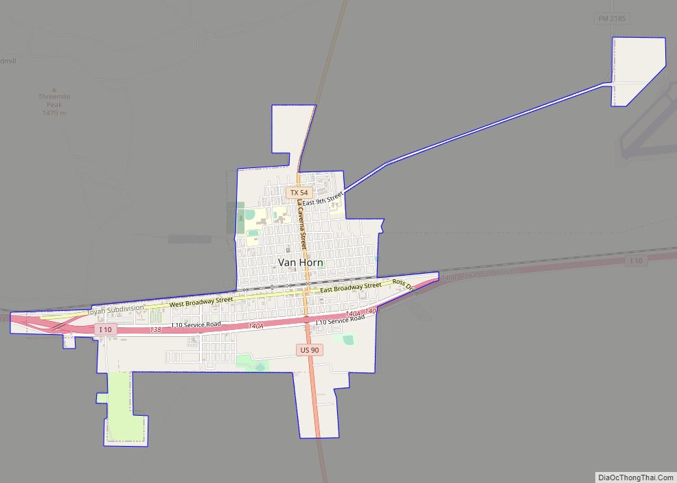
Van Horn is a town in and the seat of Culberson County, Texas, United States. According to the 2010 census, Van Horn had a population of 2,063, down from 2,435 at the 2000 census. The 2020 census results detailed a decline in population to 1,941. Van Horn’s official newspaper is The Van Horn Advocate. The ... Read more
Map of Van Horn town
Map of Van Alstyne city
Van Alstyne is a city in Grayson and Collin Counties in the U.S. state of Texas. The population was 3,046 at the 2010 census, up from 2,502 at the 2000 census. The Grayson County portion of Van Alstyne is part of the Sherman–Denison Metropolitan Statistical Area. Van Alstyne city overview: Name: Van Alstyne city LSAD ... Read more
Map of Van Alstyne city
Map of Valley View city, Texas
Valley View is a city in Cooke County, Texas, United States. Its population was 757 at the 2010 census. Valley View city overview: Name: Valley View city LSAD Code: 25 LSAD Description: city (suffix) State: Texas County: Cooke County Elevation: 722 ft (220 m) Total Area: 3.54 sq mi (9.17 km²) Land Area: 3.54 sq mi (9.16 km²) Water Area: 0.00 sq mi (0.01 km²) Total ... Read more
Map of Valley View city, Texas
Map of Valley Mills city
Valley Mills is a city in Bosque and McLennan counties in central Texas, United States. The population was 1,203 at the 2010 census. The McLennan County portion of Valley Mills is part of the Waco Metropolitan Statistical Area. Valley Mills city overview: Name: Valley Mills city LSAD Code: 25 LSAD Description: city (suffix) State: Texas ... Read more
Map of Valley Mills city
Map of Valle Vista CDP, Texas
Valle Vista is a census-designated place (CDP) in Starr County, Texas, United States. It is a new CDP formed from part of the old La Victoria CDP prior to the 2010 census with a population of 469. Valle Vista CDP overview: Name: Valle Vista CDP LSAD Code: 57 LSAD Description: CDP (suffix) State: Texas County: ... Read more
Map of Valle Vista CDP, Texas
Map of Valle Verde CDP
Valle Verde is a census-designated place (CDP) in Webb County, Texas, United States. This was a new CDP formed from parts of the Ranchitos Las Lomas CDP prior to the 2010 census. Although a new CDP the population was listed as zero. It is one of several colonias in the county. Valle Verde CDP overview: ... Read more
Map of Valle Verde CDP
Map of Valle Hermoso CDP
Valle Hermoso is a census-designated place (CDP) in Starr County, Texas, United States. Although a new CDP for the 2010 census the population was listed as zero. Valle Hermoso CDP overview: Name: Valle Hermoso CDP LSAD Code: 57 LSAD Description: CDP (suffix) State: Texas County: Starr County Total Area: 0.5 sq mi (1 km²) Land Area: 0.5 sq mi (1 km²) ... Read more
Map of Valle Hermoso CDP
Map of Venus town
Venus is a town in Johnson and Ellis counties in the U.S. state of Texas. The population was 4,361 in 2020. Venus town overview: Name: Venus town LSAD Code: 43 LSAD Description: town (suffix) State: Texas County: Ellis County, Johnson County Elevation: 666 ft (203 m) Total Area: 3.10 sq mi (8.02 km²) Land Area: 3.10 sq mi (8.02 km²) Water Area: 0.00 sq mi ... Read more
Map of Venus town
Map of Vega city
Vega is a city and county seat of Oldham County, Texas, United States. The population was 884 at the 2010 census, down from 936 at the 2000 census. Vega city overview: Name: Vega city LSAD Code: 25 LSAD Description: city (suffix) State: Texas County: Oldham County Elevation: 4,029 ft (1,228 m) Total Area: 1.34 sq mi (3.47 km²) Land Area: ... Read more
Map of Vega city
Map of Villarreal CDP
Villarreal is a census-designated place (CDP) in Starr County, Texas, United States. This was a new CDP for the 2010 census with a population of 131. Villarreal CDP overview: Name: Villarreal CDP LSAD Code: 57 LSAD Description: CDP (suffix) State: Texas County: Starr County Total Area: 0.1 sq mi (0.3 km²) Land Area: 0.1 sq mi (0.3 km²) Water Area: 0.0 sq mi ... Read more
Map of Villarreal CDP
Map of Villa Verde CDP
Villa Verde is a census-designated place (CDP) in Hidalgo County, Texas. The population was 874 at the 2010 United States Census. It is part of the McAllen–Edinburg–Mission Metropolitan Statistical Area. Villa Verde CDP overview: Name: Villa Verde CDP LSAD Code: 57 LSAD Description: CDP (suffix) State: Texas County: Hidalgo County Elevation: 75 ft (23 m) Total Area: ... Read more
Map of Villa Verde CDP
Map of Villa Pancho CDP
Villa Pancho is a census-designated place (CDP) in Cameron County, Texas, United States. The population was 788 at the 2010 census, up from 386 at the 2000 census. It is part of the Brownsville–Harlingen Metropolitan Statistical Area. Villa Pancho CDP overview: Name: Villa Pancho CDP LSAD Code: 57 LSAD Description: CDP (suffix) State: Texas County: ... Read more
Map of Villa Pancho CDP