Vega is a city and county seat of Oldham County, Texas, United States. The population was 884 at the 2010 census, down from 936 at the 2000 census.
| Name: | Vega city |
|---|---|
| LSAD Code: | 25 |
| LSAD Description: | city (suffix) |
| State: | Texas |
| County: | Oldham County |
| Elevation: | 4,029 ft (1,228 m) |
| Total Area: | 1.34 sq mi (3.47 km²) |
| Land Area: | 1.34 sq mi (3.47 km²) |
| Water Area: | 0.00 sq mi (0.00 km²) |
| Total Population: | 884 |
| Population Density: | 690.58/sq mi (266.56/km²) |
| ZIP code: | 79092 |
| Area code: | 806 |
| FIPS code: | 4875188 |
| GNISfeature ID: | 1370610 |
| Website: | oldhamcofc.org |
Online Interactive Map
Click on ![]() to view map in "full screen" mode.
to view map in "full screen" mode.
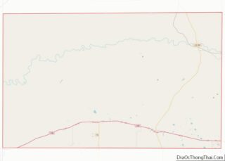
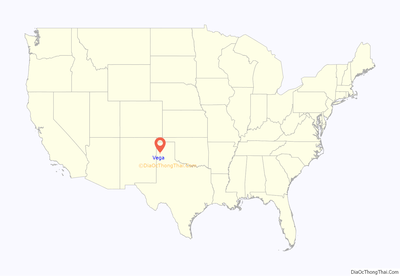
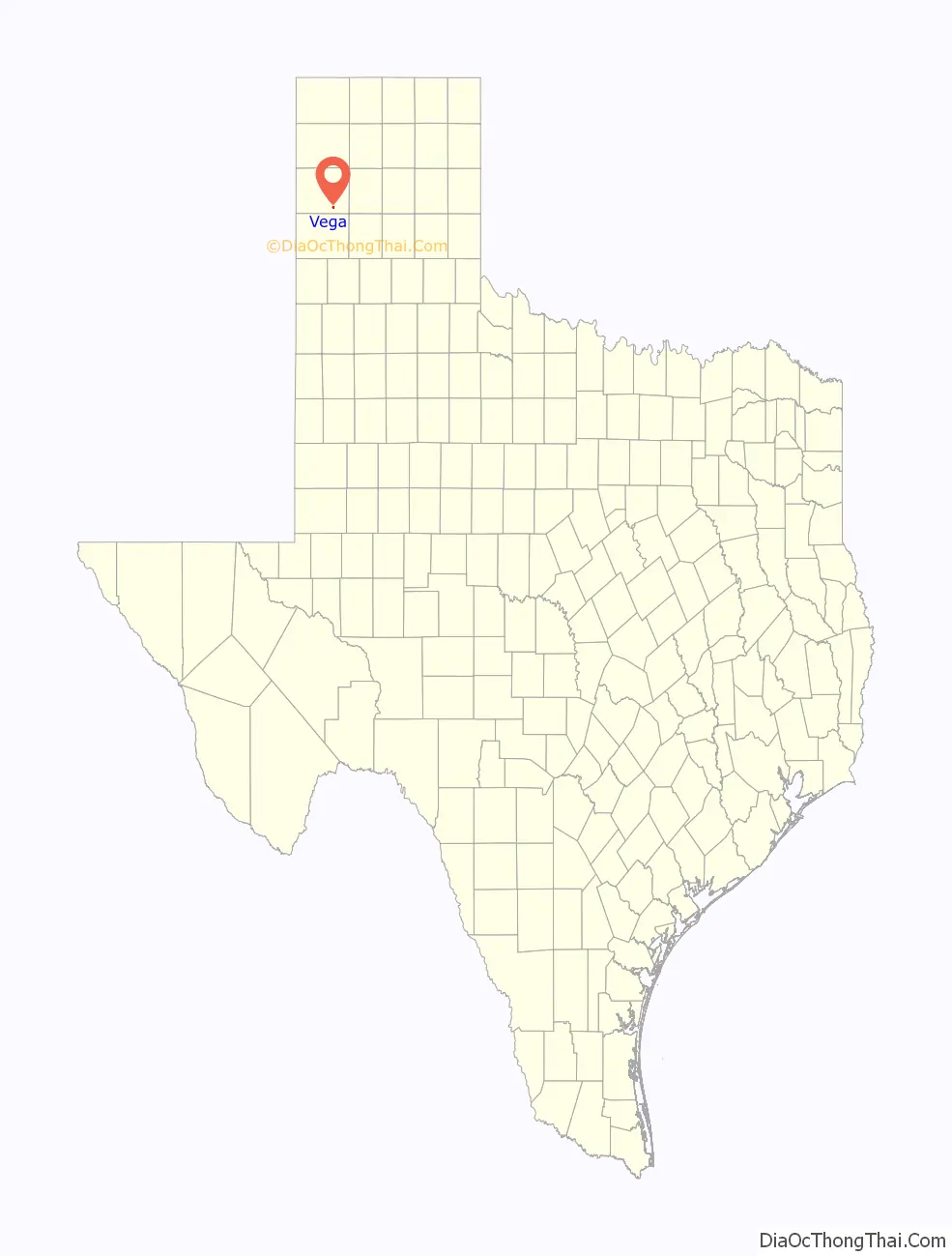
Vega location map. Where is Vega city?
History
In 1879, the area was opened by the state for homesteading. The first settler, N.J. Whitfield, arrived in 1899. On October 17, 1899, he purchased part of Oldham County known as Section 90 at a per-acre rate of US$1 (equivalent to $32.57 in 2021). In 1903, Whitfield sold a 100-foot (30 m) strip of land that extended across the southern part of Oldham County to the Choctaw, Oklahoma, and Texas (later Rock Island) Railroad as a right-of-way. He then sold portions of land on the south side of the right-of-way to other settlers. A. M. Miller and Howard Trigg surveyed the town site that eventually became Vega in May 1903. The name Vega, which is Spanish for “meadow”, was chosen because it reflected the vast prairie and surrounding countryside of the area. Soon after, Miller opened a store, and a post office, saloon, and a school that doubled as a Masonic Lodge were built in the community. In 1907, ranchers Patrick and John Landergin purchased a part of the LS Ranch from Swift & Company. Working in association with the Amarillo, Texas-based Pool Land Company, the Landergin brothers brought more prospective settlers to the community.
The nearby town of Tascosa, Texas, which was designated Oldham County seat in 1880, declined in both importance and population as Vega grew. A five-year battle over which community should serve as Oldham County’s seat of government was put to a vote in 1915. In the special election, citizens chose to move the county seat from Tascosa to Vega. Until a permanent courthouse was built, county business was conducted in Vega’s Oldham Hotel.
Modern amenities, such as telephone service, were introduced during the 1920s. In 1926, Route 66 (superseded by Interstate 40) was commissioned as a link from Chicago to Los Angeles and ran through Vega along the Old Ozark Trail.
Vega was officially incorporated in 1927, and the population was 519 in the 1930 census. On May 3, 1931, a fire destroyed six buildings west of the courthouse square. Two months later, a second fire burned two buildings on the north side of the square. These fires prompted the town to establish a municipal water system.
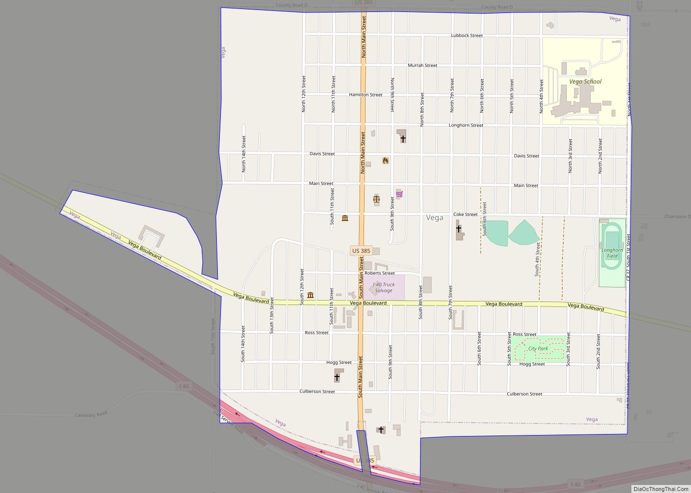
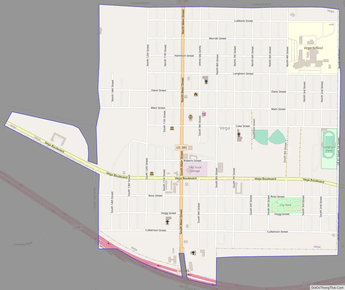
Vega Road Map
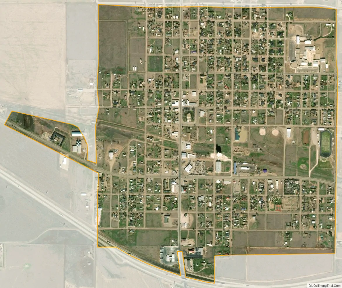
Vega city Satellite Map
Geography
Vega is located at 35°14′44″N 102°25′30″W / 35.24556°N 102.42500°W / 35.24556; -102.42500 (35.245547, –102.425112). It is situated at the junction of Interstate 40 (Old Route 66) and U.S. Highway 385 in southern Oldham County, approximately 30 miles west of Amarillo.
According to the United States Census Bureau, the city has a total area of 1.1 square miles (2.8 km), all of it land.
Climate
According to the Köppen Climate Classification system, Vega has a semi-arid climate, abbreviated “BSk” on climate maps.
See also
Map of Texas State and its subdivision:- Anderson
- Andrews
- Angelina
- Aransas
- Archer
- Armstrong
- Atascosa
- Austin
- Bailey
- Bandera
- Bastrop
- Baylor
- Bee
- Bell
- Bexar
- Blanco
- Borden
- Bosque
- Bowie
- Brazoria
- Brazos
- Brewster
- Briscoe
- Brooks
- Brown
- Burleson
- Burnet
- Caldwell
- Calhoun
- Callahan
- Cameron
- Camp
- Carson
- Cass
- Castro
- Chambers
- Cherokee
- Childress
- Clay
- Cochran
- Coke
- Coleman
- Collin
- Collingsworth
- Colorado
- Comal
- Comanche
- Concho
- Cooke
- Coryell
- Cottle
- Crane
- Crockett
- Crosby
- Culberson
- Dallam
- Dallas
- Dawson
- Deaf Smith
- Delta
- Denton
- Dewitt
- Dickens
- Dimmit
- Donley
- Duval
- Eastland
- Ector
- Edwards
- El Paso
- Ellis
- Erath
- Falls
- Fannin
- Fayette
- Fisher
- Floyd
- Foard
- Fort Bend
- Franklin
- Freestone
- Frio
- Gaines
- Galveston
- Garza
- Gillespie
- Glasscock
- Goliad
- Gonzales
- Gray
- Grayson
- Gregg
- Grimes
- Guadalupe
- Hale
- Hall
- Hamilton
- Hansford
- Hardeman
- Hardin
- Harris
- Harrison
- Hartley
- Haskell
- Hays
- Hemphill
- Henderson
- Hidalgo
- Hill
- Hockley
- Hood
- Hopkins
- Houston
- Howard
- Hudspeth
- Hunt
- Hutchinson
- Irion
- Jack
- Jackson
- Jasper
- Jeff Davis
- Jefferson
- Jim Hogg
- Jim Wells
- Johnson
- Jones
- Karnes
- Kaufman
- Kendall
- Kenedy
- Kent
- Kerr
- Kimble
- King
- Kinney
- Kleberg
- Knox
- La Salle
- Lamar
- Lamb
- Lampasas
- Lavaca
- Lee
- Leon
- Liberty
- Limestone
- Lipscomb
- Live Oak
- Llano
- Loving
- Lubbock
- Lynn
- Madison
- Marion
- Martin
- Mason
- Matagorda
- Maverick
- McCulloch
- McLennan
- McMullen
- Medina
- Menard
- Midland
- Milam
- Mills
- Mitchell
- Montague
- Montgomery
- Moore
- Morris
- Motley
- Nacogdoches
- Navarro
- Newton
- Nolan
- Nueces
- Ochiltree
- Oldham
- Orange
- Palo Pinto
- Panola
- Parker
- Parmer
- Pecos
- Polk
- Potter
- Presidio
- Rains
- Randall
- Reagan
- Real
- Red River
- Reeves
- Refugio
- Roberts
- Robertson
- Rockwall
- Runnels
- Rusk
- Sabine
- San Augustine
- San Jacinto
- San Patricio
- San Saba
- Schleicher
- Scurry
- Shackelford
- Shelby
- Sherman
- Smith
- Somervell
- Starr
- Stephens
- Sterling
- Stonewall
- Sutton
- Swisher
- Tarrant
- Taylor
- Terrell
- Terry
- Throckmorton
- Titus
- Tom Green
- Travis
- Trinity
- Tyler
- Upshur
- Upton
- Uvalde
- Val Verde
- Van Zandt
- Victoria
- Walker
- Waller
- Ward
- Washington
- Webb
- Wharton
- Wheeler
- Wichita
- Wilbarger
- Willacy
- Williamson
- Wilson
- Winkler
- Wise
- Wood
- Yoakum
- Young
- Zapata
- Zavala
- Alabama
- Alaska
- Arizona
- Arkansas
- California
- Colorado
- Connecticut
- Delaware
- District of Columbia
- Florida
- Georgia
- Hawaii
- Idaho
- Illinois
- Indiana
- Iowa
- Kansas
- Kentucky
- Louisiana
- Maine
- Maryland
- Massachusetts
- Michigan
- Minnesota
- Mississippi
- Missouri
- Montana
- Nebraska
- Nevada
- New Hampshire
- New Jersey
- New Mexico
- New York
- North Carolina
- North Dakota
- Ohio
- Oklahoma
- Oregon
- Pennsylvania
- Rhode Island
- South Carolina
- South Dakota
- Tennessee
- Texas
- Utah
- Vermont
- Virginia
- Washington
- West Virginia
- Wisconsin
- Wyoming