Map of Goodman CDP, Wisconsin
Goodman is an unincorporated census-designated place located in the town of Goodman, Marinette County, Wisconsin, United States. Goodman is located on U.S. Route 8 19.5 miles (31.4 km) west-southwest of Niagara. Goodman has a post office with ZIP code 54125. As of the 2010 census, its population is 271. Goodman CDP overview: Name: Goodman CDP LSAD ... Read more
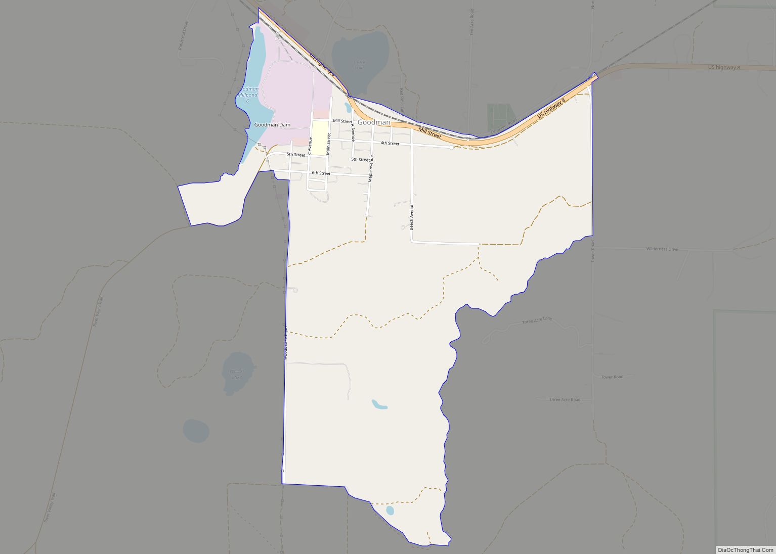
Map of Goodman CDP, Wisconsin
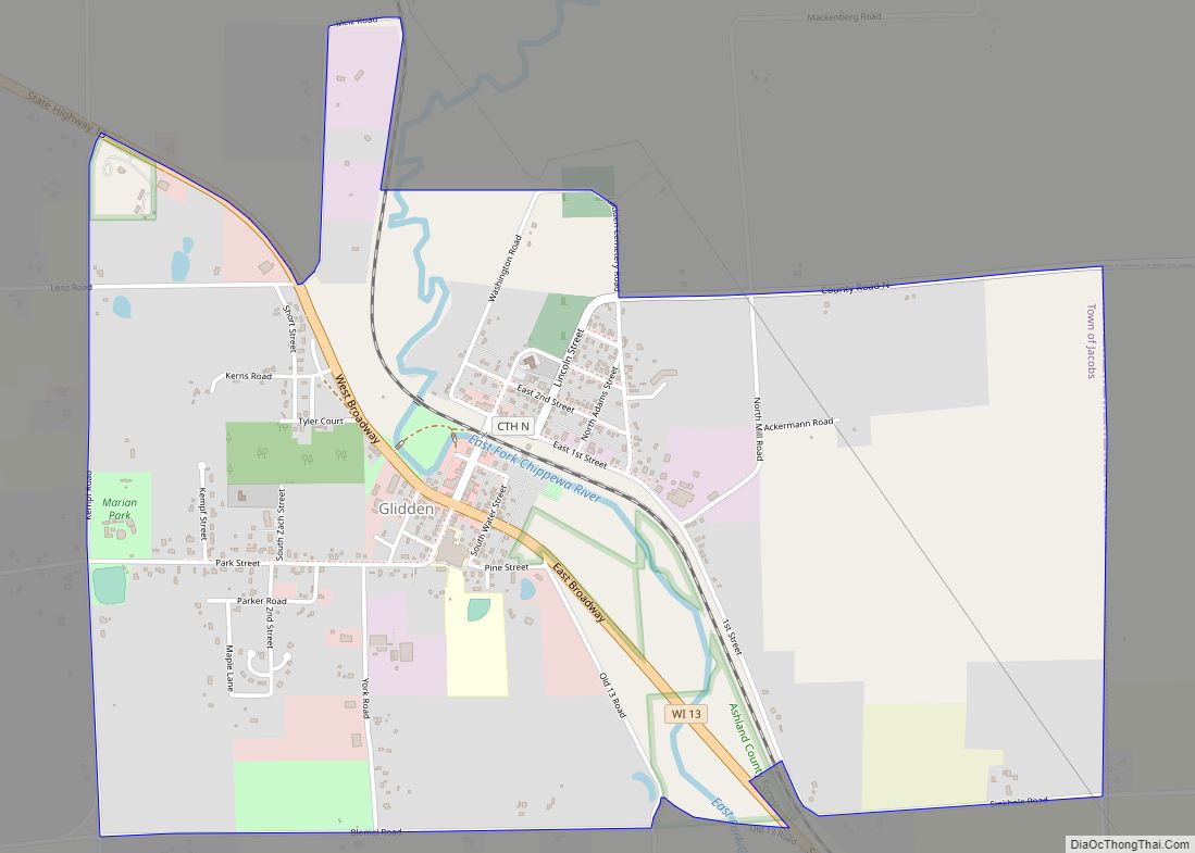
Map of Glidden CDP, Wisconsin
Glidden (also Chippewa Crossing) is an unincorporated census-designated place in the town of Jacobs in Ashland County, Wisconsin, United States. It is located on County Highway N near Wisconsin Highway 13. As of the 2010 census, its population was 507. Glidden CDP overview: Name: Glidden CDP LSAD Code: 57 LSAD Description: CDP (suffix) State: Wisconsin ... Read more
Map of Glidden CDP, Wisconsin
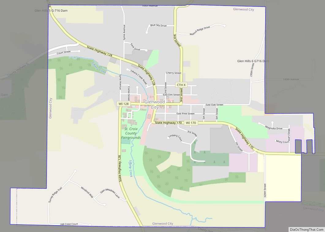
Map of Glenwood City
Glenwood City is a city in St. Croix County, Wisconsin, United States. The population was 1,242 at the 2010 census. Glenwood City is the site of the yearly St. Croix County fair and is known as the “City of 57 Hills.” Glenwood City city overview: Name: Glenwood City city LSAD Code: 25 LSAD Description: city ... Read more
Map of Glenwood City
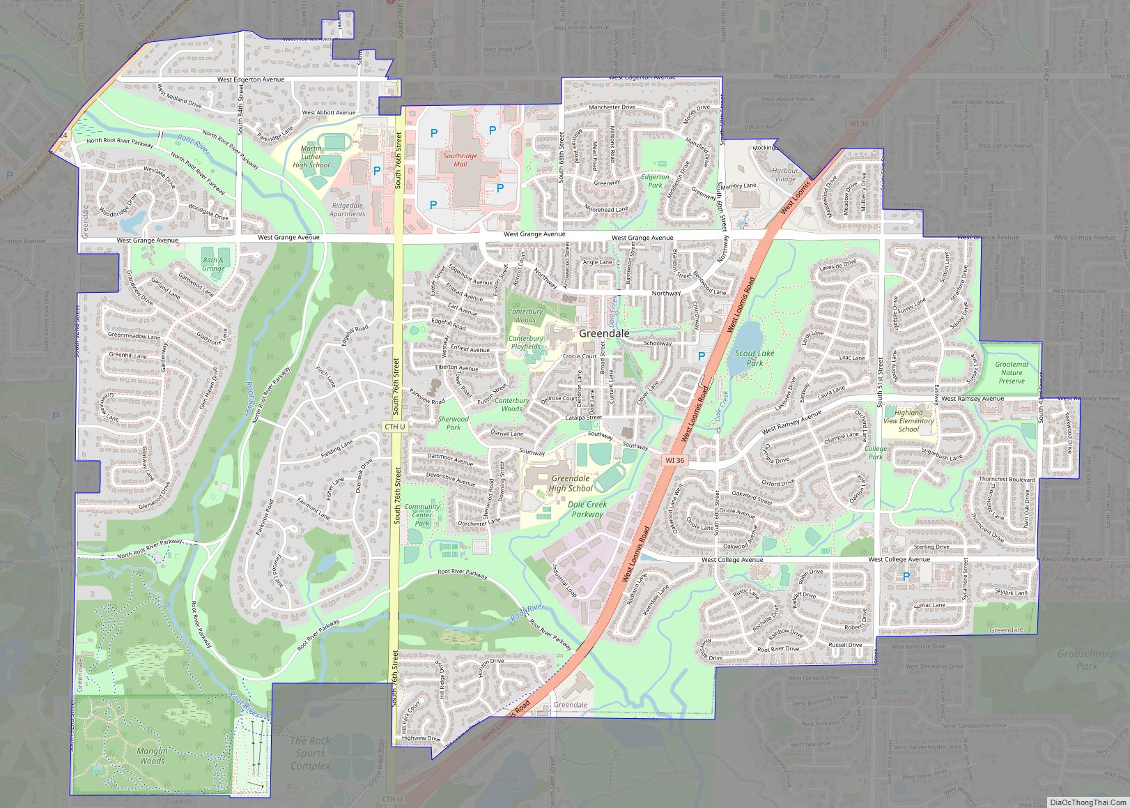
Map of Greendale village, Wisconsin
Greendale is a village in Milwaukee County, Wisconsin, United States. The population was 14,854 at the 2020 census. Greendale is located southwest of Milwaukee, Wisconsin, and is a part of the Milwaukee metropolitan area. A planned community, it was established by the United States government during the Great Depression. Greendale village overview: Name: Greendale village ... Read more
Map of Greendale village, Wisconsin
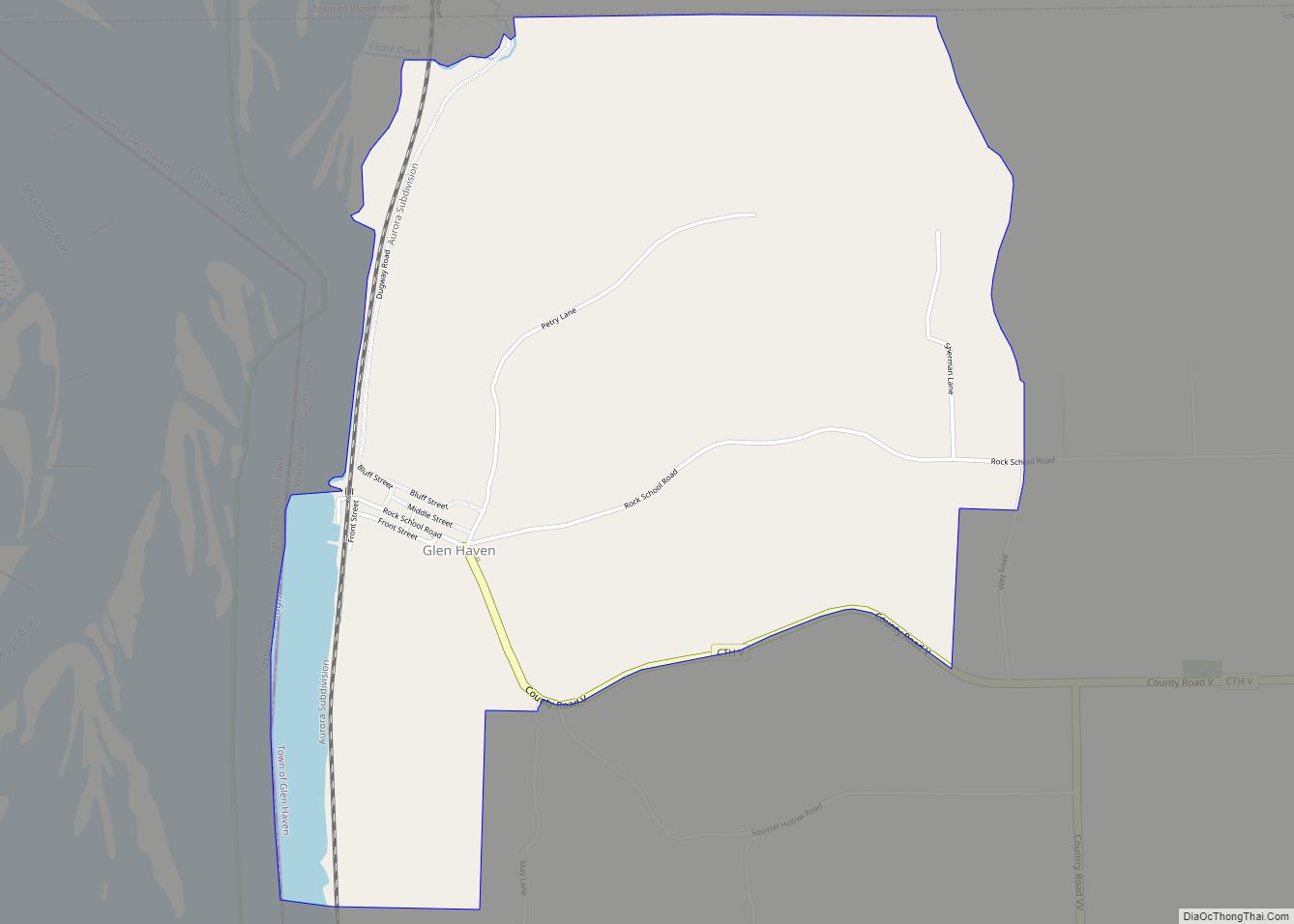
Map of Glen Haven CDP
Glen Haven is an unincorporated census-designated place in the town of Glen Haven, Grant County, Wisconsin, United States. Glen Haven is located on the Mississippi River 9 miles (14 km) northwest of Cassville. Glen Haven has a post office with ZIP code 53810. As of the 2010 census, its population is 73. The town has a ... Read more
Map of Glen Haven CDP
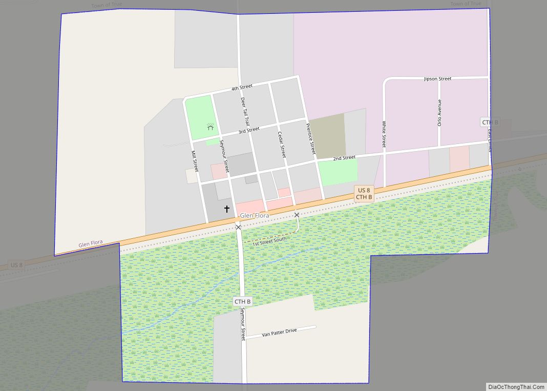
Map of Glen Flora village
Glen Flora is a village in Rusk County, Wisconsin, United States. The population was 92 at the 2010 census. Originally named Miller’s Siding for Frank Miller, who built the first saw mill in the area in the 1880s, the village received its current name in December 1887 when the post office was established. The village ... Read more
Map of Glen Flora village
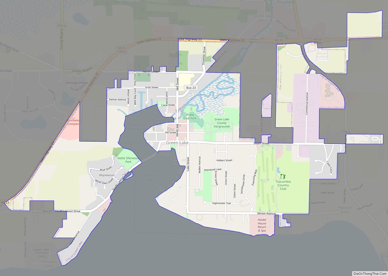
Map of Green Lake city
Green Lake is a city in Green Lake County, Wisconsin, United States. The population was 960 at the 2010 census. The city is located on the north side of Green Lake. The city of Green Lake is the county seat for the county of Green Lake. The Town of Green Lake is located on the ... Read more
Map of Green Lake city
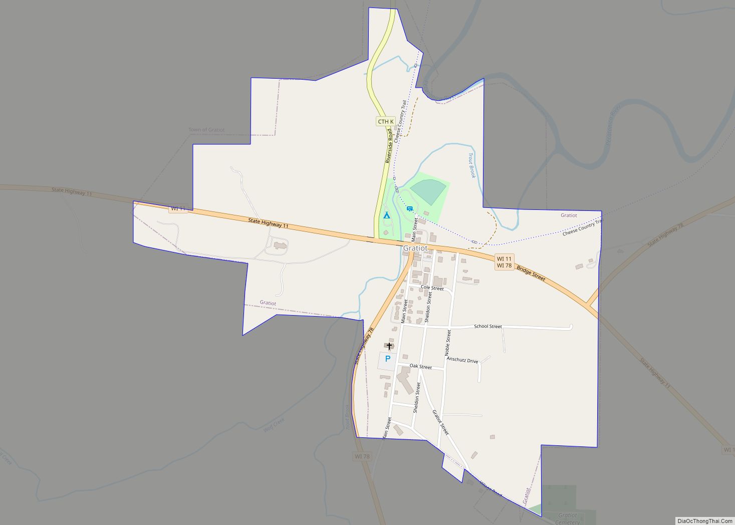
Map of Gratiot village, Wisconsin
Gratiot (/ˈɡrætʃɪt/) is a town in Lafayette County, Wisconsin, United States. The population was 550 at the 2010 census, down from 653 at the 2000 census. The village of Gratiot is located within the town. The unincorporated community of Riverside and part of the unincorporated community of Dunbarton are also in the town. Gratiot village ... Read more
Map of Gratiot village, Wisconsin
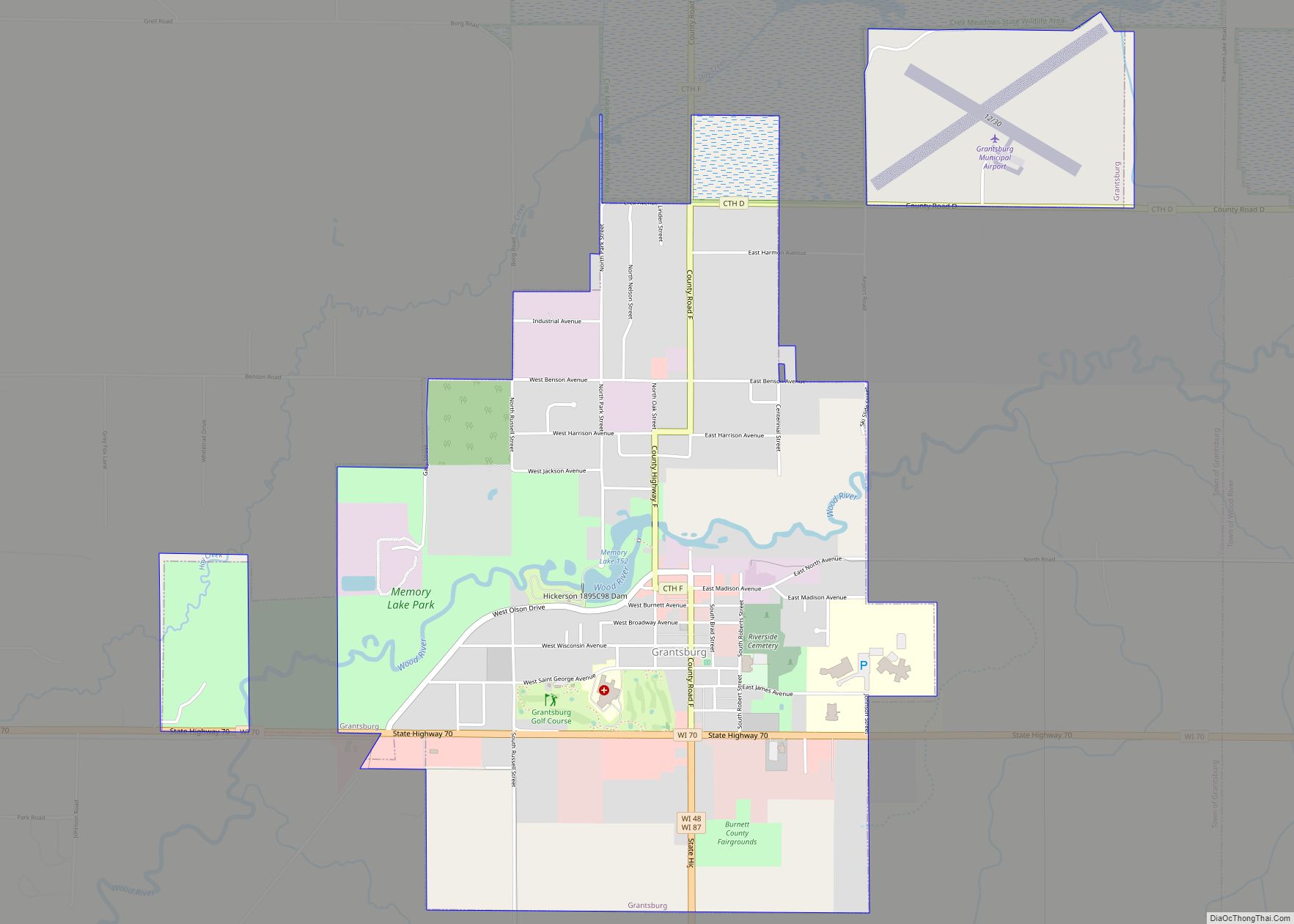
Map of Grantsburg village
Grantsburg is a town in Burnett County in the U.S. state of Wisconsin. The population was 1,136 at the 2010 census. The village of Grantsburg is located within the town. The unincorporated communities of Branstad and Lind are located in the town. Grantsburg village overview: Name: Grantsburg village LSAD Code: 47 LSAD Description: village (suffix) ... Read more
Map of Grantsburg village
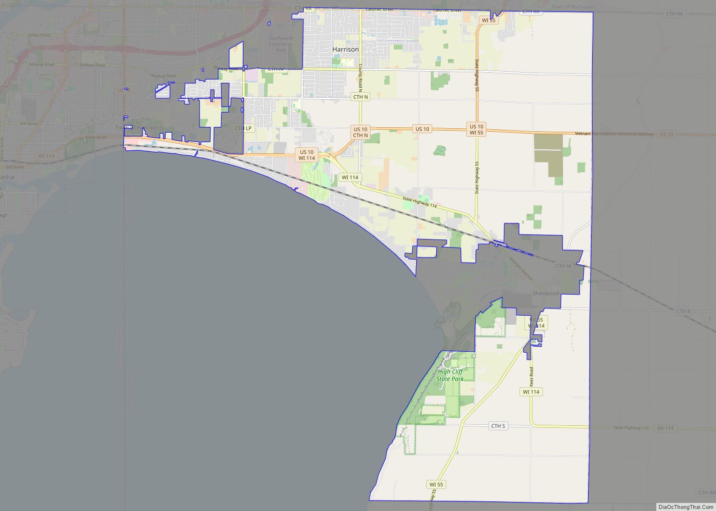
Map of Harrison village, Wisconsin
Harrison is a village in Calumet and Outagamie Counties, Wisconsin, United States. The village was created on March 8, 2013, from unincorporated areas of the Town of Harrison and a portion of the Town of Buchanan: the right of way along County Trunk Highway KK in Outagamie County. The village is located in what was ... Read more
Map of Harrison village, Wisconsin
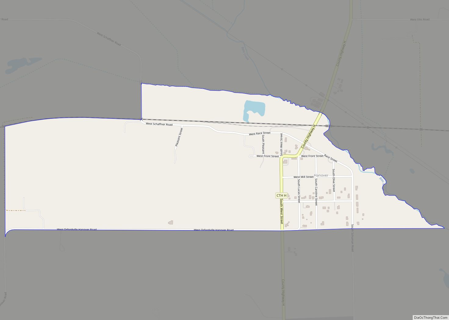
Map of Hanover CDP, Wisconsin
Hanover is an unincorporated census-designated place located in the town of Plymouth, Rock County, Wisconsin, United States. It is west of Janesville and east of Orfordville. As of the 2020 census, its population was 179. Hanover CDP overview: Name: Hanover CDP LSAD Code: 57 LSAD Description: CDP (suffix) State: Wisconsin County: Rock County Elevation: 794 ft ... Read more
Map of Hanover CDP, Wisconsin
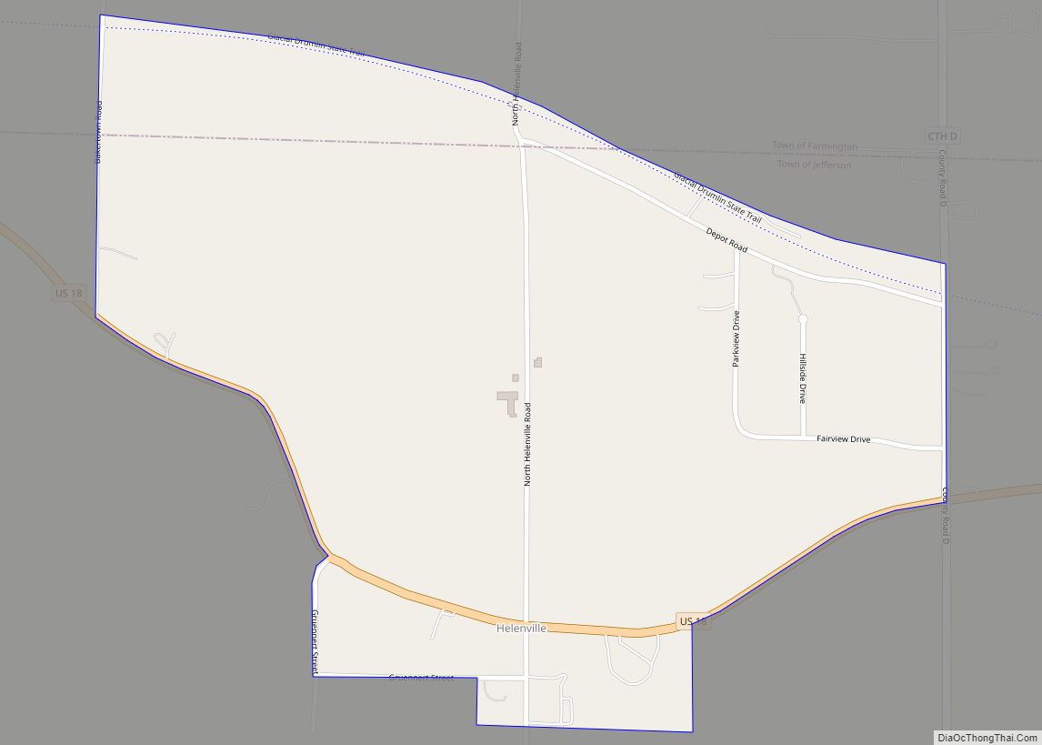
Map of Helenville CDP
Helenville is a census-designated place (CDP) in the town of Jefferson, Jefferson County, Wisconsin, United States. The population was 238 at the 2020 census. Helenville CDP overview: Name: Helenville CDP LSAD Code: 57 LSAD Description: CDP (suffix) State: Wisconsin County: Jefferson County Elevation: 843 ft (257 m) Total Area: 0.5 sq mi (1.3 km²) Land Area: 0.5 sq mi (1.3 km²) Water Area: ... Read more
Map of Helenville CDP