Greendale is a village in Milwaukee County, Wisconsin, United States. The population was 14,854 at the 2020 census. Greendale is located southwest of Milwaukee, Wisconsin, and is a part of the Milwaukee metropolitan area. A planned community, it was established by the United States government during the Great Depression.
| Name: | Greendale village |
|---|---|
| LSAD Code: | 47 |
| LSAD Description: | village (suffix) |
| State: | Wisconsin |
| County: | Milwaukee County |
| Elevation: | 738 ft (225 m) |
| Total Area: | 5.57 sq mi (14.44 km²) |
| Land Area: | 5.57 sq mi (14.41 km²) |
| Water Area: | 0.01 sq mi (0.02 km²) |
| Total Population: | 14,854 |
| Population Density: | 2,541.42/sq mi (981.16/km²) |
| ZIP code: | 53129 |
| Area code: | 414 |
| FIPS code: | 5531125 |
| GNISfeature ID: | 1565837 |
| Website: | www.greendale.org |
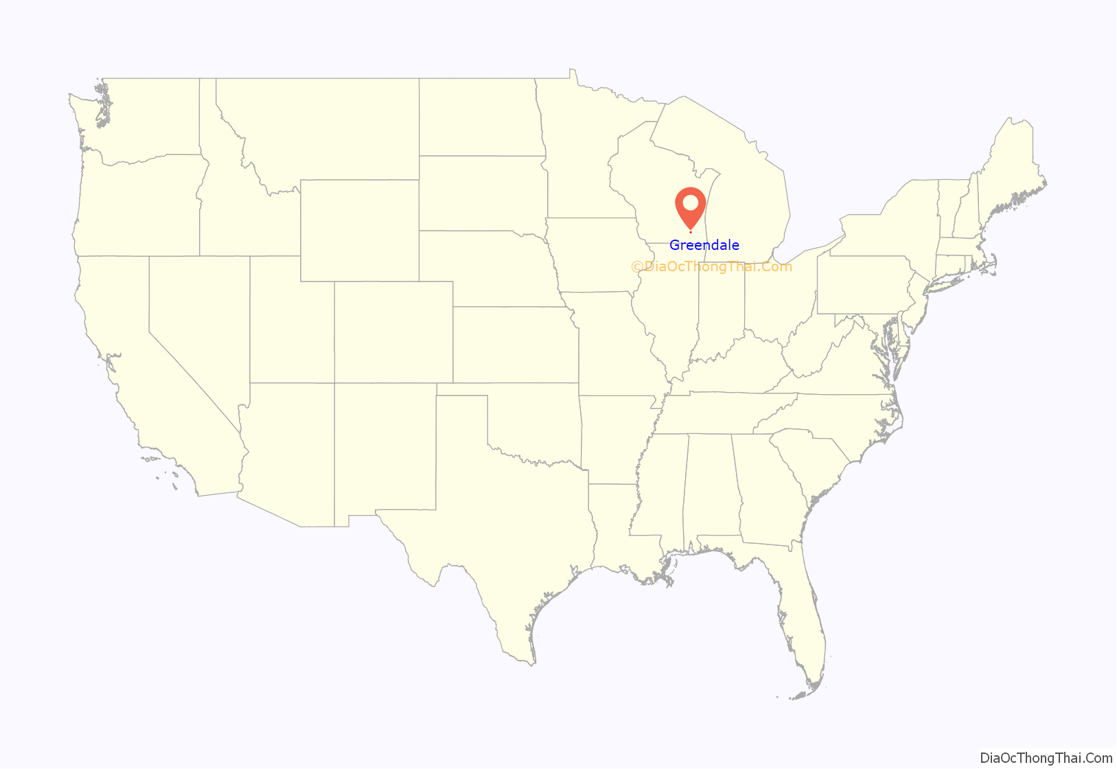
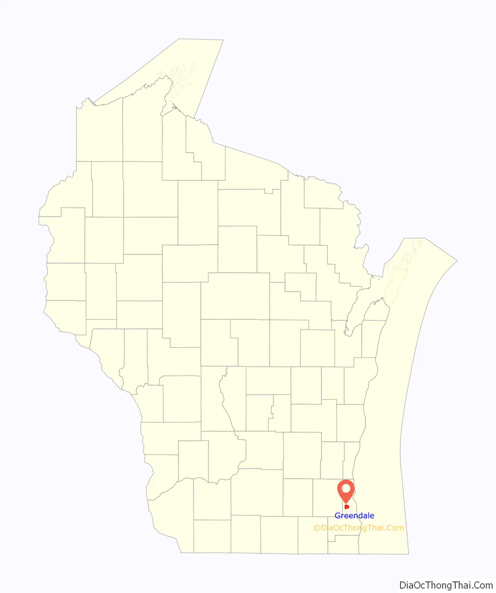
Online Interactive Map
Click on ![]() to view map in "full screen" mode.
to view map in "full screen" mode.
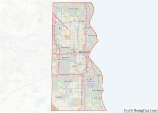
Greendale location map. Where is Greendale village?
History
Native American peoples
The first recorded inhabitants of the Greendale area were various Native American tribes, including the Potawatomi. The 1833 Treaty of Chicago struck an agreement between the United States government that required the Chippewa, Odawa, and Potawatomi tribes cede to the United States government their 5,000,000 acres, (2,000,000 ha). In exchange for ceding their lands in the area, they were to receive monetary payments and lands west of the Mississippi in Indian Territory.
1930s and beyond
Greendale was one of three government sponsored “Greenbelt” communities constructed by the Resettlement Administration, starting in 1936, as part of President Franklin Roosevelt’s New Deal. The other Greenbelt communities were Greenbelt, Maryland and Greenhills, Ohio. The Village of Greendale was incorporated on November 1, 1938. The planners and selection committees excluded African American families from renting homes and created a racially segregated and all-white suburban community.
The original downtown area included the Village Hall, built in a Colonial Williamsburg style, 366 new homes comprising 572 living units, and several businesses. These homes were often referred to as “Greendale Originals.” The Greenbelt communities were patterned after the British Garden city movement urban planning concept. The greenbelt communities were built to be walkable so residents could walk to schools, shops and parks. New Deal workers built Greendale as a model village for the working class. Income limits were from $1200 to $2700 per year, depending upon family size. In 1938, a one-bedroom Original rented for as little as $19 a month. Rent for a four-bedroom home was $46 a month. Over 200 of the “Originals” have unique artistic designs on the chimneys.
Federal ownership of Greendale ended in 1953. In the late 1950s Greendale experienced growth in conjunction with the expansion of the Milwaukee suburbs as a whole. While new homes were built and the number of minority families increased in Milwaukee County, racially restrictive covenants were used to maintain the all-white Greendale community. In 1958, the Crestview Acres land was sold by Elroy H. Barbian for development with the restrictive covenant that only white families could purchase the homes. “No Persons other than the white race shall own or occupy any building on said tract, but this covenant shall not prevent occupancy of persons of a race other than the white race who are domestic servants of the owner or occupant of said building.”
Southridge Mall opened in 1970 as the southern sister mall to Northridge Mall. Both malls were located on 76th Street, close to major east–west artery roads. Both were developed by Herb Kohl and Taubman Centers, Inc.
In 1996, the shopping district in the center of the village was purchased by the Grandhaven investment firm founded by Roy Reiman, founder of a publishing company headquartered in the village. The remake of the “Village Center” brought updates, attracted new restaurants, and made the village center more of a tourist attraction. More than 40,000 flowers are planted annually along the downtown streets, in hanging baskets, in sidewalk beds and storefront window boxes.
To ease managing more than 2,000 men during Greendale’s construction, workers were directed to the “A section”, the “D section”, etc. This alphabetical reference has endured. Still today, all streets in each section begin with the same letter — the A section includes Angle Lane, Apricot Court, etc.,
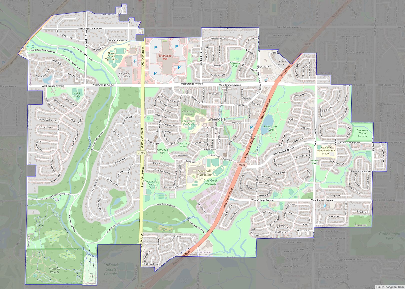
Greendale Road Map
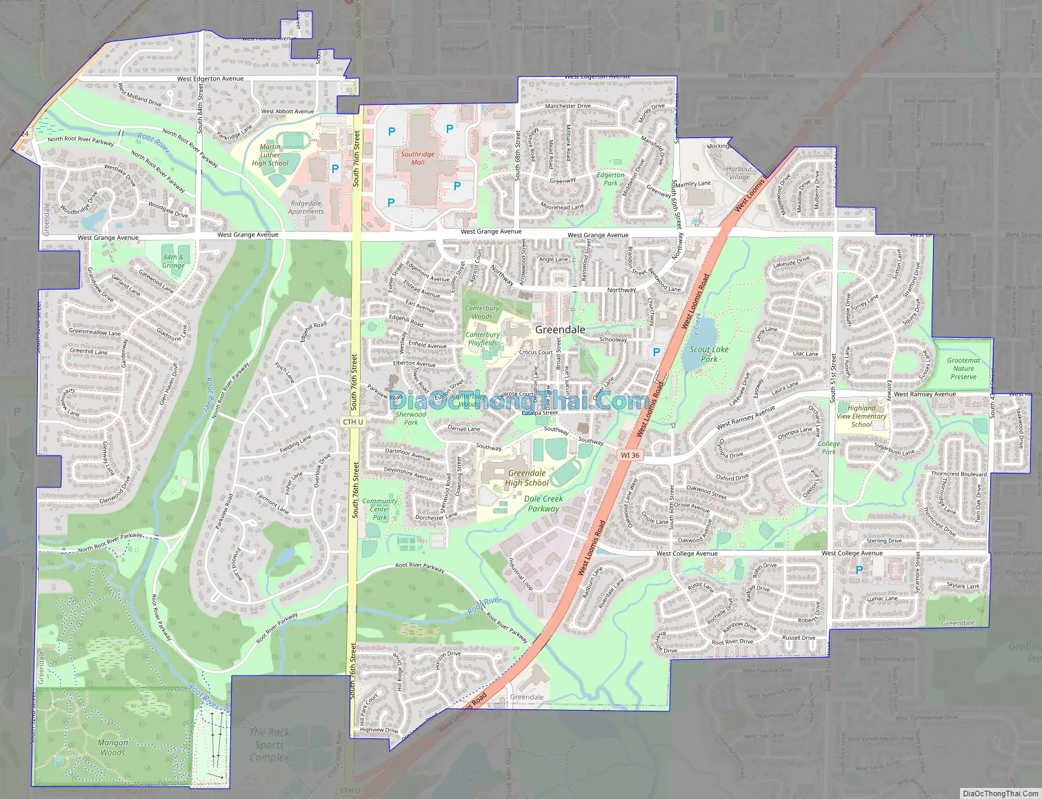
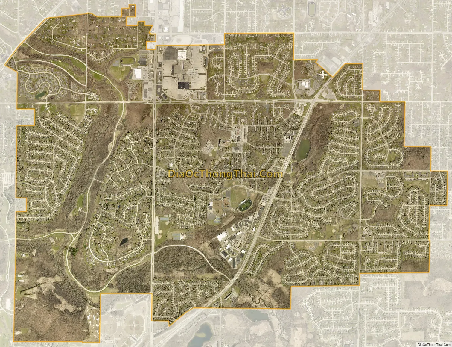
Greendale city Satellite Map
Geography
Greendale is located at 42°56′15″N 87°59′49″W / 42.937615°N 87.996884°W / 42.937615; -87.996884 (42.937615, −87.996884). The Root River flows through the western part of the village.
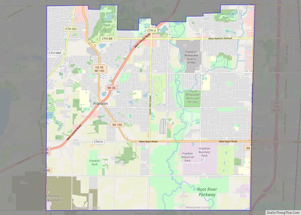
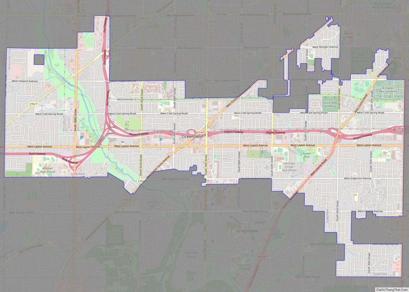
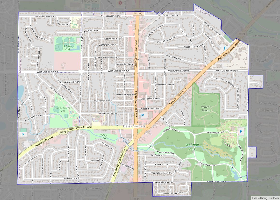
Greendale is bounded by the city of Greenfield to the north and east, the village of Hales Corners to the west, and the city of Franklin, Wisconsin to the south.[7]
According to the United States Census Bureau, the village has a total area of 5.57 square miles (14.43 km), of which, 5.56 square miles (14.40 km) of it is land and 0.01 square miles (0.03 km) is water.
Scout Lake is a 5-acre lake located in Greendale. It has a maximum depth of 19 feet. Fish include panfish, largemouth bass and northern pike.
See also
Map of Wisconsin State and its subdivision:- Adams
- Ashland
- Barron
- Bayfield
- Brown
- Buffalo
- Burnett
- Calumet
- Chippewa
- Clark
- Columbia
- Crawford
- Dane
- Dodge
- Door
- Douglas
- Dunn
- Eau Claire
- Florence
- Fond du Lac
- Forest
- Grant
- Green
- Green Lake
- Iowa
- Iron
- Jackson
- Jefferson
- Juneau
- Kenosha
- Kewaunee
- La Crosse
- Lafayette
- Lake Michigan
- Lake Superior
- Langlade
- Lincoln
- Manitowoc
- Marathon
- Marinette
- Marquette
- Menominee
- Milwaukee
- Monroe
- Oconto
- Oneida
- Outagamie
- Ozaukee
- Pepin
- Pierce
- Polk
- Portage
- Price
- Racine
- Richland
- Rock
- Rusk
- Saint Croix
- Sauk
- Sawyer
- Shawano
- Sheboygan
- Taylor
- Trempealeau
- Vernon
- Vilas
- Walworth
- Washburn
- Washington
- Waukesha
- Waupaca
- Waushara
- Winnebago
- Wood
- Alabama
- Alaska
- Arizona
- Arkansas
- California
- Colorado
- Connecticut
- Delaware
- District of Columbia
- Florida
- Georgia
- Hawaii
- Idaho
- Illinois
- Indiana
- Iowa
- Kansas
- Kentucky
- Louisiana
- Maine
- Maryland
- Massachusetts
- Michigan
- Minnesota
- Mississippi
- Missouri
- Montana
- Nebraska
- Nevada
- New Hampshire
- New Jersey
- New Mexico
- New York
- North Carolina
- North Dakota
- Ohio
- Oklahoma
- Oregon
- Pennsylvania
- Rhode Island
- South Carolina
- South Dakota
- Tennessee
- Texas
- Utah
- Vermont
- Virginia
- Washington
- West Virginia
- Wisconsin
- Wyoming