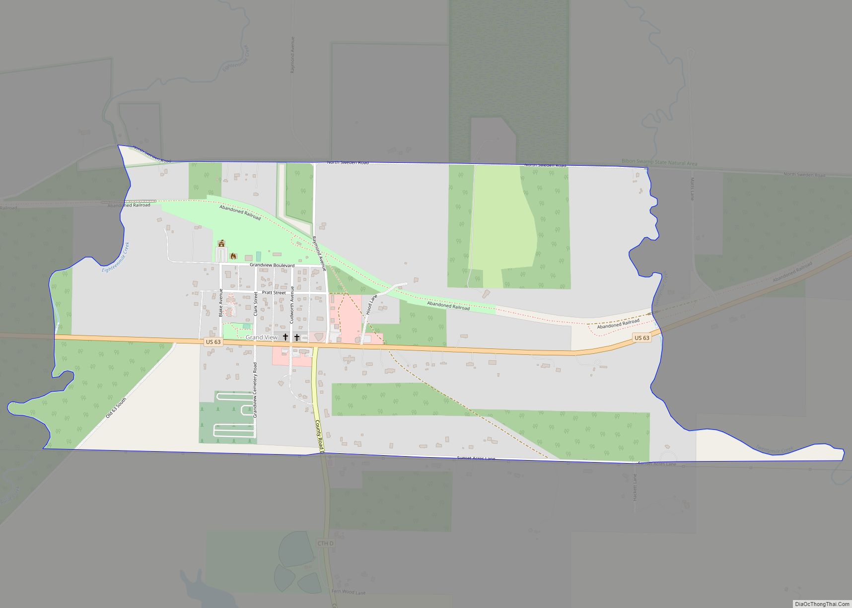
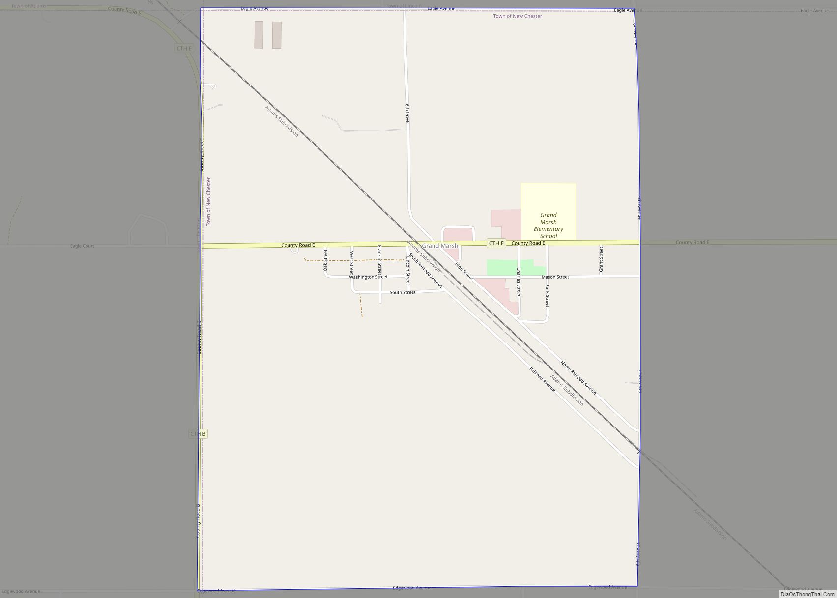
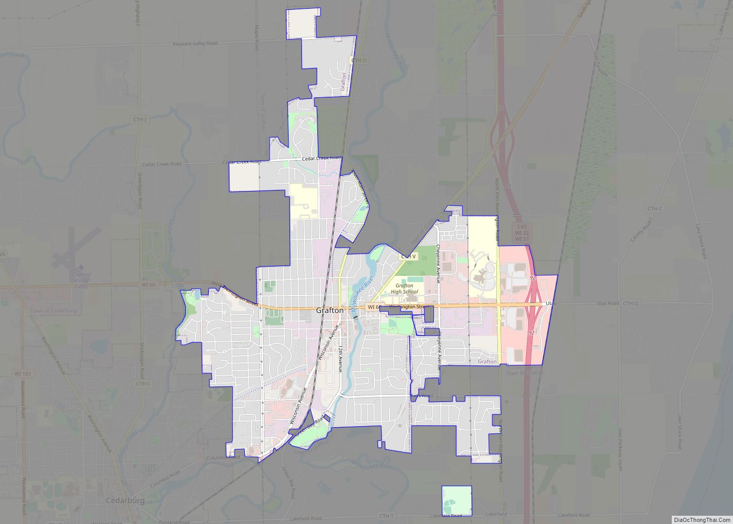
Map of Gays Mills village
Gays Mills is a village in Crawford County, Wisconsin, United States. The population was 491 at the 2010 census. Gays Mills village overview: Name: Gays Mills village LSAD Code: 47 LSAD Description: village (suffix) State: Wisconsin County: Crawford County Elevation: 702 ft (214 m) Total Area: 4.90 sq mi (12.69 km²) Land Area: 4.87 sq mi (12.62 km²) Water Area: 0.03 sq mi (0.07 km²) Total ... Read more
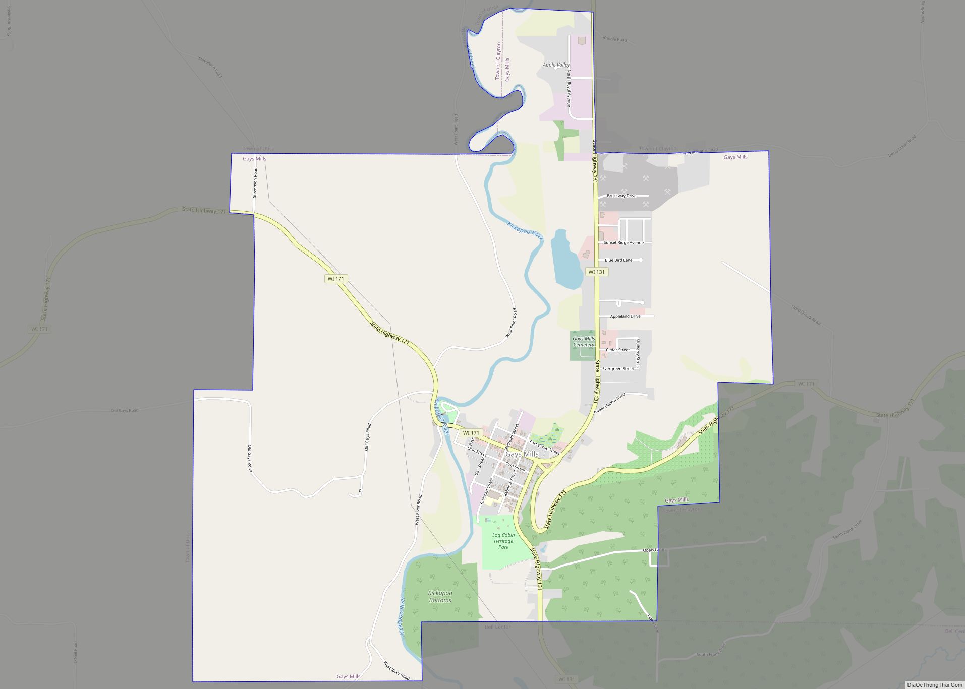
Map of Gays Mills village
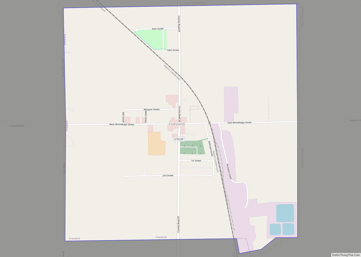
Map of Friesland village
Friesland is a village in Columbia County, Wisconsin, United States. The population was 320 at the 2020 census. It is part of the Madison Metropolitan Statistical Area. Friesland village overview: Name: Friesland village LSAD Code: 47 LSAD Description: village (suffix) State: Wisconsin County: Columbia County Elevation: 1,007 ft (307 m) Total Area: 1.01 sq mi (2.62 km²) Land Area: 1.00 sq mi ... Read more
Map of Friesland village
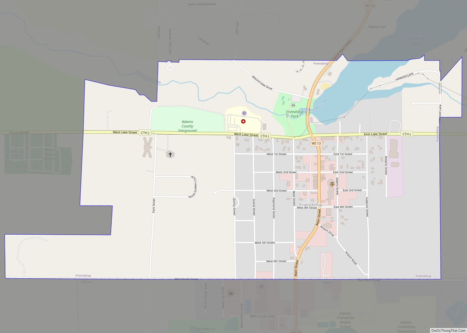
Map of Friendship village, Wisconsin
Friendship is a village in Adams County in the U.S. state of Wisconsin. It is the county seat of Adams County. The population was 725 at the 2010 census. Friendship village overview: Name: Friendship village LSAD Code: 47 LSAD Description: village (suffix) State: Wisconsin County: Adams County Elevation: 955 ft (291 m) Total Area: 0.94 sq mi (2.45 km²) Land ... Read more
Map of Friendship village, Wisconsin
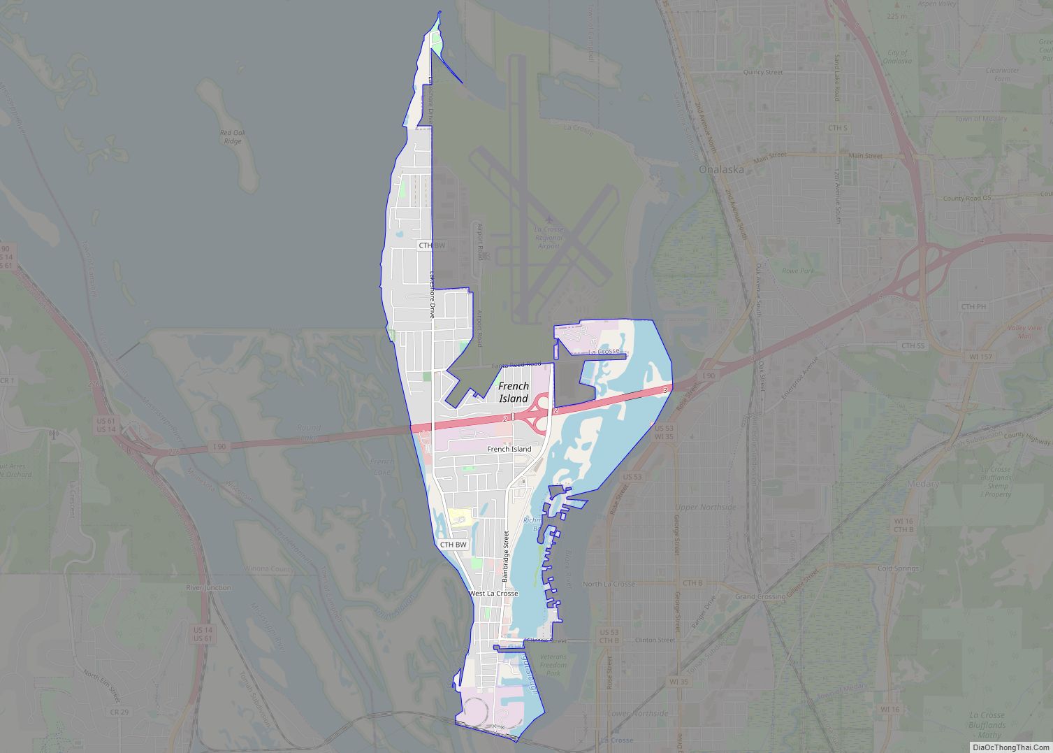
Map of French Island CDP
French Island is a census-designated place (CDP) in La Crosse County, Wisconsin, United States. The population was 4,207 at the 2010 census. It lies on an island of the same name, though they are not coextensive; a portion of the island is part of the city of La Crosse. All of the island is part ... Read more
Map of French Island CDP
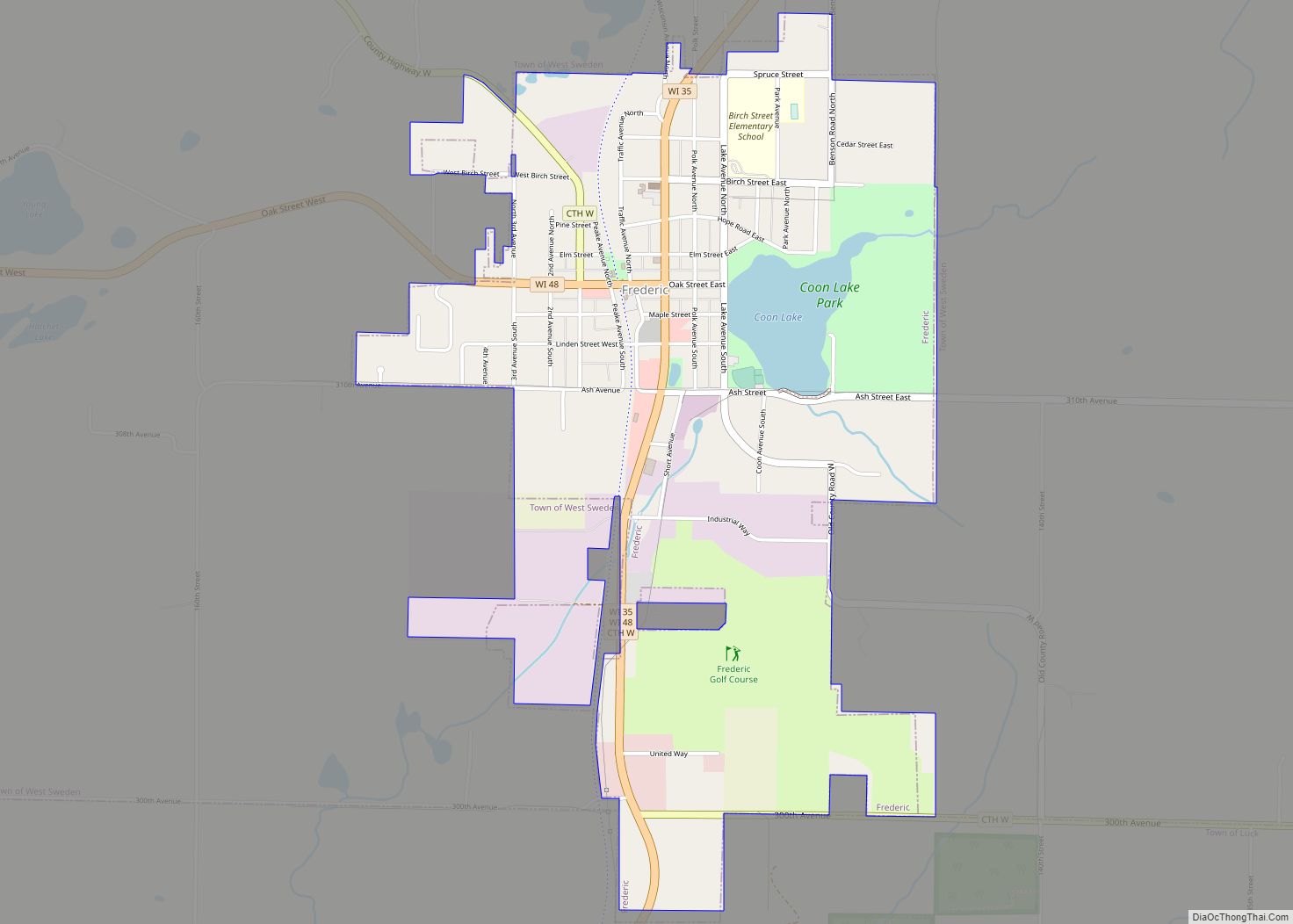
Map of Frederic village
Frederic is a village in Polk County, Wisconsin, United States. The population was 1,137 at the 2010 census. Frederic village overview: Name: Frederic village LSAD Code: 47 LSAD Description: village (suffix) State: Wisconsin County: Polk County Elevation: 1,214 ft (370 m) Total Area: 1.76 sq mi (4.56 km²) Land Area: 1.69 sq mi (4.38 km²) Water Area: 0.07 sq mi (0.18 km²) Total Population: 1,137 Population ... Read more
Map of Frederic village
Map of Franks Field CDP
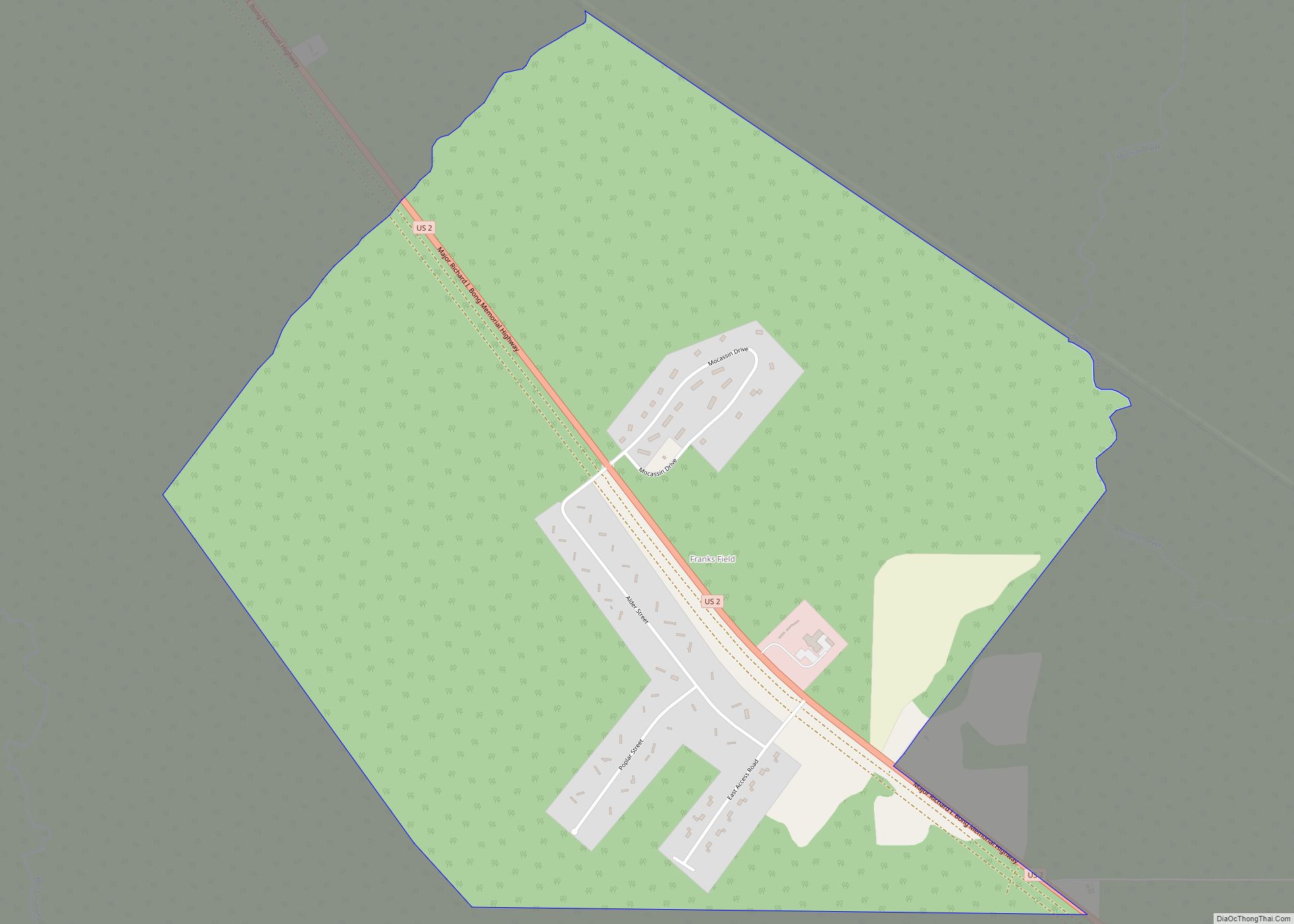
Franks Field is a census-designated place in the town of Sanborn, Ashland County, Wisconsin, United States. Its population was 154 as of the 2010 census. Franks Field is located on the Bad River Indian Reservation. Franks Field CDP overview: Name: Franks Field CDP LSAD Code: 57 LSAD Description: CDP (suffix) State: Wisconsin County: Ashland County ... Read more
Map of Franks Field CDP
Map of Gratiot village, Wisconsin
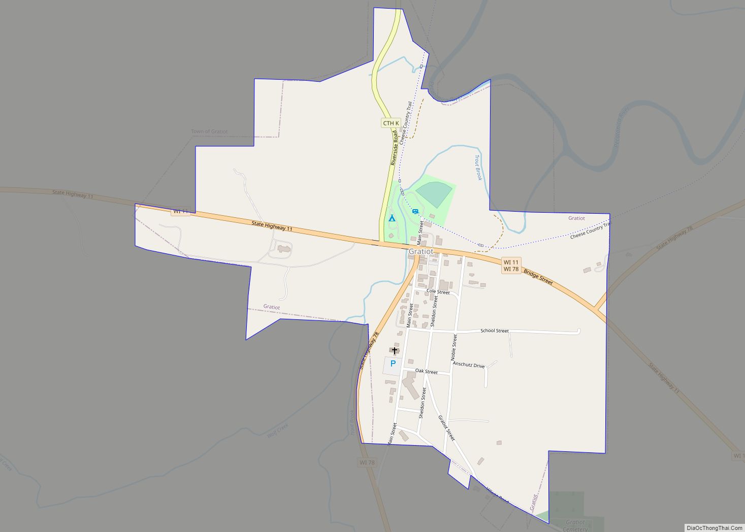
Gratiot (/ˈɡrætʃɪt/) is a town in Lafayette County, Wisconsin, United States. The population was 550 at the 2010 census, down from 653 at the 2000 census. The village of Gratiot is located within the town. The unincorporated community of Riverside and part of the unincorporated community of Dunbarton are also in the town. Gratiot village ... Read more
Map of Gratiot village, Wisconsin
Map of Grantsburg village
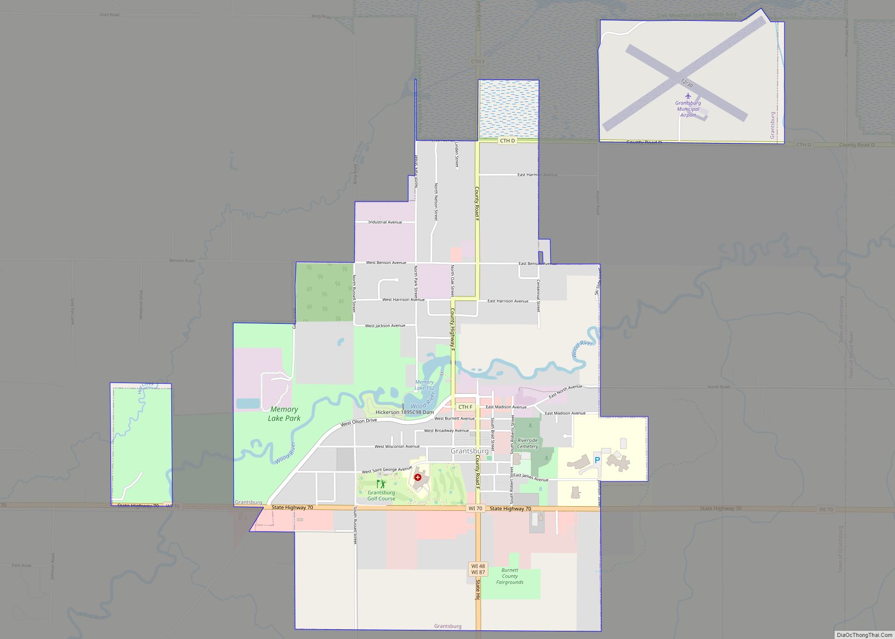
Grantsburg is a town in Burnett County in the U.S. state of Wisconsin. The population was 1,136 at the 2010 census. The village of Grantsburg is located within the town. The unincorporated communities of Branstad and Lind are located in the town. Grantsburg village overview: Name: Grantsburg village LSAD Code: 47 LSAD Description: village (suffix) ... Read more
Map of Grantsburg village
Map of Granton village
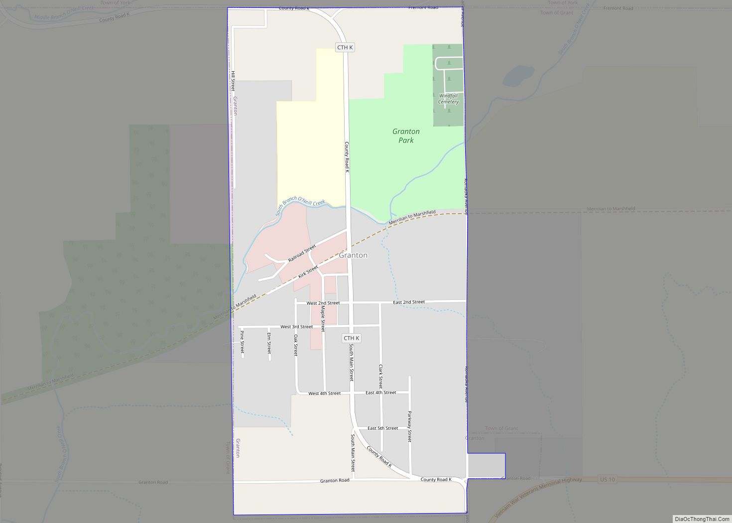
Granton is a village in Clark County in the U.S. state of Wisconsin. The population was 355 at the 2010 census. Granton village overview: Name: Granton village LSAD Code: 47 LSAD Description: village (suffix) State: Wisconsin County: Clark County Elevation: 1,119 ft (341 m) Total Area: 0.55 sq mi (1.42 km²) Land Area: 0.55 sq mi (1.41 km²) Water Area: 0.00 sq mi (0.01 km²) Total ... Read more
Map of Granton village
Map of Grand View CDP, Wisconsin
Grand View (also Grandview, Pratt) is an unincorporated, census-designated place located in the town of Grandview, Bayfield County, Wisconsin, United States. U.S. Highway 63 serves as a main route in the community. Grand View is located 23 miles southwest of the city of Ashland; and 34 miles northeast of the city of Hayward. Grand View ... Read more
Map of Grand View CDP, Wisconsin
Map of Grand Marsh CDP
Grand Marsh is an unincorporated census-designated place located in Adams County, Wisconsin, United States. The community is southeast of Adams, in the town of New Chester. Grand Marsh has a post office with ZIP code 53936, which opened in 1850. As of the 2010 census, its population is 127. The community took its name from ... Read more
Map of Grand Marsh CDP
Map of Grafton village, Wisconsin
The Town of Grafton is a town located in Ozaukee County, Wisconsin, United States, and is in the Milwaukee metropolitan area. The town was created in 1846 and at the time of the 2020 Census had a population of 4,157. Grafton is located on the western shore of Lake Michigan. German and Irish immigrants first ... Read more
Map of Grafton village, Wisconsin