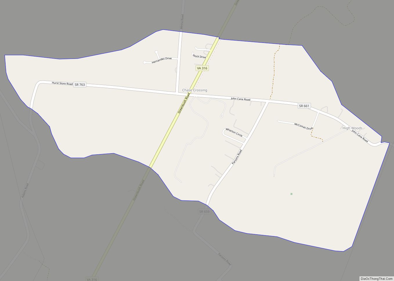
Chase Crossing CDP overview: Name: Chase Crossing CDP LSAD Code: 57 LSAD Description: CDP (suffix) State: Virginia County: Accomack County FIPS code: 5114995 Online Interactive Map Chase Crossing online map. Source: Basemap layers from Google Map, Open Street Map (OSM), Arcgisonline, Wmflabs. Boundary Data from Database of Global Administrative Areas. Chase Crossing location map. Where ... Read more
Map of US Cities and Places
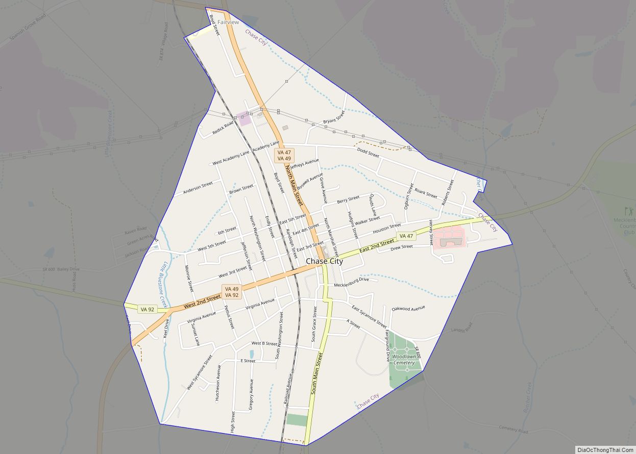
Chase City is a town in Mecklenburg County, Virginia, United States. Chase City was incorporated in 1873 and named for Salmon P. Chase, United States Chief Justice and Lincoln’s Secretary of the Treasury. The population was 2,351 at the 2010 census. Tobacco and other crops are grown nearby. Chase City town overview: Name: Chase City ... Read more
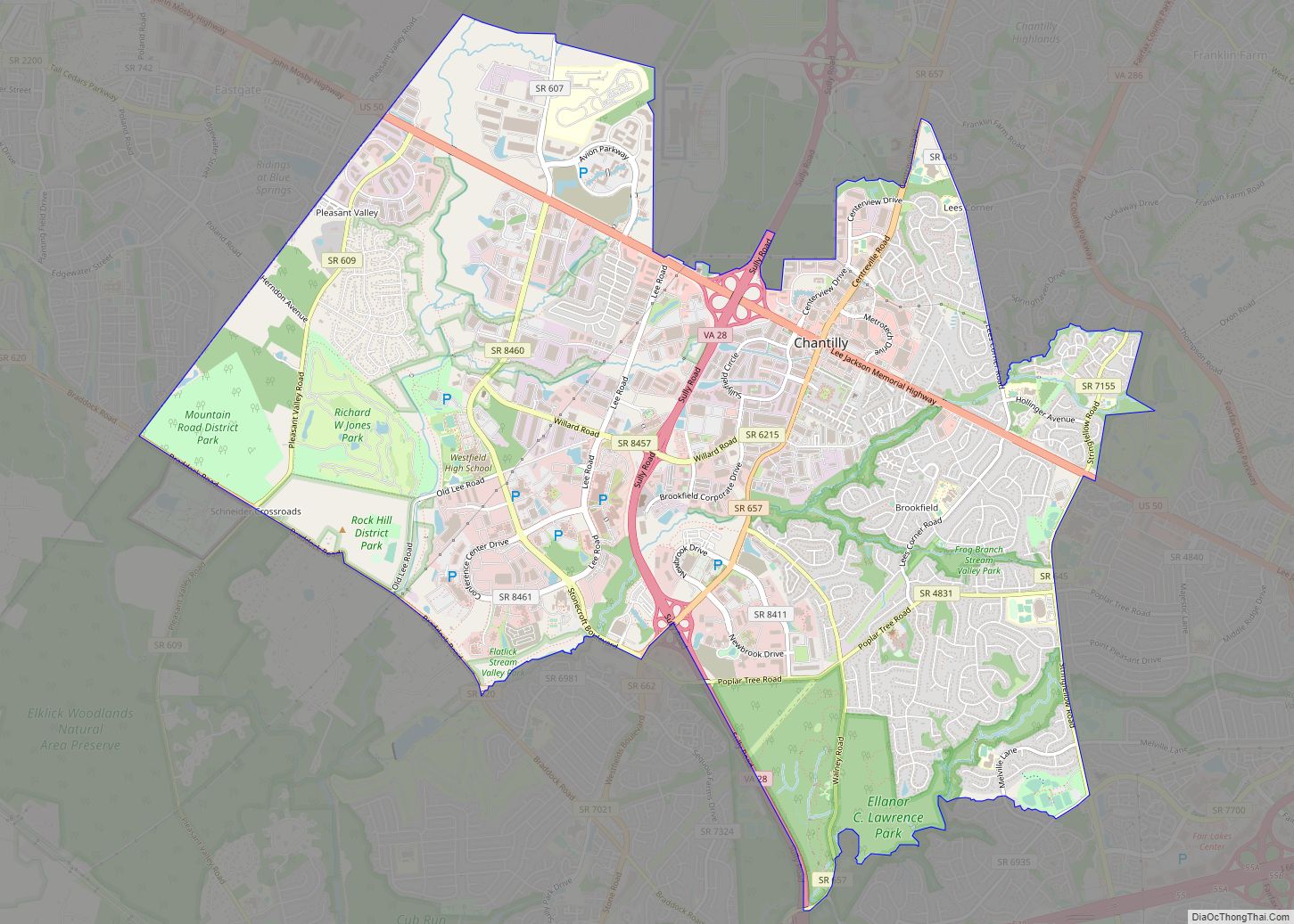
Chantilly is a census-designated place (CDP) in western Fairfax County, Virginia. The population was 24,301 as of the 2020 census. Chantilly is named after an early-19th-century mansion and farm, which in turn took the name of an 18th-century plantation that was located in Westmoreland County, Virginia. The name “Chantilly” originated in France with the Château ... Read more
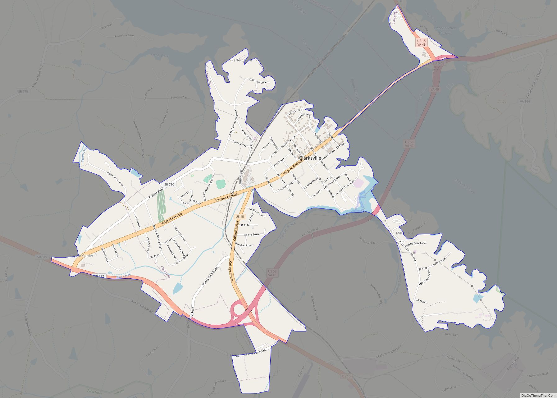
Clarksville is a town in Mecklenburg county in the U.S. state of Virginia, near the southern border of the commonwealth. The population was 1,139 at the 2010 census. Since the town has numerous buildings of the 18th-, 19th-, and early 20th-century architecture, the downtown area of Clarksville has been designated a Historic District on the ... Read more
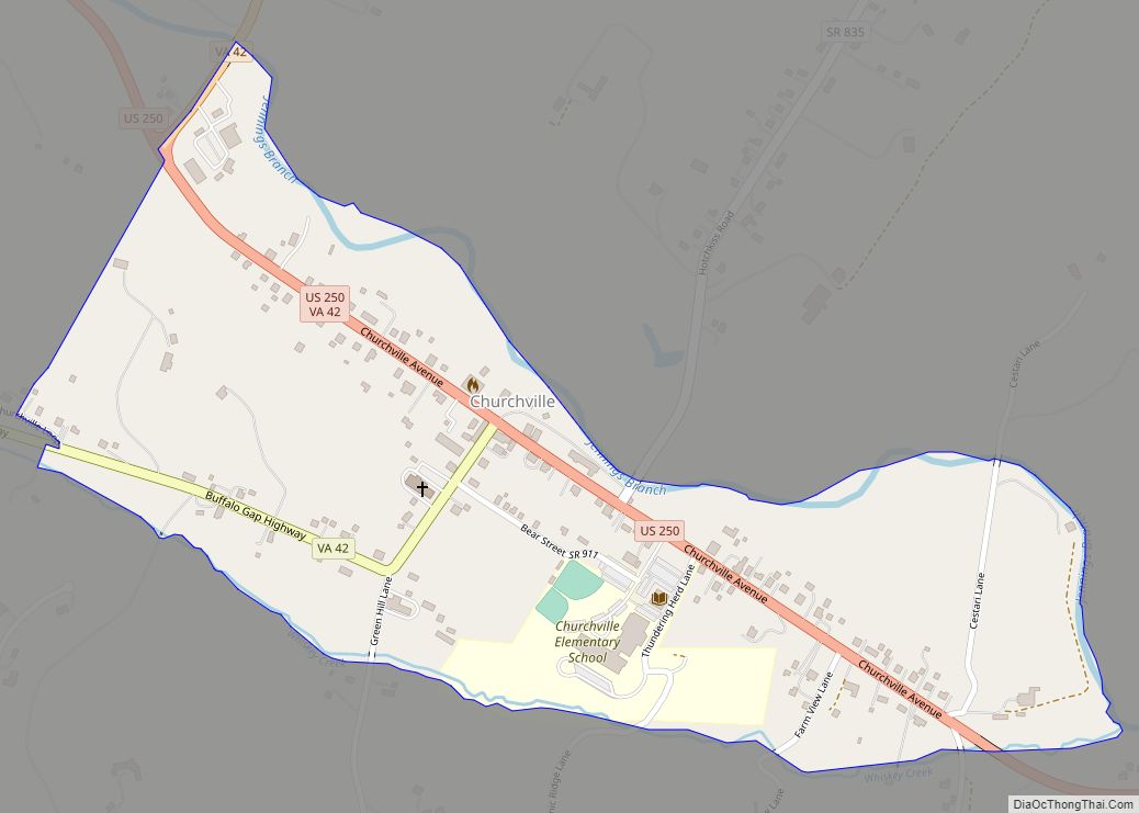
Churchville CDP overview: Name: Churchville CDP LSAD Code: 57 LSAD Description: CDP (suffix) State: Virginia County: Augusta County FIPS code: 5116736 Online Interactive Map Churchville online map. Source: Basemap layers from Google Map, Open Street Map (OSM), Arcgisonline, Wmflabs. Boundary Data from Database of Global Administrative Areas. Churchville location map. Where is Churchville CDP? Churchville ... Read more
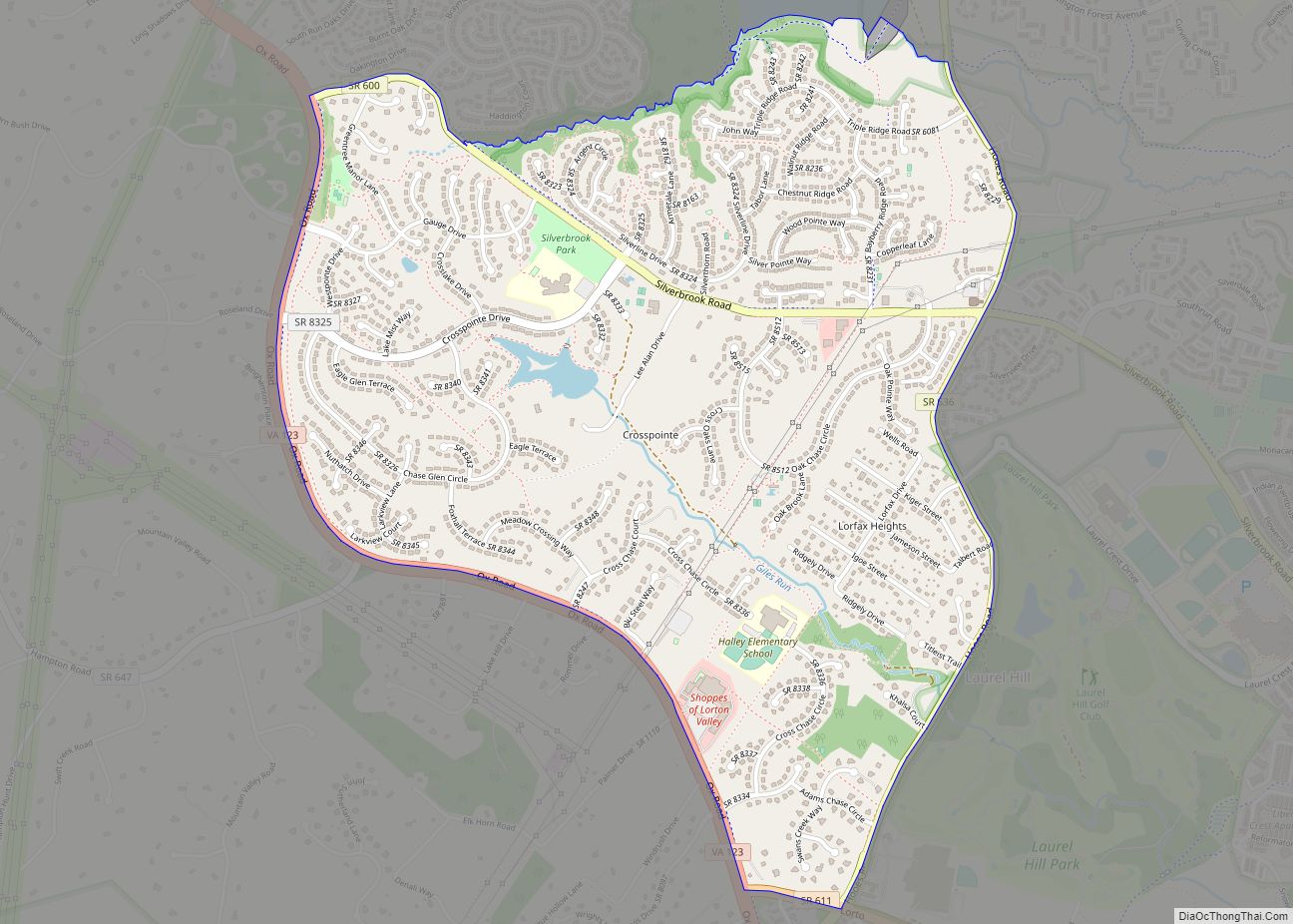
Crosspointe is a census-designated place in Fairfax County, Virginia, United States. The population as of the 2020 census was 5,722. Crosspointe CDP overview: Name: Crosspointe CDP LSAD Code: 57 LSAD Description: CDP (suffix) State: Virginia County: Fairfax County Founded: May 17, 1983 Elevation: 300 ft (90 m) Total Area: 2.22 sq mi (5.75 km²) Land Area: 2.20 sq mi (5.70 km²) Water Area: ... Read more
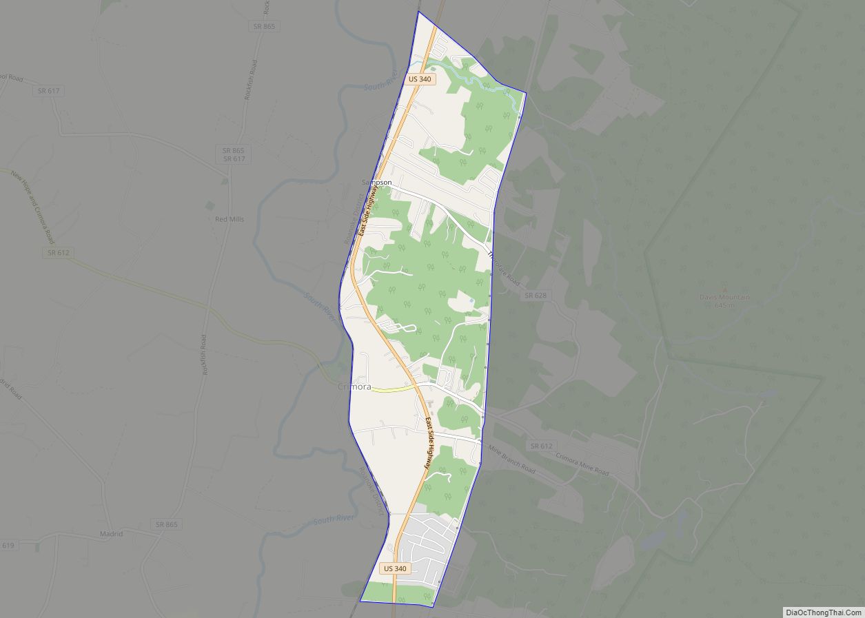
Crimora CDP overview: Name: Crimora CDP LSAD Code: 57 LSAD Description: CDP (suffix) State: Virginia County: Augusta County FIPS code: 5120240 Online Interactive Map Crimora online map. Source: Basemap layers from Google Map, Open Street Map (OSM), Arcgisonline, Wmflabs. Boundary Data from Database of Global Administrative Areas. Crimora location map. Where is Crimora CDP? Crimora ... Read more
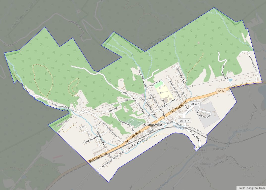
Craigsville is a town in Augusta County, Virginia, United States. The population was 923 at the 2010 census. It is part of the Staunton–Waynesboro Micropolitan Statistical Area. Craigsville town overview: Name: Craigsville town LSAD Code: 43 LSAD Description: town (suffix) State: Virginia County: Augusta County Elevation: 1,529 ft (466 m) Total Area: 2.07 sq mi (5.35 km²) Land Area: 2.07 sq mi ... Read more
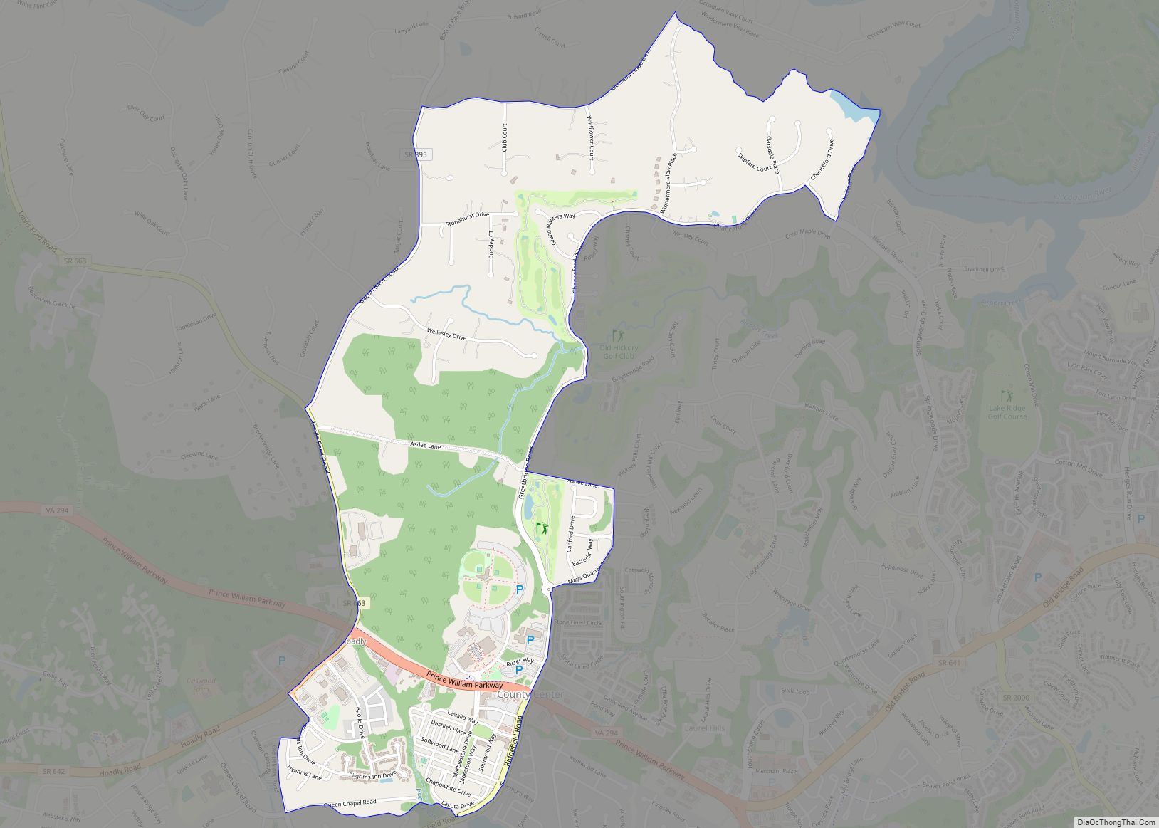
County Center CDP overview: Name: County Center CDP LSAD Code: 57 LSAD Description: CDP (suffix) State: Virginia County: Prince William County FIPS code: 5119571 Online Interactive Map County Center online map. Source: Basemap layers from Google Map, Open Street Map (OSM), Arcgisonline, Wmflabs. Boundary Data from Database of Global Administrative Areas. County Center location map. ... Read more
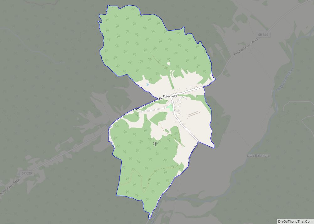
Deerfield CDP overview: Name: Deerfield CDP LSAD Code: 57 LSAD Description: CDP (suffix) State: Virginia County: Augusta County FIPS code: 5121872 Online Interactive Map Deerfield online map. Source: Basemap layers from Google Map, Open Street Map (OSM), Arcgisonline, Wmflabs. Boundary Data from Database of Global Administrative Areas. Deerfield location map. Where is Deerfield CDP? Deerfield ... Read more
Dayton is a town in Rockingham County, Virginia, United States. The population is 1,530 as of the 2010 census. It is included in the Harrisonburg, Virginia Metropolitan Statistical Area. Dayton town overview: Name: Dayton town LSAD Code: 43 LSAD Description: town (suffix) State: Virginia County: Rockingham County Incorporated: 1879 Elevation: 1,204 ft (367 m) Total Area: 1.03 sq mi ... Read more
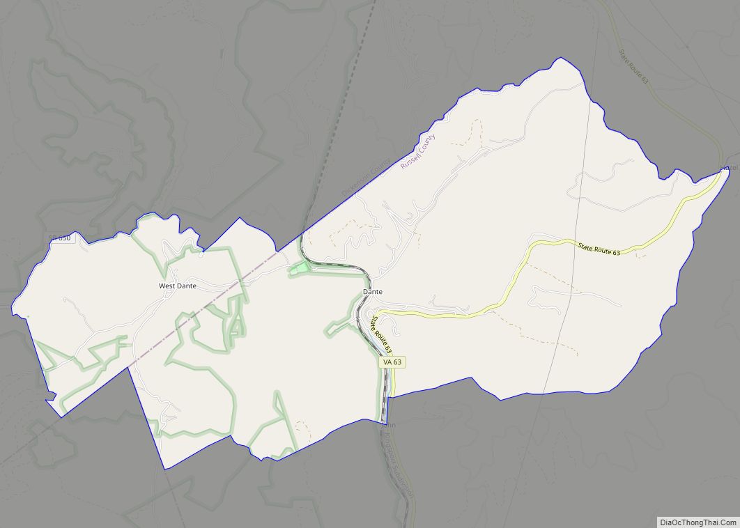
Dante is a census-designated place in Russell and Dickenson counties, Virginia, in the United States. The population as of the 2010 Census was 649. Dante CDP overview: Name: Dante CDP LSAD Code: 57 LSAD Description: CDP (suffix) State: Virginia County: Dickenson County, Russell County Elevation: 1,765 ft (538 m) Total Area: 7.02 sq mi (18.17 km²) Land Area: 7.01 sq mi (18.15 km²) ... Read more
