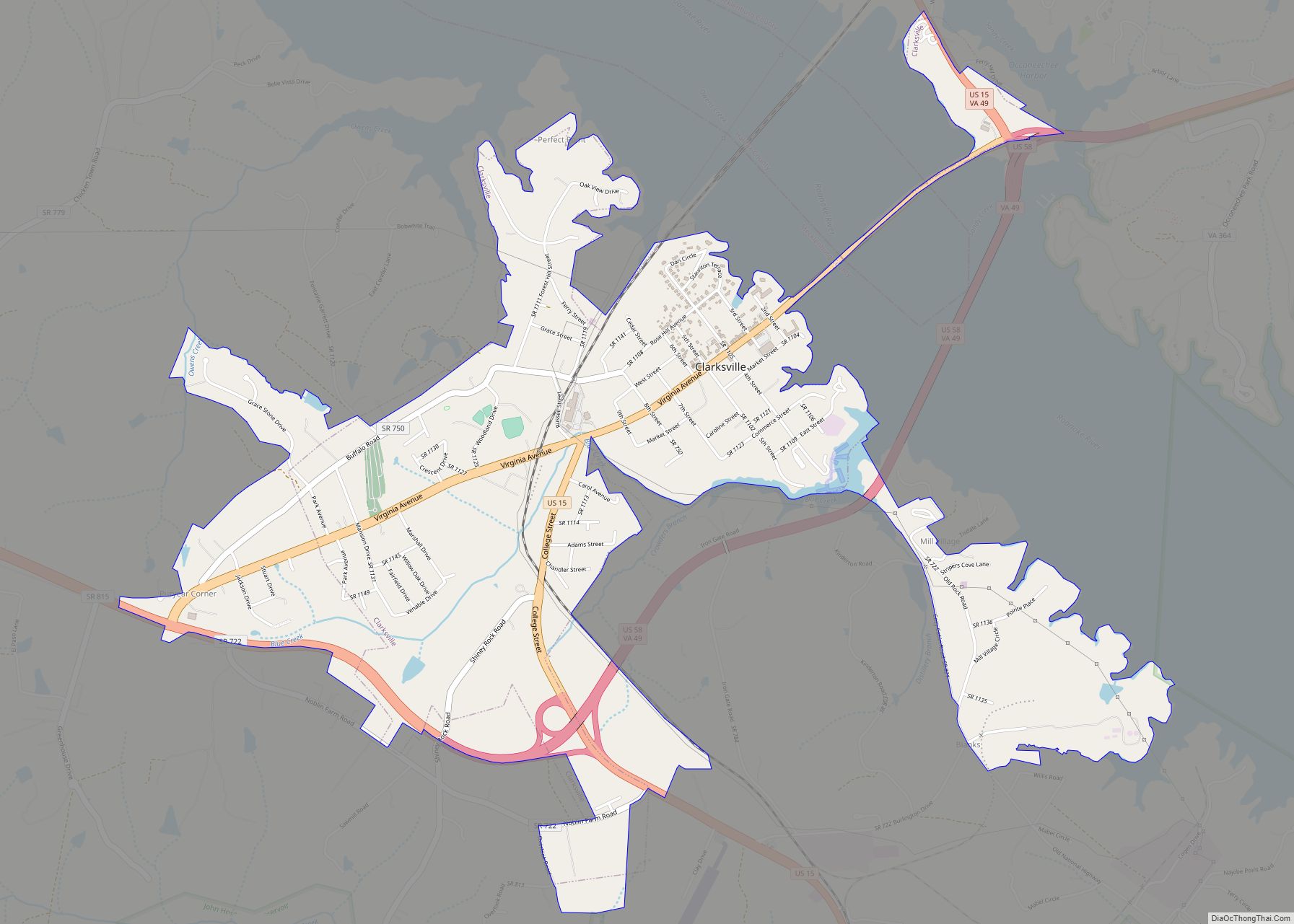
Clarksville is a town in Mecklenburg county in the U.S. state of Virginia, near the southern border of the commonwealth. The population was 1,139 at the 2010 census. Since the town has numerous buildings of the 18th-, 19th-, and early 20th-century architecture, the downtown area of Clarksville has been designated a Historic District on the National Register of Historic Places and Virginia’s Historic Register. Clarksville claims the title of Virginia’s only Lakeside town. Nearby the town of Clarksville is Occoneechee State Park.
The town is located on Kerr Lake, which is also known as Buggs Island Lake. The 50,000-acre (202 km) lake is popular for boating and fishing; especially for catfish and many varieties of freshwater bass including largemouth bass, striped bass and crappie.
The Virginia Lake Festival is held annually at Clarksville during the third weekend of July. The town often attracts approximately 80,000 visitors during this three-day event, formerly and colloquially known as “Lakefest”. It culminates with a fireworks show on the lake.
The festival has been named among the “Top Twenty Festivals In The Southeast” by the Southeast Tourism Society for many years.
| Name: | Clarksville town |
|---|---|
| LSAD Code: | 43 |
| LSAD Description: | town (suffix) |
| State: | Virginia |
| County: | Halifax County, Mecklenburg County |
| Incorporated: | February 20, 1821(202 years ago) (1821-02-20) |
| Elevation: | 361 ft (110 m) |
| Total Area: | 2.95 sq mi (7.64 km²) |
| Land Area: | 2.91 sq mi (7.54 km²) |
| Water Area: | 0.04 sq mi (0.10 km²) |
| Total Population: | 1,139 |
| Population Density: | 400.55/sq mi (154.67/km²) |
| ZIP code: | 23927 |
| Area code: | 434 |
| FIPS code: | 5116992 |
| GNISfeature ID: | 1492773 |
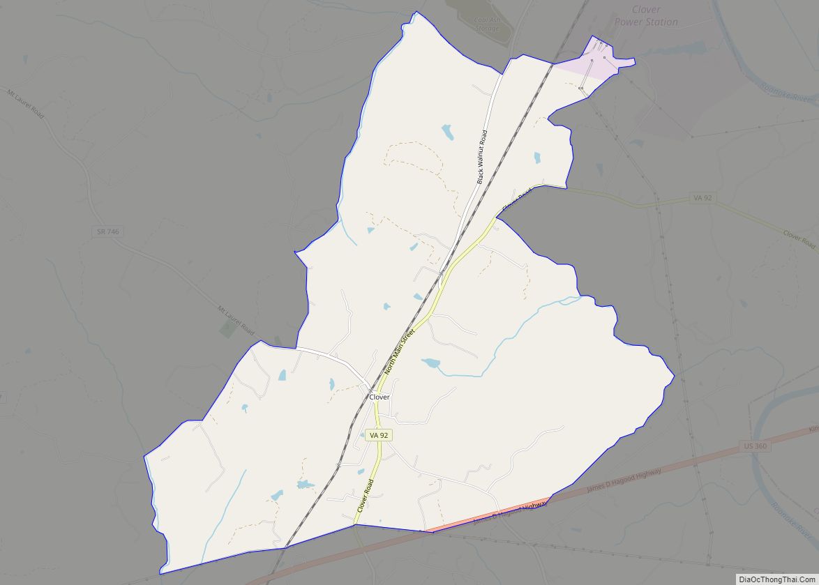
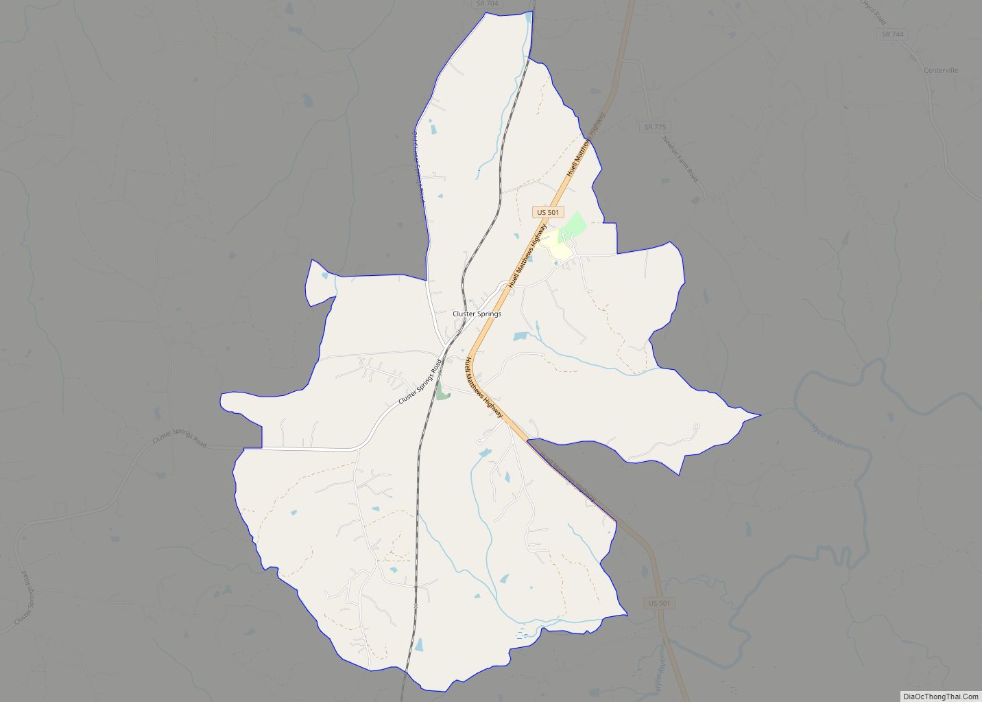
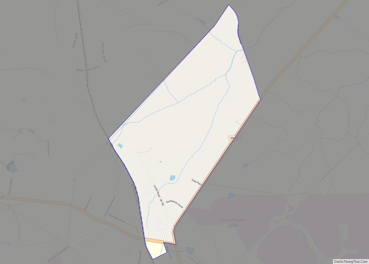
Online Interactive Map
Click on ![]() to view map in "full screen" mode.
to view map in "full screen" mode.
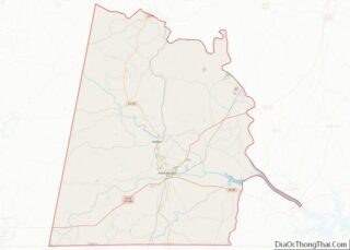
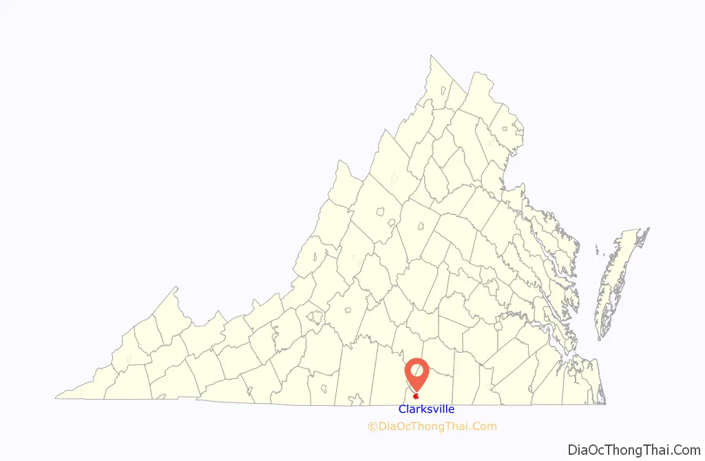
Clarksville location map. Where is Clarksville town?

History
Located along the Roanoke River, these lands were for centuries the home to the Occaneechi Native Americans. They controlled the junction of several trading paths in the area. The Eno-Occoneechee tribe are directly descendants of the original Occoneechees and currently reside in nearby Vance County, North Carolina.
Clarksville was the first incorporated town in the county of Mecklenburg. In 1818, the town was named after its founder, Clark Royster. Settlers populated the area quickly because of the temperate climate and the fine tobacco soil.
By 1832, Clarksville was recognized as one of the fastest-growing towns in Virginia. The Clarksville Tobacco Market was so large and important that the Roanoke Navigation Company was formed to transport the crop by way of the Roanoke River to Petersburg, a major export town, and other areas. A plank road was built from Clarksville to Petersburg (distance of 80 miles (130 km) for overland transport. In years to follow, the Roanoke Valley Railroad was built from Clarksville to Manson, North Carolina.
By 1848, Clarksville was known as a major market for leaf tobacco and a tobacco-manufacturing center. Large shipments of tobacco were exported to Europe. In 1860, R. H. Moss and Brothers Factory in Clarksville was producing more manufactured tobacco than any other establishment in Virginia or the Carolinas. To date, Clarksville proudly claims the title of the oldest continuous tobacco market in the world.
The Clarksville Historic District, Cedar Grove, Prestwould, Clark Royster House, Sunnyside, Patrick Robert Sydnor Log Cabin, and Judge Henry Wood, Jr. House are listed on the National Register of Historic Places.
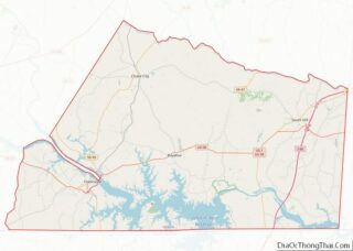
Clarksville Road Map

Clarksville city Satellite Map

Geography
Clarksville is located at 36°37′20″N 78°33′44″W / 36.62222°N 78.56222°W / 36.62222; -78.56222 (36.622171, -78.562230).
According to the United States Census Bureau, the town has a total area of 2.0 square miles (5.2 km), of which 2.0 square miles (5.1 km) is land and 0.04 square mile (0.1 km) (1.49%) is water.
Clarksville is located roughly 60 miles north of Raleigh, North Carolina and roughly 90 miles southwest of Richmond.
See also
Map of Virginia State and its subdivision:- Accomack
- Albemarle
- Alexandria
- Alleghany
- Amelia
- Amherst
- Appomattox
- Arlington
- Augusta
- Bath
- Bedford
- Bedford City
- Bland
- Botetourt
- Bristol
- Brunswick
- Buchanan
- Buckingham
- Buena Vista
- Campbell
- Caroline
- Carroll
- Charles City
- Charlotte
- Charlottesville
- Chesapeake
- Chesterfield
- Clarke
- Clifton Forge City
- Colonial Heights
- Covington
- Craig
- Culpeper
- Cumberland
- Danville
- Dickenson
- Dinwiddie
- Emporia
- Essex
- Fairfax
- Fairfax City
- Falls Church
- Fauquier
- Floyd
- Fluvanna
- Franklin
- Frederick
- Fredericksburg
- Galax
- Giles
- Gloucester
- Goochland
- Grayson
- Greene
- Greensville
- Halifax
- Hampton
- Hanover
- Harrisonburg
- Henrico
- Henry
- Highland
- Hopewell
- Isle of Wight
- James City
- King and Queen
- King George
- King William
- Lancaster
- Lee
- Lexington
- Loudoun
- Louisa
- Lunenburg
- Lynchburg
- Madison
- Manassas
- Manassas Park
- Martinsville
- Mathews
- Mecklenburg
- Middlesex
- Montgomery
- Nelson
- New Kent
- Newport News
- Norfolk
- Northampton
- Northumberland
- Norton
- Nottoway
- Orange
- Page
- Patrick
- Petersburg
- Pittsylvania
- Poquoson
- Portsmouth
- Powhatan
- Prince Edward
- Prince George
- Prince William
- Pulaski
- Radford
- Rappahannock
- Richmond
- Roanoke
- Roanoke City
- Rockbridge
- Rockingham
- Russell
- Salem
- Scott
- Shenandoah
- Smyth
- Southampton
- Spotsylvania
- Stafford
- Staunton
- Suffolk
- Surry
- Sussex
- Tazewell
- Virginia Beach
- Warren
- Washington
- Waynesboro
- Westmoreland
- Williamsburg
- Winchester
- Wise
- Wythe
- York
- Alabama
- Alaska
- Arizona
- Arkansas
- California
- Colorado
- Connecticut
- Delaware
- District of Columbia
- Florida
- Georgia
- Hawaii
- Idaho
- Illinois
- Indiana
- Iowa
- Kansas
- Kentucky
- Louisiana
- Maine
- Maryland
- Massachusetts
- Michigan
- Minnesota
- Mississippi
- Missouri
- Montana
- Nebraska
- Nevada
- New Hampshire
- New Jersey
- New Mexico
- New York
- North Carolina
- North Dakota
- Ohio
- Oklahoma
- Oregon
- Pennsylvania
- Rhode Island
- South Carolina
- South Dakota
- Tennessee
- Texas
- Utah
- Vermont
- Virginia
- Washington
- West Virginia
- Wisconsin
- Wyoming