Albany is a village in Green County, Wisconsin, United States. The population was 1,018 at the 2010 census. The village is located within the Town of Albany. Albany village overview: Name: Albany village LSAD Code: 47 LSAD Description: village (suffix) State: Wisconsin County: Green County Total Area: 1.29 sq mi (3.35 km²) Land Area: 1.27 sq mi (3.29 km²) Water Area: ... Read more
Map of US Cities and Places
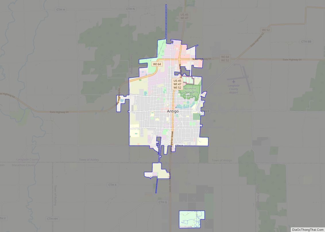
Antigo (/ˈæntɪˌɡoʊ/ AN-ti-goh) is a city in and the county seat of Langlade County, Wisconsin, United States. The population was 8,100 at the 2020 census. Antigo is the center of a farming and lumbering district, and its manufactures consist principally of lumber, chairs, furniture, sashes, doors and blinds, hubs and spokes, and other wood products. ... Read more
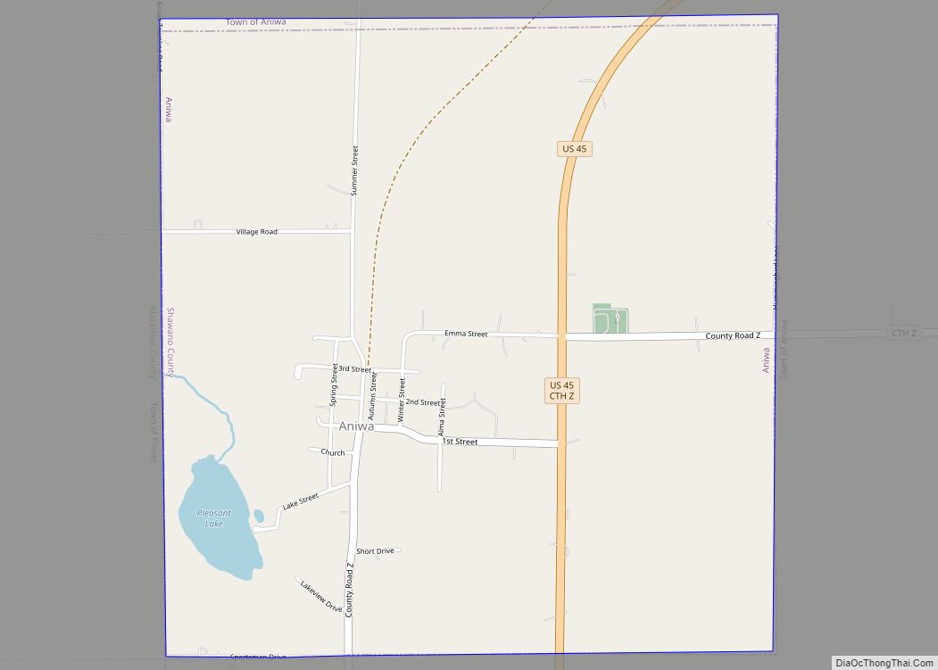
Aniwa is a town in Shawano County, Wisconsin, United States. The population was 586 at the 2000 census. The Village of Aniwa is located within the town. Aniwa village overview: Name: Aniwa village LSAD Code: 47 LSAD Description: village (suffix) State: Wisconsin County: Shawano County FIPS code: 5502075 Online Interactive Map Aniwa online map. Source: ... Read more
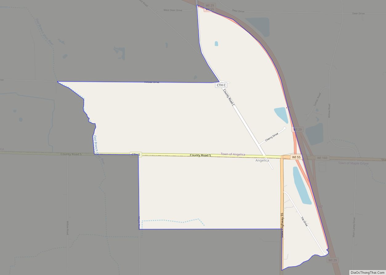
Angelica is a census-designated place in the towns of Angelica and Maple Grove in Shawano County, Wisconsin, United States. Its population was 92 as of the 2010 census. Angelica CDP overview: Name: Angelica CDP LSAD Code: 57 LSAD Description: CDP (suffix) State: Wisconsin County: Shawano County Elevation: 879 ft (268 m) Total Area: 1.56 sq mi (4.05 km²) Land Area: ... Read more
Athens is a village in Marathon County, Wisconsin, United States. The population was 1,105 at the 2010 census. It is part of the Wausau, Wisconsin Metropolitan Statistical Area. Athens village overview: Name: Athens village LSAD Code: 47 LSAD Description: village (suffix) State: Wisconsin County: Marathon County Elevation: 1,401 ft (427 m) Total Area: 2.45 sq mi (6.35 km²) Land Area: ... Read more
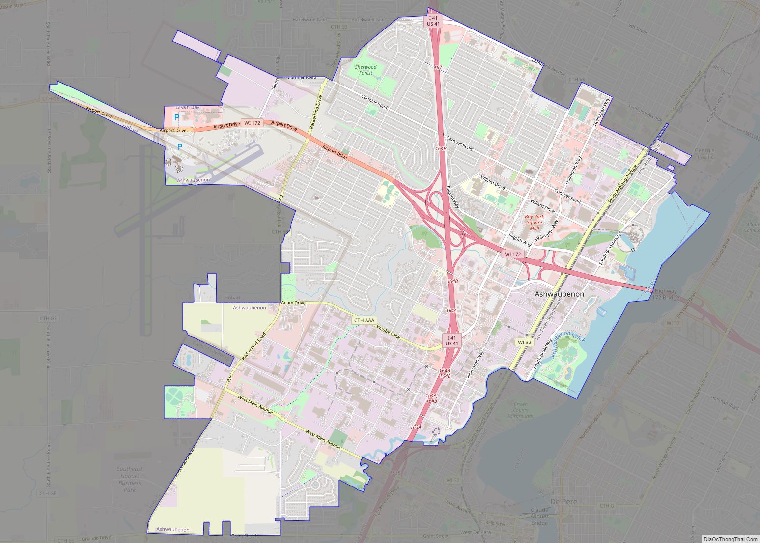
Ashwaubenon (/æʃˈwɔːbɪnɒn/) is a village in Brown County in the U.S. state of Wisconsin. The population was 16,963 at the 2010 census. A suburb of Green Bay, Ashwaubenon is part of the Green Bay Metropolitan Statistical Area and carries a Green Bay mailing address. Part of the Oneida Nation of Wisconsin is in Ashwaubenon. Ashwaubenon ... Read more
Bancroft is an unincorporated census-designated place in Portage County, Wisconsin, United States. As of the 2010 census, its population is 535. It is included in the Stevens Point, Wisconsin Micropolitan Statistical Area. Bancroft CDP overview: Name: Bancroft CDP LSAD Code: 57 LSAD Description: CDP (suffix) State: Wisconsin County: Portage County Elevation: 1,093 ft (333 m) Total Area: ... Read more
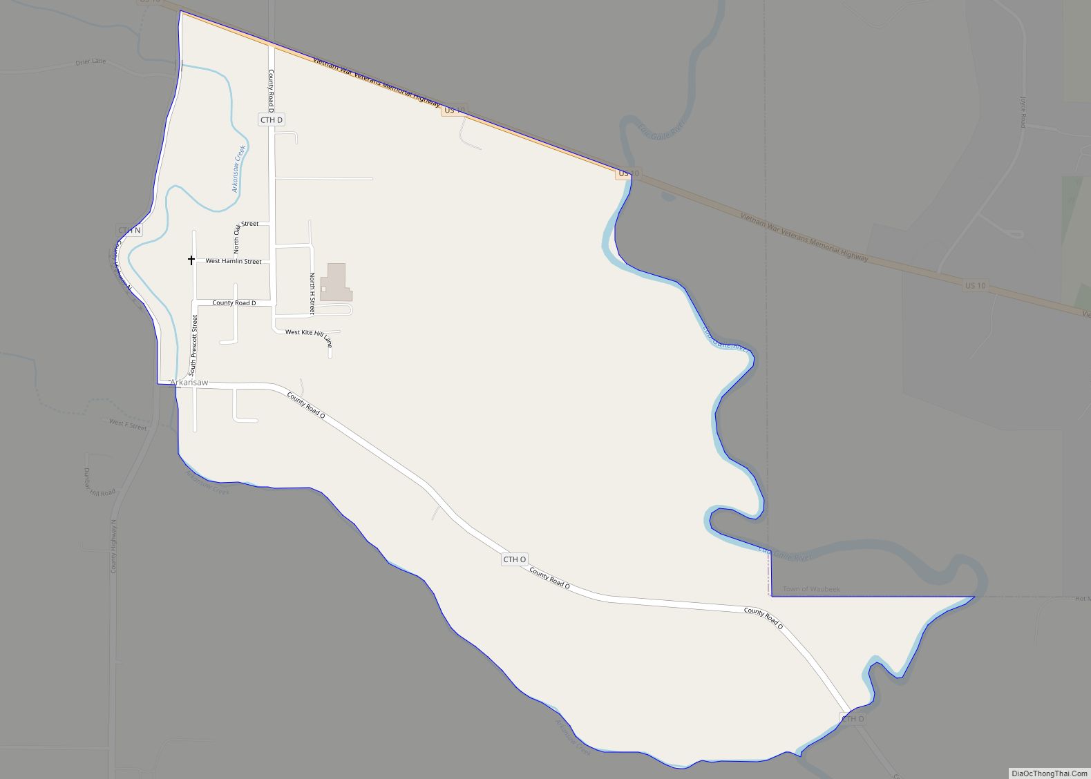
Arkansaw is an unincorporated census-designated place in the eastern portion of the town of Waterville, in Pepin County, Wisconsin, United States. Located approximately 3 miles (4.8 km) west of Durand, it has the ZIP code of 54721. As of the 2010 census, its population was 177. From 1881 to 1886, the community was the county seat ... Read more
Baldwin is a town in St. Croix County, Wisconsin, United States. The population was 903 at the 2000 census. The Village of Baldwin is located partially within the town. The unincorporated community of Dahl is also located in the town. Baldwin village overview: Name: Baldwin village LSAD Code: 47 LSAD Description: village (suffix) State: Wisconsin ... Read more
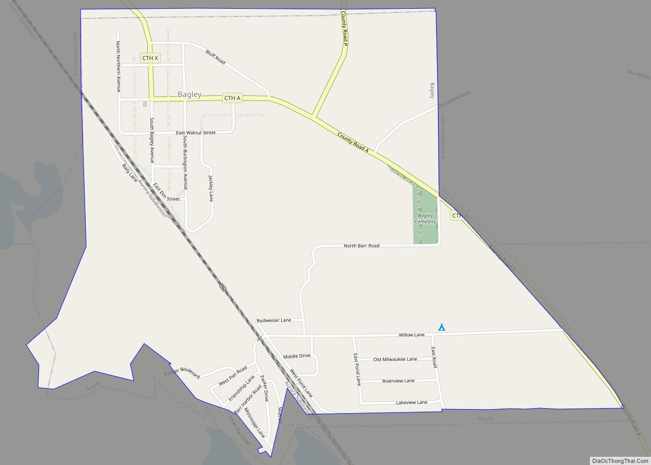
Bagley is a village in Grant County in the U.S. state of Wisconsin located on the Upper Mississippi River about 9 miles (15 km) south of Prairie du Chien, Wisconsin. The population was 379 at the 2010 census. It is a popular riverside destination in the summer, when the population can quadruple. The village was named ... Read more
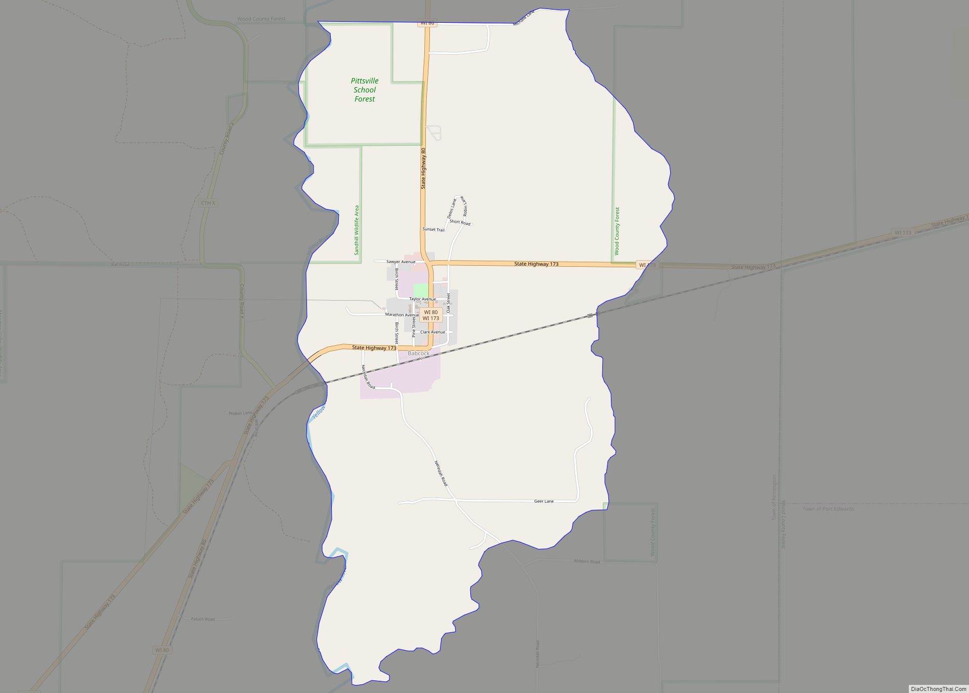
Babcock is an census-designated place located in Wood County, Wisconsin, United States. Babcock is southwest of Wisconsin Rapids, in the town of Remington. Babcock has a post office with ZIP code 54413. As of the 2010 census, its population is 126. Its motto is “Birds, Bogs, and Bucks.” The community was named for Joseph W. ... Read more
Augusta is a city in Eau Claire County, Wisconsin, United States. The population was 1,550 at the 2010 census. The city is bordered by the Town of Bridge Creek. Augusta city overview: Name: Augusta city LSAD Code: 25 LSAD Description: city (suffix) State: Wisconsin County: Eau Claire County Elevation: 961 ft (293 m) Total Area: 2.21 sq mi (5.72 km²) ... Read more

