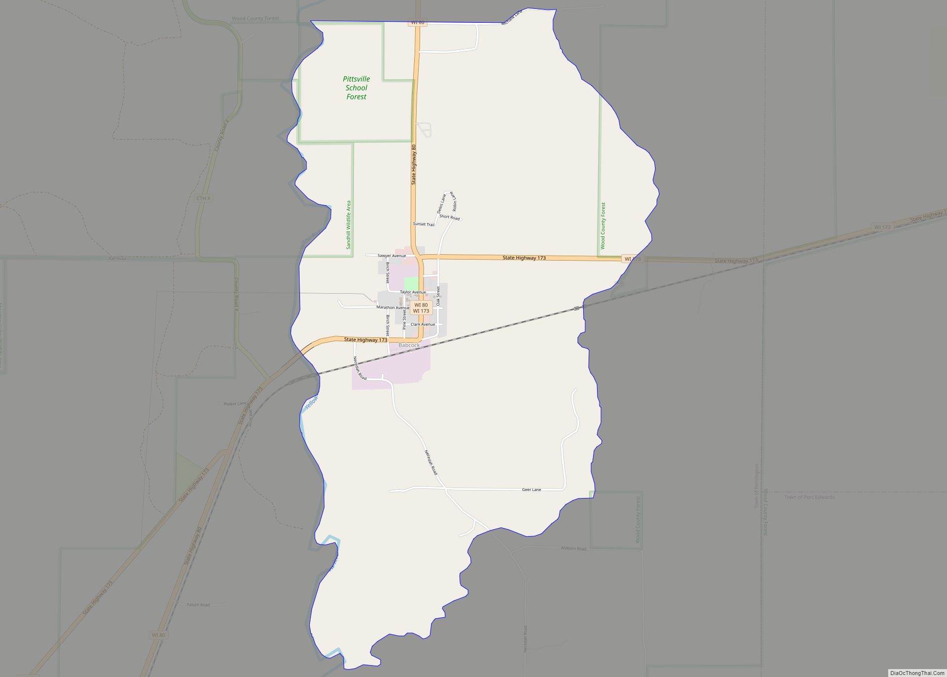
Babcock is an census-designated place located in Wood County, Wisconsin, United States. Babcock is southwest of Wisconsin Rapids, in the town of Remington. Babcock has a post office with ZIP code 54413. As of the 2010 census, its population is 126. Its motto is “Birds, Bogs, and Bucks.” The community was named for Joseph W. Babcock, a sawmill operator who purchased the site and built a hotel and a depot.
Babcock was once an important junction on the Milwaukee Road, with lines running north, east, south, and southwest. Today, however, only a single track of the Canadian National runs south to Necedah and east to Port Edwards and Wisconsin Rapids.
| Name: | Babcock CDP |
|---|---|
| LSAD Code: | 57 |
| LSAD Description: | CDP (suffix) |
| State: | Wisconsin |
| County: | Wood County |
| Elevation: | 974 ft (297 m) |
| Total Area: | 3.101 sq mi (8.03 km²) |
| Land Area: | 3.101 sq mi (8.03 km²) |
| Water Area: | 0 sq mi (0 km²) |
| Total Population: | 126 |
| Population Density: | 41/sq mi (16/km²) |
| ZIP code: | 54413 |
| FIPS code: | 5504150 |
| GNISfeature ID: | 1561050 |
Online Interactive Map
Click on ![]() to view map in "full screen" mode.
to view map in "full screen" mode.
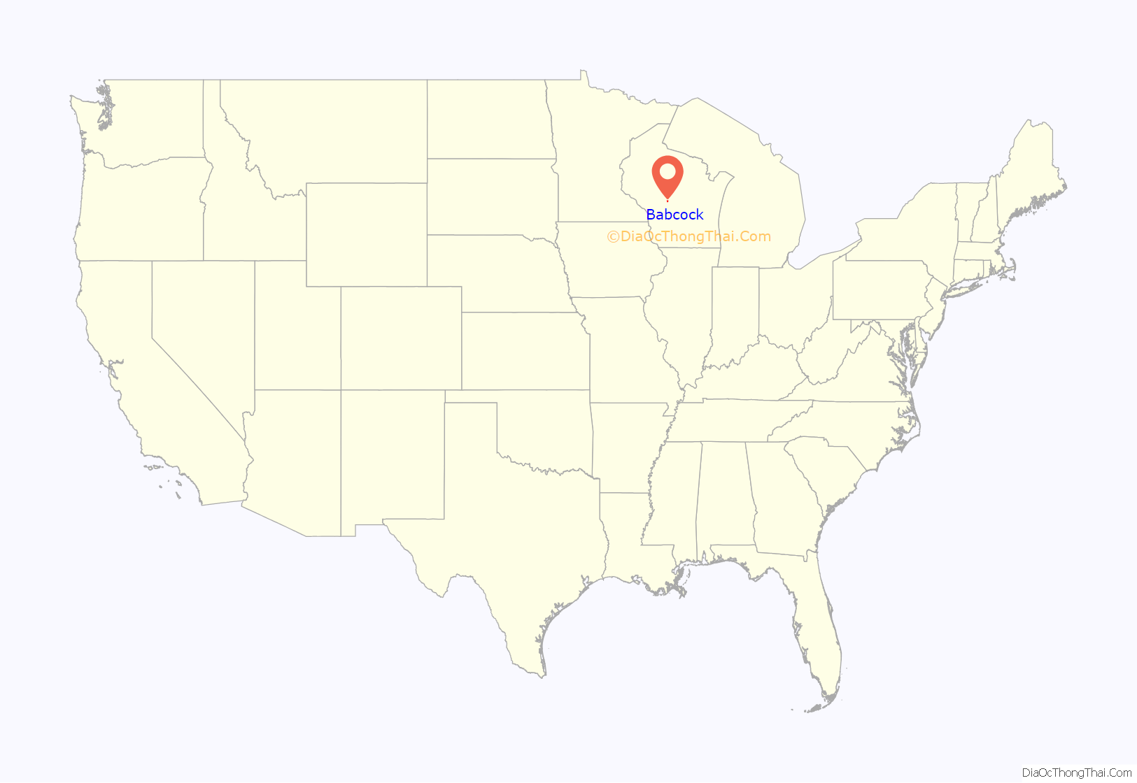
Babcock location map. Where is Babcock CDP?
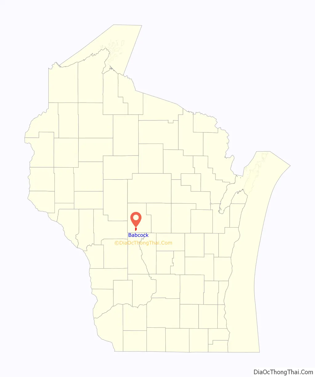
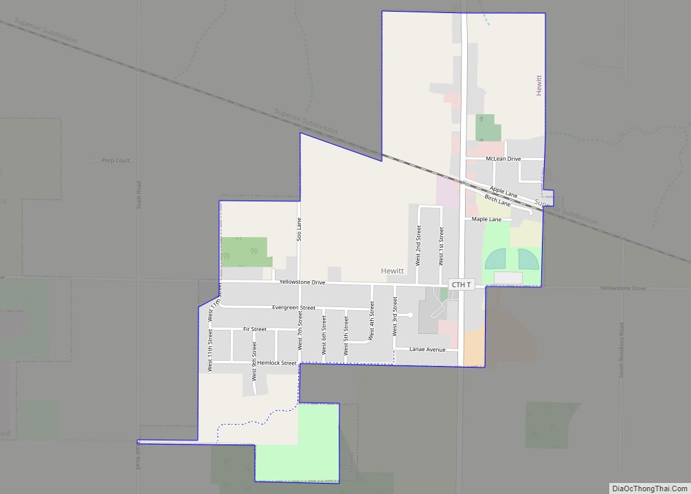
Babcock Road Map
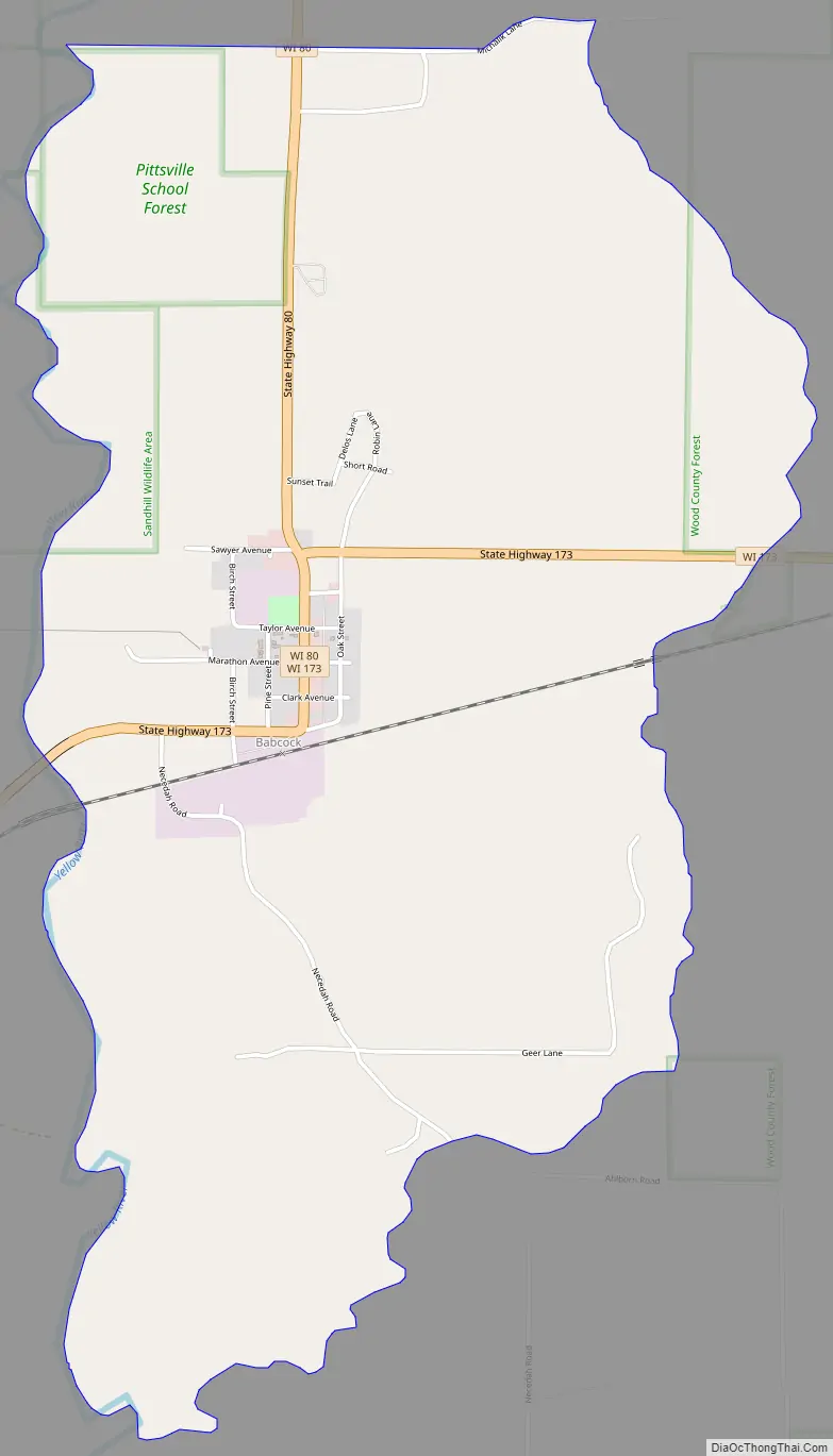
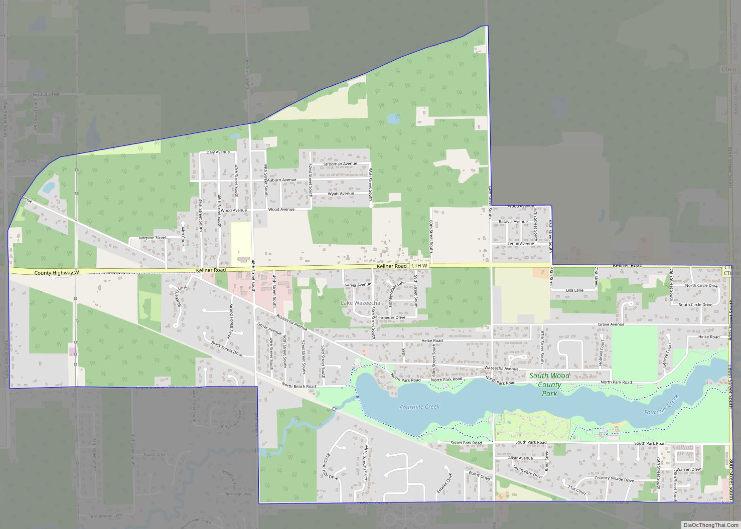
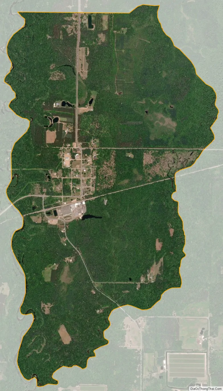
Babcock city Satellite Map
See also
Map of Wisconsin State and its subdivision:- Adams
- Ashland
- Barron
- Bayfield
- Brown
- Buffalo
- Burnett
- Calumet
- Chippewa
- Clark
- Columbia
- Crawford
- Dane
- Dodge
- Door
- Douglas
- Dunn
- Eau Claire
- Florence
- Fond du Lac
- Forest
- Grant
- Green
- Green Lake
- Iowa
- Iron
- Jackson
- Jefferson
- Juneau
- Kenosha
- Kewaunee
- La Crosse
- Lafayette
- Lake Michigan
- Lake Superior
- Langlade
- Lincoln
- Manitowoc
- Marathon
- Marinette
- Marquette
- Menominee
- Milwaukee
- Monroe
- Oconto
- Oneida
- Outagamie
- Ozaukee
- Pepin
- Pierce
- Polk
- Portage
- Price
- Racine
- Richland
- Rock
- Rusk
- Saint Croix
- Sauk
- Sawyer
- Shawano
- Sheboygan
- Taylor
- Trempealeau
- Vernon
- Vilas
- Walworth
- Washburn
- Washington
- Waukesha
- Waupaca
- Waushara
- Winnebago
- Wood
- Alabama
- Alaska
- Arizona
- Arkansas
- California
- Colorado
- Connecticut
- Delaware
- District of Columbia
- Florida
- Georgia
- Hawaii
- Idaho
- Illinois
- Indiana
- Iowa
- Kansas
- Kentucky
- Louisiana
- Maine
- Maryland
- Massachusetts
- Michigan
- Minnesota
- Mississippi
- Missouri
- Montana
- Nebraska
- Nevada
- New Hampshire
- New Jersey
- New Mexico
- New York
- North Carolina
- North Dakota
- Ohio
- Oklahoma
- Oregon
- Pennsylvania
- Rhode Island
- South Carolina
- South Dakota
- Tennessee
- Texas
- Utah
- Vermont
- Virginia
- Washington
- West Virginia
- Wisconsin
- Wyoming