Antigo (/ˈæntɪˌɡoʊ/ AN-ti-goh) is a city in and the county seat of Langlade County, Wisconsin, United States. The population was 8,100 at the 2020 census. Antigo is the center of a farming and lumbering district, and its manufactures consist principally of lumber, chairs, furniture, sashes, doors and blinds, hubs and spokes, and other wood products.
| Name: | Antigo city |
|---|---|
| LSAD Code: | 25 |
| LSAD Description: | city (suffix) |
| State: | Wisconsin |
| County: | Langlade County |
| Founded: | 1878 |
| Elevation: | 1,500 ft (500 m) |
| Total Area: | 6.51 sq mi (16.86 km²) |
| Land Area: | 6.46 sq mi (16.72 km²) |
| Water Area: | 0.05 sq mi (0.14 km²) 0.91% |
| Total Population: | 8,100 |
| Population Density: | 1,203.25/sq mi (464.58/km²) |
| FIPS code: | 5502250 |
| Website: | www.antigo-city.org |
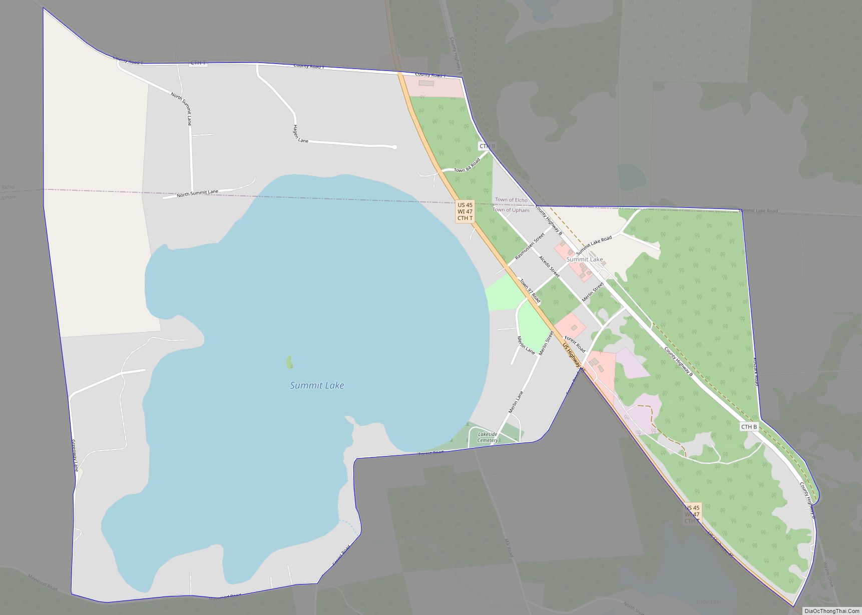
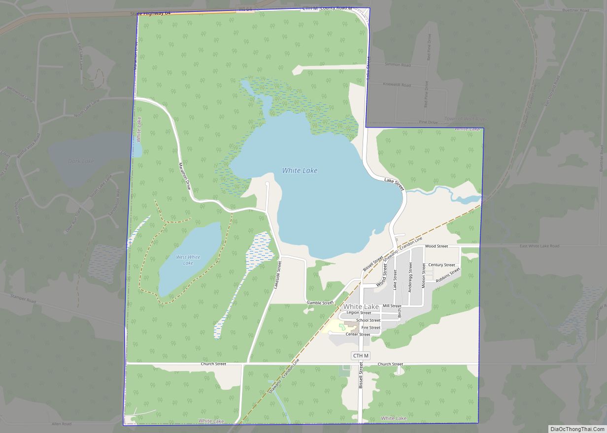
Online Interactive Map
Click on ![]() to view map in "full screen" mode.
to view map in "full screen" mode.
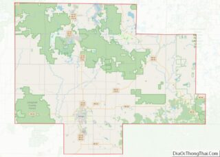
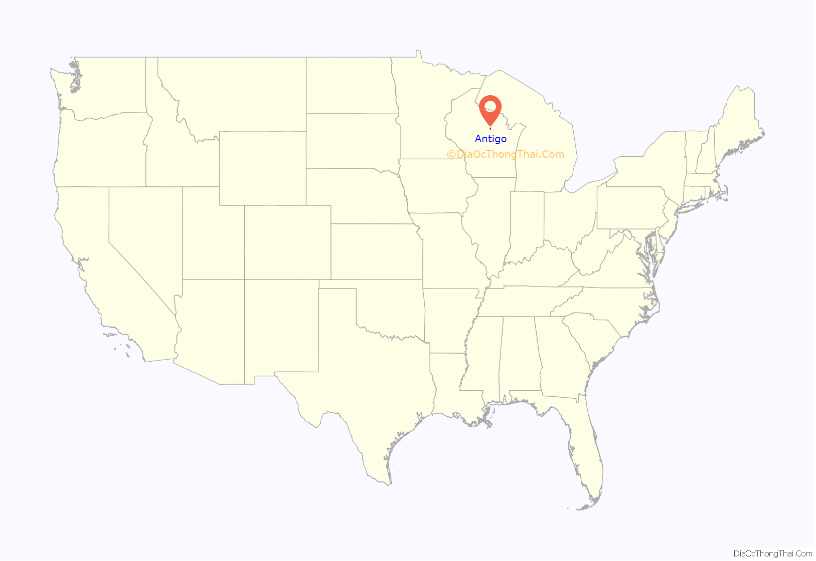
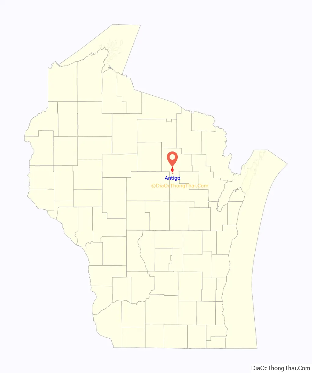
Antigo location map. Where is Antigo city?
History
The name Antigo is derived from the Ojibwe phrase “niibin-inaandagoog-ziibiing“, meaning “summer balsam firs by the river”, which was recorded by early settlers as “nequi-antigo-sebi“. An alternate etymology, nibii-aamijiwan-ziibiing, seems to be derived from mookijiwan-ziibiwishenh, “spring little-river”, which became the name of the river which runs through modern Antigo, “Spring Brook”. This alternate etymology lives on in the name of Ma-Ka-Ja-Wan Scout Reservation near Pearson, WI.
The region that is now Langlade County originally belonged to the Menominee, with several Ojibwe and Potawatomi groups migrating to the area from the east throughout the 16th-19th centuries. During this time, the Ojibwe waged and won a major war against the eastern Dakota people, driving them out of Wisconsin and Minnesota and securing the area’s wild rice beds for themselves.
By the mid-1800s, the Eau Claire River and its branches to the west of modern Antigo formed a boundary between the Ojibwe, Menominee, and Ho-Chunk tribes. The first permanent European-American settler in Langlade County was Willard Ackley, who arrived in 1853 from New York and established a trading post. He married an Ojibwe woman and became close with what is today the Sokaogon Chippewa Community.
The city was founded in 1876 by Francis A. Deleglise, accompanied by George Eckart. The log cabin in which Deleglise lived is preserved and on display at the Langlade County Historical Society Museum. A street in Antigo also bears his name. The city gained its charter in 1883.
In the early part of the 1900s, Antigo was best known for its sawmills. At the turn of the millennium, the city’s economy had a balance of industry and agriculture. High on the list are potatoes, dairy products, fur, shoes, fertilizer, steel, and aluminum products, along with the lumber and wood product industries established in the earlier years.
On April 24, 2016, a former Antigo High School student shot two students with a rifle during prom. As he approached the school with a rifle a police officer who was already on the scene shot him. He later died at a Wausau hospital.
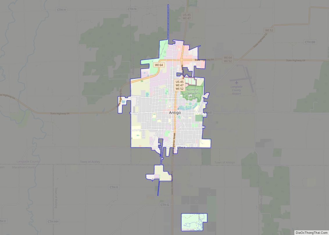
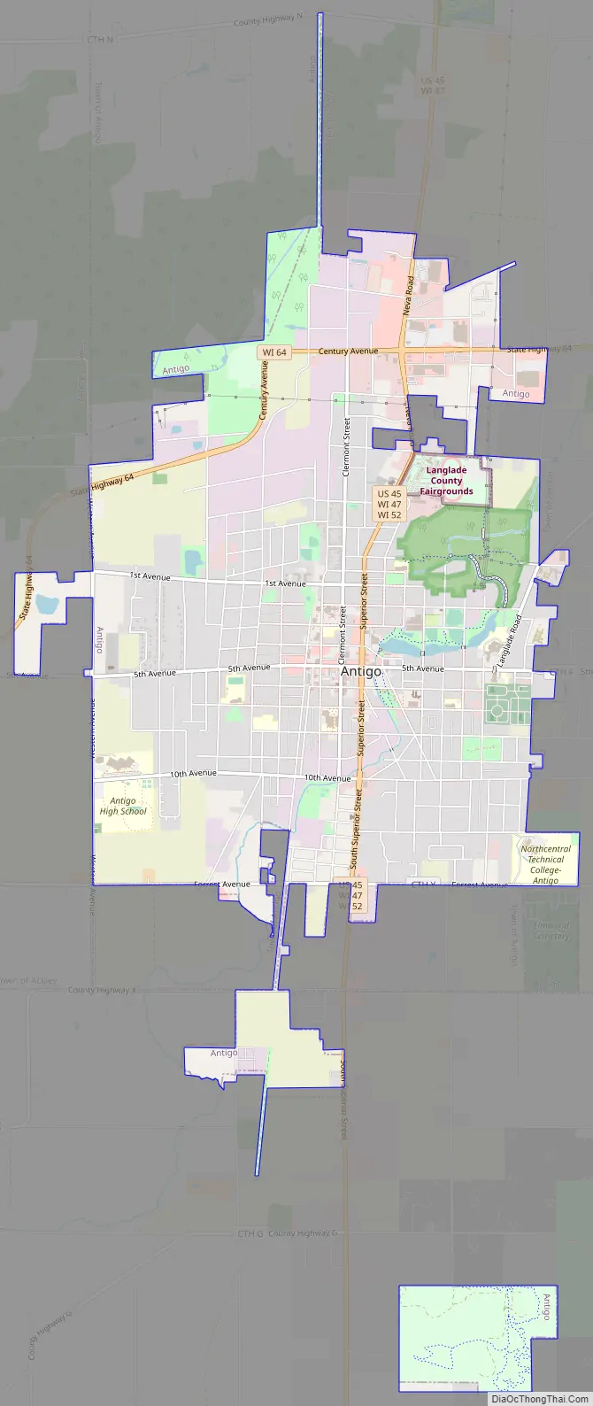
Antigo Road Map
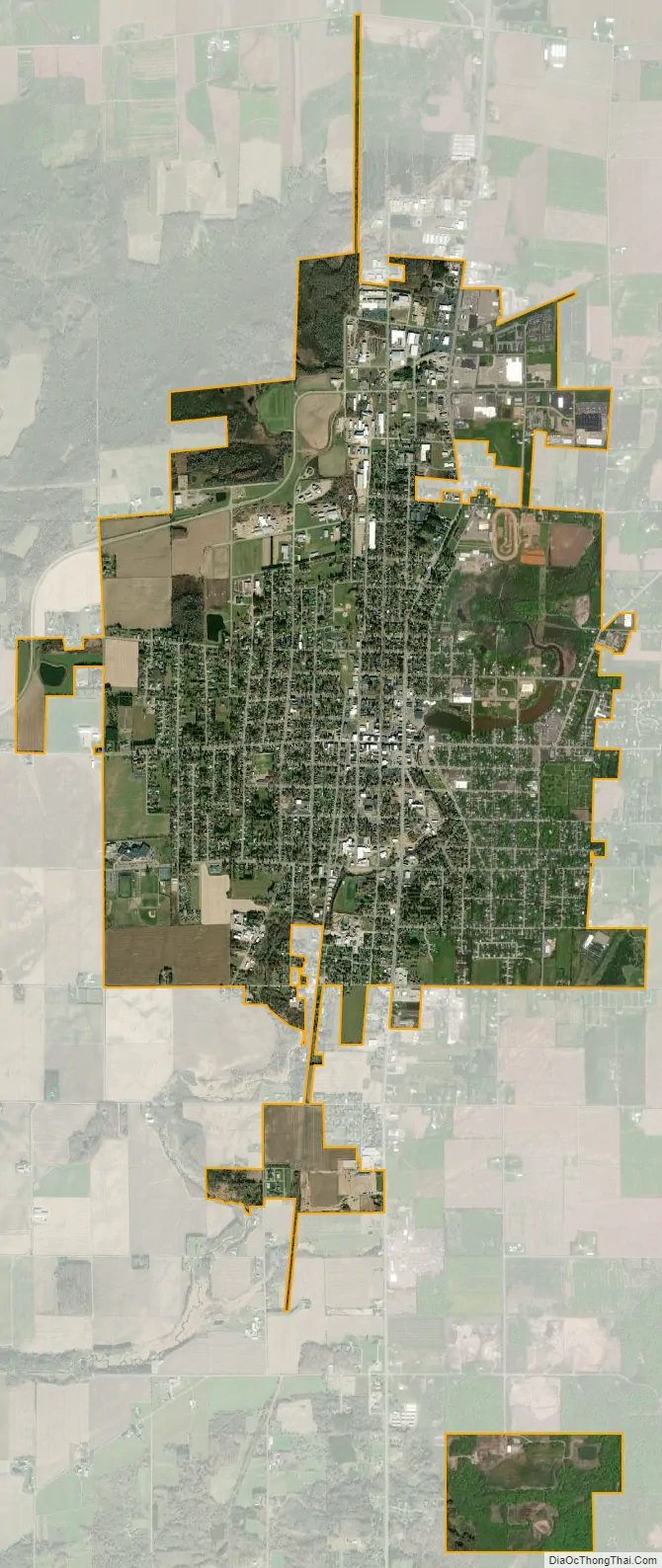
Antigo city Satellite Map
Geography
Antigo is located at 45°8′28″N 89°9′12″W / 45.14111°N 89.15333°W / 45.14111; -89.15333 (45.141218, -89.153385), approximately 160 miles (260 km) northwest of Milwaukee.
According to the United States Census Bureau, the city has a total area of 6.60 square miles (17.09 km), of which 6.54 square miles (16.94 km) is land and 0.06 square miles (0.16 km) is water.
Antigo sits on a plateau about 1,500 feet (460 m) above sea level. The wide expanse of level land, the fine stand of timber and the fertility of the “Antigo Flats” soil soon attracted many settlers. Today, the Antigo Silt Loam soil is the state soil of Wisconsin.
Climate
Antigo has a cool humid continental climate (Köppen Dfb). Annually the temperature drops below 32 °F (0 °C) on 187 days, and below 0 °F (−17.8 °C) on 43 days. The daily mean temperatures of the winters in this region are associated with subarctic climates with frequent subzero temperatures, but due to the extended warm period of daily means above 50 °F (10 °C) from May to September it stays within the humid continental temperature range.
See also
Map of Wisconsin State and its subdivision:- Adams
- Ashland
- Barron
- Bayfield
- Brown
- Buffalo
- Burnett
- Calumet
- Chippewa
- Clark
- Columbia
- Crawford
- Dane
- Dodge
- Door
- Douglas
- Dunn
- Eau Claire
- Florence
- Fond du Lac
- Forest
- Grant
- Green
- Green Lake
- Iowa
- Iron
- Jackson
- Jefferson
- Juneau
- Kenosha
- Kewaunee
- La Crosse
- Lafayette
- Lake Michigan
- Lake Superior
- Langlade
- Lincoln
- Manitowoc
- Marathon
- Marinette
- Marquette
- Menominee
- Milwaukee
- Monroe
- Oconto
- Oneida
- Outagamie
- Ozaukee
- Pepin
- Pierce
- Polk
- Portage
- Price
- Racine
- Richland
- Rock
- Rusk
- Saint Croix
- Sauk
- Sawyer
- Shawano
- Sheboygan
- Taylor
- Trempealeau
- Vernon
- Vilas
- Walworth
- Washburn
- Washington
- Waukesha
- Waupaca
- Waushara
- Winnebago
- Wood
- Alabama
- Alaska
- Arizona
- Arkansas
- California
- Colorado
- Connecticut
- Delaware
- District of Columbia
- Florida
- Georgia
- Hawaii
- Idaho
- Illinois
- Indiana
- Iowa
- Kansas
- Kentucky
- Louisiana
- Maine
- Maryland
- Massachusetts
- Michigan
- Minnesota
- Mississippi
- Missouri
- Montana
- Nebraska
- Nevada
- New Hampshire
- New Jersey
- New Mexico
- New York
- North Carolina
- North Dakota
- Ohio
- Oklahoma
- Oregon
- Pennsylvania
- Rhode Island
- South Carolina
- South Dakota
- Tennessee
- Texas
- Utah
- Vermont
- Virginia
- Washington
- West Virginia
- Wisconsin
- Wyoming