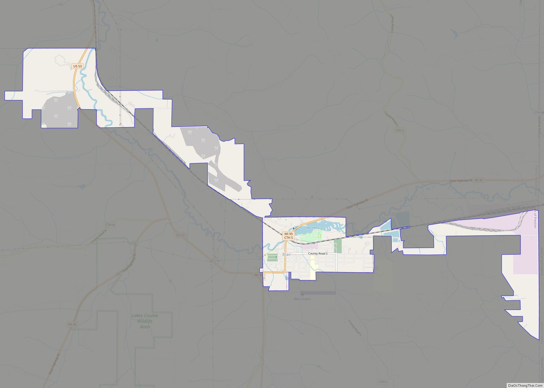
Blair is a city in Trempealeau County, Wisconsin, along the Trempealeau River. The population was 1,366 at the 2010 census. Blair is on the former Green Bay and Western Railroad, which ran down the Trempealeau River valley to Winona, Minnesota. Blair city overview: Name: Blair city LSAD Code: 25 LSAD Description: city (suffix) State: Wisconsin ... Read more
Map of US Cities and Places
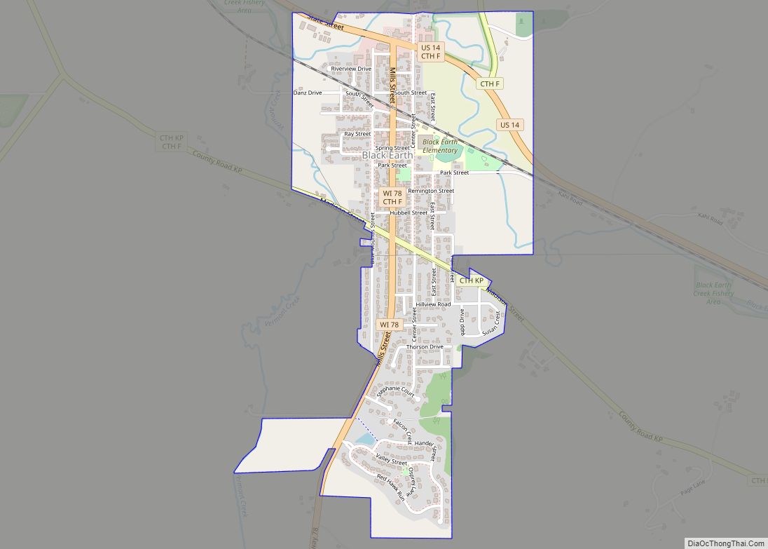
The Town of Black Earth is located in Dane County, Wisconsin, United States. The population was 510 at the 2020 census. Black Earth village overview: Name: Black Earth village LSAD Code: 47 LSAD Description: village (suffix) State: Wisconsin County: Dane County FIPS code: 5507800 Online Interactive Map Black Earth online map. Source: Basemap layers from ... Read more
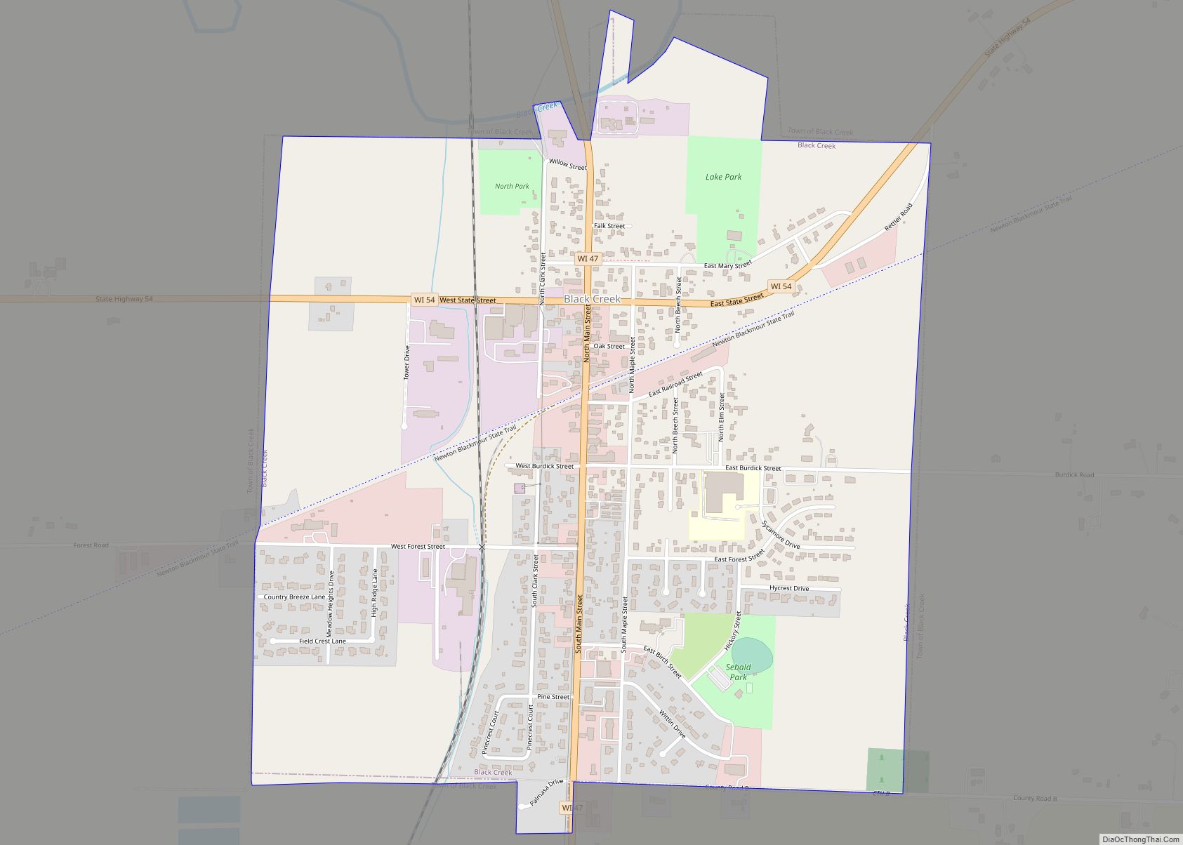
Black Creek is a town in Outagamie County, Wisconsin, United States. The population was 1,251 at the 2020 census. The Village of Black Creek (governed separately) and the unincorporated community of Binghamton are located in the town. The unincorporated community of Five Corners is also located partially in the town. Black Creek village overview: Name: ... Read more
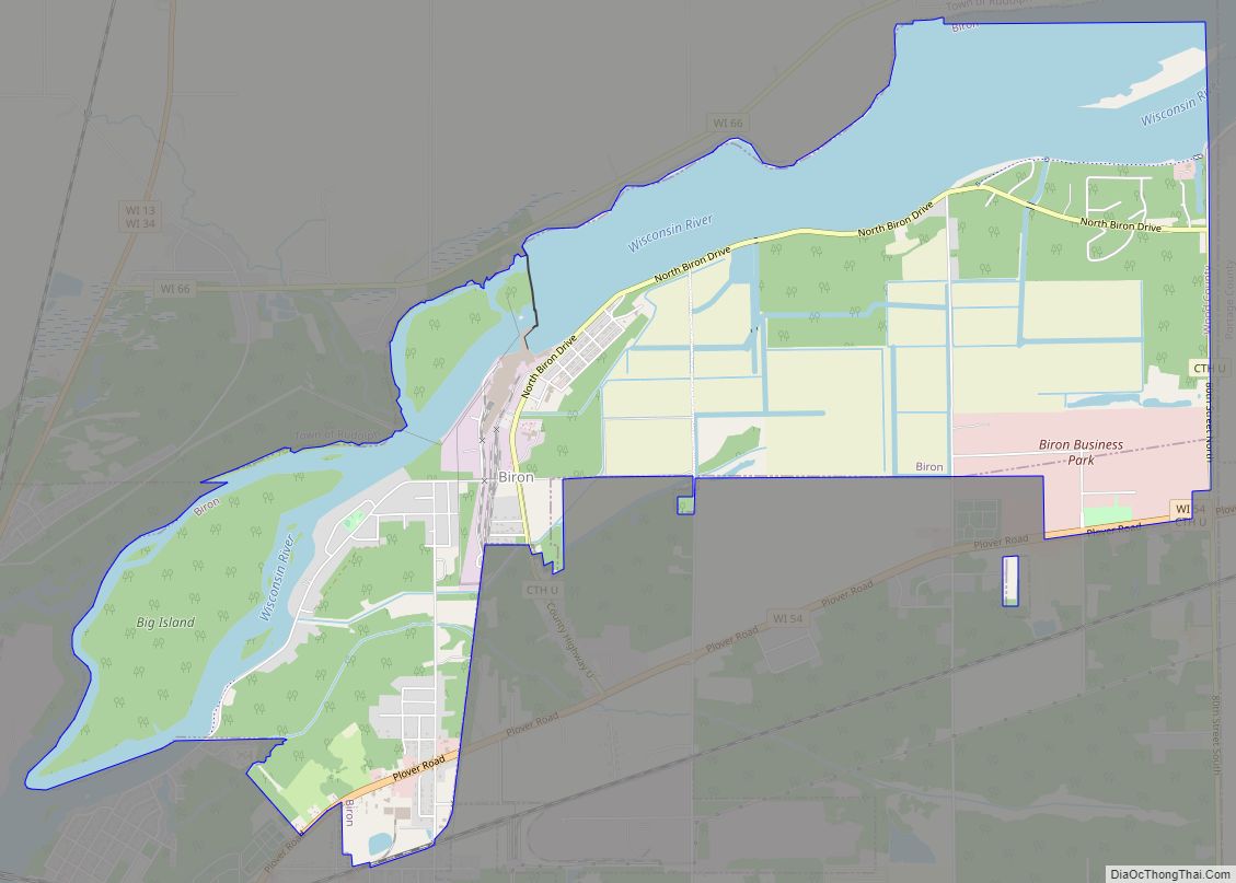
Biron is a village in Wood County, Wisconsin, United States. The population was 839 at the 2010 census. It is the site of ND Paper’s Biron Mill. Biron village overview: Name: Biron village LSAD Code: 47 LSAD Description: village (suffix) State: Wisconsin County: Wood County Elevation: 1,024 ft (312 m) Total Area: 6.28 sq mi (16.26 km²) Land Area: 4.64 sq mi ... Read more
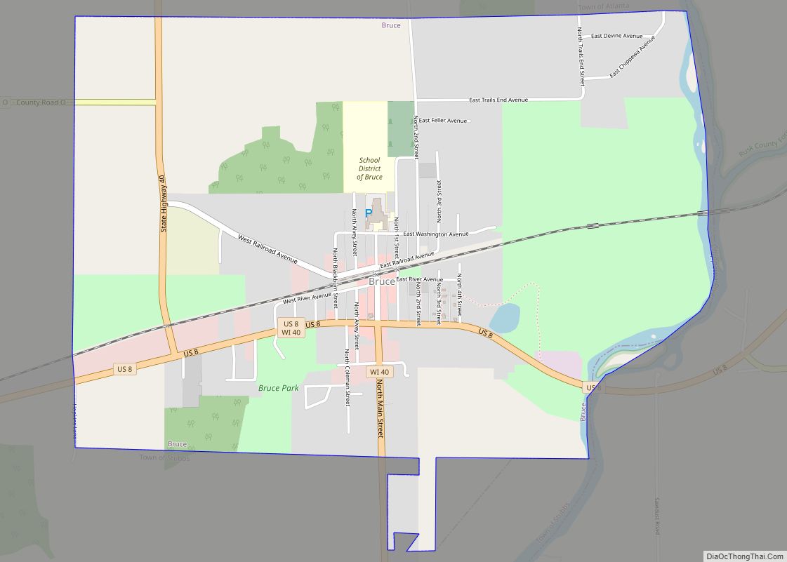
Bruce is a village in Rusk County, Wisconsin, United States. The population was 779 at the 2010 census. The village was founded in 1884 by the Sault Ste. Marie Land and Improvement Company. The land company was incorporated and led by the principal officers of the Minneapolis, Sault Ste. Marie and Atlantic Railway, which operated ... Read more
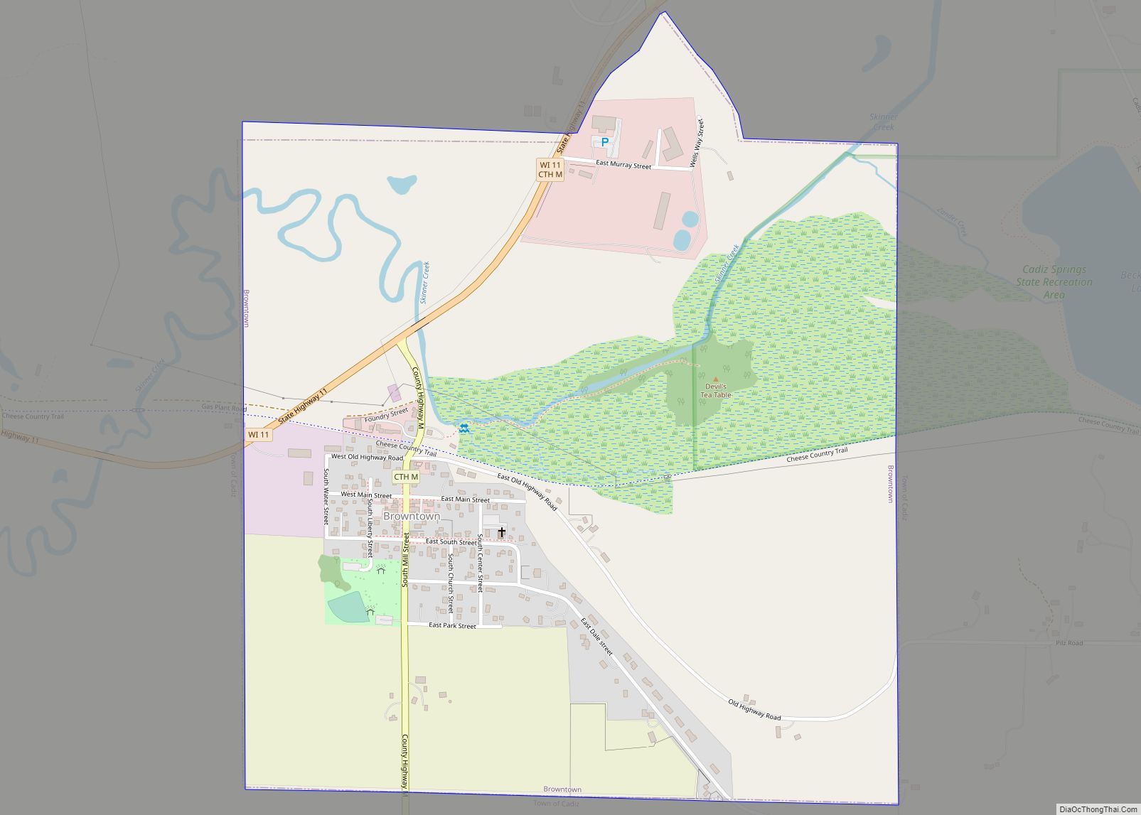
Browntown is a village in Green County, Wisconsin, United States. The population was 280 at the 2010 census. Browntown village overview: Name: Browntown village LSAD Code: 47 LSAD Description: village (suffix) State: Wisconsin County: Green County Elevation: 837 ft (255 m) Total Area: 1.05 sq mi (2.73 km²) Land Area: 1.05 sq mi (2.73 km²) Water Area: 0.00 sq mi (0.00 km²) Total Population: 280 Population ... Read more
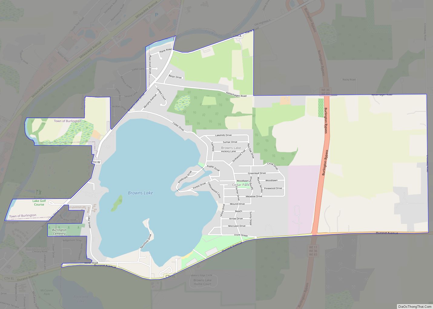
Browns Lake is a census-designated place (CDP) in Racine County, Wisconsin around a lake of the same name. The population was 1,879 at the 2020 census. It is politically a part of the town of Burlington, along with Bohners Lake. Browns Lake CDP overview: Name: Browns Lake CDP LSAD Code: 57 LSAD Description: CDP (suffix) ... Read more
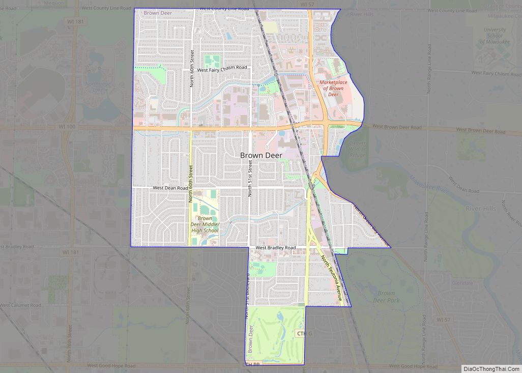
Brown Deer is a village in Milwaukee County, Wisconsin, United States. As a suburb of Milwaukee, it is part of the Milwaukee metropolitan area. The population was 12,507 at the 2020 census. Brown Deer village overview: Name: Brown Deer village LSAD Code: 47 LSAD Description: village (suffix) State: Wisconsin County: Milwaukee County Elevation: 692 ft (211 m) ... Read more
Brooklyn is a village in Dane and Green counties in Wisconsin, United States. The population was 1,524 at the 2020 census, with 1,026 residents in Dane County and 498 in Green County. The Dane County portion of Brooklyn is part of the Madison Metropolitan Statistical Area, while the Green County portion is part of the ... Read more
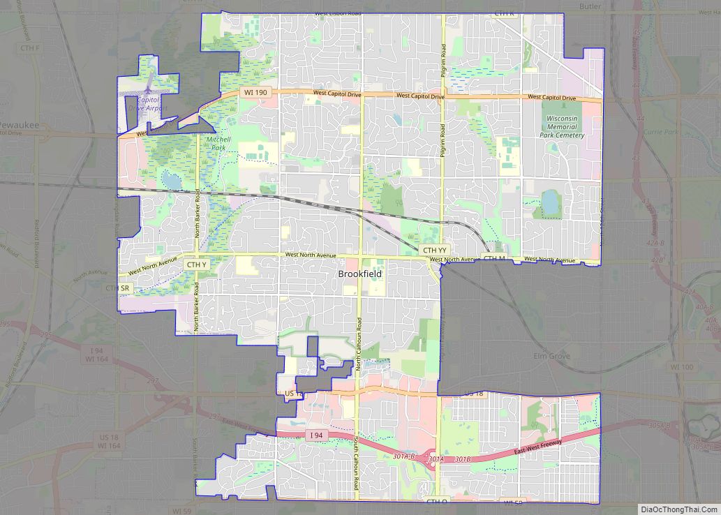
Brookfield is a city located in Waukesha County, Wisconsin, United States in the Milwaukee metropolitan area. It had a population of 41,464 at the 2020 census. Brookfield is the third-largest city in Waukesha County. The city is adjacent to the Town of Brookfield. Brookfield city overview: Name: Brookfield city LSAD Code: 25 LSAD Description: city ... Read more
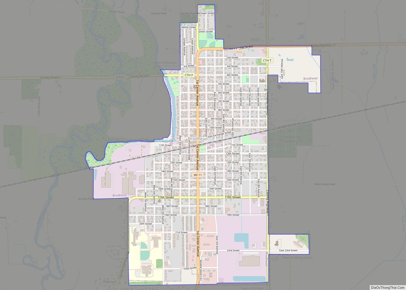
Brodhead is a city in Green and Rock counties in the U.S. state of Wisconsin. The population was 3,274 at the 2020 census. In February 2000, the city annexed a portion of land from the Town of Spring Valley in Rock County. Brodhead city overview: Name: Brodhead city LSAD Code: 25 LSAD Description: city (suffix) ... Read more
Bristol is a village in Kenosha County, Wisconsin, United States. It was incorporated in 2009 from portions of the Town of Bristol. The population was 5,192 at the 2020 census, more than double the 2010 census population of 2,584. The former unincorporated communities of Bissell, Cypress, Pikeville, and Woodworth are located in the village. Bristol ... Read more
