Brookfield is a city located in Waukesha County, Wisconsin, United States in the Milwaukee metropolitan area. It had a population of 41,464 at the 2020 census. Brookfield is the third-largest city in Waukesha County. The city is adjacent to the Town of Brookfield.
| Name: | Brookfield city |
|---|---|
| LSAD Code: | 25 |
| LSAD Description: | city (suffix) |
| State: | Wisconsin |
| County: | Waukesha County |
| Incorporated: | August 14, 1954 |
| Elevation: | 830 ft (253 m) |
| Land Area: | 27.29 sq mi (70.68 km²) |
| Water Area: | 0.37 sq mi (0.95 km²) 1.327% |
| Population Density: | 1,433.31/sq mi (553.41/km²) |
| Area code: | 262 |
| FIPS code: | 5510025 |
| Website: | ci.brookfield.wi.us |
Online Interactive Map
Click on ![]() to view map in "full screen" mode.
to view map in "full screen" mode.
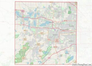
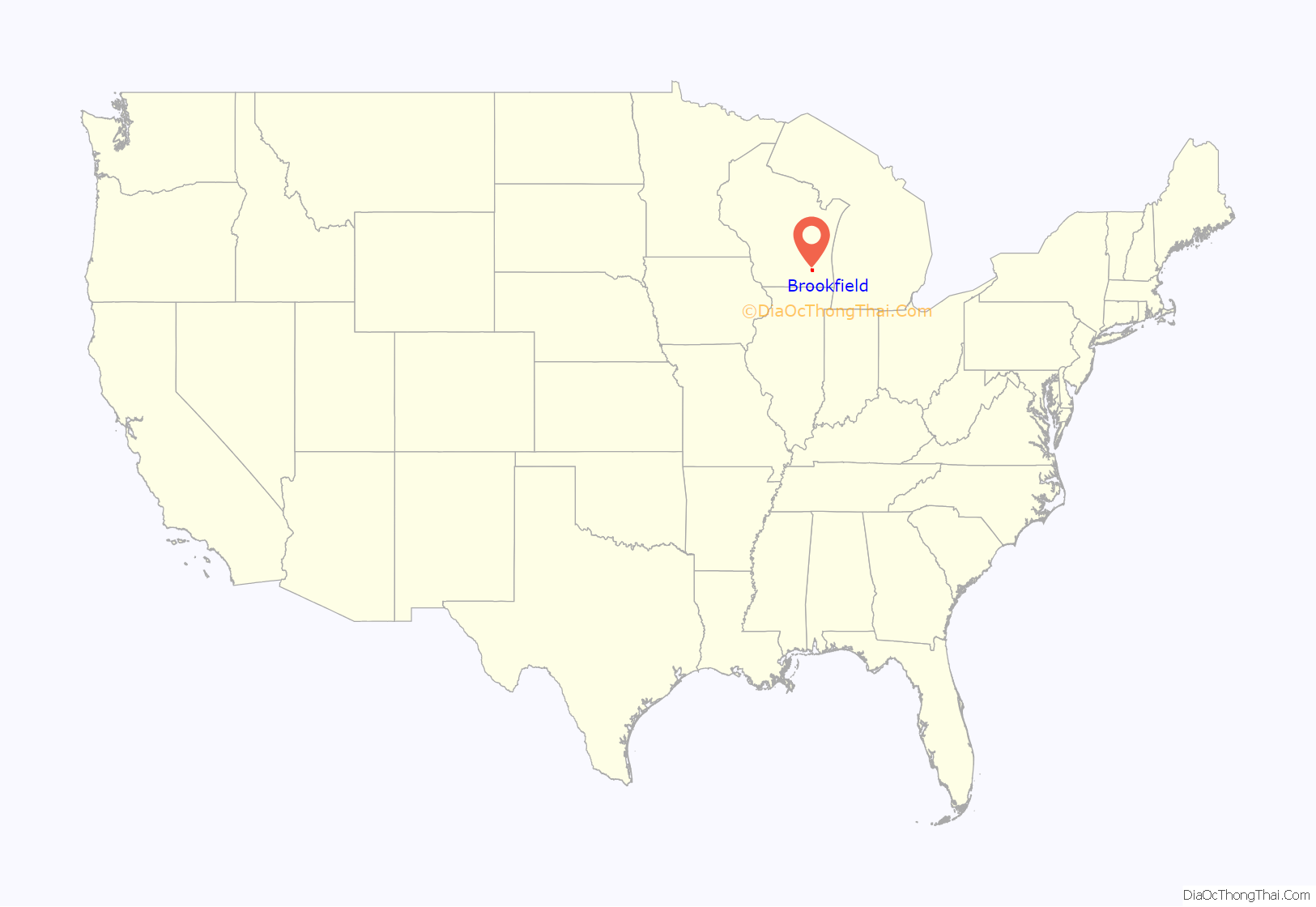
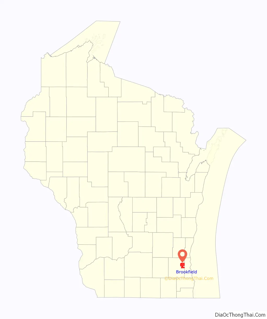
Brookfield location map. Where is Brookfield city?
History
Brookfield is west of Milwaukee in Waukesha County in an area originally inhabited by Potawatomi Indians. The first white settler, William Howe, arrived in 1820 with a Presidential Land Grant giving him title to the area. Soon after, Robert Curren bought a claim in 1836 and established a tavern and inn.
In May 1838, Jacques View Jr., with a large party of white settlers, led the local Potawatomi west. Caroline Quiner, the mother of Laura Ingalls Wilder, was born in a cabin in 1839 in what is now the City of Brookfield, near the current intersection of Brookfield Road and Davidson Road. By 1839, the population needed a school house, as the 1840 census showed a population of 148. In these 1840s, George Gebhardt started trading with the surrounding Potawatomi and Menominee neighbors. 1843 is when the first church was built, by the Irish Catholic congregation, named St. Dominic. 1848 was when telegraph lines were laid through Brookfield, towards Waukesha. Communication was made easier due to this. In 1849, cholera reached Brookfield, and one Laura Grover recalls, “The death-like stillness was appalling; nothing was seen but the death carts rolling round the streets gathering the recent dead… I believe there were fifty deaths from cholera that day.” The same year, 64 Brookfield residents voted in favor of giving suffrage to black residents, and 0 the other way. In 1850, cholera again went through Brookfield, and according to one Earl Thayer, “The cholera returned… more terrible than the year before. People literally died walking along the streets. Official reports put the toll at over 300.”
In 1850, the Milwaukee and Mississippi Railroad (now the Canadian Pacific Rail) built a railroad through the town, which in 1853 erected a depot, forming the Brookfield Junction. In the year 1850, the Town of Brookfield had 1,944 inhabitants and in land area covered 36 square miles. The town slowly grew over following years, with the economy being mostly agricultural, with Brookfield Junction serving as a commercial center for the surrounding farms. The Civil War had little effect on this town, despite the severe losses of members serving from the state. “More than 12,000 died: 3,802 were killed in action or died of wounds and 8,499 died from disease, exposure, and other causes.” In 1867, a second rail depot was constructed, which still stands.
In the 1900s, Brookfield gained a new reputation. Waukesha County was called Cow County, U.S.A., as according to advertisers, they claimed that in the county there were more cows than people. This was, of course, fantastical, although there were cows. This did help cement Wisconsin’s dairy reputation. WWI, one of the biggest wars in history, also didn’t have too much of an effect on Brookfield and how we know it today. The so-called Spanish flu, however, did kill many people, but not as many as cholera had in the past. On May 31, 1914, a tornado hit, devastating the farmers and the rural area.
This quiet, rural atmosphere attracted one notorious resident, Al Capone, as he established an area to live and a distillery on Brookfield Road. In 1928, the first suburban development, Kinsey’s Garvendale, a residential subdivision, was created. Early subdivisions grew slowly due to the Great Depression hitting a year later, affecting its growth and killing demand.
Development in Brookfield began to increase after the Second World War. Suburban development was encouraged by a scarcity of urban area housing, the baby boom, and government sponsored building programs, which further grew the town, and after several annexations of neighboring communities, an incorporation drive started. The City of Brookfield was incorporated from the town of Brookfield, a portion of which still survives along the city’s western edge, on August 14, 1954. The first mayor was Franklin Wirth, and he oversaw the new city, which at the time had a population of 7,900 and covered an area of 17.5 square miles. Much of the land was still in agricultural use, so the city’s founders encouraged orderly development of office and industrial areas to cause the community to function with strong industrial and commercial base.
Today, Brookfield covers 27.66 square miles, and numbers 37,920 residents.
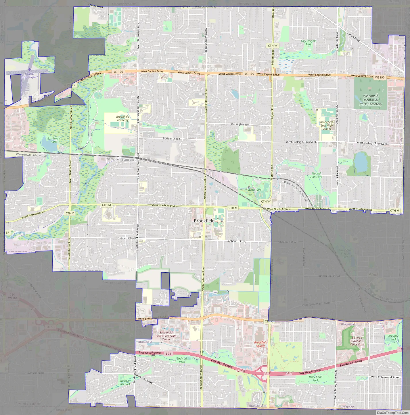
Brookfield Road Map
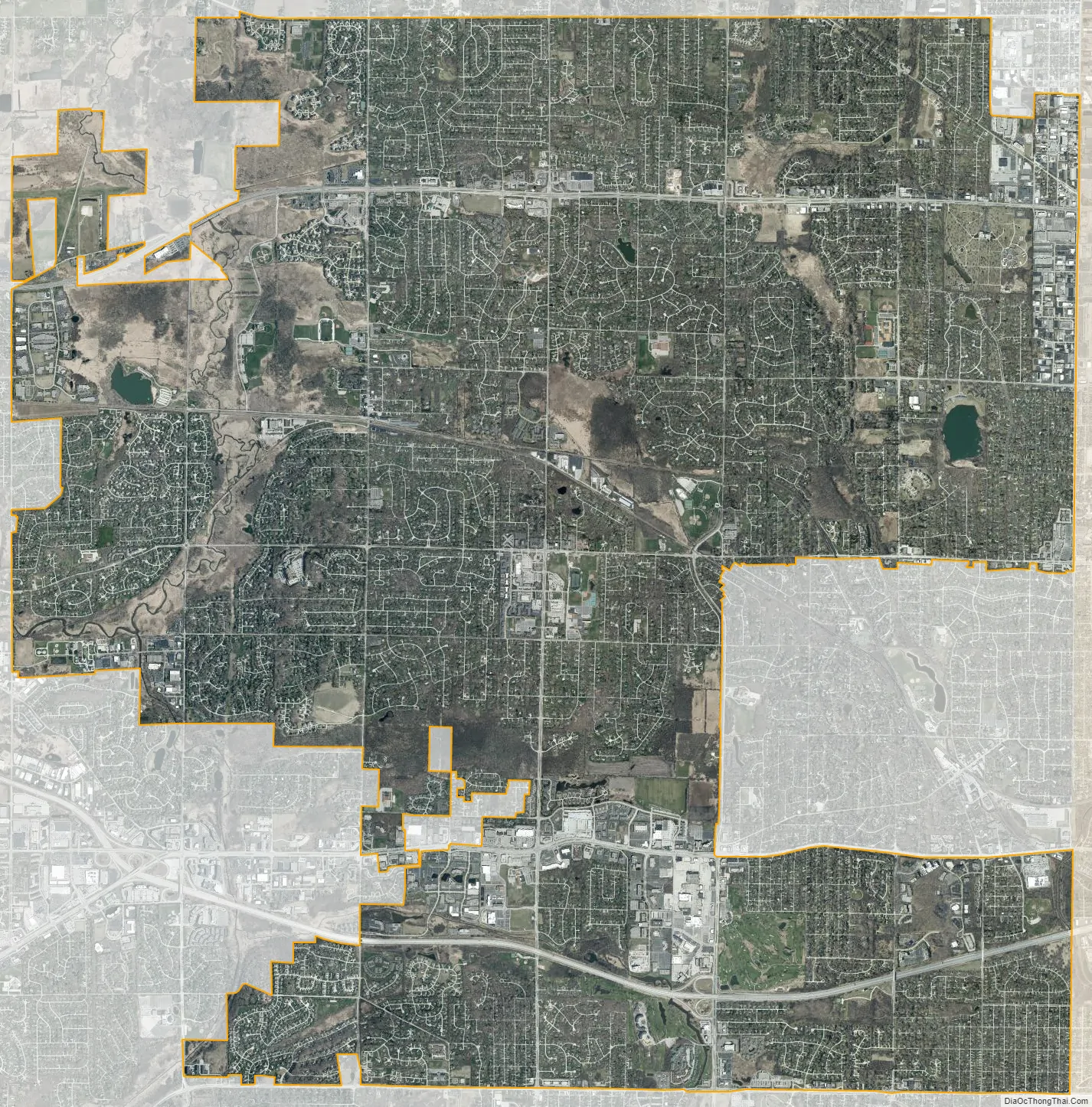
Brookfield city Satellite Map
Geography
According to the United States Census Bureau, the city has a total area of 27.59 square miles (71.46 km), of which 27.29 square miles (70.68 km) is land and 0.367 square miles (0.95 km) is water. The sub-continental divide passes through Brookfield; on the eastern side of this divide, easily marked by the crest at Calhoun Road and Capitol Drive, water flows to Lake Michigan on its way to the Gulf of Saint Lawrence; on the western side of this divide, water flows to the Fox River of Illinois and Wisconsin on its way to the Mississippi River and the Gulf of Mexico.
There is a heron rookery on a site northwest of Capitol Drive and Brookfield Road.
The Köppen-Geiger climate classification system classifies its climate as humid continental (Dfa).
See also
Map of Wisconsin State and its subdivision:- Adams
- Ashland
- Barron
- Bayfield
- Brown
- Buffalo
- Burnett
- Calumet
- Chippewa
- Clark
- Columbia
- Crawford
- Dane
- Dodge
- Door
- Douglas
- Dunn
- Eau Claire
- Florence
- Fond du Lac
- Forest
- Grant
- Green
- Green Lake
- Iowa
- Iron
- Jackson
- Jefferson
- Juneau
- Kenosha
- Kewaunee
- La Crosse
- Lafayette
- Lake Michigan
- Lake Superior
- Langlade
- Lincoln
- Manitowoc
- Marathon
- Marinette
- Marquette
- Menominee
- Milwaukee
- Monroe
- Oconto
- Oneida
- Outagamie
- Ozaukee
- Pepin
- Pierce
- Polk
- Portage
- Price
- Racine
- Richland
- Rock
- Rusk
- Saint Croix
- Sauk
- Sawyer
- Shawano
- Sheboygan
- Taylor
- Trempealeau
- Vernon
- Vilas
- Walworth
- Washburn
- Washington
- Waukesha
- Waupaca
- Waushara
- Winnebago
- Wood
- Alabama
- Alaska
- Arizona
- Arkansas
- California
- Colorado
- Connecticut
- Delaware
- District of Columbia
- Florida
- Georgia
- Hawaii
- Idaho
- Illinois
- Indiana
- Iowa
- Kansas
- Kentucky
- Louisiana
- Maine
- Maryland
- Massachusetts
- Michigan
- Minnesota
- Mississippi
- Missouri
- Montana
- Nebraska
- Nevada
- New Hampshire
- New Jersey
- New Mexico
- New York
- North Carolina
- North Dakota
- Ohio
- Oklahoma
- Oregon
- Pennsylvania
- Rhode Island
- South Carolina
- South Dakota
- Tennessee
- Texas
- Utah
- Vermont
- Virginia
- Washington
- West Virginia
- Wisconsin
- Wyoming