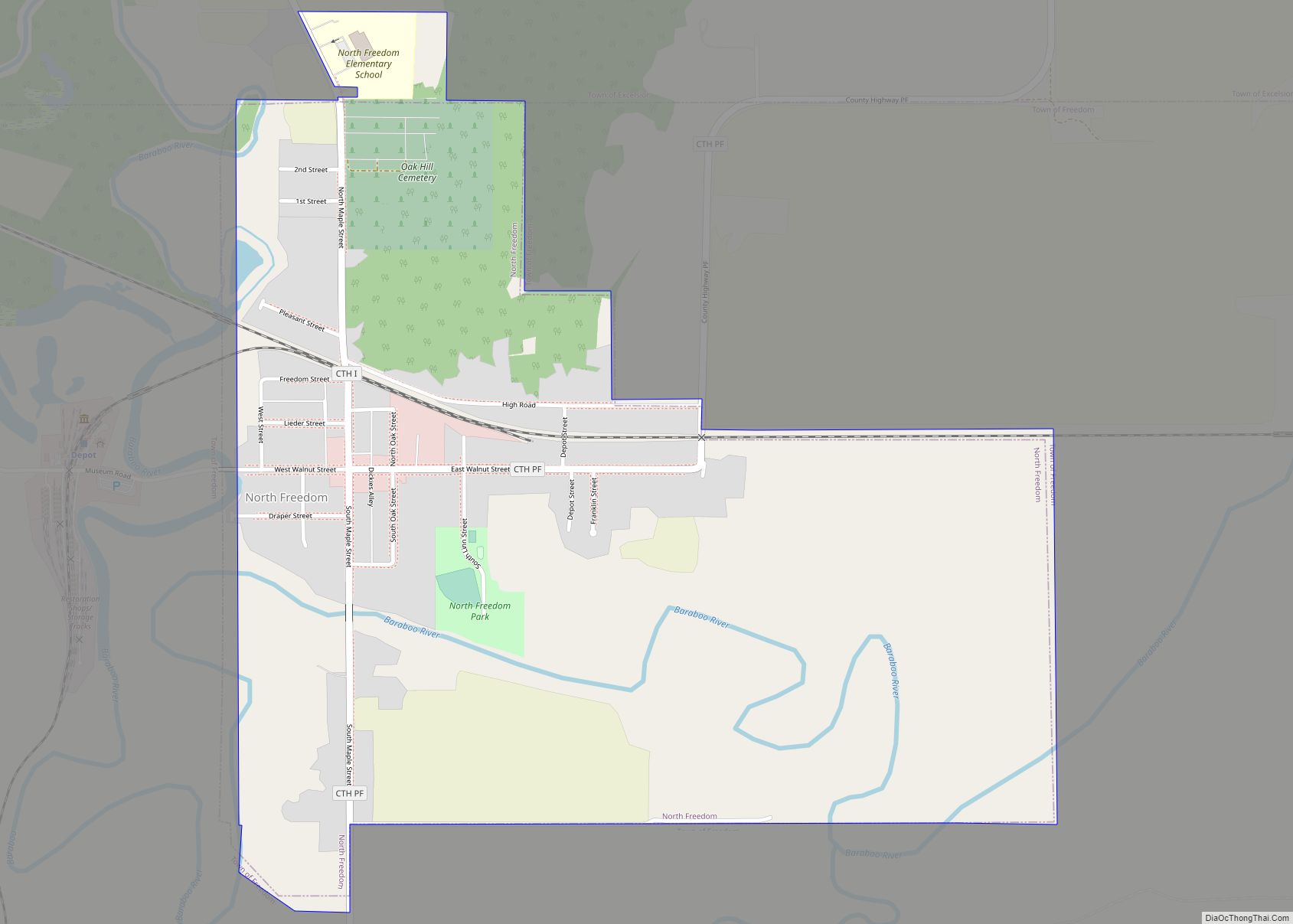
North Freedom is a village along the Baraboo River in Sauk County, Wisconsin, United States. The population was 701 at the 2010 census. North Freedom village overview: Name: North Freedom village LSAD Code: 47 LSAD Description: village (suffix) State: Wisconsin County: Sauk County Elevation: 879 ft (268 m) Total Area: 0.89 sq mi (2.31 km²) Land Area: 0.84 sq mi (2.17 km²) Water ... Read more
Map of US Cities and Places
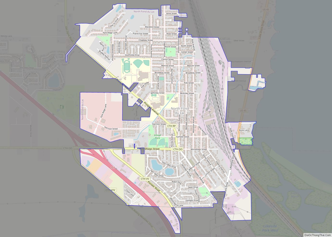
North Fond du Lac is a village in Fond du Lac County, Wisconsin, United States. The population was 5,378 at the 2020 census. Despite the name, North Fond du Lac is actually located northwest of Fond du Lac, as Lake Winnebago is directly north of Fond du Lac. North Fond du Lac village overview: Name: ... Read more
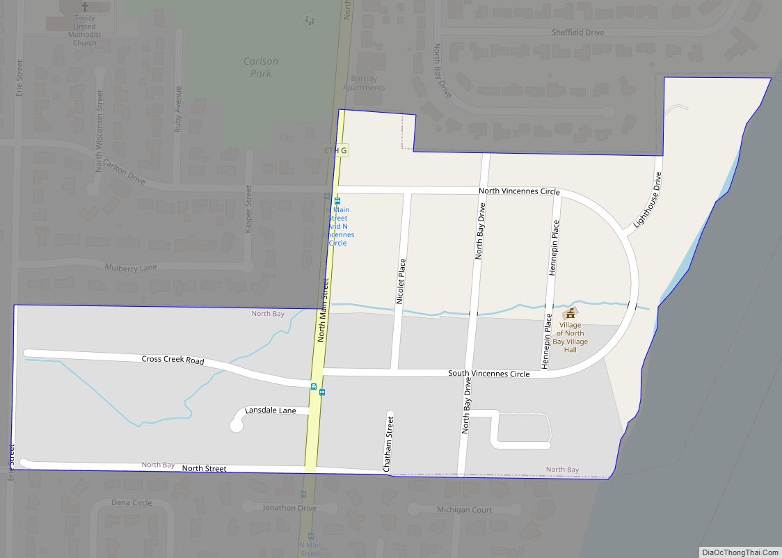
North Bay is a village in Racine County, Wisconsin, United States. The population was 209 at the 2020 census. North Bay village overview: Name: North Bay village LSAD Code: 47 LSAD Description: village (suffix) State: Wisconsin County: Racine County Elevation: 607 ft (185 m) Total Area: 0.10 sq mi (0.27 km²) Land Area: 0.10 sq mi (0.27 km²) Water Area: 0.00 sq mi (0.00 km²) Total ... Read more
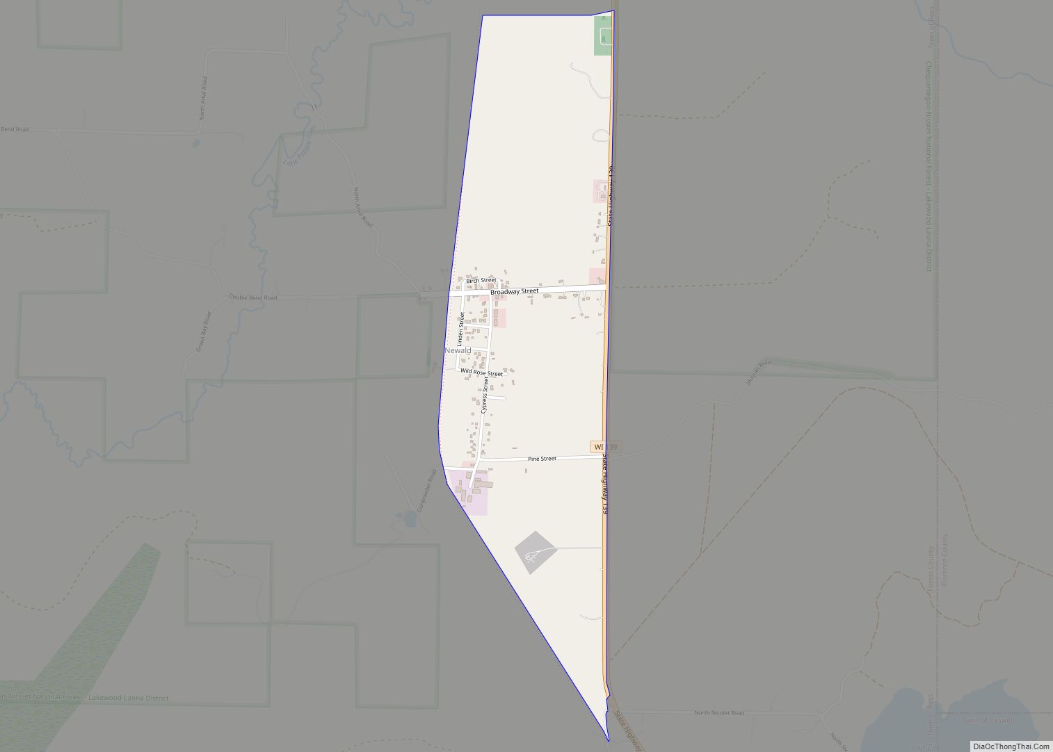
Newald (also Ross) is an unincorporated census-designated place in the town of Ross, Forest County, Wisconsin, United States. Newald is located near Wisconsin Highway 139 15 miles (24 km) northeast of Crandon. As of the 2020 census, its population was 70. Newald CDP overview: Name: Newald CDP LSAD Code: 57 LSAD Description: CDP (suffix) State: Wisconsin ... Read more
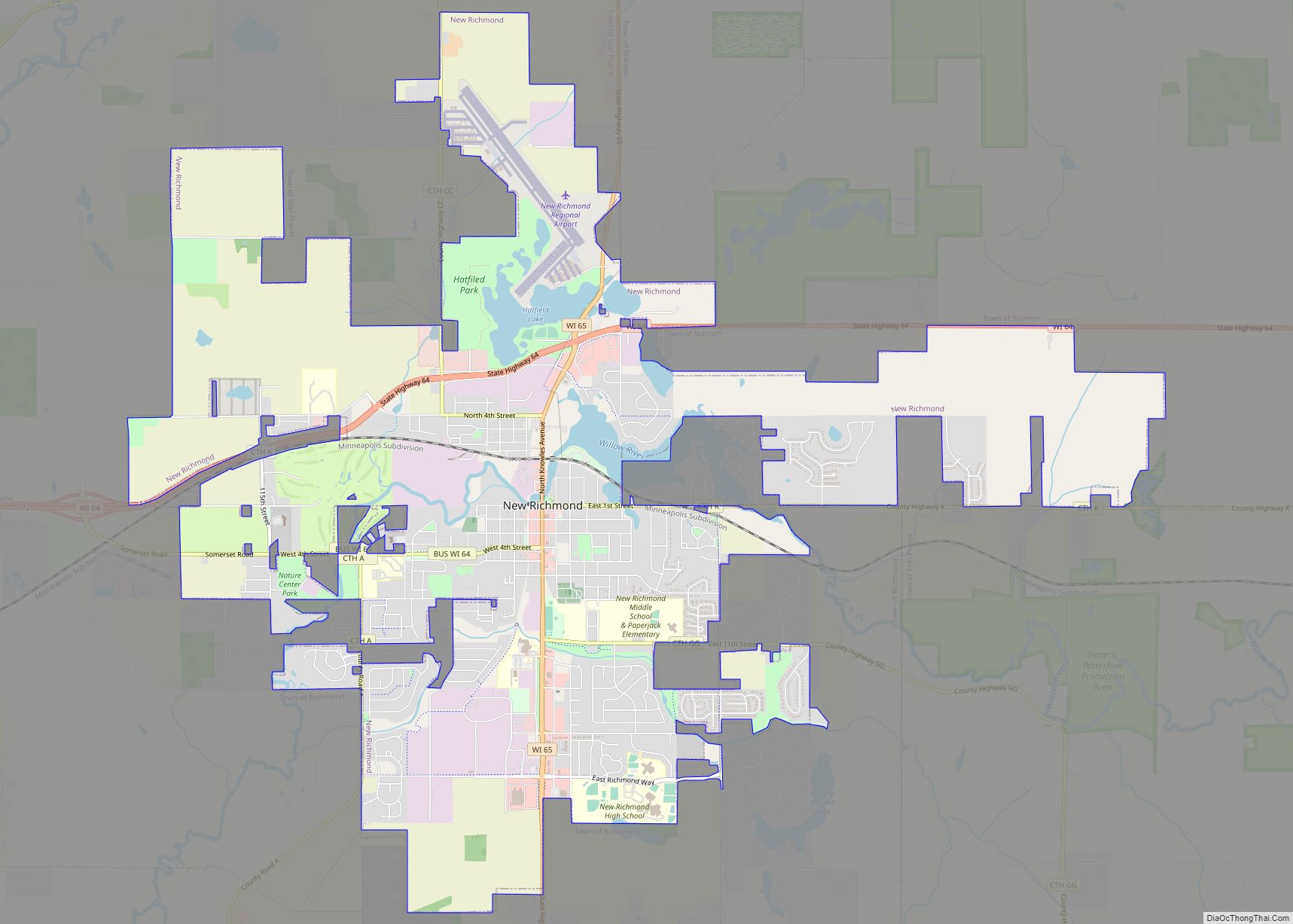
New Richmond is a city in St. Croix County, Wisconsin, United States. Its population was 10,079 as of the 2020 census. New Richmond city overview: Name: New Richmond city LSAD Code: 25 LSAD Description: city (suffix) State: Wisconsin County: St. Croix County Elevation: 981 ft (299 m) Total Area: 11.04 sq mi (28.60 km²) Land Area: 10.79 sq mi (27.94 km²) Water Area: ... Read more
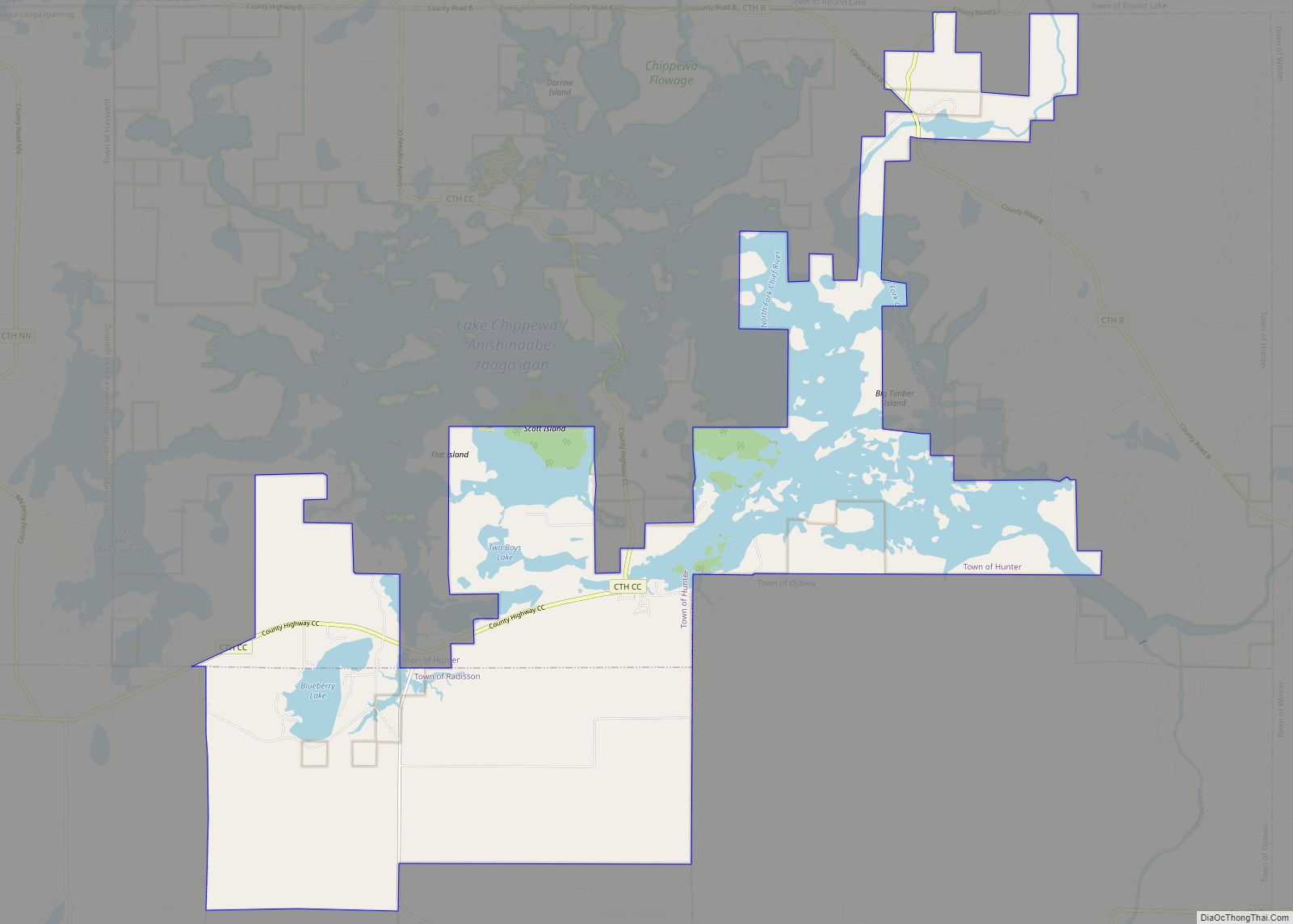
New Post is a census-designated place (CDP) in the town of Hunter, Sawyer County, Wisconsin, United States. The population was 305 at the 2010 census. New Post CDP overview: Name: New Post CDP LSAD Code: 57 LSAD Description: CDP (suffix) State: Wisconsin County: Sawyer County Elevation: 1,329 ft (405 m) Total Area: 27.4 sq mi (71 km²) Land Area: 20.5 sq mi ... Read more
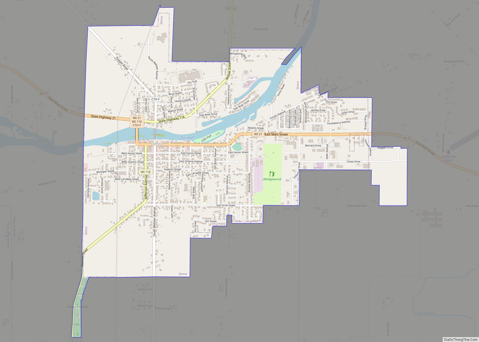
Omro is a city in Winnebago County, Wisconsin, United States. The population was 3,517 at the 2010 census. The city is located along the Fox River, approximately 10 miles west of Oshkosh, Wisconsin. Omro city overview: Name: Omro city LSAD Code: 25 LSAD Description: city (suffix) State: Wisconsin County: Winnebago County Elevation: 758 ft (231 m) Total ... Read more
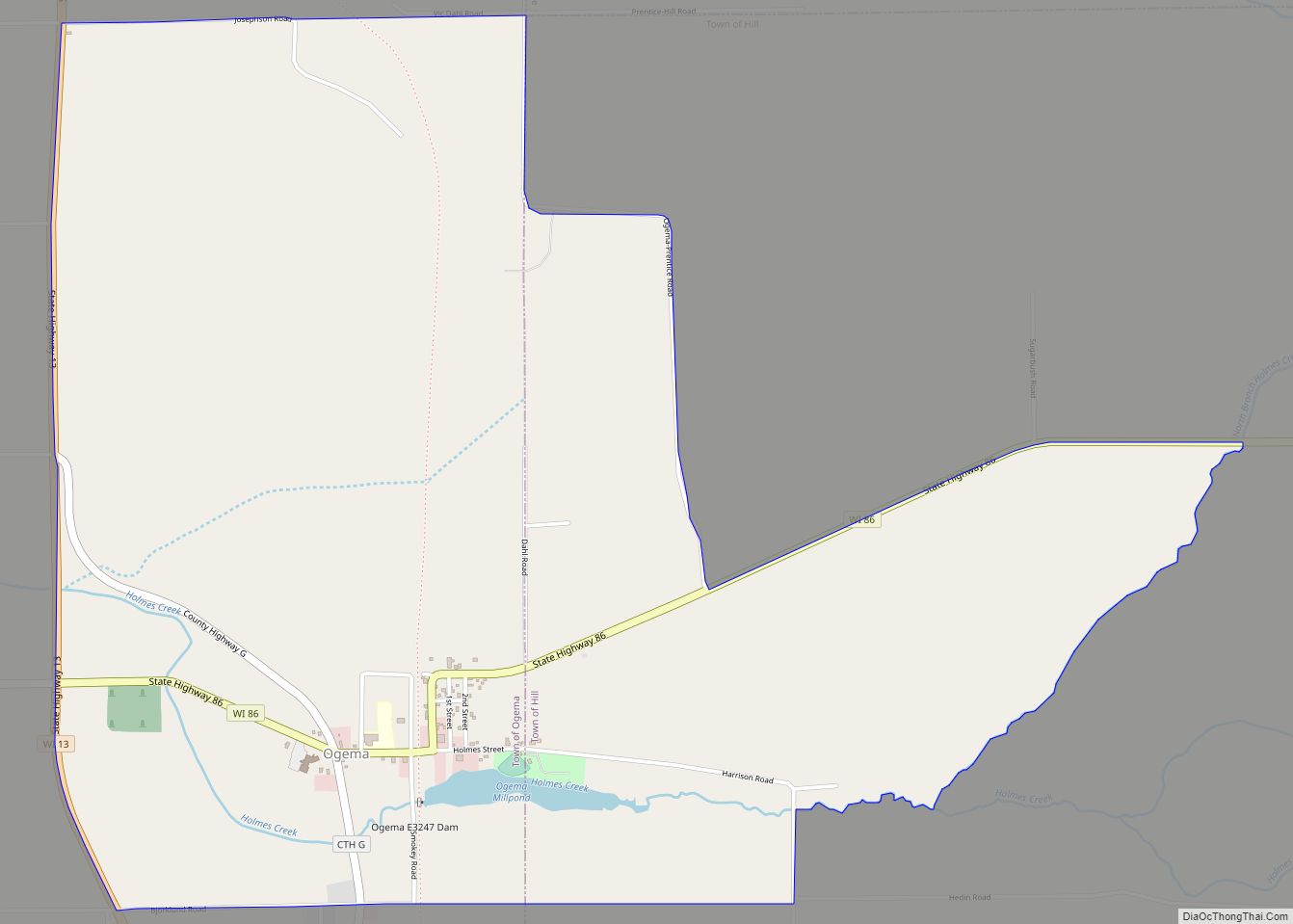
Ogema is an unincorporated census-designated place located in the town of Ogema, Price County, Wisconsin, United States. Ogema is located on Wisconsin Highway 86 near its junction with Wisconsin Highway 13, 7 miles (11 km) south of Prentice. Ogema has a post office with ZIP code 54459. As of the 2010 census, its population is 186. ... Read more
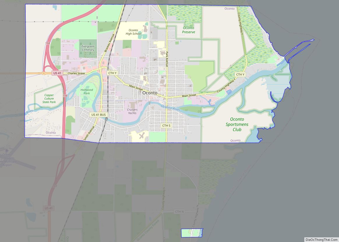
Oconto is a city in Oconto County, Wisconsin, United States. The population was 4,609 at the 2020 census. It is part of the Green Bay Metropolitan Statistical Area. The city is located partially within the town of Oconto. Oconto city overview: Name: Oconto city LSAD Code: 25 LSAD Description: city (suffix) State: Wisconsin County: Oconto ... Read more
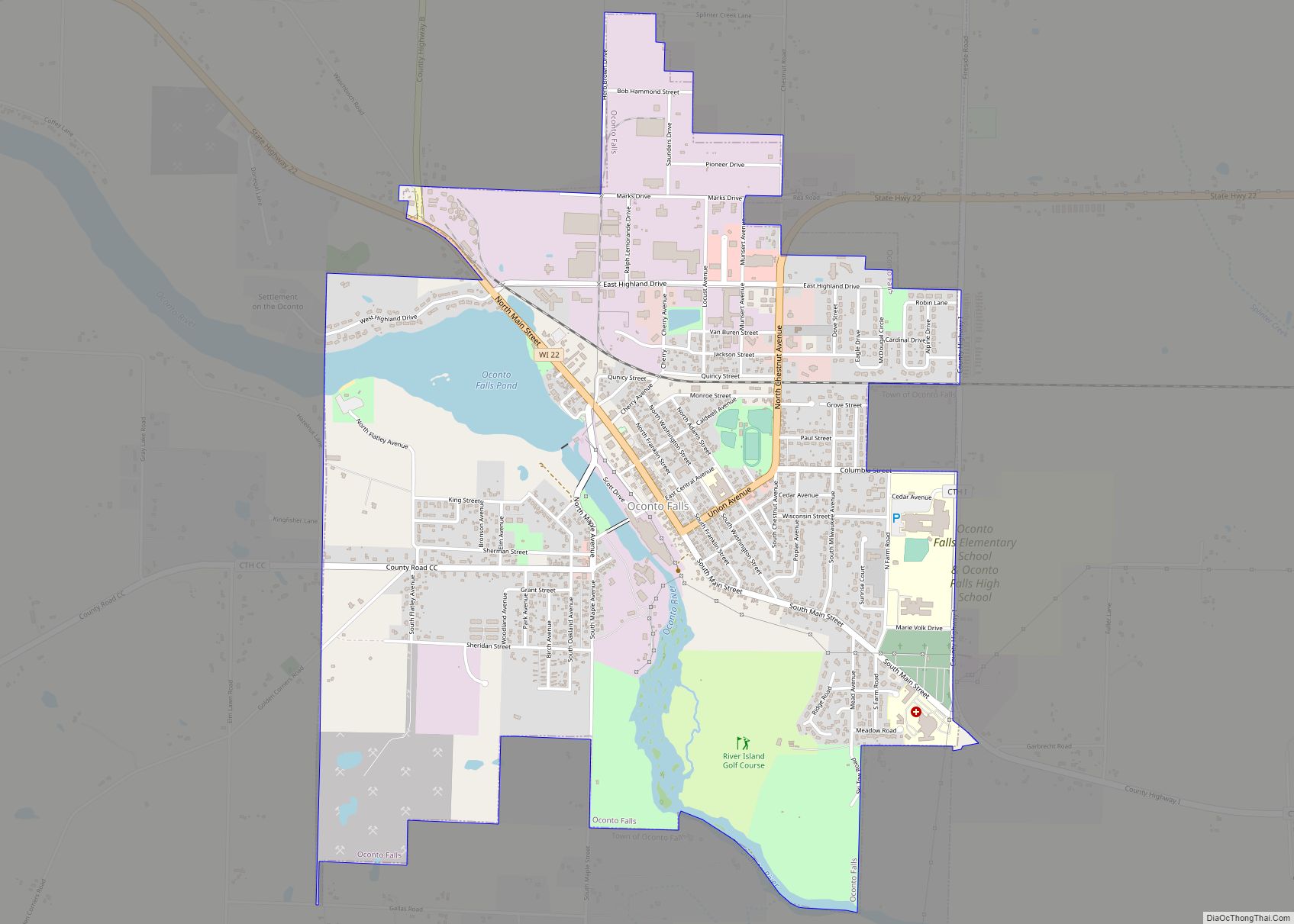
Oconto Falls is a city in Oconto County, Wisconsin, United States. The population was 2,891 at the 2010 census. It is part of the Green Bay Metropolitan Statistical Area. Oconto Falls city overview: Name: Oconto Falls city LSAD Code: 25 LSAD Description: city (suffix) State: Wisconsin County: Oconto County Total Area: 2.93 sq mi (7.59 km²) Land Area: ... Read more
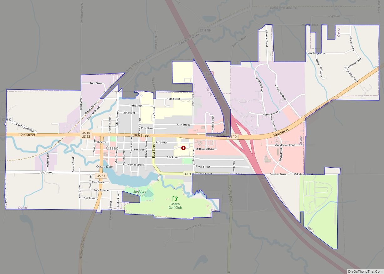
Osseo is a city located in Trempealeau County, Wisconsin, at the confluence of the North and South Forks of the Buffalo River. The population was 1,701 at the 2010 census. Osseo city overview: Name: Osseo city LSAD Code: 25 LSAD Description: city (suffix) State: Wisconsin County: Trempealeau County Elevation: 958 ft (292 m) Total Area: 2.07 sq mi (5.36 km²) ... Read more
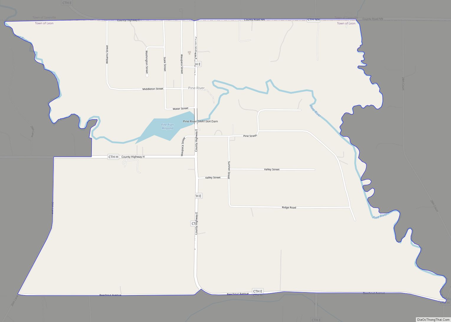
Pine River is a census-designated place in Waushara County, Wisconsin, United States. The community is located at the intersection of County H and County E, in the town of Leon. As of the 2010 census, its population is 147. Pine River CDP overview: Name: Pine River CDP LSAD Code: 57 LSAD Description: CDP (suffix) State: ... Read more
