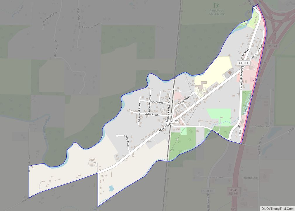
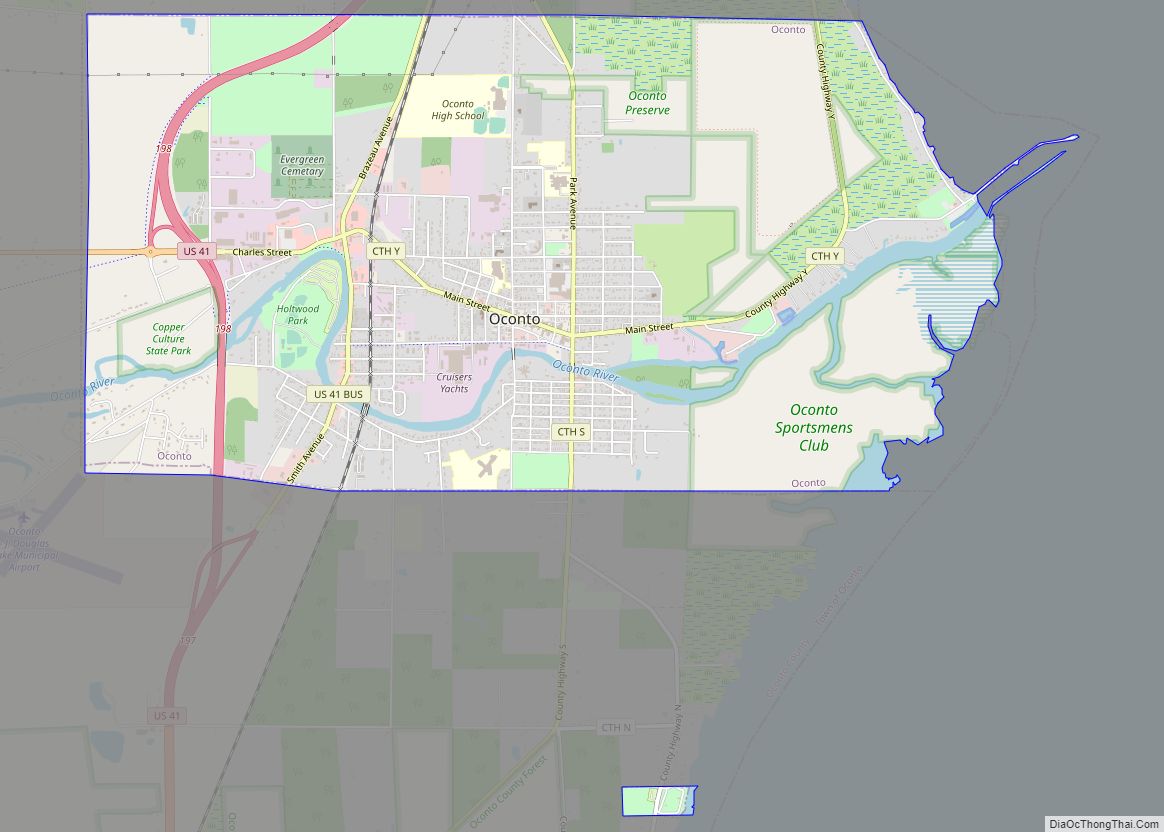
Oconto is a city in Oconto County, Wisconsin, United States. The population was 4,609 at the 2020 census. It is part of the Green Bay Metropolitan Statistical Area. The city is located partially within the town of Oconto.
| Name: | Oconto city |
|---|---|
| LSAD Code: | 25 |
| LSAD Description: | city (suffix) |
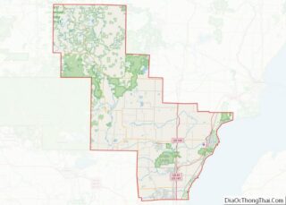
| State: | Wisconsin |
| County: | Oconto County |
| Total Area: | 7.14 sq mi (18.48 km²) |
| Land Area: | 6.79 sq mi (17.57 km²) |
| Water Area: | 0.35 sq mi (0.91 km²) |
| Total Population: | 4,609 |
| Population Density: | 679.3/sq mi (262.3/km²) |
| ZIP code: | 54153 |
| Area code: | 920 |
| FIPS code: | 5559350 |
| Website: | cityofoconto.com |
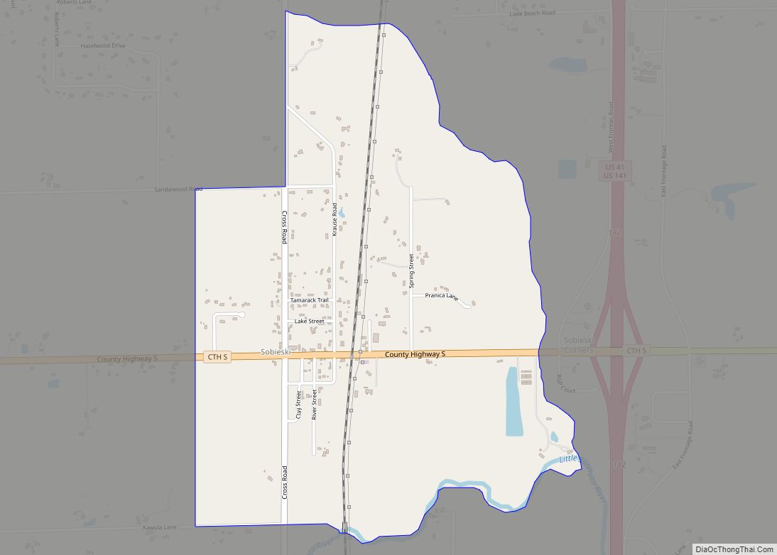
Online Interactive Map
Click on ![]() to view map in "full screen" mode.
to view map in "full screen" mode.
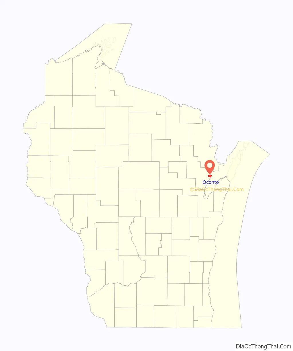
Oconto location map. Where is Oconto city?

History
Oconto is home to Copper Culture State Park, which has remains dated to around 5000-6000 B.C. It is a burial ground of the Copper Culture Indians. This burial ground is considered to be the oldest cemetery in Wisconsin and one of the oldest in the nation. Their descendants include the Menominee, who have lived here for thousands of years.
The first Europeans to come to the area were the French, who considered it to be part of New France. The French Jesuit, Roman Catholic priest, and missionary, Father Claude-Jean Allouez said the first Mass in Oconto on December 3, 1669. The Menominee living here began participating in the fur trade network and converting to Christianity. This area was included in the land ceded by the Menominee to the United States government in the 1836 Treaty of the Cedars. In this treaty, the Menominee ceded over four million acres of land after years of negotiations about how to accommodate the Oneida, Stockbridge-Munsee, and Brothertown peoples who were being removed from New York to Wisconsin. Following the treaty, the land became officially available for American settlement, although soldiers and lumberers had already been here for some time. The same year the Treaty of the Cedars was signed, George Lurwick bought a home and sawmill along the Oconto River, becoming the town’s first private land owner now that the land had been sold to the United States.
The city of Oconto was incorporated in 1869. The city took its name from the nearby Oconto River. The name Okāqtow is a Menominee name meaning “the place of the pike”, one of several pike-related place-names in the area.
The first Christian Science church in the world was erected in 1886 in Oconto and still stands at the corner of Main Street and Chicago Street. The land was donated by Henry (1837–1904) and Victoria Sargent (1848–1930).
In the summer of 1952, during a two-day period, an estimated 175,000,000 Leopard frogs emerged from nearby marshes and enveloped the town. The water level of Lake Michigan rose in the spring, flooding the wetlands. The Leopard frogs laid their eggs, and when the lake level receded with the heat of summer, most of the eggs would die. But in 1952, Lake Michigan remained high, and a huge number of frog eggs grew into live amphibians.
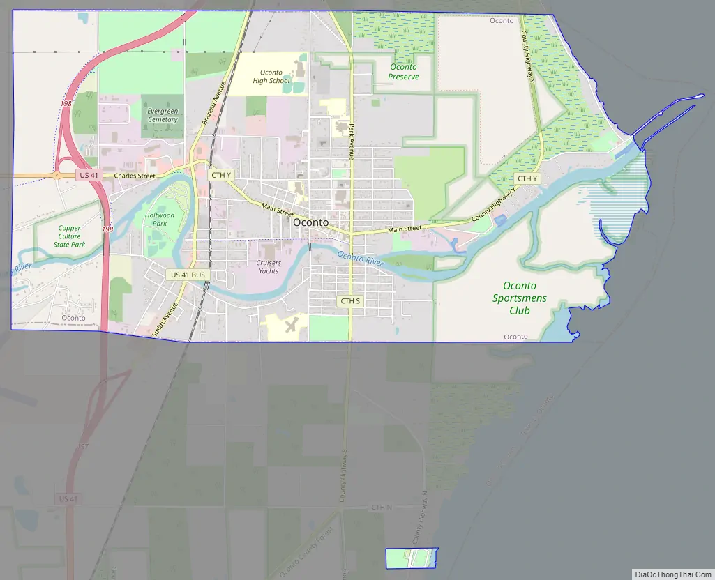
Oconto Road Map
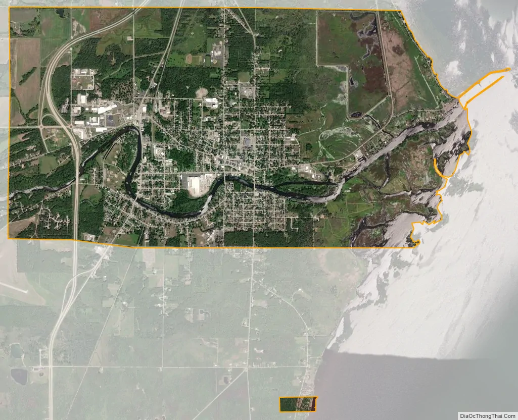
Oconto city Satellite Map
Geography
Oconto is located at 44°53′N 87°52′W / 44.883°N 87.867°W / 44.883; -87.867 (44.8877, -87.8704).
According to the United States Census Bureau, the city has a total area of 7.14 square miles (18.49 km), of which, 6.79 square miles (17.59 km) is land and 0.35 square miles (0.91 km) is water.
Oconto is located at the mouth of the Oconto River, which feeds into Lake Michigan.
See also
Map of Wisconsin State and its subdivision:- Adams
- Ashland
- Barron
- Bayfield
- Brown
- Buffalo
- Burnett
- Calumet
- Chippewa
- Clark
- Columbia
- Crawford
- Dane
- Dodge
- Door
- Douglas
- Dunn
- Eau Claire
- Florence
- Fond du Lac
- Forest
- Grant
- Green
- Green Lake
- Iowa
- Iron
- Jackson
- Jefferson
- Juneau
- Kenosha
- Kewaunee
- La Crosse
- Lafayette
- Lake Michigan
- Lake Superior
- Langlade
- Lincoln
- Manitowoc
- Marathon
- Marinette
- Marquette
- Menominee
- Milwaukee
- Monroe
- Oconto
- Oneida
- Outagamie
- Ozaukee
- Pepin
- Pierce
- Polk
- Portage
- Price
- Racine
- Richland
- Rock
- Rusk
- Saint Croix
- Sauk
- Sawyer
- Shawano
- Sheboygan
- Taylor
- Trempealeau
- Vernon
- Vilas
- Walworth
- Washburn
- Washington
- Waukesha
- Waupaca
- Waushara
- Winnebago
- Wood
- Alabama
- Alaska
- Arizona
- Arkansas
- California
- Colorado
- Connecticut
- Delaware
- District of Columbia
- Florida
- Georgia
- Hawaii
- Idaho
- Illinois
- Indiana
- Iowa
- Kansas
- Kentucky
- Louisiana
- Maine
- Maryland
- Massachusetts
- Michigan
- Minnesota
- Mississippi
- Missouri
- Montana
- Nebraska
- Nevada
- New Hampshire
- New Jersey
- New Mexico
- New York
- North Carolina
- North Dakota
- Ohio
- Oklahoma
- Oregon
- Pennsylvania
- Rhode Island
- South Carolina
- South Dakota
- Tennessee
- Texas
- Utah
- Vermont
- Virginia
- Washington
- West Virginia
- Wisconsin
- Wyoming