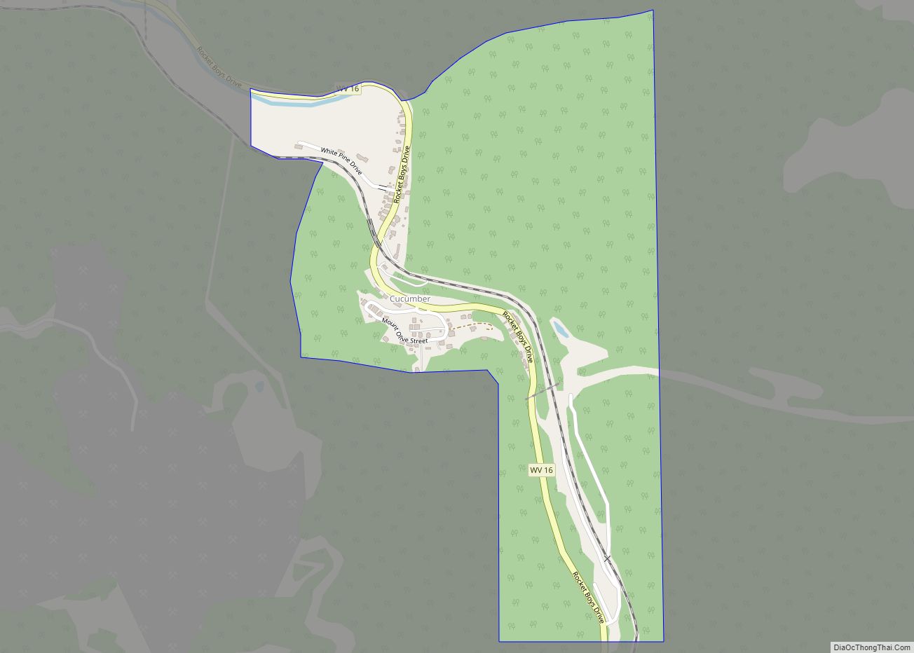
Cucumber is a census-designated place (CDP) in McDowell County, West Virginia, United States. Its population was 74 at the 2020 census. The community is centered on mining. Named either for nearby Cucumber Creek or for the cucumber trees in the area, it is the only community in the United States with this name. Its post ... Read more
Map of US Cities and Places
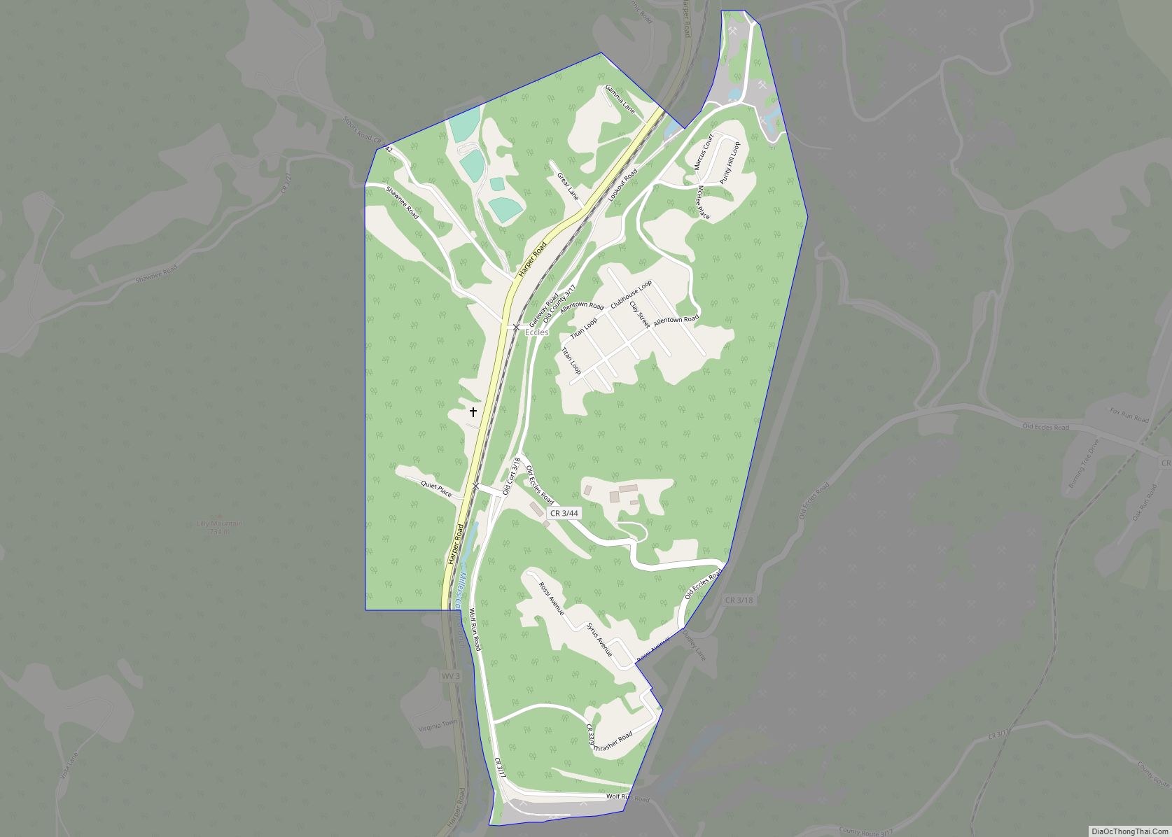
Eccles is a census-designated place (CDP) in Raleigh County, West Virginia, United States. Eccles is located on West Virginia Route 3, 4 miles (6.4 km) west of Beckley. Eccles has a post office with ZIP code 25836. As of the 2010 census, its population is 362. The community was originally named after the book Ecclesiastes, where ... Read more
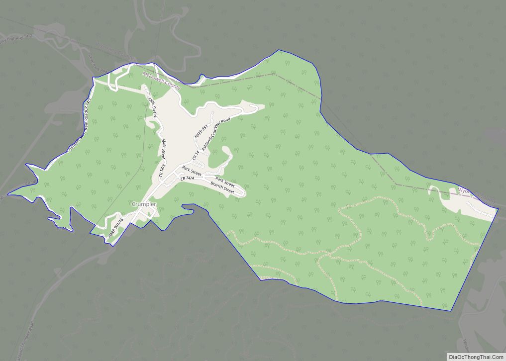
Crumpler is a census-designated place (CDP) located in McDowell County, West Virginia, United States. As of the 2010 census, its population was 204. Crumpler CDP overview: Name: Crumpler CDP LSAD Code: 57 LSAD Description: CDP (suffix) State: West Virginia County: McDowell County Total Area: 1.500 sq mi (3.88 km²) Land Area: 1.500 sq mi (3.88 km²) Water Area: 0 sq mi (0 km²) Total ... Read more
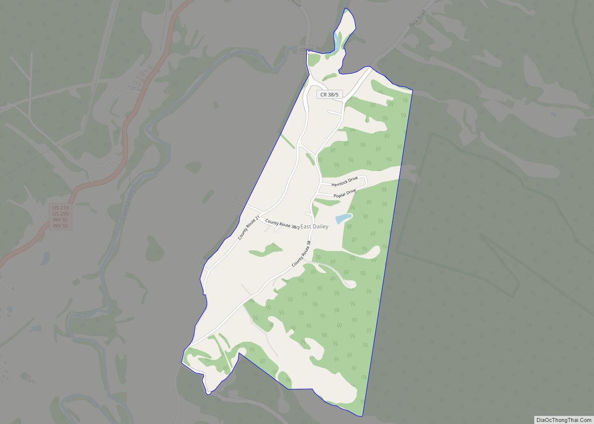
East Dailey is a census-designated place (CDP) in Randolph County, West Virginia, United States. As of the 2010 census, its population was 557. It is located within the Monongahela National Forest adjacent to the Tygart Valley River. East Dailey and its Old Timer’s Camp are host to the Elkhenge Music Festival. East Dailey CDP overview: ... Read more
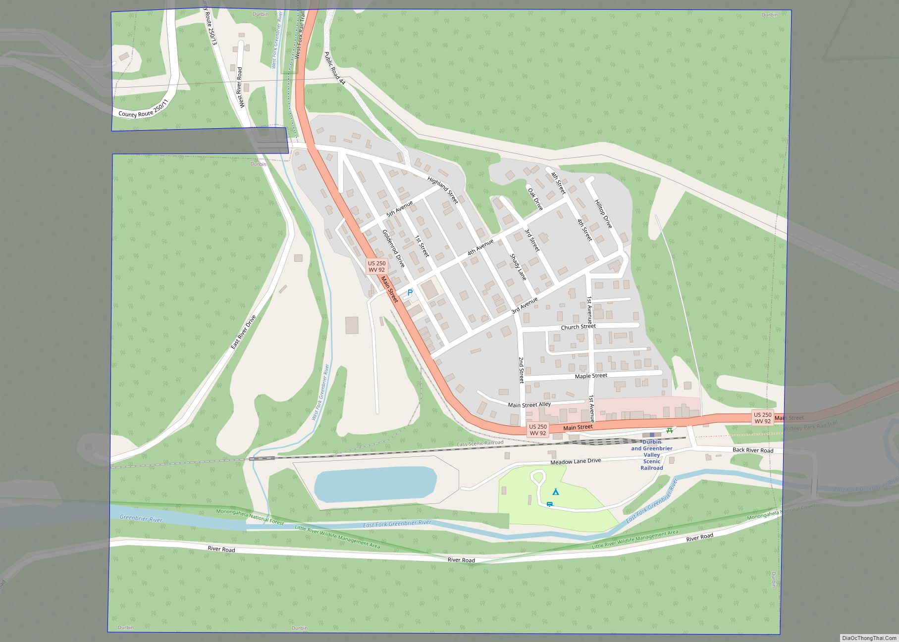
Durbin is a town in Pocahontas County, West Virginia, United States. The population was 235 at the 2020 census. The town has the name of Charles R. Durbin, a local bank official. Durbin town overview: Name: Durbin town LSAD Code: 43 LSAD Description: town (suffix) State: West Virginia County: Pocahontas County Elevation: 2,738 ft (835 m) Total ... Read more
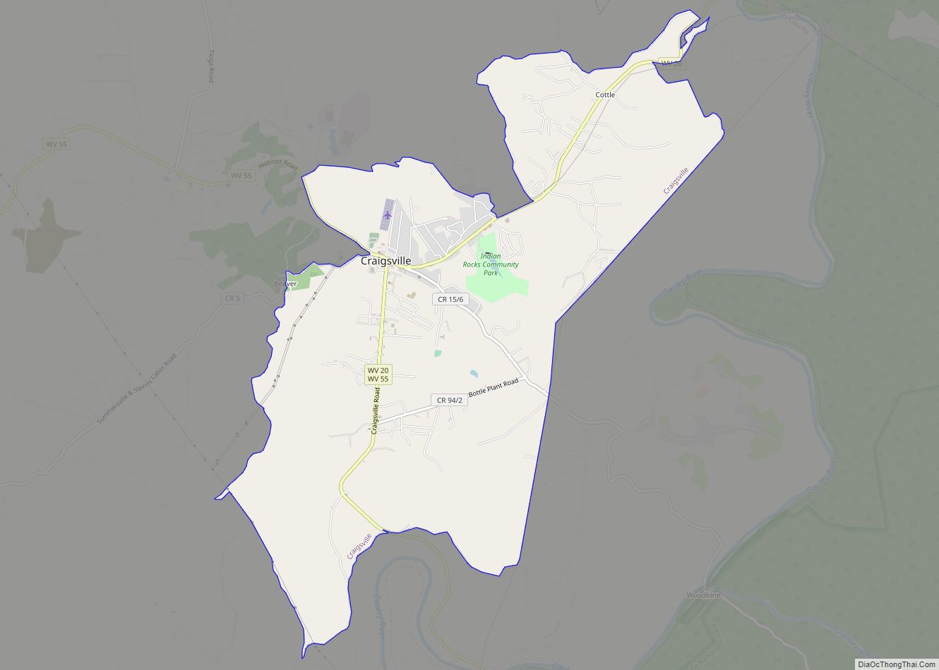
Craigsville is a census-designated place (CDP) in Nicholas County, West Virginia, United States. The population was 2,213 at the 2010 census. Craigsville CDP overview: Name: Craigsville CDP LSAD Code: 57 LSAD Description: CDP (suffix) State: West Virginia County: Nicholas County Elevation: 2,313 ft (705 m) Total Area: 6.1 sq mi (15.7 km²) Land Area: 6.1 sq mi (15.7 km²) Water Area: 0.0 sq mi (0.0 km²) ... Read more
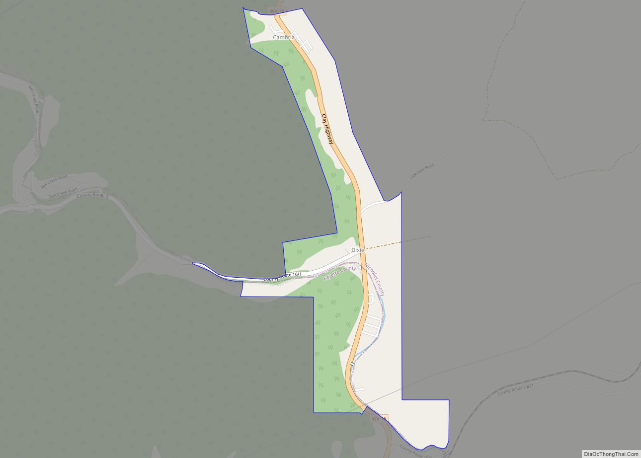
Dixie is a census-designated place (CDP) in Fayette and Nicholas counties, West Virginia, United States. Dixie is located on West Virginia Route 16, 5.5 miles (8.9 km) north of Gauley Bridge. Dixie has a post office with ZIP code 25059. As of the 2010 census, its population was 291, with 202 residents in Nicholas County and ... Read more
Fairview is a town in Marion County, West Virginia, United States. The population was 374 at the 2020 census. The town took its name from the old Fairview Inn near the original town site. Fairview town overview: Name: Fairview town LSAD Code: 43 LSAD Description: town (suffix) State: West Virginia County: Marion County Elevation: 1,001 ft ... Read more
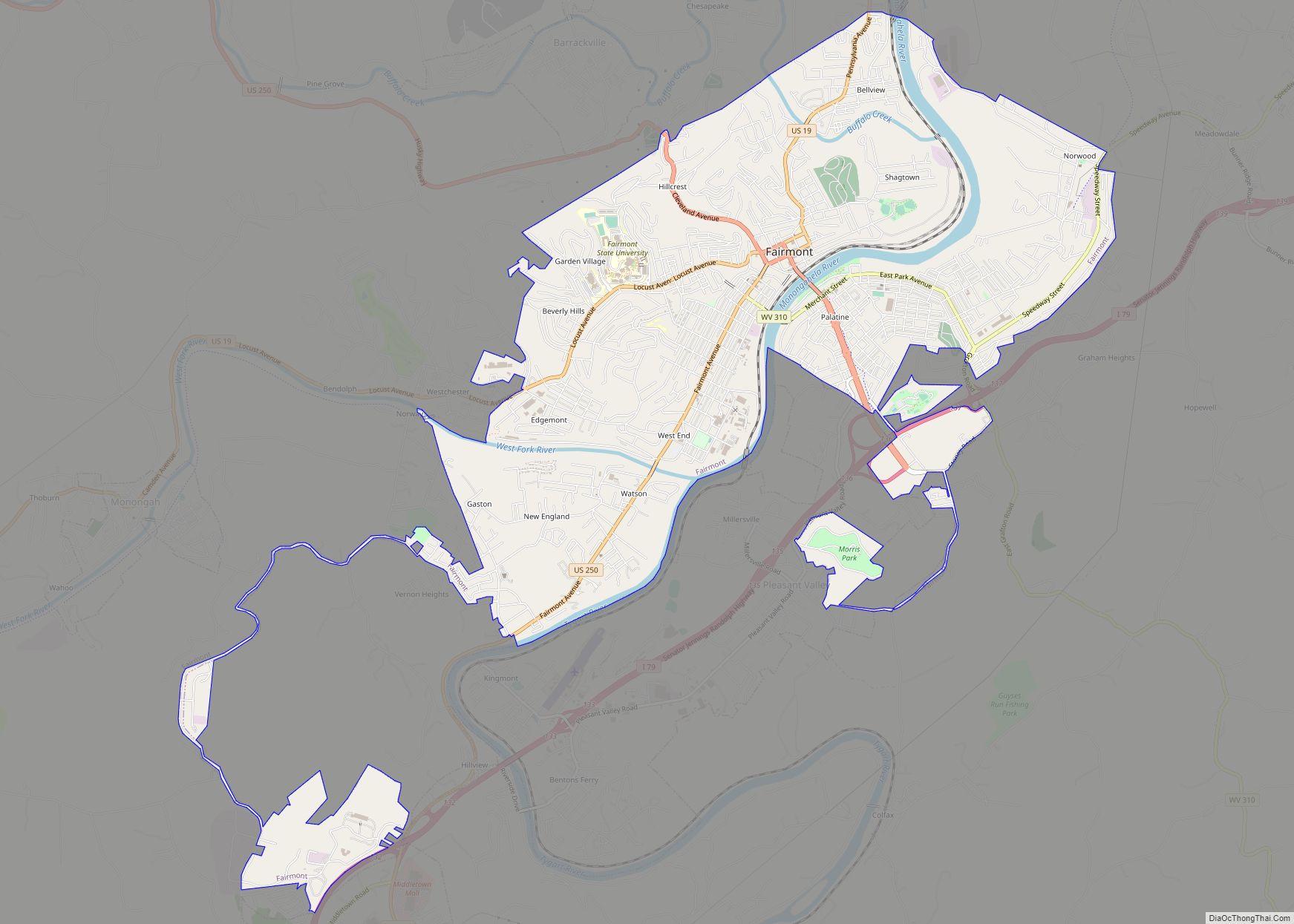
Fairmont is a city in and county seat of Marion County, West Virginia, United States. The population was 18,313 at the 2020 census, making it the eighth-largest city in the state. It is the principal city of the Fairmont micropolitan area, which includes all of Marion County in North Central West Virginia, and is the ... Read more
Enterprise is a census-designated place (CDP) in Harrison County, West Virginia, United States, along the West Fork River. The population was 961 at the 2010 census. Enterprise CDP overview: Name: Enterprise CDP LSAD Code: 57 LSAD Description: CDP (suffix) State: West Virginia County: Harrison County Elevation: 951 ft (290 m) Total Area: 2.9 sq mi (7.6 km²) Land Area: 2.9 sq mi ... Read more
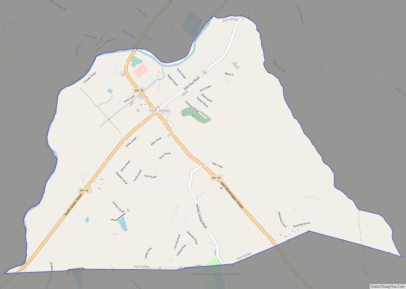
Fort Ashby is a census-designated place (CDP) in Mineral County, West Virginia, United States, along Patterson Creek. It is part of the Cumberland, MD–WV Metropolitan Statistical Area. The population was 1,380 at the 2010 census. The community was originally chartered as Frankfort and then known as Alaska before it took the name of its well-known ... Read more
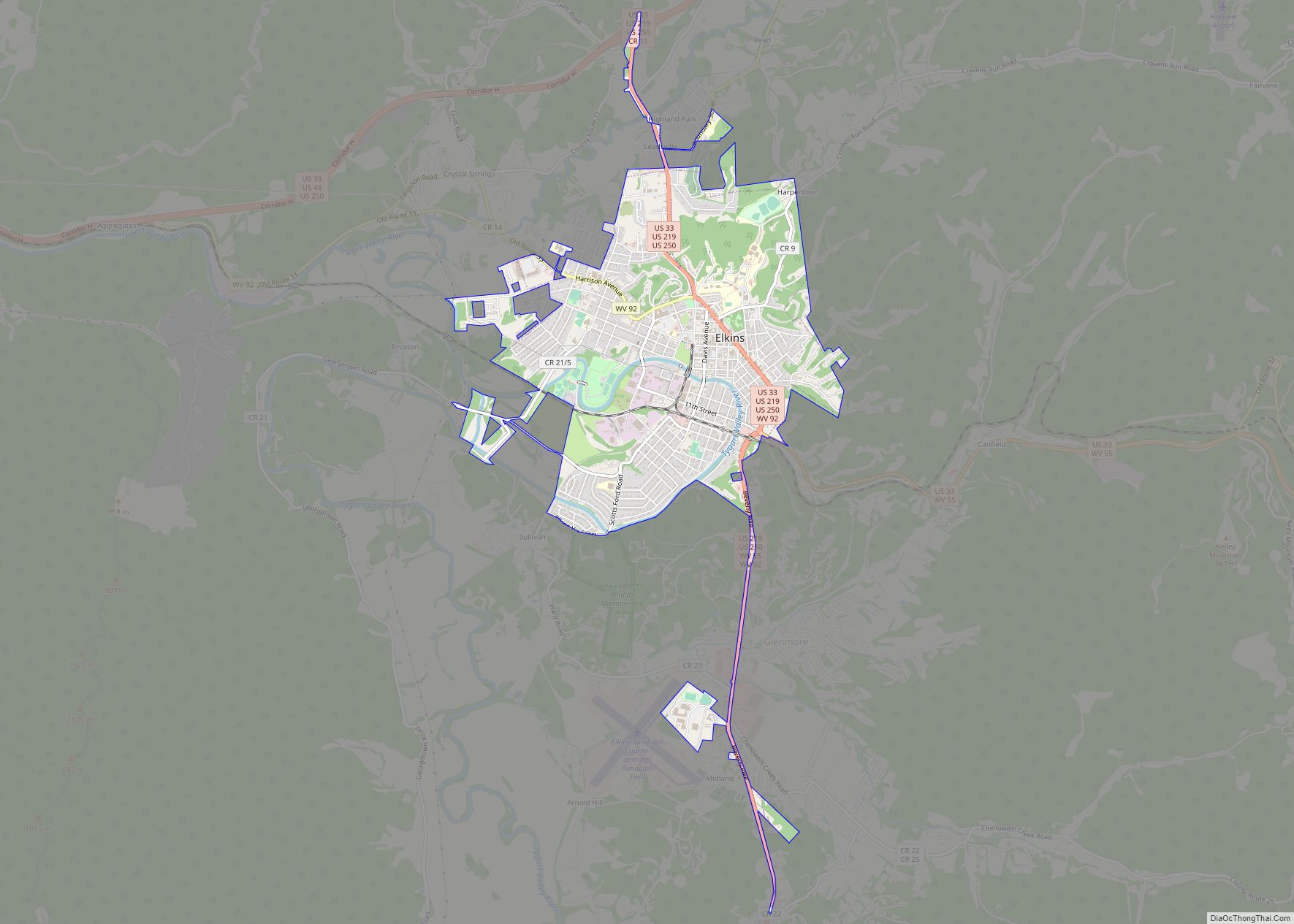
Elkins is a city in and the county seat of Randolph County, West Virginia, United States, along the Tygart Valley River. The community was incorporated in 1890 and named in honor of Stephen Benton Elkins, a U.S. Senator from West Virginia. The population was 6,950 at the 2020 census and estimated at 6,895 in 2021. ... Read more
