Fairmont is a city in and county seat of Marion County, West Virginia, United States. The population was 18,313 at the 2020 census, making it the eighth-largest city in the state. It is the principal city of the Fairmont micropolitan area, which includes all of Marion County in North Central West Virginia, and is the second-largest city of the larger Morgantown–Fairmont combined statistical area.
| Name: | Fairmont city |
|---|---|
| LSAD Code: | 25 |
| LSAD Description: | city (suffix) |
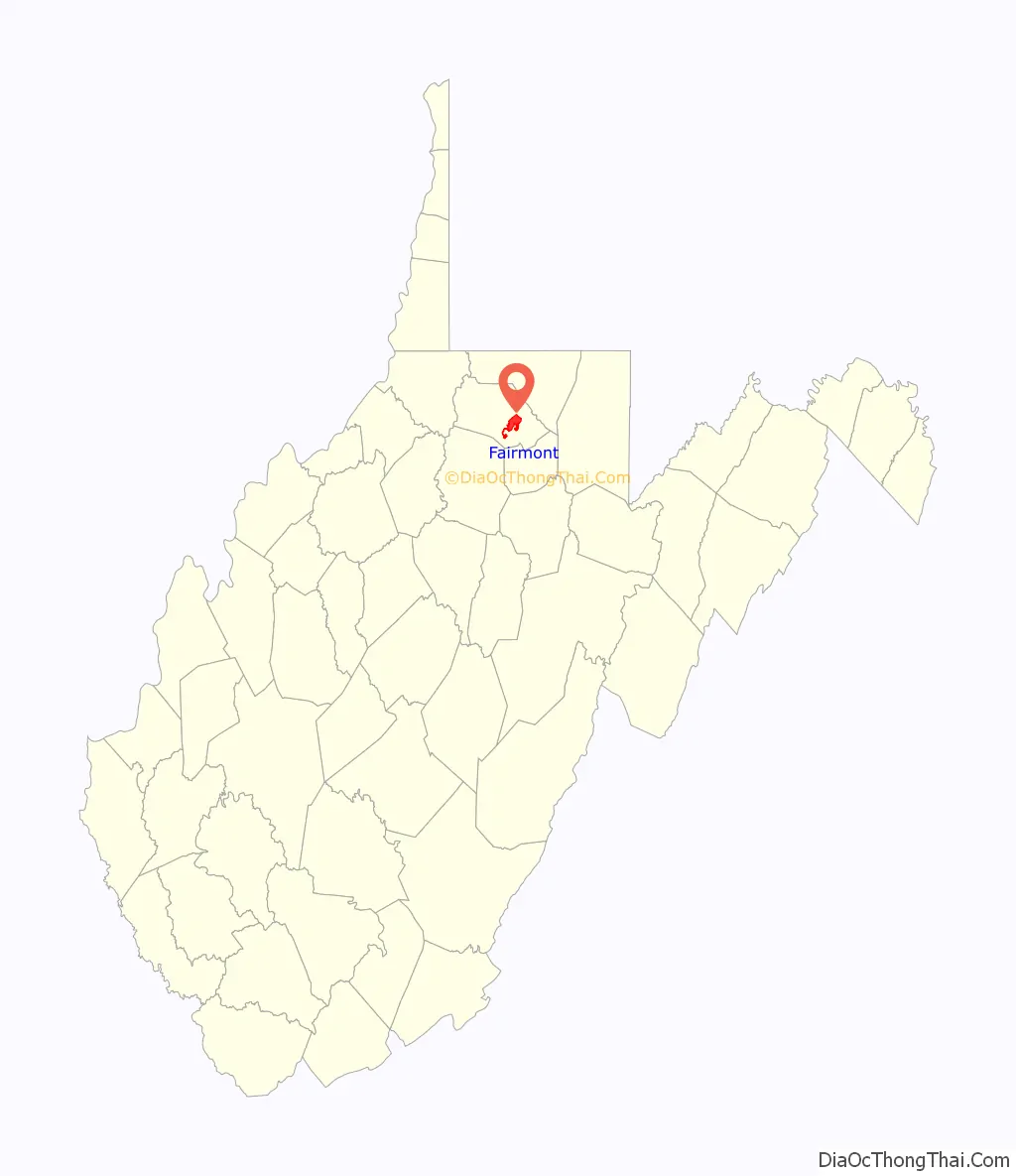
| State: | West Virginia |
| County: | Marion County |
| Elevation: | 984 ft (300 m) |
| Total Area: | 8.99 sq mi (23.27 km²) |
| Land Area: | 8.60 sq mi (22.28 km²) |
| Water Area: | 0.38 sq mi (0.99 km²) |
| Total Population: | 18,313 |
| Population Density: | 2,137.64/sq mi (825.36/km²) |
| ZIP code: | 26554-26555 |
| Area code: | 304 |
| FIPS code: | 5426452 |
| GNISfeature ID: | 1560581 |
| Website: | fairmontwv.gov |
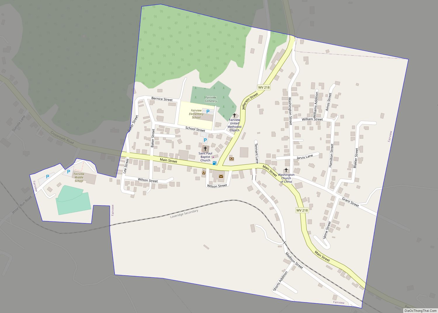
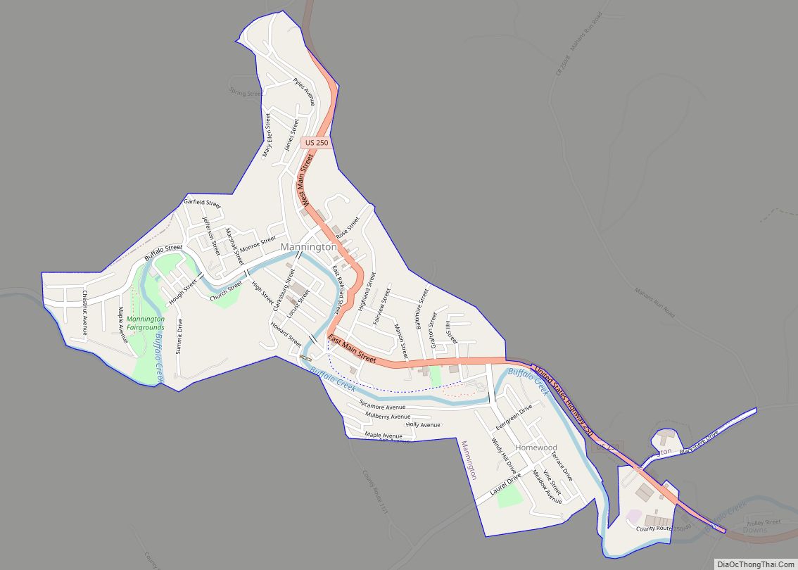
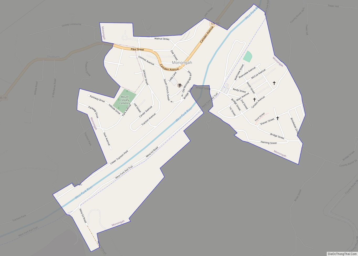
Online Interactive Map
Click on ![]() to view map in "full screen" mode.
to view map in "full screen" mode.
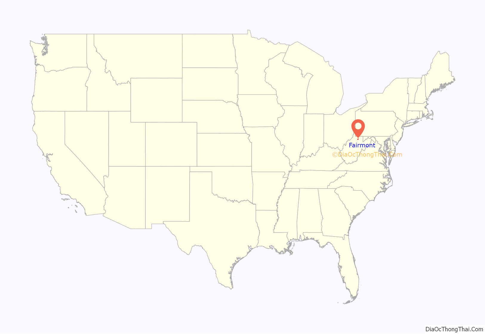
Fairmont location map. Where is Fairmont city?
History
Early settlements
In the eighteenth century, the earliest development of Fairmont consisted of subsistence farming settlements.
In 1789, Boaz Fleming, a Revolutionary War veteran, migrated to western Virginia and purchased a 254-acre farm from Jonathan Bozarth. In 1808, Fleming made his annual trek to Clarksburg to pay his brother’s Harrison County taxes. While in Clarksburg, Fleming attended a social gathering that included his cousin Dolley Madison, wife of President James Madison. Fleming complained to Mrs. Madison about having to travel over a hundred miles each year from his home to pay his Monongalia County taxes and his brother’s Harrison County taxes. Mrs. Madison supposedly suggested that he create his own county to save him all that travel. In 1814, Fleming circulated a petition to do precisely that, naming the proposed county Madison County in honor of Dolley and James Madison.
Milford, now Rivesville, was the only town within the borders of Fleming’s proposed county, so Fleming decided to make Milford the seat of Madison County. However, Milford’s citizens preferred to remain part of Monongalia County. As a result, Fleming’s petition failed to gain sufficient support to be presented to the Virginia General Assembly. Fleming then focused on creating a new town near his farm, which was located on the west side of the Monongahela River. In 1817, Fleming’s sons—William and David—began to clear land on a part of their father’s farm to make way for the new town; this part of the farm would later become downtown Fairmont.
Modern history
In 1819, Fairmont was founded as Middletown, Virginia. It was named Middletown because either it was in the middle of two cities, Morgantown and Clarksburg, or Fleming’s first wife, Elizabeth Hutchinson, was originally from Middletown, Delaware. That same year, a road was built between those two cities. Fleming’s new town was about halfway between the two cities, which made it a resting point. The town was incorporated as Middletown on January 19, 1820.
The current borders of Marion County were established in 1842, and Middletown was named the county’s seat. At that time, William Haymond Jr. suggested that the town’s name be changed to Fairmont because the town had a beautiful overlook of the Monongahela River, giving it a “fair mount”. The Borough of Fairmont was incorporated in 1843 by the Virginia General Assembly.
In 1863, during the American Civil War, Confederate General William E. Jones and his men raided Fairmont and cut the Union’s supply lines to take food and horses. They also burned the books from the personal library of Governor Francis Harrison Pierpont.
Many of the first buildings in Fairmont were poorly constructed. By 1852—little more than 30 years after the city’s founding—a large portion of Fairmont was reported to be run-down and dilapidated. Reports from 1873 indicate that these buildings had continued to fall into disrepair. On April 2, 1876, a fire destroyed a large portion of the city’s business district, as well as many houses in the area. The continuing dilapidation of the city’s buildings may have contributed to the fire; the large number of coal mines under Fairmont may have also played a role.
Between 1891 and 1901—in a span of only 10 years—Fairmont’s population had increased from 1,000 to 7,000. The City of Fairmont was chartered in 1899; as a result of the charter, the city absorbed the surrounding towns of Palatine (also known as East Side) and West Fairmont. By 1901, Fairmont was an important commercial center. Many railroads—including the Baltimore and Ohio Railroad on its way from Cumberland, Maryland to Wheeling—traveled through the city. By this time, Fairmont was also the leading center of the coal trade industry in northern West Virginia, employing some 10,000 workers in the coal mines around Fairmont.
By 1978, an issue with Fairmont’s land experiencing subsidence appeared because the remains of Fairmont’s 19th-century coal mines were crumbling. As a result, over the following years, the federal government along with other institutions spent money to fix the subsidence issue to prevent damage to the town.
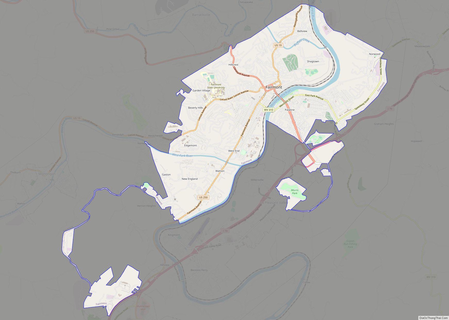
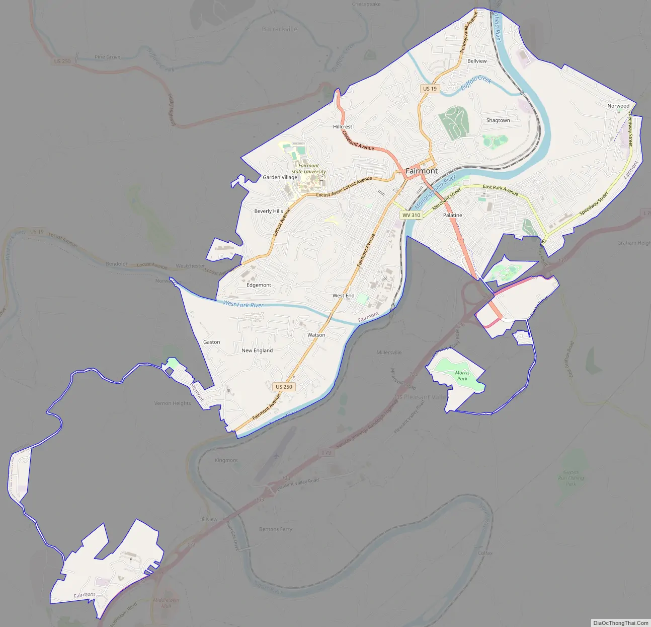
Fairmont Road Map
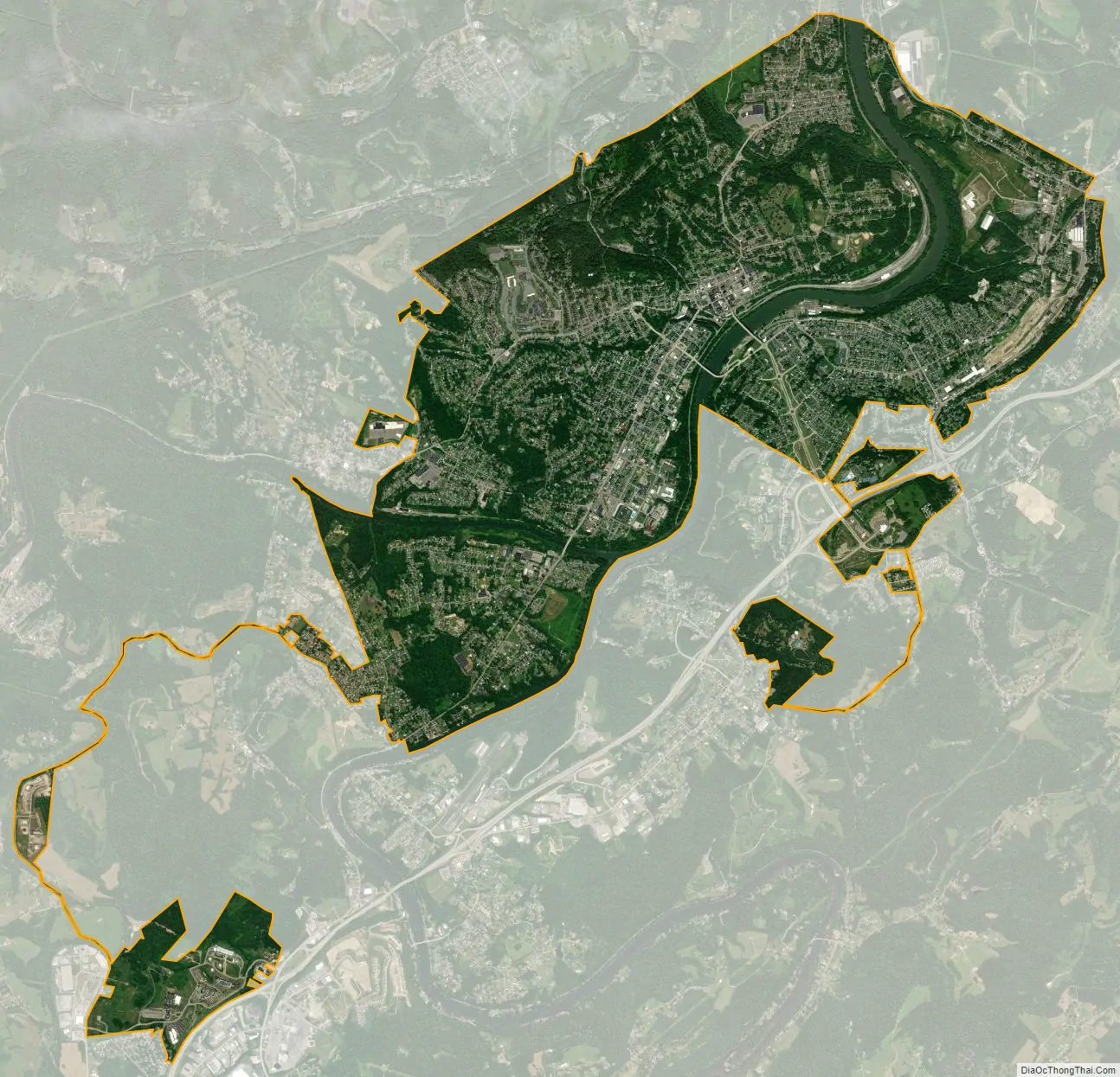
Fairmont city Satellite Map
Geography
The Tygart Valley River and the West Fork River join in Fairmont to form the Monongahela River. Buffalo Creek, a tributary of the Monongahela River, flows through the northern part of the city.
According to the United States Census Bureau, the city has a total area of 9.00 square miles (23.31 km), of which 8.62 square miles (22.33 km) is land and 0.38 square miles (0.98 km) is water.
Climate
Fairmont has a humid continental climate (Köppen Dfa) with very warm summers and freezing winters. However, it is not uncommon during winter for warm air from the Gulf of Mexico to raise temperatures above 50 °F or 10 °C, which occurs on average six times each January and over eight in December and February. In contrast, when very cold air from Canada moves into West Virginia temperatures can go below 0 °F or −17.8 °C, which can be expected during 3.2 mornings each winter, but which occurred on twelve mornings during the extremely cold January 1977, whose average temperature of 16.0 °F or −8.9 °C was the coldest month on record by 4.0 °F or 2.2 °C. Despite the abundant precipitation throughout the year, the relative dryness of cold air means that most precipitation is rain even during the winter: the most snowfall in a month being 46.5 inches (1.18 m) is November 1950, and the most in a season 77.4 inches (1.97 m) between July 1950 and June 1951. The least snow in a season has been 12.0 inches (0.30 m) between July 1918 and June 1919, whilst the wettest calendar year has been 1956 with 58.12 inches (1,476.2 mm) and the driest – as with all of West Virginia – 1930 with 26.25 inches (666.8 mm). The hottest temperature has been 108 °F (42.2 °C) on August 8, 1918, and the coldest −21 °F (−29.4 °C) on January 21, 1994.
See also
Map of West Virginia State and its subdivision:- Barbour
- Berkeley
- Boone
- Braxton
- Brooke
- Cabell
- Calhoun
- Clay
- Doddridge
- Fayette
- Gilmer
- Grant
- Greenbrier
- Hampshire
- Hancock
- Hardy
- Harrison
- Jackson
- Jefferson
- Kanawha
- Lewis
- Lincoln
- Logan
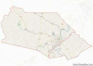
- Marion
- Marshall
- Mason
- McDowell
- Mercer
- Mineral
- Mingo
- Monongalia
- Monroe
- Morgan
- Nicholas
- Ohio
- Pendleton
- Pleasants
- Pocahontas
- Preston
- Putnam
- Raleigh
- Randolph
- Ritchie
- Roane
- Summers
- Taylor
- Tucker
- Tyler
- Upshur
- Wayne
- Webster
- Wetzel
- Wirt
- Wood
- Wyoming
- Alabama
- Alaska
- Arizona
- Arkansas
- California
- Colorado
- Connecticut
- Delaware
- District of Columbia
- Florida
- Georgia
- Hawaii
- Idaho
- Illinois
- Indiana
- Iowa
- Kansas
- Kentucky
- Louisiana
- Maine
- Maryland
- Massachusetts
- Michigan
- Minnesota
- Mississippi
- Missouri
- Montana
- Nebraska
- Nevada
- New Hampshire
- New Jersey
- New Mexico
- New York
- North Carolina
- North Dakota
- Ohio
- Oklahoma
- Oregon
- Pennsylvania
- Rhode Island
- South Carolina
- South Dakota
- Tennessee
- Texas
- Utah
- Vermont
- Virginia
- Washington
- West Virginia
- Wisconsin
- Wyoming