Buffalo is a city in Johnson County, Wyoming, United States. The city is located almost equidistant between Yellowstone Park and Mount Rushmore. The population was 4,415 at the 2020 census, down from 4,585 at the 2010 census. It is the county seat of Johnson County. The city has experienced an economic boom due to methane ... Read more
Map of US Cities and Places
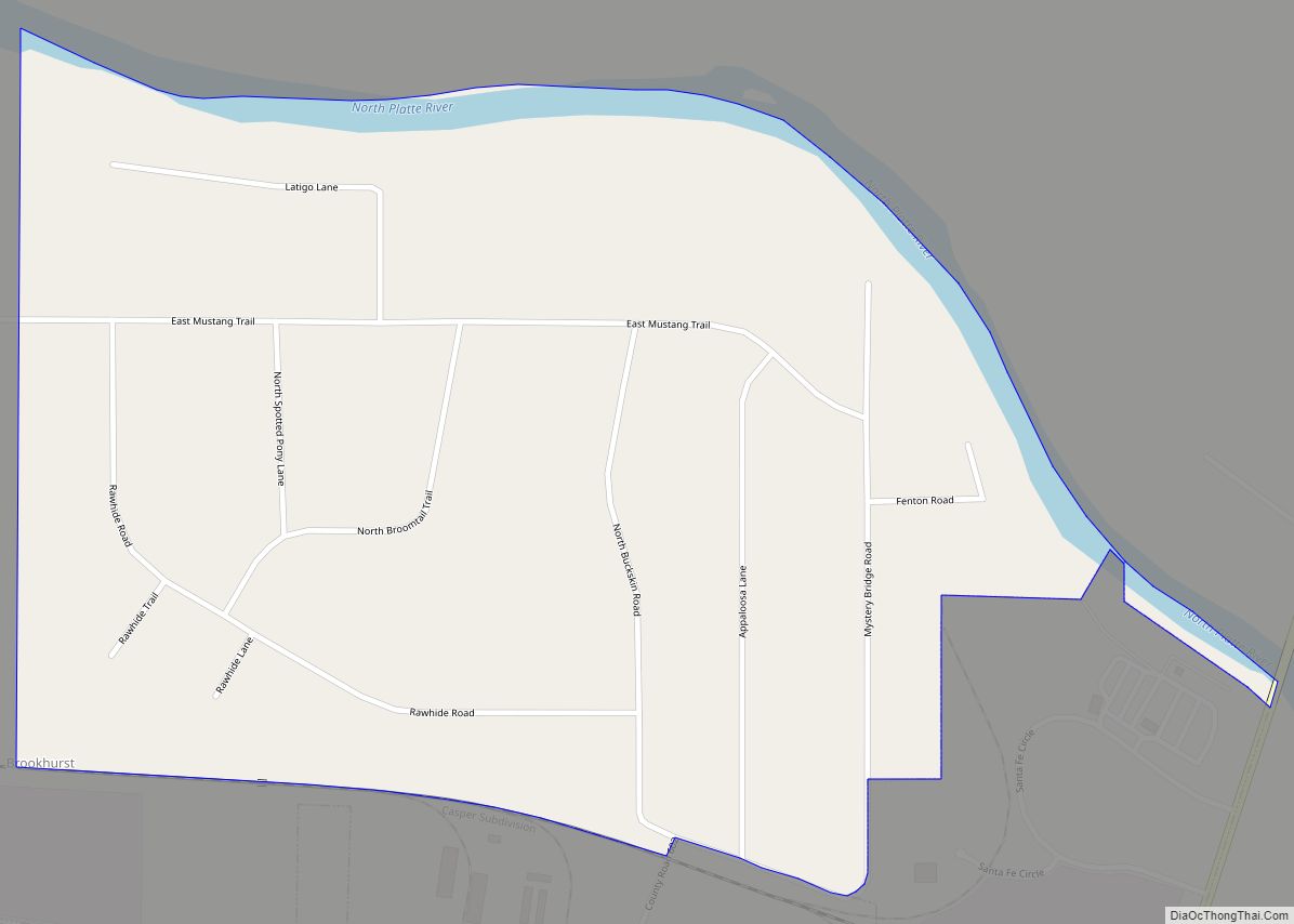
Brookhurst is a census-designated place (CDP) in Natrona County, Wyoming, United States. It is part of the Casper, Wyoming Metropolitan Statistical Area. The population was 185 at the 2010 census. Brookhurst CDP overview: Name: Brookhurst CDP LSAD Code: 57 LSAD Description: CDP (suffix) State: Wyoming County: Natrona County Elevation: 5,118 ft (1,560 m) Total Area: 0.7 sq mi (2 km²) ... Read more
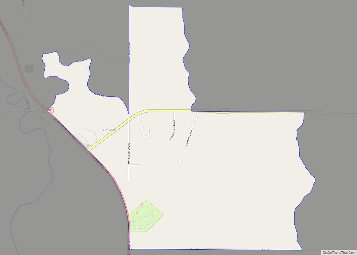
Boulder is a census-designated place (CDP) in Sublette County, Wyoming, United States. The population was 170 at the 2010 census. Boulder CDP overview: Name: Boulder CDP LSAD Code: 57 LSAD Description: CDP (suffix) State: Wyoming County: Sublette County Elevation: 7,018 ft (2,139 m) Total Area: 1.9 sq mi (5 km²) Land Area: 1.9 sq mi (5 km²) Water Area: 0.0 sq mi (0 km²) Total Population: ... Read more
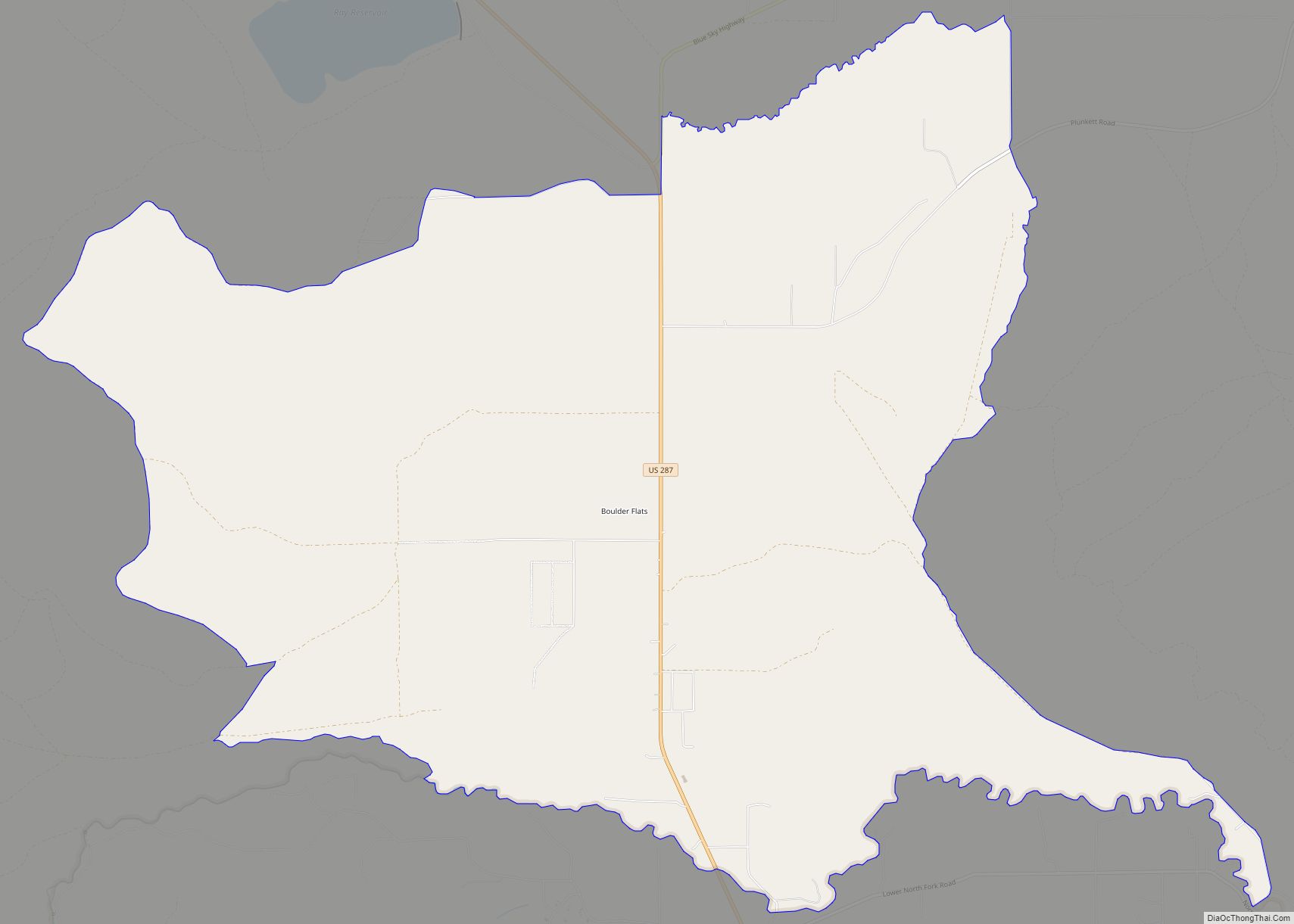
Boulder Flats is a census-designated place (CDP) in Fremont County, Wyoming, United States. The population was 408 at the 2010 census. Boulder Flats CDP overview: Name: Boulder Flats CDP LSAD Code: 57 LSAD Description: CDP (suffix) State: Wyoming County: Fremont County Elevation: 5,587 ft (1,703 m) Total Area: 18.2 sq mi (47.2 km²) Land Area: 18.2 sq mi (47.2 km²) Water Area: 0.0 sq mi ... Read more
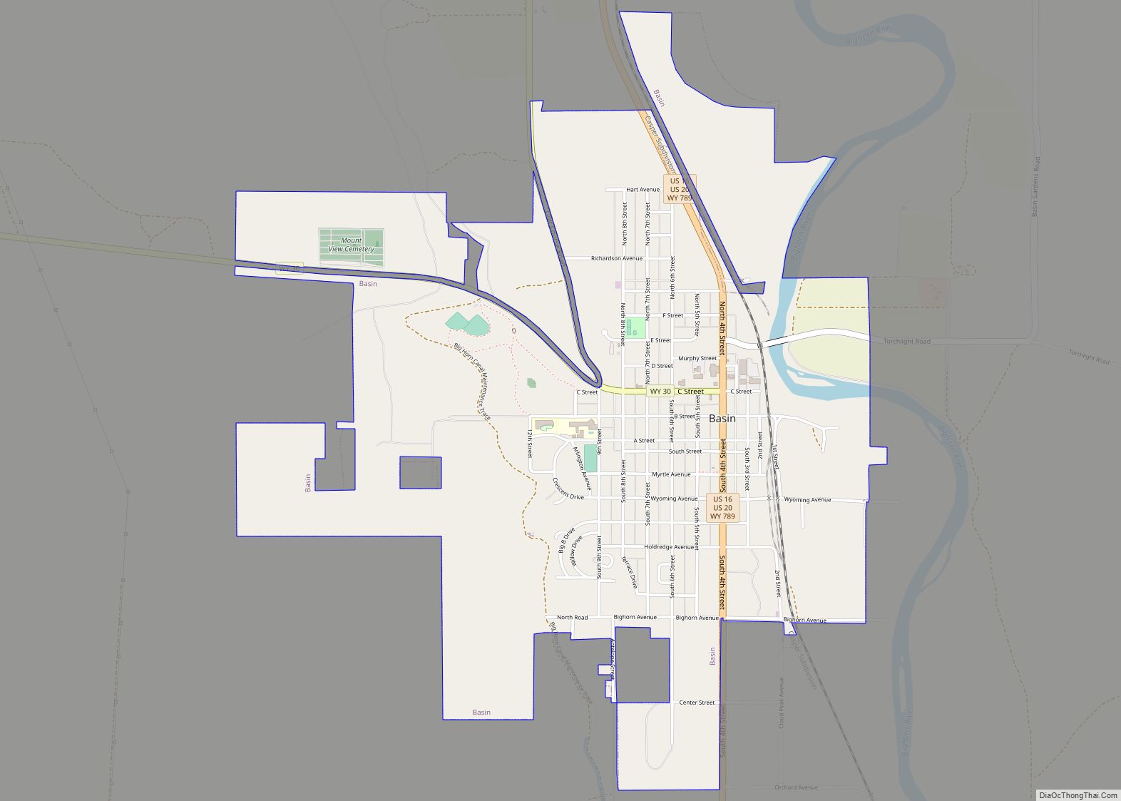
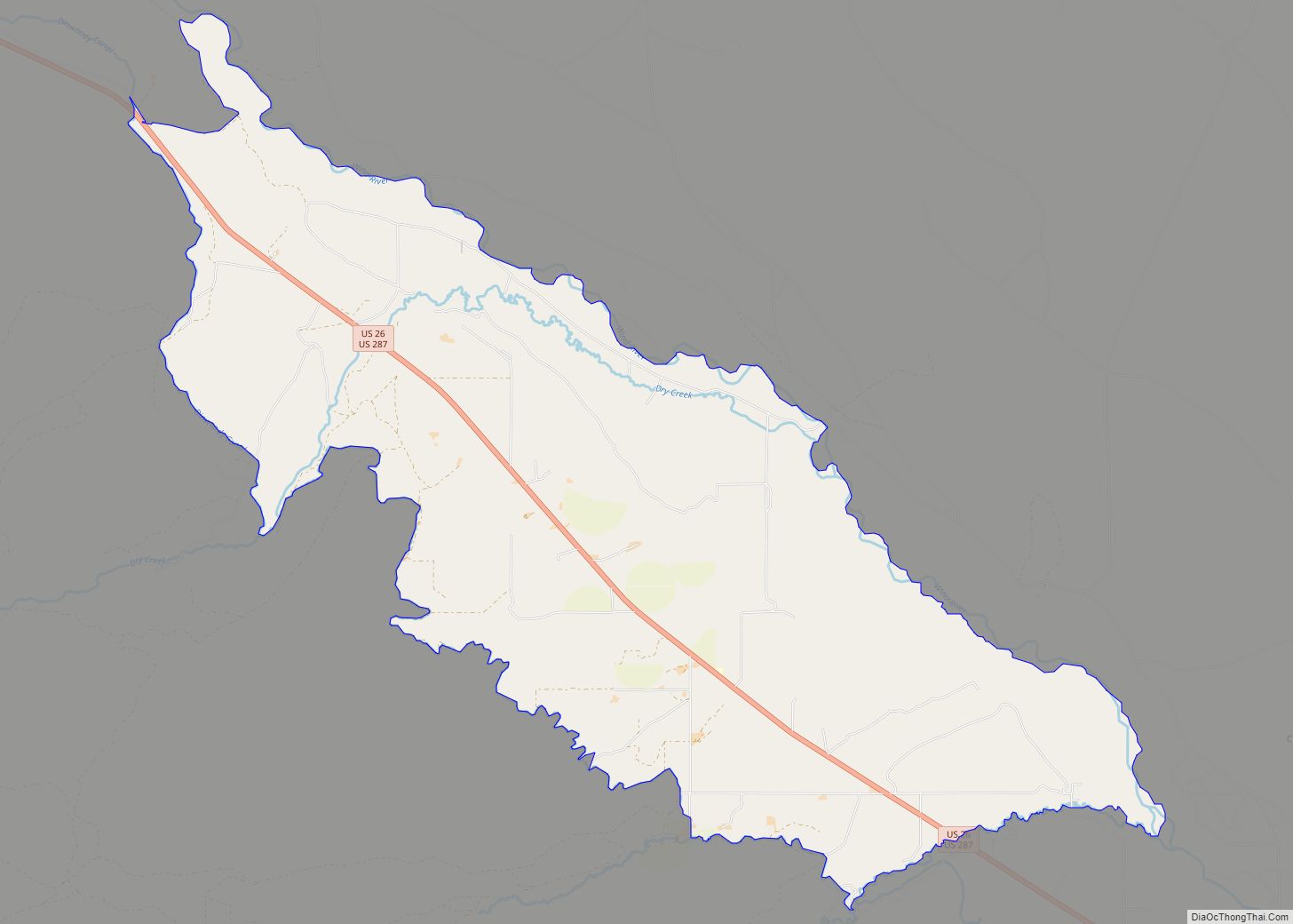
Basin is a town in, and the county seat of, Big Horn County, Wyoming, United States. The population was 1,225 at the 2020 census. The community is located near the center of the Bighorn Basin with the Big Horn River east of the town. Basin’s post office, built in 1919, is listed on the National ... Read more
Crowheart is a census-designated place (CDP) in Fremont County, Wyoming, United States. The population was 141 at the 2010 census. Nearby Crowheart Butte was the site of a battle between the Crow and Shoshone American Indian tribes in 1866. According to legend, following a five-day battle for rights to the hunting grounds in the Wind ... Read more
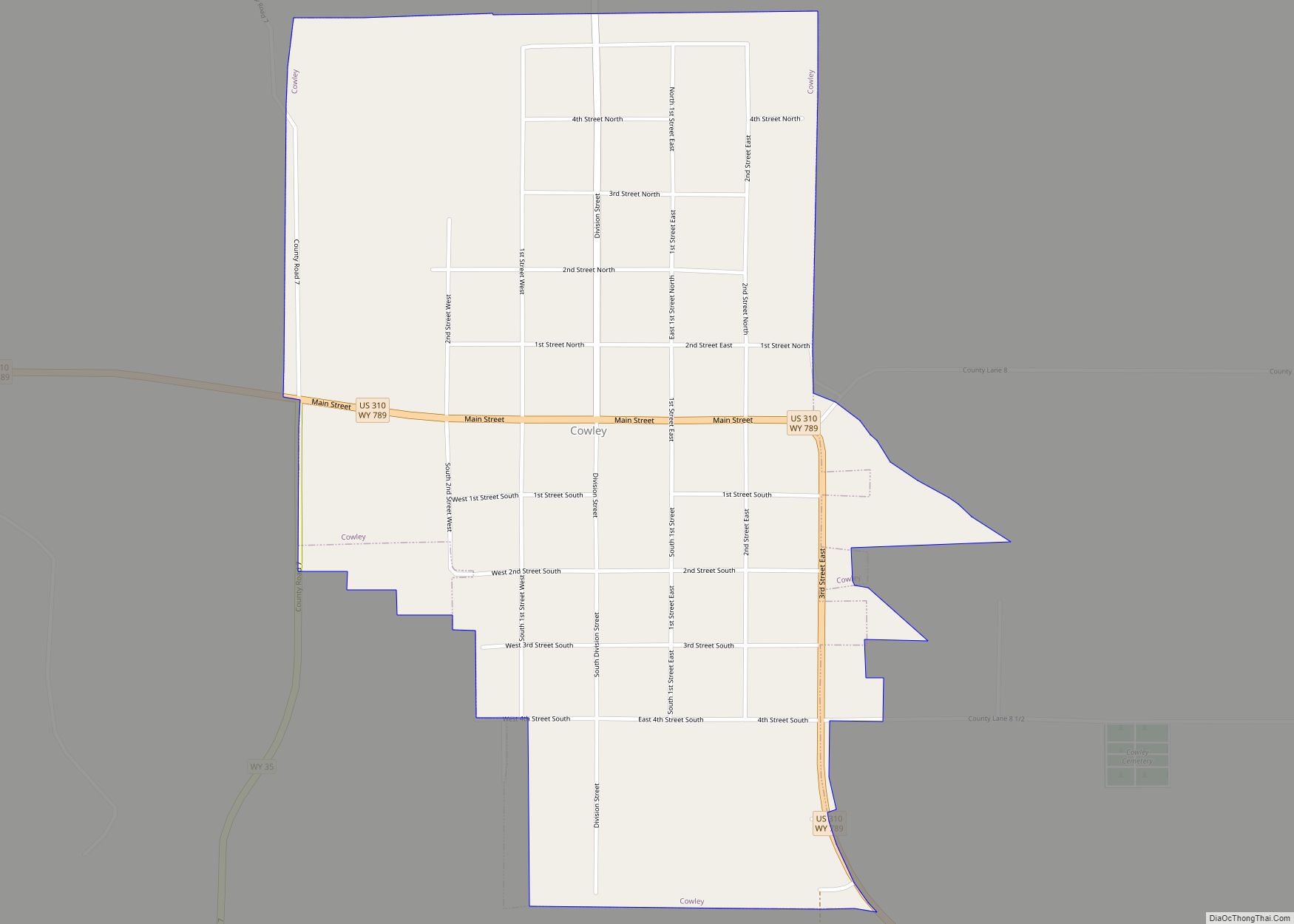
Cowley is a town in Big Horn County, Wyoming, United States. The population was 655 at the 2010 census. In 2019 the US Census Bureau put that figure at 623. Cowley town overview: Name: Cowley town LSAD Code: 43 LSAD Description: town (suffix) State: Wyoming County: Big Horn County Elevation: 3,990 ft (1,216 m) Total Area: 0.87 sq mi ... Read more
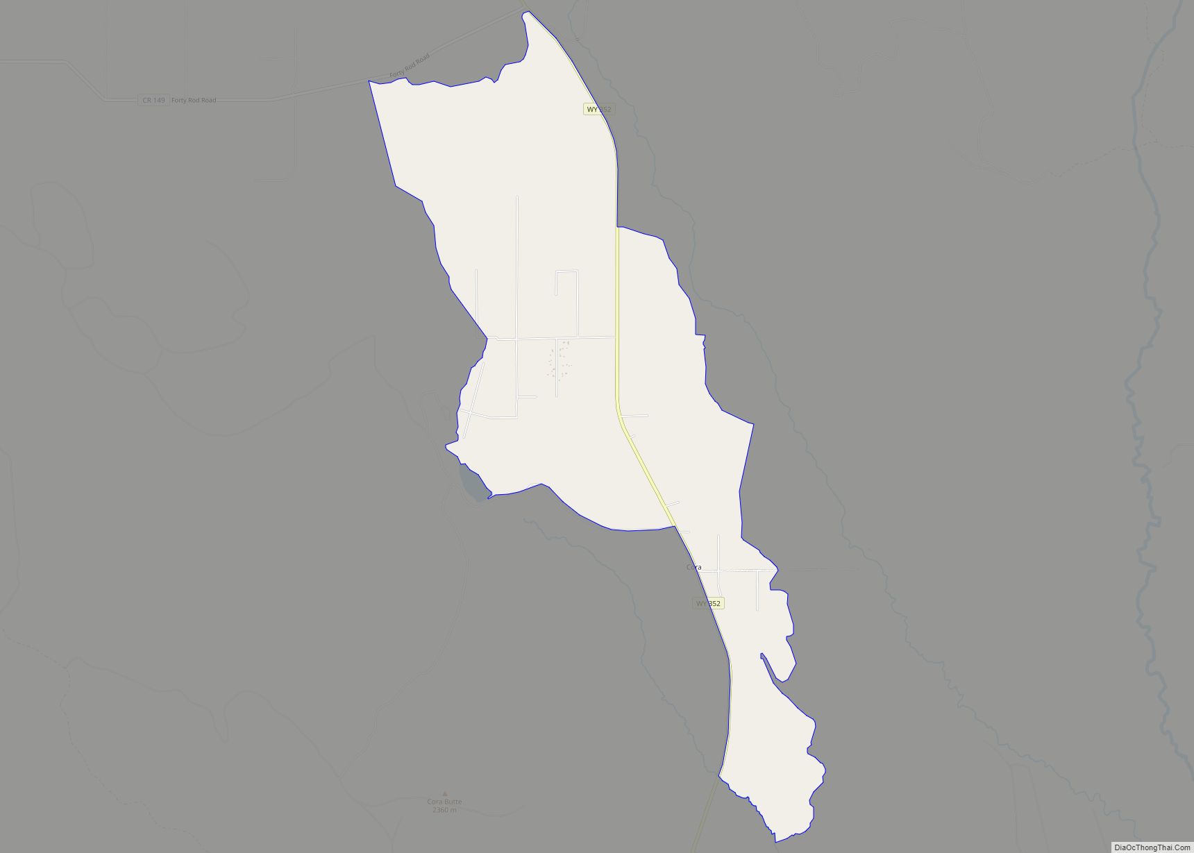
Cora is a census-designated place (CDP) in Sublette County, Wyoming. The population was 114 at the 2020 census. Cora CDP overview: Name: Cora CDP LSAD Code: 57 LSAD Description: CDP (suffix) State: Wyoming County: Sublette County Elevation: 7,352 ft (2,241 m) Total Area: 5.0 sq mi (13 km²) Land Area: 5.0 sq mi (13 km²) Water Area: 0.0 sq mi (0 km²) Total Population: 142 Population ... Read more
Douglas is a city in Converse County, Wyoming, United States. The population was 6,120 at the 2010 census. It is the county seat of Converse County and the home of the Wyoming State Fair. Douglas city overview: Name: Douglas city LSAD Code: 25 LSAD Description: city (suffix) State: Wyoming County: Converse County Elevation: 4,836 ft (1,474 m) ... Read more
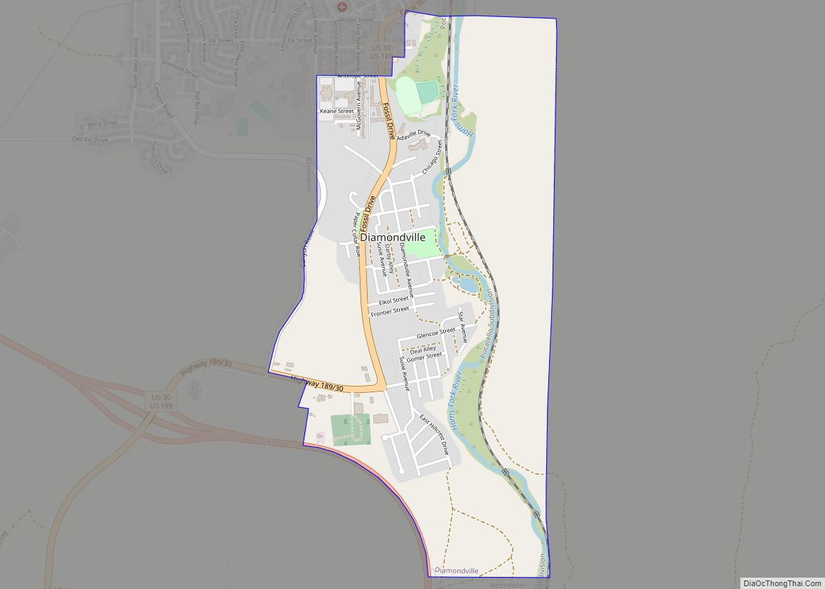
Diamondville is a town in Lincoln County, Wyoming, United States. The population was 737 at the 2010 census. Diamondville town overview: Name: Diamondville town LSAD Code: 43 LSAD Description: town (suffix) State: Wyoming County: Lincoln County Elevation: 6,893 ft (2,101 m) Total Area: 1.17 sq mi (3.03 km²) Land Area: 1.17 sq mi (3.02 km²) Water Area: 0.00 sq mi (0.01 km²) Total Population: 737 Population ... Read more
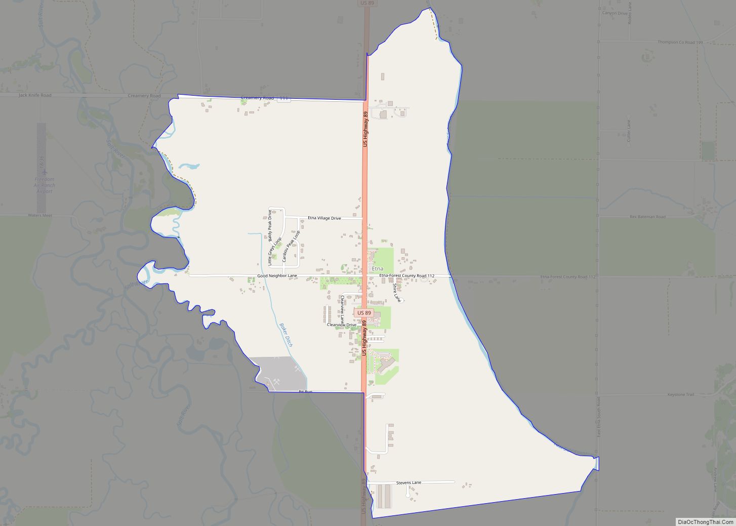
Etna is a census-designated place (CDP) in Lincoln County, Wyoming, United States. The population was 164 at the 2010 census. Etna CDP overview: Name: Etna CDP LSAD Code: 57 LSAD Description: CDP (suffix) State: Wyoming County: Lincoln County Elevation: 5,827 ft (1,776 m) Total Area: 2.0 sq mi (5.1 km²) Land Area: 2.0 sq mi (5.1 km²) Water Area: 0.0 sq mi (0.0 km²) Total Population: ... Read more
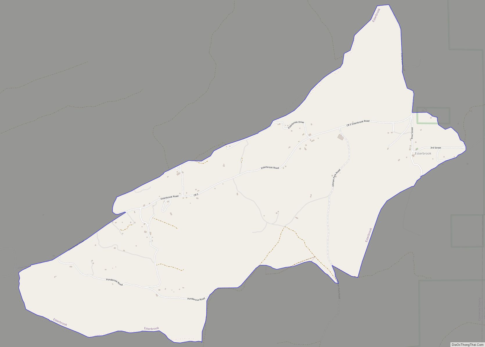
Esterbrook is a village, and the locus of a same-named census-designated place (CDP), in Converse County, Wyoming, United States in the Medicine Bow National Forest. The population was 52 at the 2010 census. Esterbrook CDP overview: Name: Esterbrook CDP LSAD Code: 57 LSAD Description: CDP (suffix) State: Wyoming County: Converse County Elevation: 6,516 ft (1,986 m) Total ... Read more

