Buffalo is a city in Johnson County, Wyoming, United States. The city is located almost equidistant between Yellowstone Park and Mount Rushmore. The population was 4,415 at the 2020 census, down from 4,585 at the 2010 census. It is the county seat of Johnson County. The city has experienced an economic boom due to methane production from the coal bed methane extraction method used in the Powder River Basin and surrounding areas. However, with the decline of methane production, Buffalo’s population has stabilized since the 2010 Census. Even though energy is a vital part of its economy, agriculture, tourism, and recreation are three other major components. Buffalo is at the foot of the Bighorn Mountains.
| Name: | Buffalo city |
|---|---|
| LSAD Code: | 25 |
| LSAD Description: | city (suffix) |
| State: | Wyoming |
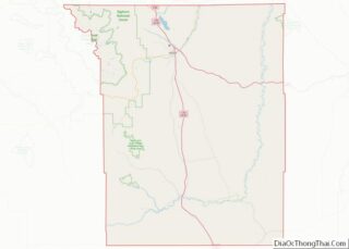
| County: | Johnson County |
| Elevation: | 4,708 ft (1,435 m) |
| Total Area: | 4.48 sq mi (11.61 km²) |
| Land Area: | 4.48 sq mi (11.61 km²) |
| Water Area: | 0.00 sq mi (0.00 km²) |
| Total Population: | 4,415 |
| Population Density: | 1,020.98/sq mi (394.22/km²) |
| ZIP code: | 82834, 82840 |
| Area code: | 307 |
| FIPS code: | 5610685 |
| GNISfeature ID: | 2409934 |
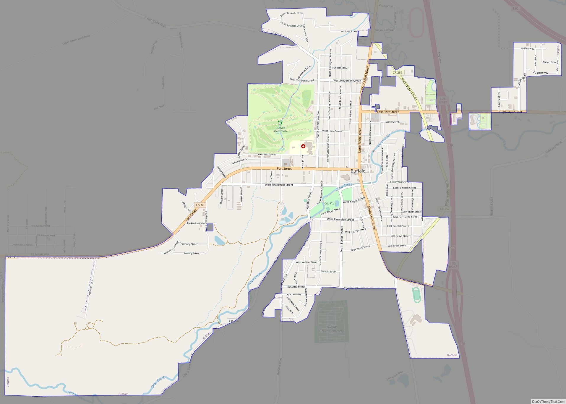
Online Interactive Map
Click on ![]() to view map in "full screen" mode.
to view map in "full screen" mode.
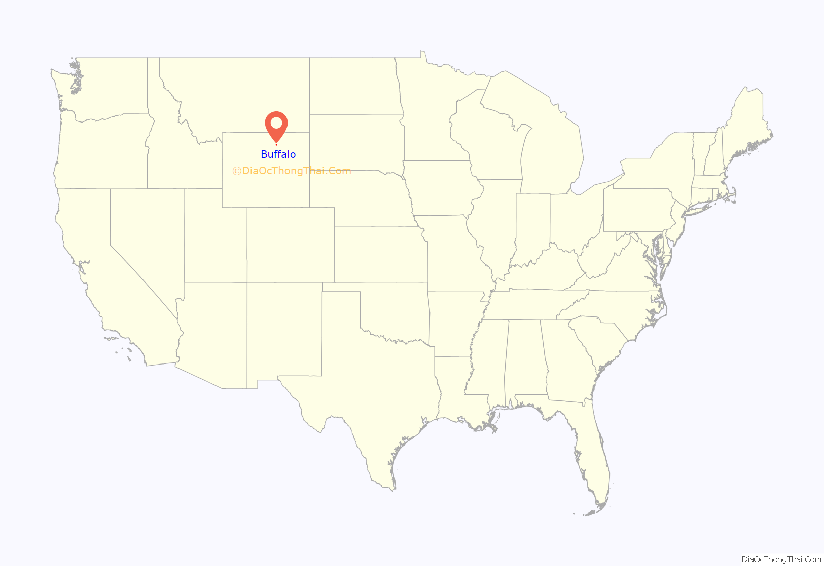
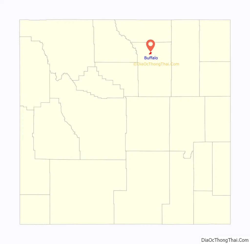
Buffalo location map. Where is Buffalo city?
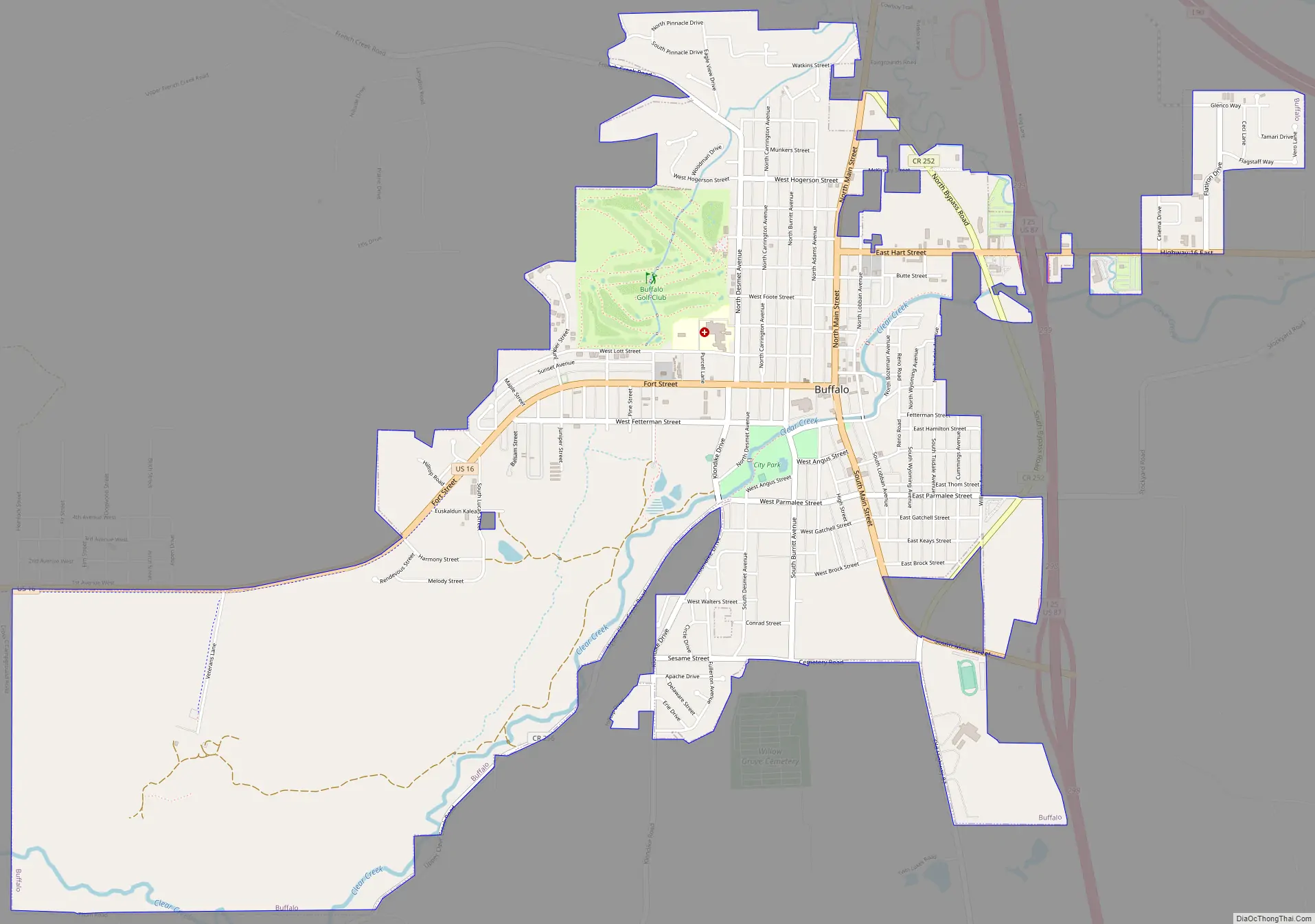
Buffalo Road Map
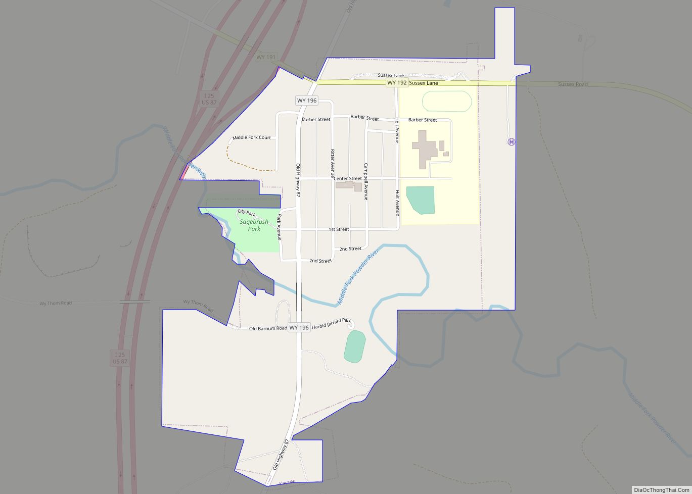
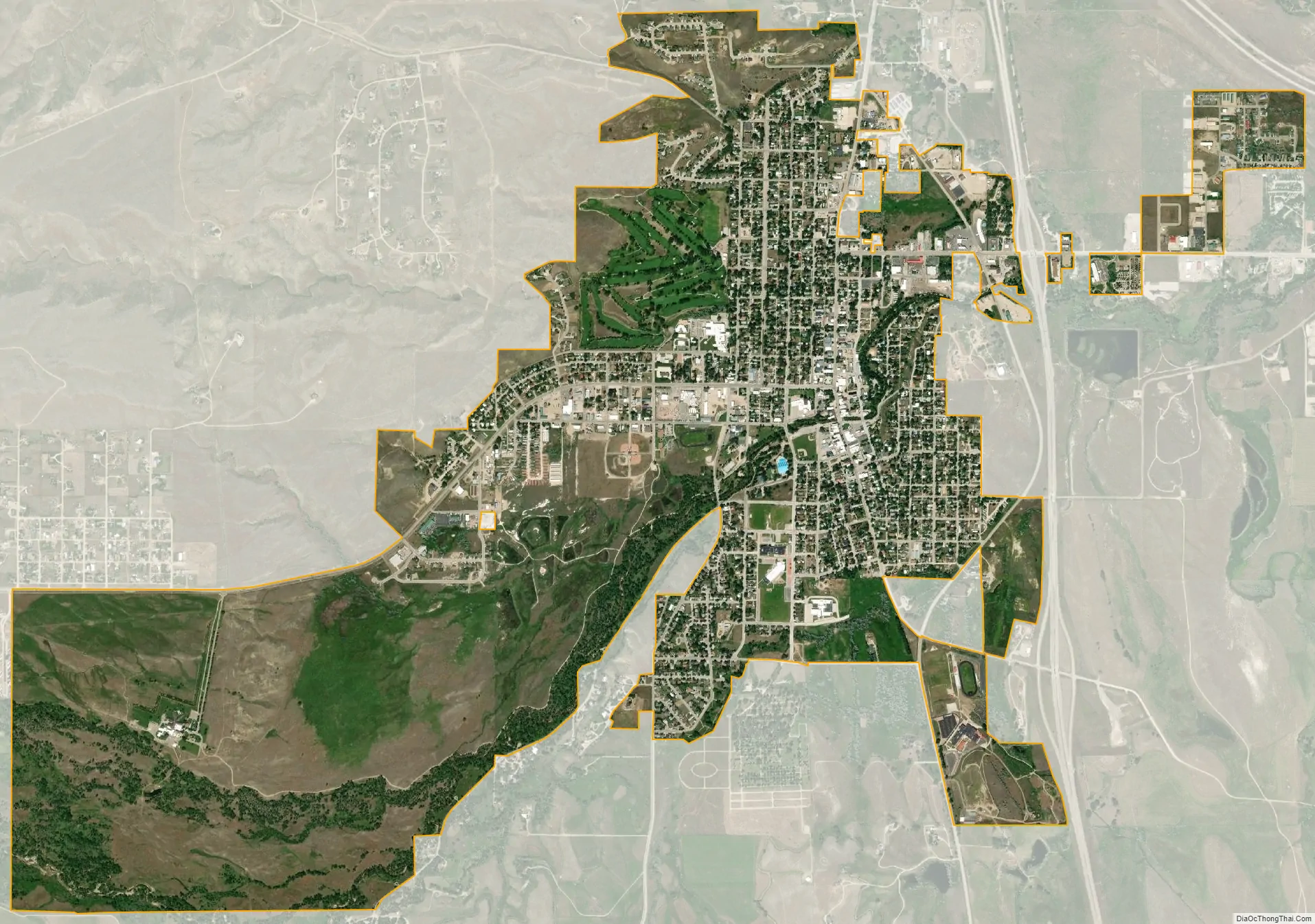
Buffalo city Satellite Map
Geography
According to the United States Census Bureau, the city has a total area of 4.46 square miles (11.55 km), all land.
See also
Map of Wyoming State and its subdivision: Map of other states:- Alabama
- Alaska
- Arizona
- Arkansas
- California
- Colorado
- Connecticut
- Delaware
- District of Columbia
- Florida
- Georgia
- Hawaii
- Idaho
- Illinois
- Indiana
- Iowa
- Kansas
- Kentucky
- Louisiana
- Maine
- Maryland
- Massachusetts
- Michigan
- Minnesota
- Mississippi
- Missouri
- Montana
- Nebraska
- Nevada
- New Hampshire
- New Jersey
- New Mexico
- New York
- North Carolina
- North Dakota
- Ohio
- Oklahoma
- Oregon
- Pennsylvania
- Rhode Island
- South Carolina
- South Dakota
- Tennessee
- Texas
- Utah
- Vermont
- Virginia
- Washington
- West Virginia
- Wisconsin
- Wyoming