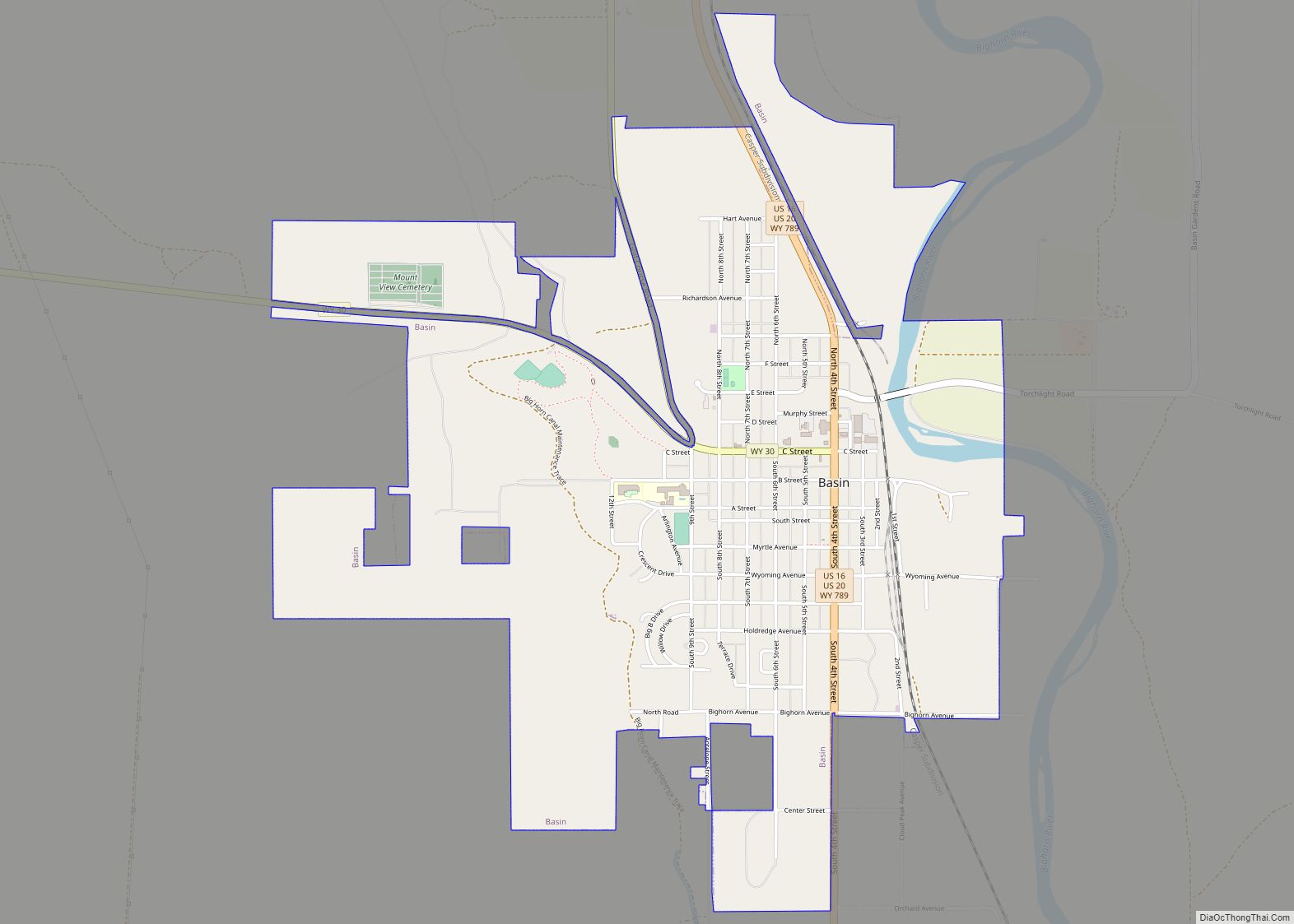
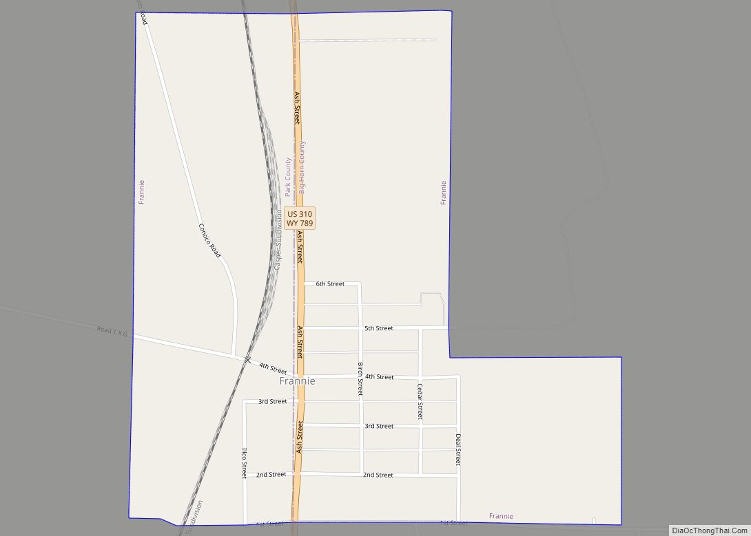
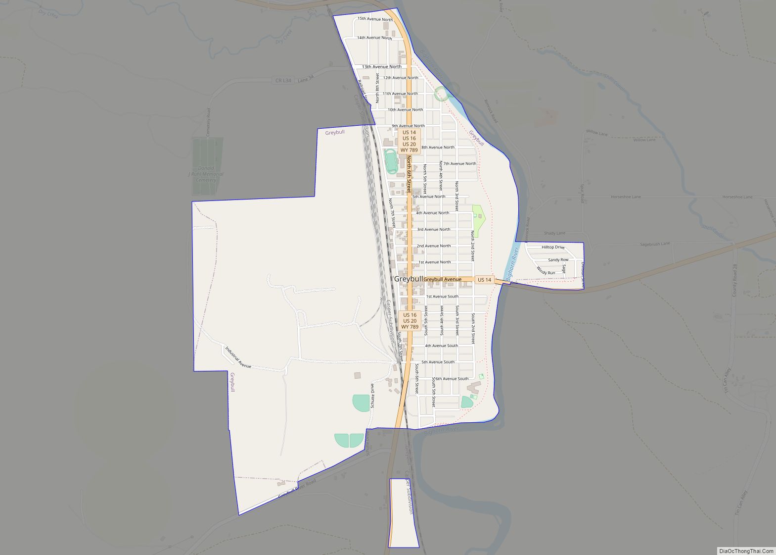
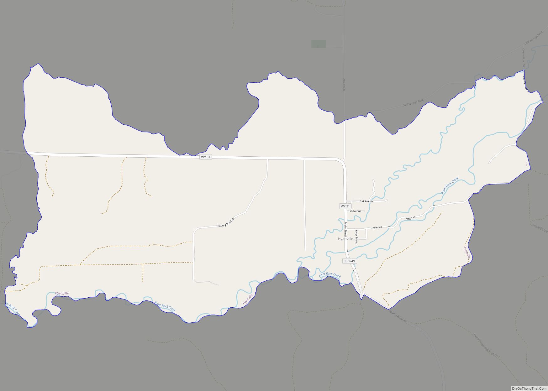
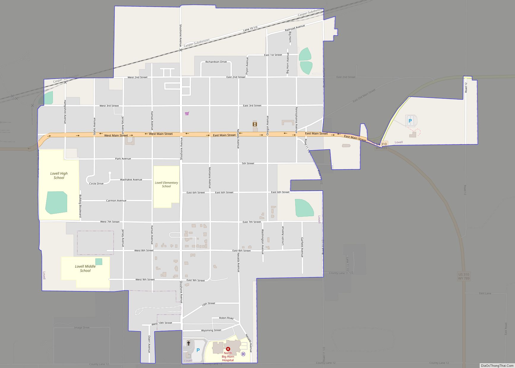
Basin is a town in, and the county seat of, Big Horn County, Wyoming, United States. The population was 1,225 at the 2020 census. The community is located near the center of the Bighorn Basin with the Big Horn River east of the town. Basin’s post office, built in 1919, is listed on the National Register of Historic Places.
| Name: | Basin town |
|---|---|
| LSAD Code: | 43 |
| LSAD Description: | town (suffix) |
| State: | Wyoming |
| County: | Big Horn County |
| Incorporated: | 1902 |
| Elevation: | 3,878 ft (1,182 m) |
| Total Area: | 2.39 sq mi (6.19 km²) |
| Land Area: | 2.36 sq mi (6.12 km²) |
| Water Area: | 0.03 sq mi (0.07 km²) |
| Total Population: | 1,225 |
| Population Density: | 542.53/sq mi (209.47/km²) |
| ZIP code: | 82410 |
| Area code: | 307 |
| FIPS code: | 5605320 |
| GNISfeature ID: | 1585173 |
| Website: | www.thetownofbasin.com |
Online Interactive Map
Click on ![]() to view map in "full screen" mode.
to view map in "full screen" mode.
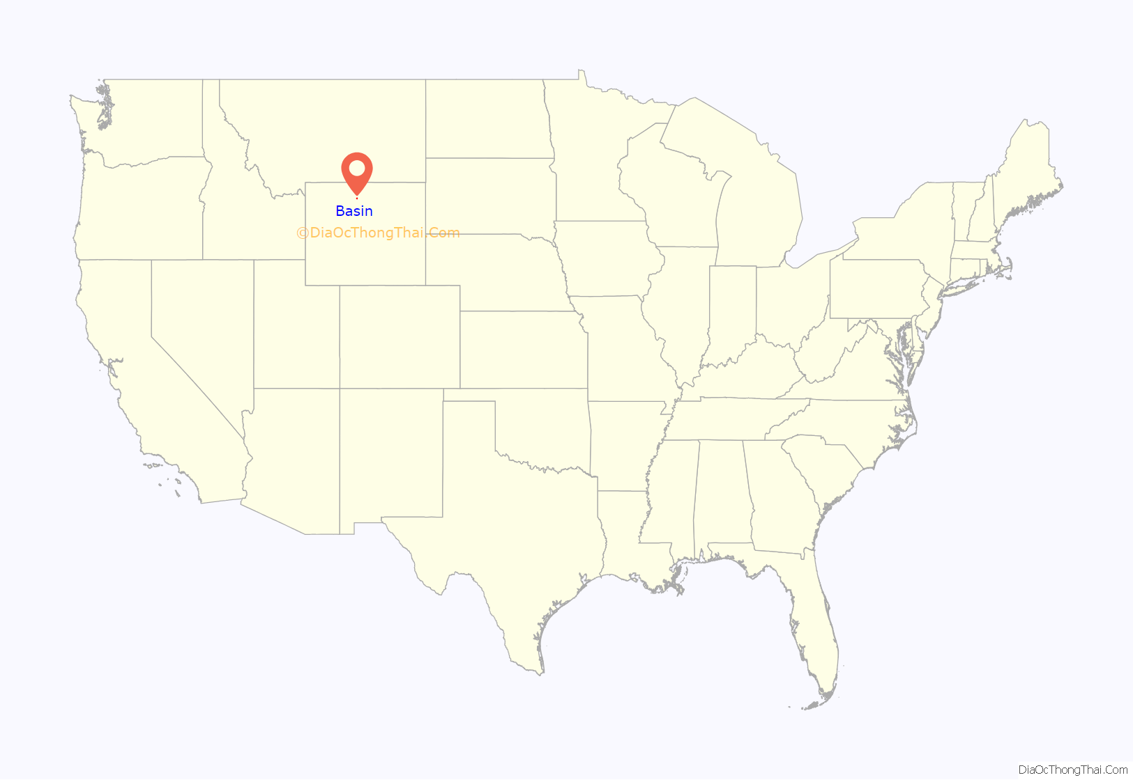
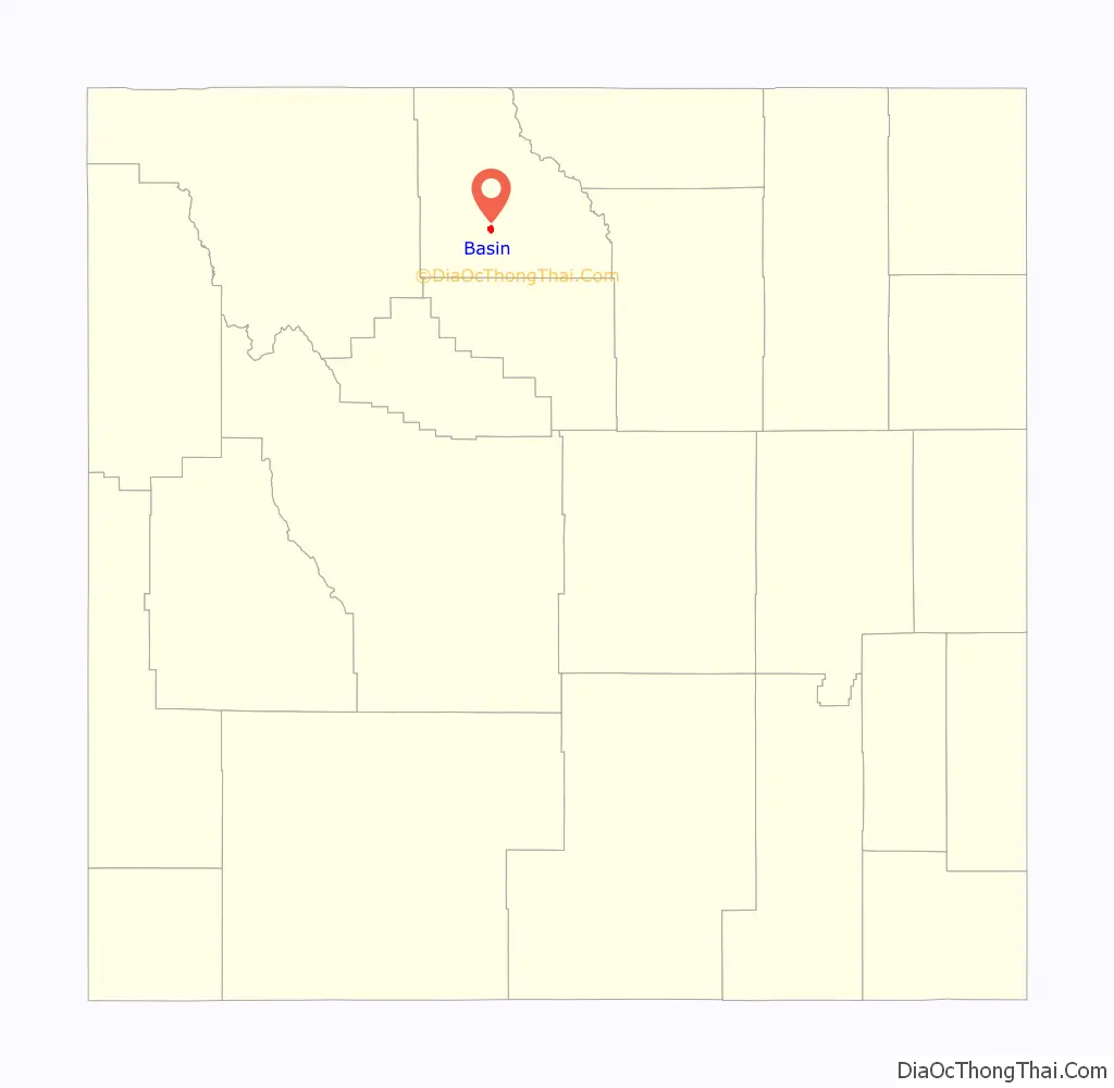
Basin location map. Where is Basin town?
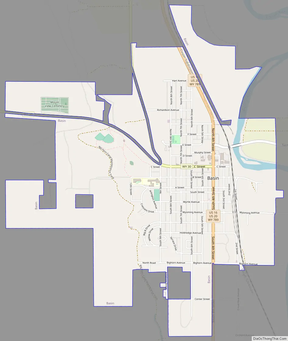
Basin Road Map
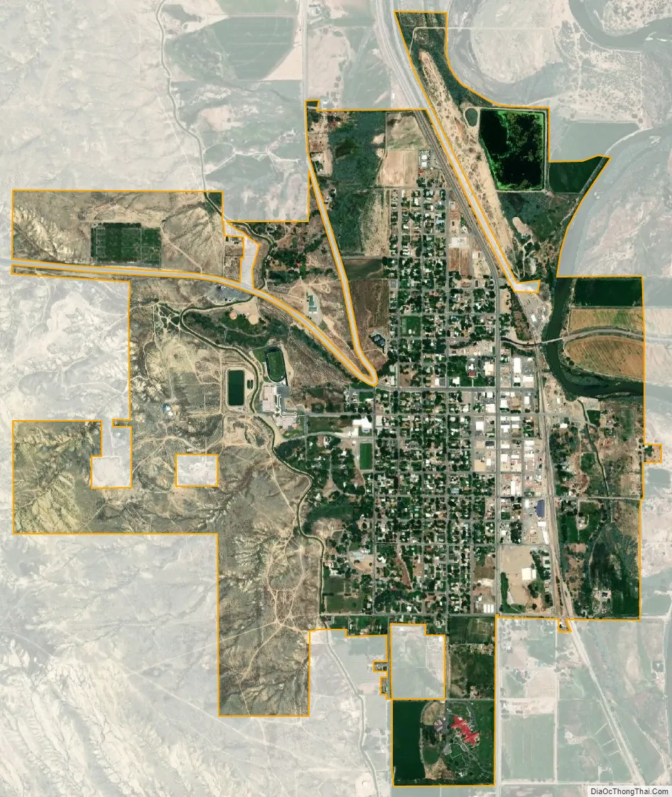
Basin city Satellite Map
Geography
Basin is located at 44°22′44″N 108°2′35″W / 44.37889°N 108.04306°W / 44.37889; -108.04306 (44.378777, -108.043100).
According to the United States Census Bureau, the town has a total area of 2.43 square miles (6.29 km), of which 2.40 square miles (6.22 km) is land and 0.03 square miles (0.08 km) is water.
Basin is known as The Lilac City. Basin hosts the Big Horn County Fair each summer.
See also
Map of Wyoming State and its subdivision: Map of other states:- Alabama
- Alaska
- Arizona
- Arkansas
- California
- Colorado
- Connecticut
- Delaware
- District of Columbia
- Florida
- Georgia
- Hawaii
- Idaho
- Illinois
- Indiana
- Iowa
- Kansas
- Kentucky
- Louisiana
- Maine
- Maryland
- Massachusetts
- Michigan
- Minnesota
- Mississippi
- Missouri
- Montana
- Nebraska
- Nevada
- New Hampshire
- New Jersey
- New Mexico
- New York
- North Carolina
- North Dakota
- Ohio
- Oklahoma
- Oregon
- Pennsylvania
- Rhode Island
- South Carolina
- South Dakota
- Tennessee
- Texas
- Utah
- Vermont
- Virginia
- Washington
- West Virginia
- Wisconsin
- Wyoming