Map of Green Mountain Falls town
The Town of Green Mountain Falls is a Statutory Town located in El Paso and Teller counties of the U.S. of State of Colorado. The town population was 646 at the 2020 United States Census with 622 residents in El Paso County and 24 residents in Teller County. Green Mountain Falls is a part of ... Read more
Map of Green Mountain Falls town
Map of Grand View Estates CDP
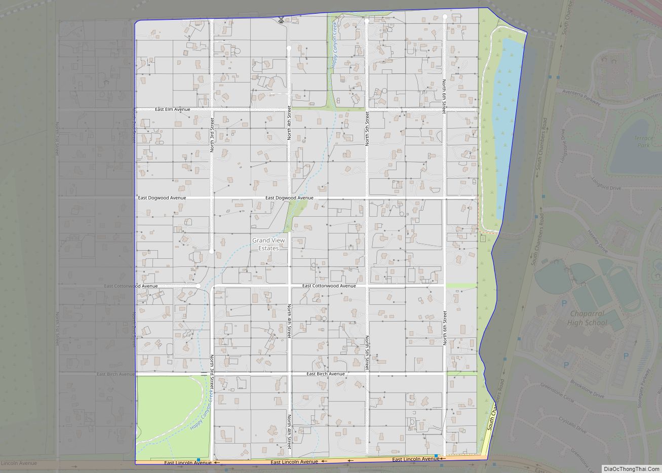
Grand View Estates is an unincorporated community and a census-designated place (CDP) located in and governed by Douglas County, Colorado, United States. The CDP is a part of the Denver–Aurora–Lakewood, CO Metropolitan Statistical Area. The population of the Grand View Estates CDP was 689 at the United States Census 2020. The area lies in ZIP ... Read more
Map of Grand View Estates CDP
Map of Gunbarrel CDP
Gunbarrel is an unincorporated community and a census-designated place (CDP) located in and governed by Boulder County, Colorado, United States. The CDP is a part of the Boulder, CO Metropolitan Statistical Area. The population of the Gunbarrel CDP was 9,554 at the United States Census 2020. The Boulder post office (Zip Code 80301) and Longmont ... Read more
Map of Gunbarrel CDP
Map of Guffey CDP
Guffey is a census-designated place (CDP) and post office in and governed by Park County, Colorado, United States. The Guffey post office has the ZIP Code 80820. At the United States Census 2020, the population of the Guffey CDP was 111. The CDP is a part of the Denver–Aurora–Lakewood, CO Metropolitan Statistical Area. Guffey CDP ... Read more
Map of Guffey CDP
Map of Grover town, Colorado
The Town of Grover is a Statutory Town located in Weld County, Colorado, United States. The town population was 157 at the 2020 United States Census, a 14.60% increase since the 2010 United States Census. Grover is a part of the Greeley, CO Metropolitan Statistical Area and the Front Range Urban Corridor. Grover town overview: ... Read more
Map of Grover town, Colorado
Map of Gunnison city, Colorado
Gunnison is a home rule municipality that is the county seat and the most populous municipality of Gunnison County, Colorado. The city population was 6,560 at the 2020 United States Census. Gunnison was named in honor of John W. Gunnison, a United States Army officer who surveyed for a transcontinental railroad in 1853. Gunnison city ... Read more
Map of Gunnison city, Colorado
Map of Hartman town, Colorado
The Town of Hartman is a Statutory Town in Prowers County, Colorado, United States. The town population was 56 at the 2020 United States Census. The town is located North of SH-196. The town has one historic site, the old Hartman Gymnasium. The circa 1938 gymnasium is associated with New Deal programs in Prowers County. ... Read more
Map of Hartman town, Colorado
Map of Gypsum town, Colorado
The Town of Gypsum is the home rule municipality that is the most populous municipality in Eagle County, Colorado, United States. The town population was 8,040 at the 2020 United States Census, a +24.13% increase since the 2010 United States Census. Gypsum is a part of the Edwards, CO Micropolitan Statistical Area. Gypsum is the ... Read more
Map of Gypsum town, Colorado
Map of Haxtun town
Haxtun is a statutory town in Phillips County, Colorado, United States The town population was 981 at the 2020 United States Census. Haxtun town overview: Name: Haxtun town LSAD Code: 43 LSAD Description: town (suffix) State: Colorado County: Phillips County Elevation: 4,029 ft (1,228 m) Total Area: 0.595 sq mi (1.542 km²) Land Area: 0.595 sq mi (1.542 km²) Water Area: 0.000 sq mi (0.000 km²) ... Read more
Map of Haxtun town
Map of Haswell town
The Town of Haswell is a Statutory Town located in Kiowa County, Colorado, United States. The town population was 71 at the 2020 United States Census. Haswell town overview: Name: Haswell town LSAD Code: 43 LSAD Description: town (suffix) State: Colorado County: Kiowa County Incorporated: September 2, 1920 Elevation: 4,544 ft (1,385 m) Total Area: 0.803 sq mi (2.079 km²) ... Read more
Map of Haswell town
Map of Hasty CDP
Hasty is an unincorporated town, a post office, and a census-designated place (CDP) located in and governed by Bent County, Colorado, United States. The Hasty post office has the ZIP code 81044. At the United States Census 2020, the population of the Hasty CDP was 182. Hasty CDP overview: Name: Hasty CDP LSAD Code: 57 ... Read more
Map of Hasty CDP
Map of Hidden Lake CDP
Hidden Lake is an unincorporated community and a census-designated place (CDP) located in and governed by Boulder County, Colorado, United States. The CDP is a part of the Boulder, CO Metropolitan Statistical Area. The population of the Hidden Lake CDP was 24 at the United States Census 2020. The Ward post office (Zip Code 80481) ... Read more
Map of Hidden Lake CDP