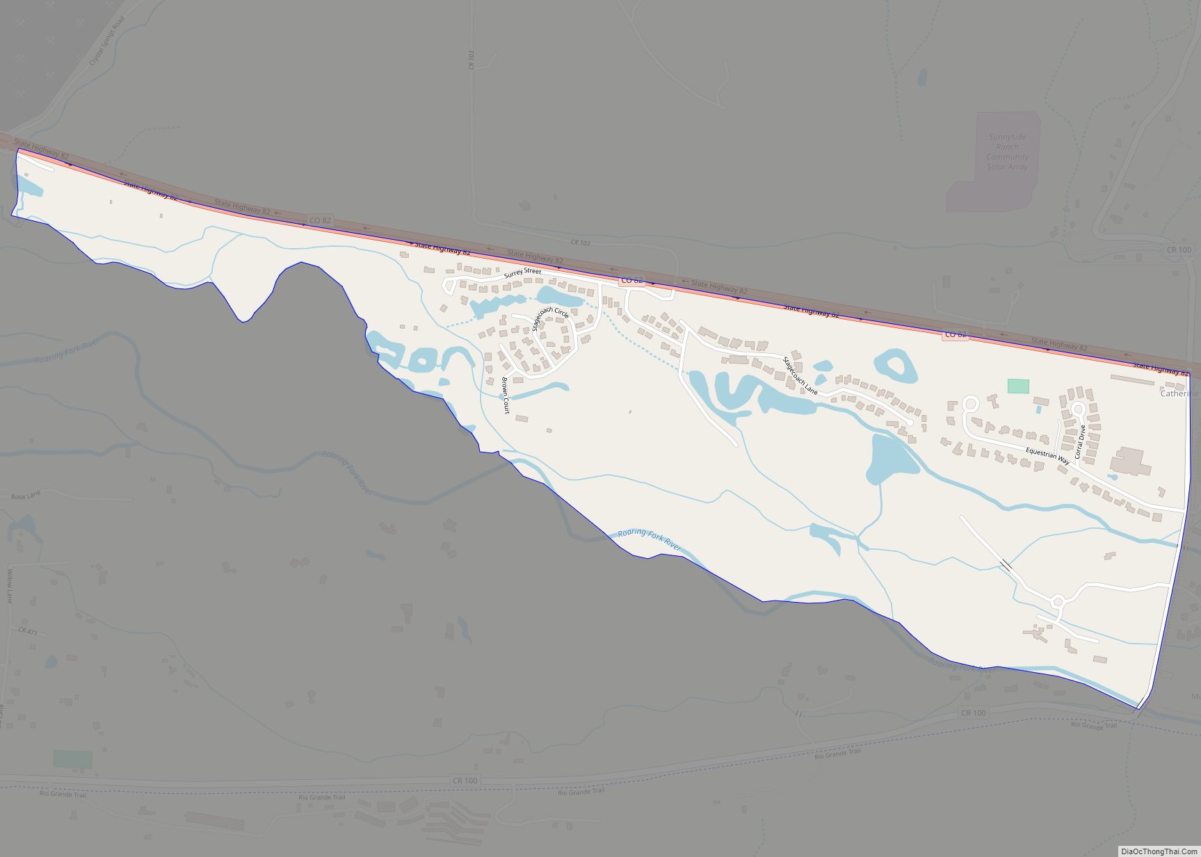
Mulford is a Census-designated place (CDP) in and governed by Garfield County, Colorado, United States. The CDP is a part of the Glenwood Springs, CO Micropolitan Statistical Area. The population of the Mulford CDP was 259 at the United States Census 2020. The Carbondale post office (Zip Code 81623) serves the area. Mulford CDP overview: ... Read more
Map of US Cities and Places
Mountain Village is a home rule municipality in San Miguel County, southwestern Colorado. It is located just southwest of Telluride, Colorado in the San Juan Mountains. The elevation of the town rises above Telluride to 9,600 feet. The population was 1,264 at the 2020 census. Mountain Village town overview: Name: Mountain Village town LSAD Code: ... Read more
Niwot is an unincorporated town, a post office, and a census-designated place (CDP) located in and governed by Boulder County, Colorado, United States. The CDP is a part of the Boulder, Colorado Metropolitan Statistical Area. The Niwot post office has the ZIP Codes 80503 and 80544 (for post office boxes). At the United States Census ... Read more
The Town of New Castle is a home rule municipality in Garfield County, Colorado, United States. The population was 4,923 at the 2020 census. New Castle town overview: Name: New Castle town LSAD Code: 43 LSAD Description: town (suffix) State: Colorado County: Garfield County Elevation: 5,597 ft (1,706 m) Total Area: 2.61 sq mi (6.75 km²) Land Area: 2.52 sq mi (6.52 km²) ... Read more
Nederland (/ˈnɛdərlənd/, NED-ər-lənd) is a statutory town located near Barker Meadow Reservoir in the foothills of southwest Boulder County, Colorado, United States. As of the 2010 United States Census it had a population of 1,445. Nederland town overview: Name: Nederland town LSAD Code: 43 LSAD Description: town (suffix) State: Colorado County: Boulder County Elevation: 8,232 ft ... Read more
North La Junta is a census-designated place (CDP) in and governed by Otero County, Colorado, United States. The population of the North La Junta CDP was 482 at the United States Census 2020. The La Junta post office (Zip Code 81050) serves the area. North La Junta CDP overview: Name: North La Junta CDP LSAD ... Read more
Norrie (also known as the Norrie Colony) is a census-designated place (CDP) located in and governed by Pitkin County, Colorado, United States. The population of the Norrie CDP was 7 at the United States Census 2020. The Meredith post office (Zip Code 81642) serves the area. The CDP is a part of the Glenwood Springs, ... Read more
No Name is a census-designated place (CDP) in and governed by Garfield County, Colorado, United States. The CDP is a part of the Glenwood Springs, CO Micropolitan Statistical Area. The population of the No Name CDP was 117 at the United States Census 2020. The Glenwood Springs post office (Zip Code 81601) serves the area. ... Read more
The City of Northglenn is a home rule municipality located in Adams and Weld counties, Colorado, United States. Northglenn is a part of the Denver–Aurora–Lakewood, CO Metropolitan Statistical Area. As of the 2020 census the city’s population was 38,131. It was built as a master planned community in 1959 by Jordon Perlmutter. The city is ... Read more
North Washington is an unincorporated community and a census-designated place (CDP) located in and governed by Adams County, Colorado, United States. The CDP is a part of the Denver–Aurora–Lakewood, CO Metropolitan Statistical Area. The population of the North Washington CDP was 733 at the United States Census 2020. The Denver post office 80216 serves the ... Read more
Norwood is a Statutory Town in San Miguel County, Colorado, United States. The population was 535 at the 2020 census. A post office called Norwood has been in operation since 1887. The community was named after Norwood, Missouri, the native home of a first settler. Norwood town overview: Name: Norwood town LSAD Code: 43 LSAD ... Read more
Oak Creek is a Statutory Town in Routt County, Colorado, United States. The population was 889 at the 2020 census. Oak Creek town overview: Name: Oak Creek town LSAD Code: 43 LSAD Description: town (suffix) State: Colorado County: Routt County Elevation: 7,428 ft (2,264 m) Total Area: 0.36 sq mi (0.92 km²) Land Area: 0.36 sq mi (0.92 km²) Water Area: 0.00 sq mi (0.00 km²) ... Read more