Map of Nunn town
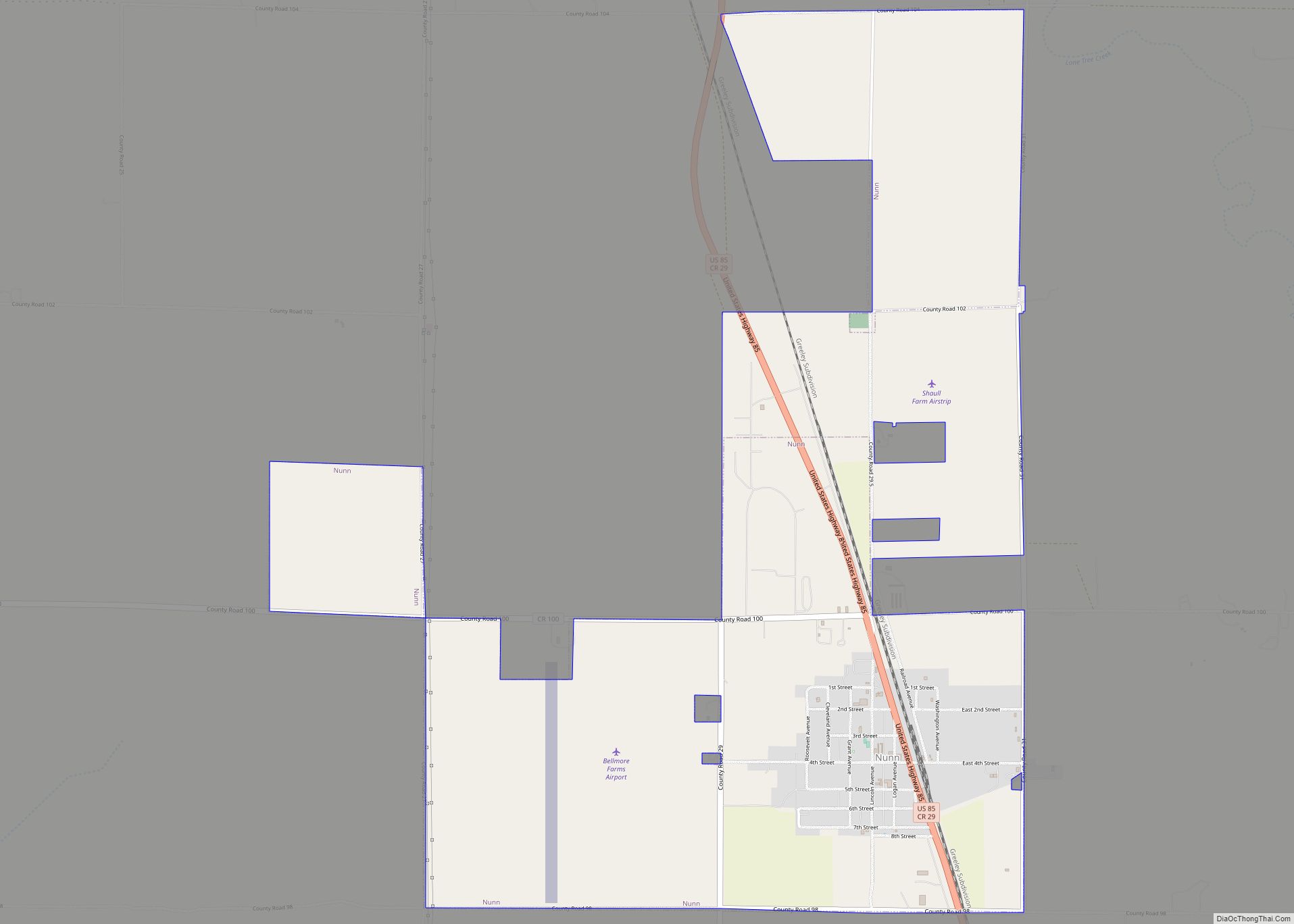
Nunn is a Statutory Town in Weld County, Colorado, United States. The population was 504 at the 2020 census. A post office called Nunn has been in operation since 1905. The town was named after Tom Nunn, who was credited with preventing a nearby train wreck. Nunn town overview: Name: Nunn town LSAD Code: 43 ... Read more
Map of Nunn town
Map of Nucla town
Nucla is a statutory town in Montrose County, Colorado, United States. The population was 585 as of the 2020 census, down from 711 in 2010. Its name comes from the town founders’ intent that it serve as a “nucleus” for the surrounding farms and mines, although it has since come to be associated with the ... Read more
Map of Nucla town
Map of Ophir town, Colorado
The historic mining town of Ophir is a home rule municipality governed by a general assembly and is located in San Miguel County, Colorado, United States. Ophir is located two miles from the Ames Hydroelectric Generating Plant, the world’s first hydroelectric plant to supply alternating current electricity for an industrial purpose (mining). The population was ... Read more
Map of Ophir town, Colorado
Map of Olney Springs town
Olney Springs is a Statutory Town in Crowley County, Colorado, United States. The population was 315 at the 2020 census. Olney Springs town overview: Name: Olney Springs town LSAD Code: 43 LSAD Description: town (suffix) State: Colorado County: Crowley County Elevation: 4,383 ft (1,336 m) Total Area: 0.24 sq mi (0.62 km²) Land Area: 0.24 sq mi (0.62 km²) Water Area: 0.00 sq mi (0.00 km²) ... Read more
Map of Olney Springs town
Map of Olathe town, Colorado
Olathe is a statutory town in Montrose County, Colorado, United States. The population was 2,019 as of the 2020 census, up from 1,849 at the 2010 census. A post office called Olathe has been in operation since 1896. The community was named after Olathe, Kansas. Olathe town overview: Name: Olathe town LSAD Code: 43 LSAD ... Read more
Map of Olathe town, Colorado
Map of Orchard Mesa CDP
Orchard Mesa is a census-designated place (CDP) in and governed by Mesa County, Colorado, United States. It is part of the Grand Junction, CO Metropolitan Statistical Area. The population of the Orchard Mesa CDP was 6,688 at the 2020 census. The Grand Junction post office (ZIP Code 81503) serves the area. Orchard Mesa CDP overview: ... Read more
Map of Orchard Mesa CDP
Map of Orchard City town
Orchard City is a statutory town in Delta County, Colorado, United States. The population was 3,142 at the 2020 census. There are three post offices serving Orchard City: Austin (ZIP code 81410), Cory (ZIP code 81414), Eckert (ZIP code 81418). Orchard City town overview: Name: Orchard City town LSAD Code: 43 LSAD Description: town (suffix) ... Read more
Map of Orchard City town
Map of Orchard CDP, Colorado
Orchard is an unincorporated town, a post office, and a census-designated place (CDP) located in and governed by Morgan County, Colorado, United States. The CDP is a part of the Fort Morgan, CO Micropolitan Statistical Area. The Orchard post office has the ZIP Code 80649. As of the 2020 census, the population of the Orchard ... Read more
Map of Orchard CDP, Colorado
Map of Ouray city
Ouray (/ˈjʊəreɪ/) is a home rule municipality that is the county seat of Ouray County, Colorado, United States. The city population was 898 as of the 2020 census. The Ouray Post Office has the ZIP Code 81427. Located at an elevation of 7,792 feet (2,375 m), Ouray’s climate, natural alpine environment, and scenery have earned it ... Read more
Map of Ouray city
Map of Otis town, Colorado
Otis is a Statutory Town in Washington County, Colorado, United States. The population was 511 at the 2020 census. Otis town overview: Name: Otis town LSAD Code: 43 LSAD Description: town (suffix) State: Colorado County: Washington County Elevation: 4,360 ft (1,329 m) Total Area: 0.41 sq mi (1.07 km²) Land Area: 0.41 sq mi (1.07 km²) Water Area: 0.00 sq mi (0.00 km²) Total Population: 511 ... Read more
Map of Otis town, Colorado
Map of Ordway town
Ordway is a Statutory Town in and the county seat of Crowley County, Colorado, United States, that is also the most populous community in the county. The population was 1,066 at the 2020 census. Ordway town overview: Name: Ordway town LSAD Code: 43 LSAD Description: town (suffix) State: Colorado County: Crowley County Elevation: 4,311 ft (1,314 m) ... Read more
Map of Ordway town
Map of Pagosa Springs town
The Town of Pagosa Springs (Ute language: Pagwöösa, Navajo language: Tó Sido Háálį́) is a home rule municipality that is the county seat, the most populous community, and the only incorporated municipality in Archuleta County, Colorado, United States. The population was 1,571 at the 2020 census. Approximately 65 percent of the land in Archuleta County ... Read more
Map of Pagosa Springs town