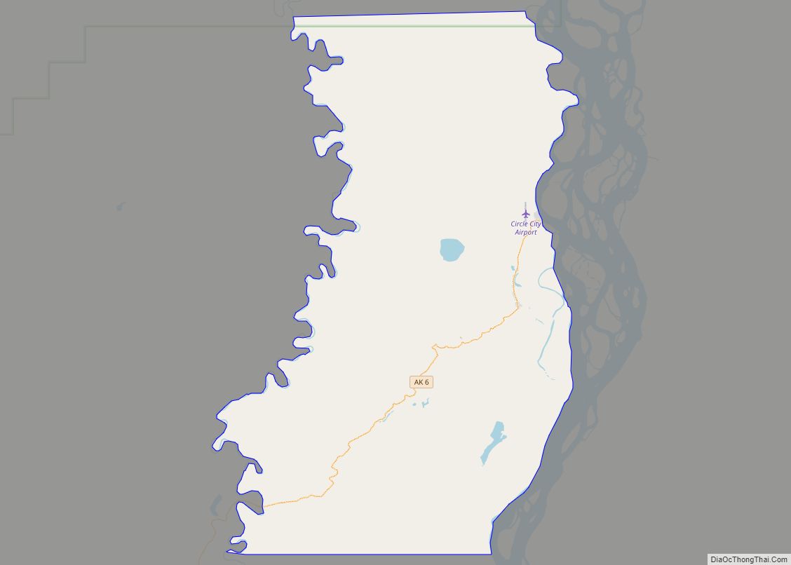
Map of Chuathbaluk city

Map of Chuathbaluk city

Chuathbaluk (Central Yupik: Curarpalek) is a city in Bethel Census Area, Alaska, United States. At the 2010 census the population was 118, down from 119 in 2000. Chuathbaluk city overview: Name: Chuathbaluk city LSAD Code: 25 LSAD Description: city (suffix) State: Alaska County: Bethel Census Area Incorporated: 1975 Elevation: 154 ft (47 m) Total Area: 6.22 sq mi (16.12 km²) … Read more

Map of Chitina CDP

Map of Chitina CDP

Chitina (Ahtna Athabascan Tsedi Na’ [tʃɛ.diː.näʔ] < tsedi “copper” + na’ “river”) is a census-designated place (CDP) in Copper River Census Area, Alaska, United States. At the 2010 census the population was 126, up from 123 in 2000. Chitina CDP overview: Name: Chitina CDP LSAD Code: 57 LSAD Description: CDP (suffix) State: Alaska County: Valdez-Cordova … Read more

Map of Coffman Cove city

Map of Coffman Cove city

Coffman Cove (Lingít: Tatxánk) is a city in Prince of Wales-Hyder Census Area, Alaska, in the United States. Located on Prince of Wales Island, its population was 176 at the 2010 census, down from 199 in 2000. Coffman Cove city overview: Name: Coffman Cove city LSAD Code: 25 LSAD Description: city (suffix) State: Alaska County: … Read more

Map of Clark's Point city

Map of Clark’s Point city

Clark’s Point (Central Yupik: Saguyaq) is a city in Dillingham Census Area, Alaska, United States. The population was 62 at the 2010 census. Clark’s Point city overview: Name: Clark’s Point city LSAD Code: 25 LSAD Description: city (suffix) State: Alaska County: Dillingham Census Area Total Area: 4.11 sq mi (10.64 km²) Land Area: 3.32 sq mi (8.61 km²) Water Area: 0.79 sq mi … Read more

Map of Clam Gulch CDP

Map of Clam Gulch CDP

Clam Gulch (Dena’ina: Qałnigi D’nazludt) is a census-designated place (CDP) in Kenai Peninsula Borough, Alaska, United States. At the 2020 census, the population was 207. Clam Gulch CDP overview: Name: Clam Gulch CDP LSAD Code: 57 LSAD Description: CDP (suffix) State: Alaska County: Kenai Peninsula Borough Elevation: 269 ft (82 m) Total Area: 13.35 sq mi (34.57 km²) Land Area: … Read more

Map of Cohoe CDP

Map of Cohoe CDP

Cohoe (Dena’ina: Qughuhnaz’ut) is a census-designated place (CDP) in Kenai Peninsula Borough, Alaska, United States. At the 2010 census the population was 1,364, up from 1,168 in 2000. Cohoe CDP overview: Name: Cohoe CDP LSAD Code: 57 LSAD Description: CDP (suffix) State: Alaska County: Kenai Peninsula Borough Elevation: 56 ft (17 m) Total Area: 73.37 sq mi (190.03 km²) Land Area: … Read more

Map of Coldfoot CDP

Map of Coldfoot CDP

Coldfoot is a census-designated place (CDP) in Yukon-Koyukuk Census Area in the U.S. state of Alaska. The population was 34 at the 2020 census. It is said that the name was derived from travelers getting “cold feet” about making the 240-some-mile journey north to Deadhorse. Coldfoot primarily serves as a truck stop on the Dalton … Read more

Map of Cold Bay city

Map of Cold Bay city

Cold Bay (Aleut: Udaamagax,; Sugpiaq: Pualu) is a city in Aleutians East Borough, Alaska, United States. As of the 2010 census, the population was 108, but at the 2020 census this had reduced to 50. Cold Bay is one of the main commercial centers of the Alaska Peninsula, which extends west towards the Aleutian Islands, … Read more

Map of Copper Center CDP

Map of Copper Center CDP

Copper Center (Tl’aticae’e in Ahtna) is a census-designated place (CDP) on the Copper River in Copper River Census Area, Alaska, United States. It is two hundred kilometers northeast of Anchorage. At the 2020 census the population was 338, up from 328 in 2000. Copper Center CDP overview: Name: Copper Center CDP LSAD Code: 57 LSAD … Read more

Map of Cooper Landing CDP

Map of Cooper Landing CDP

Cooper Landing is a census-designated place (CDP) in Kenai Peninsula Borough, Alaska, United States, about 100 miles (160 km) south of Anchorage, at the outlet of Kenai Lake into the Kenai River. The town was first settled in the 19th century by gold and mineral prospectors, and has become a popular summer tourist destination thanks to … Read more

Map of College CDP

Map of College CDP

College (Lower Tanana: Trothyeddha’) is a census-designated place (CDP) in Fairbanks North Star Borough, Alaska, United States. It is part of the Fairbanks, Alaska Metropolitan Statistical Area. As of the 2020 census, the population was 11,332, down from 12,964 in 2010. College is the third-most populated CDP in Alaska. College is adjacent to the city … Read more

Map of Craig city

Map of Craig city, Alaska

Craig (Tlingit: Sháan Séet) is a city in the Prince of Wales-Hyder Census Area in the Unorganized Borough in the U.S. state of Alaska. The population was 1,036 at the 2020 census, down from 1,201 in 2010. Craig city overview: Name: Craig city LSAD Code: 25 LSAD Description: city (suffix) State: Alaska County: Prince of … Read more