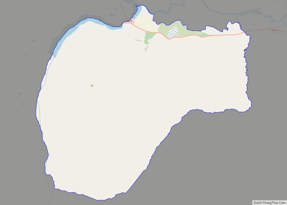
Map of Dot Lake CDP

Map of Dot Lake CDP

Dot Lake (Kelt’aaddh Menn’ in Tanacross) is a census-designated place (CDP) in Southeast Fairbanks Census Area, Alaska, United States. It is located on the Alaska Highway between Delta Junction and Tok. The population was 13 at the 2010 census, down from 19 in 2000. Dot Lake CDP overview: Name: Dot Lake CDP LSAD Code: 57 … Read more

Map of Dot Lake Village CDP

Map of Dot Lake Village CDP

Dot Lake Village (Kelt’aaddh Menn’ in Tanacross Athabascan) is a census-designated place (CDP) in Southeast Fairbanks Census Area, Alaska, United States. The population was 62 at the 2010 census, up from 38 in 2000. Dot Lake Village CDP overview: Name: Dot Lake Village CDP LSAD Code: 57 LSAD Description: CDP (suffix) State: Alaska County: Southeast … Read more

Map of Edna Bay city

Map of Edna Bay city

Edna Bay is a city on Kosciusko Island in the Prince of Wales-Hyder Census Area in the U.S. state of Alaska. The community was officially incorporated on October 13, 2014 and has a population of 42 as of the 2010 Census, down from 49 in 2000. Edna Bay is the only populated town on Kosciusko … Read more

Map of Eagle city

Map of Eagle city, Alaska

Eagle (Tthee T’äwdlenn in Hän Athabascan) is a village on the south bank of the Yukon River near the Canada–US border in the Southeast Fairbanks Census Area, Alaska, United States. It includes the Eagle Historic District, a U.S. National Historic Landmark. The population was 86 at the 2010 census. Every February, Eagle hosts a checkpoint … Read more

Map of Eagle Village CDP

Map of Eagle Village CDP

Eagle Village is a census-designated place (CDP) in Southeast Fairbanks Census Area, Alaska, United States. The population was 67 at the 2010 census. The village was destroyed in spring 2009 during severe flooding. Ice dams formed on the river, and the waters flooded behind them, destroying much of the old village. There were no fatalities. … Read more

Map of Eielson AFB CDP

Map of Eielson AFB CDP

Eielson Air Force Base (IATA: EIL, ICAO: PAEI, FAA LID: EIL) is a United States Air Force (USAF) base located approximately 26 miles (42 km) southeast of Fairbanks, Alaska, and just southeast of Moose Creek, Alaska. It was established in 1943 as Mile 26 Satellite Field and redesignated Eielson Air Force Base on 13 January 1948. … Read more

Map of Egegik city

Map of Egegik city

Egegik (Central Yupik: Igyagiiq; Sugpiaq: Igya’iq, Igyagiq) is a city in Lake and Peninsula Borough, Alaska, United States. As of the 2020 census, the population of the city is 39, down from 109 in 2010. It has been home to cannery operations. If the city’s population somehow exploded in the decades to come, it will potentially become … Read more

Map of Eek city

Map of Eek city

Eek (Central Yupik: Iik) is a city in Bethel Census Area, Alaska, United States. As of the 2020 census there were 404 residents, the majority of whom being Alaska Natives. Eek city overview: Name: Eek city LSAD Code: 25 LSAD Description: city (suffix) State: Alaska County: Bethel Census Area Incorporated: July 9, 1970 Elevation: 3 ft … Read more

Map of Elim city

Map of Elim city, Alaska

Elim (Central Yupik: Neviarcaurluq; Inupiaq: Nivviaqhchauġluq) is a city in Nome Census Area, Alaska, United States. At the 2010 census the population was 330, up from 313 in 2000. Elim city overview: Name: Elim city LSAD Code: 25 LSAD Description: city (suffix) State: Alaska County: Nome Census Area Incorporated: October 17, 1970 Elevation: 36 ft (11 m) … Read more

Map of Elfin Cove CDP

Map of Elfin Cove CDP

Elfin Cove (Lingít: X̱’óot’k’) is a census-designated place (CDP) near the northwestern corner of Chichagof Island in Hoonah-Angoon Census Area, Alaska, United States. The population was 20 at the 2010 census, down from 32 at the 2000 census. Elfin Cove CDP overview: Name: Elfin Cove CDP LSAD Code: 57 LSAD Description: CDP (suffix) State: Alaska … Read more

Map of Ekwok city

Map of Ekwok city

Ekwok (Central Yupik: Iquaq) is a city in Dillingham Census Area, Alaska, United States. At the 2020 census, the population was 111. Ekwok city overview: Name: Ekwok city LSAD Code: 25 LSAD Description: city (suffix) State: Alaska County: Dillingham Census Area Incorporated: 1974 Elevation: 98 ft (30 m) Total Area: 18.01 sq mi (46.64 km²) Land Area: 16.75 sq mi (43.37 km²) Water … Read more

Map of Ester CDP

Map of Ester CDP

Ester is a census-designated place (CDP) in Fairbanks North Star Borough, Alaska, United States. It is part of the Fairbanks, Alaska Metropolitan Statistical Area. The population in the CDP was 2,422 at the 2010 census, although there are only around 12 houses located inside of the village, the rest are in the surrounding area. The … Read more