Eagle (Tthee T’äwdlenn in Hän Athabascan) is a village on the south bank of the Yukon River near the Canada–US border in the Southeast Fairbanks Census Area, Alaska, United States. It includes the Eagle Historic District, a U.S. National Historic Landmark. The population was 86 at the 2010 census. Every February, Eagle hosts a checkpoint for the long-distance Yukon Quest sled dog race.
| Name: | Eagle city |
|---|---|
| LSAD Code: | 25 |
| LSAD Description: | city (suffix) |
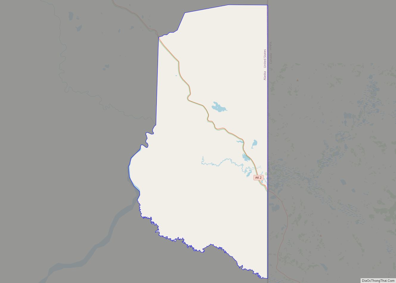
| State: | Alaska |
| County: | Southeast Fairbanks Census Area |
| Incorporated: | February 9, 1901 |
| Elevation: | 853 ft (260 m) |
| Total Area: | 0.88 sq mi (2.28 km²) |
| Land Area: | 0.88 sq mi (2.28 km²) |
| Water Area: | 0.00 sq mi (0.00 km²) |
| Total Population: | 83 |
| Population Density: | 94.21/sq mi (36.36/km²) |
| ZIP code: | 99738 |
| Area code: | 907 |
| FIPS code: | 0220380 |
| GNISfeature ID: | 1401499 |
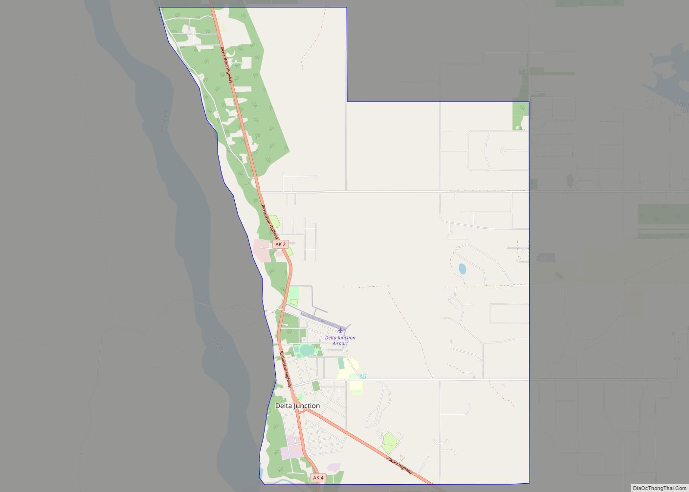
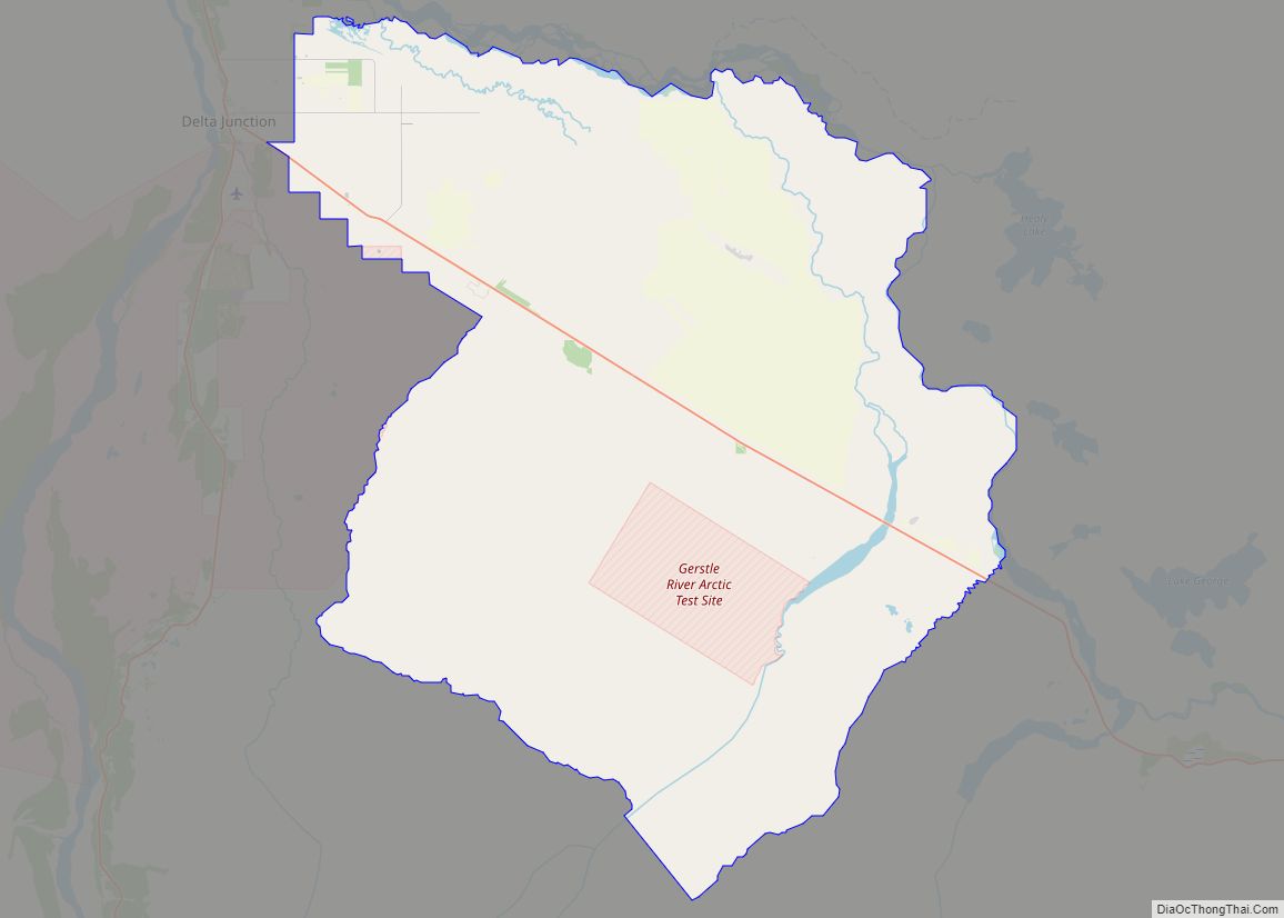
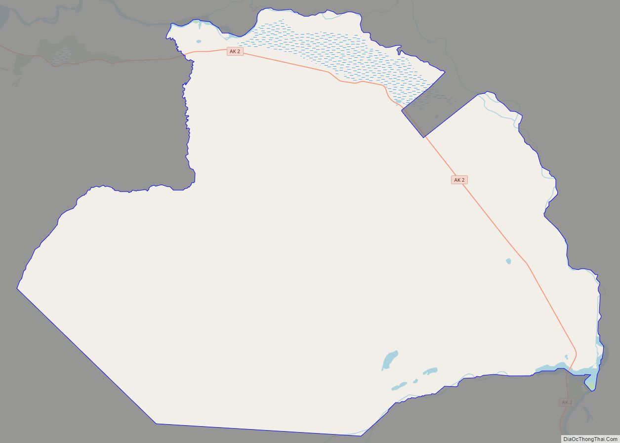
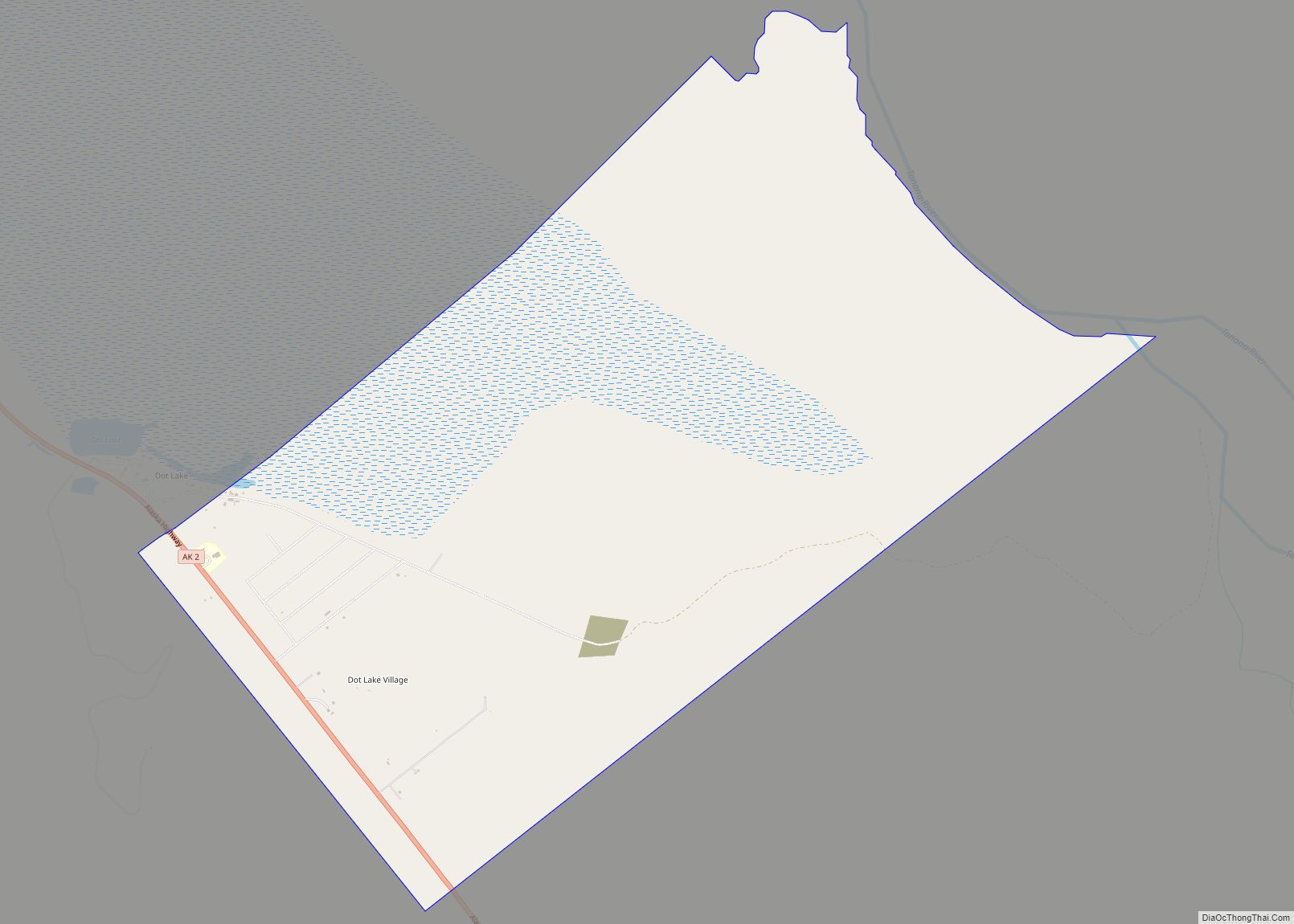
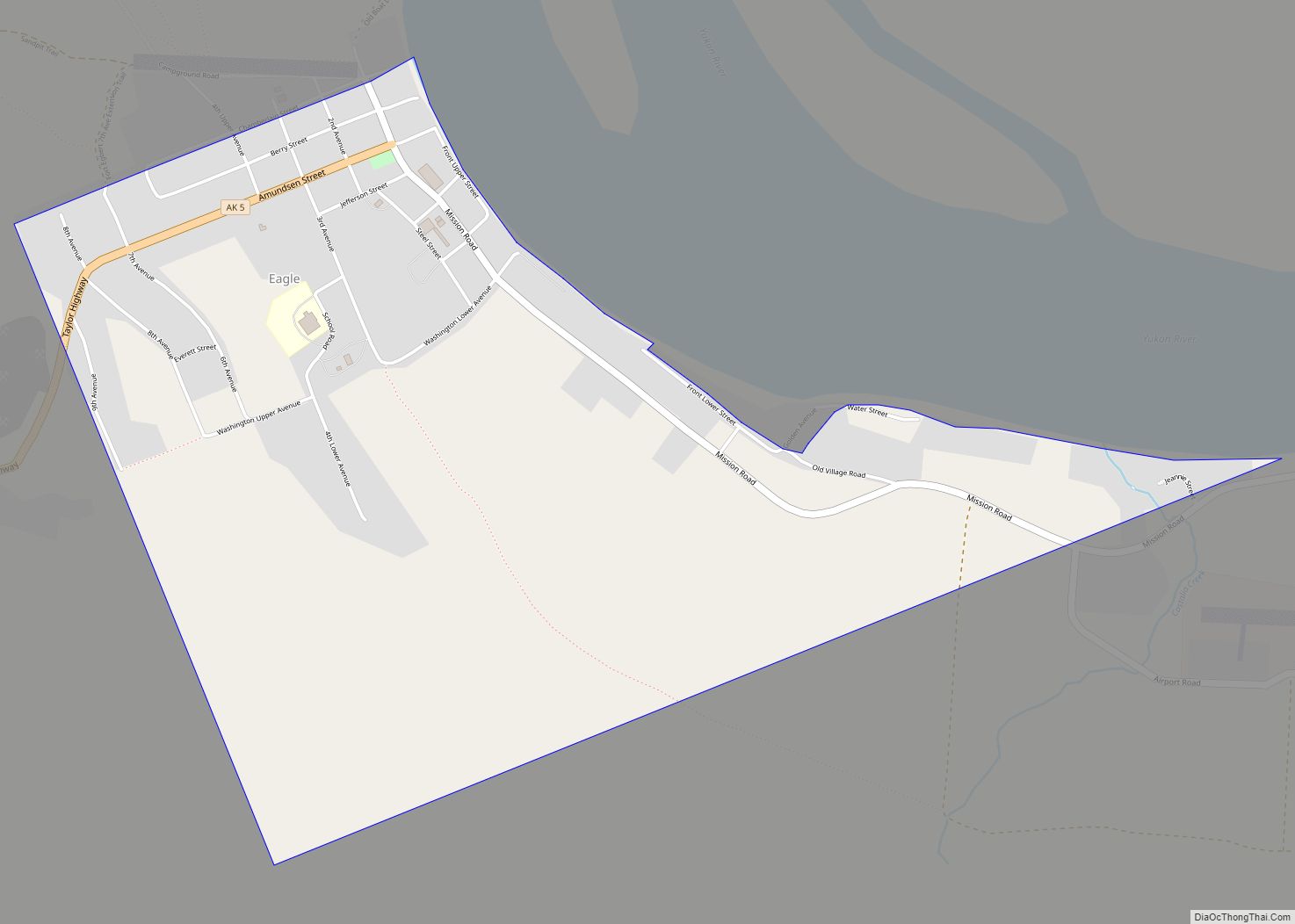
Online Interactive Map
Click on ![]() to view map in "full screen" mode.
to view map in "full screen" mode.
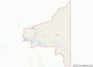
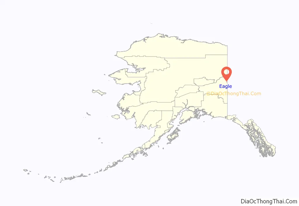
Eagle location map. Where is Eagle city?
History
For thousands of years prior to Europeans arriving in Alaska, the Eagle area was home to many indigenous peoples, including the Han.
The first known American-built structure in Eagle was a log trading post called “Belle Isle”, erected around 1874. Subsequently, in the late 1800s, Eagle became a supply and trading center for miners working the upper Yukon River and its tributaries. By the year 1898, Eagle’s population had exceeded 1,700 persons; many newcomers journeyed to the area with word of the Klondike Gold Rush.
In 1901, Eagle became the first incorporated city of the Alaska Interior. It was named for the many eagles that nested on nearby Eagle Bluff. A United States Army camp, Fort Egbert, was built at Eagle in 1900. A telegraph line between Eagle and Valdez was completed in 1903. In 1905, Roald Amundsen arrived in Eagle and telegraphed the news of the Northwest Passage to the rest of the world.
The ensuing gold rushes in Nome and Fairbanks eventually lured people away from Eagle. In 1903, Judge James Wickersham moved the Third Division court from Eagle to Fairbanks. By 1910, Eagle’s population had declined to its present-day level, below 200 people. Fort Egbert was abandoned in 1911.
Present-day Eagle is home to (mostly) people of European descent; nearby Eagle Village has a small population that is about 50 percent Han.
The town enjoyed some notoriety, as the setting of John McPhee’s book Coming into the Country, first published in 1977 and becoming quite popular. Many of the buildings from the Gold Rush years are preserved as part of the Eagle Historic District, a National Historic Landmark district.
The Eagle area also is one of the locales featured on the National Geographic Channel series Life Below Zero.
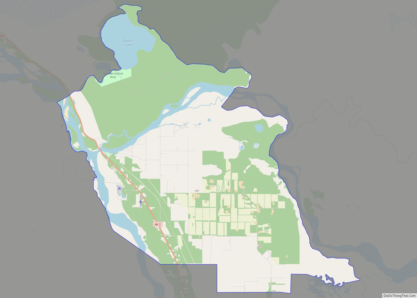
Eagle Road Map
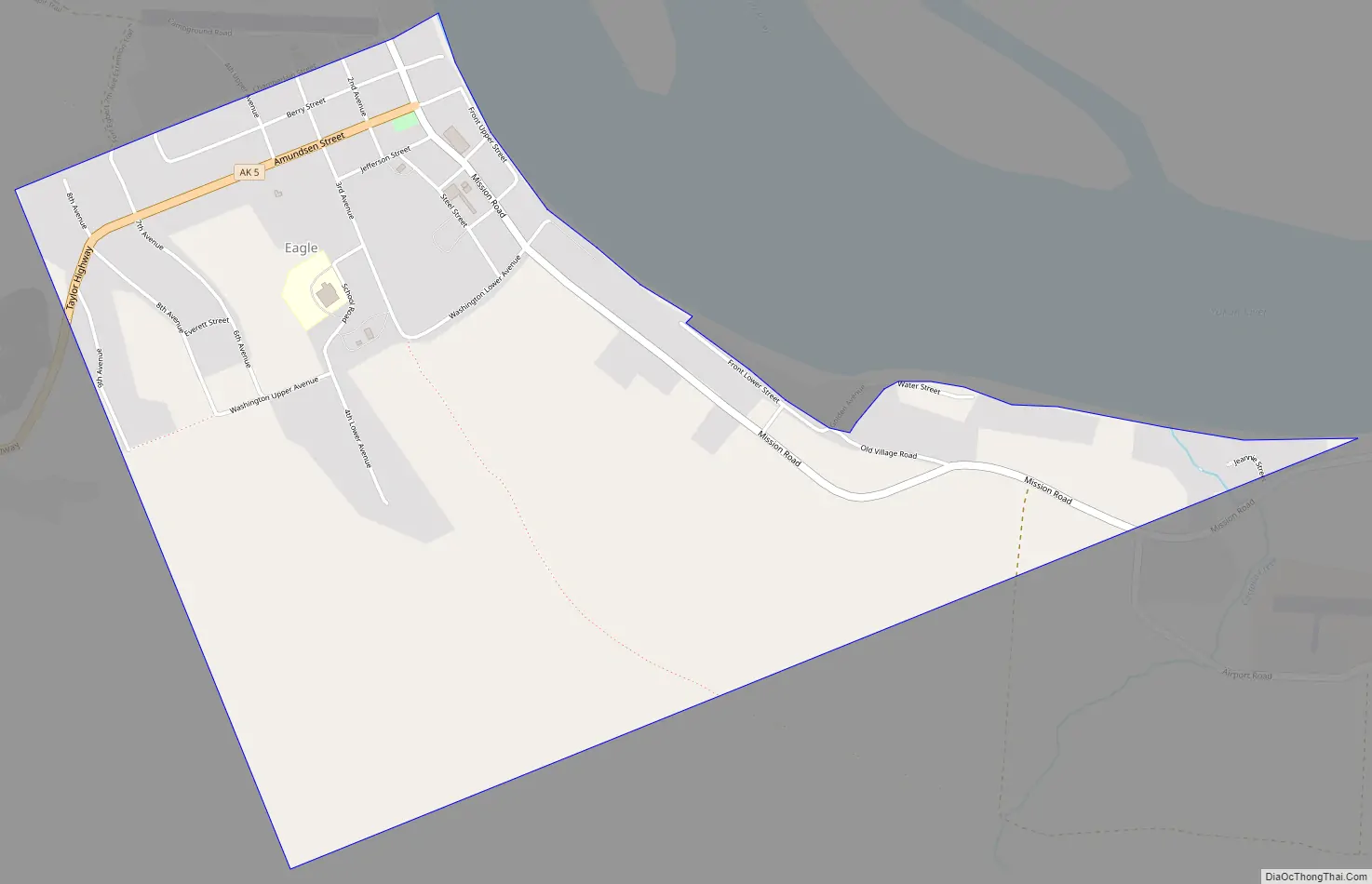
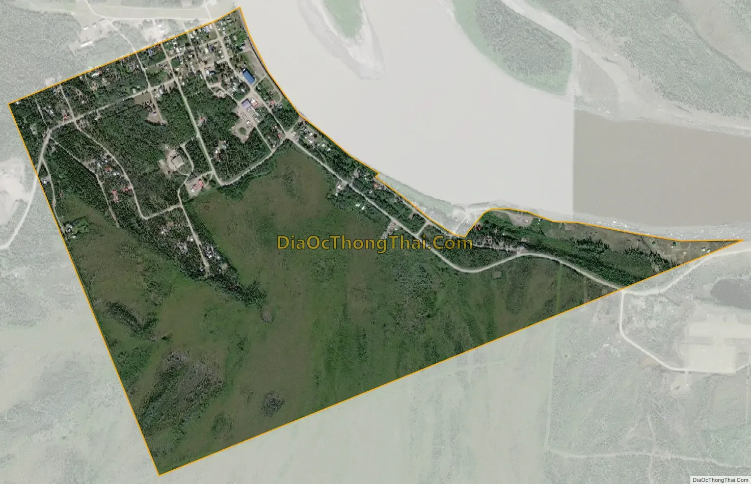
Eagle city Satellite Map
Geography
Eagle is located at 64°47′10″N 141°12′0″W / 64.78611°N 141.20000°W / 64.78611; -141.20000 (64.786022, -141.199917), in a straight line about 5.9 miles (9.5 km) west of the border between Alaska and the Yukon Territory of Canada at the 141st meridian west.
Eagle is on the southern bank of the Yukon River at the end of the Taylor Highway, near Yukon–Charley Rivers National Preserve.
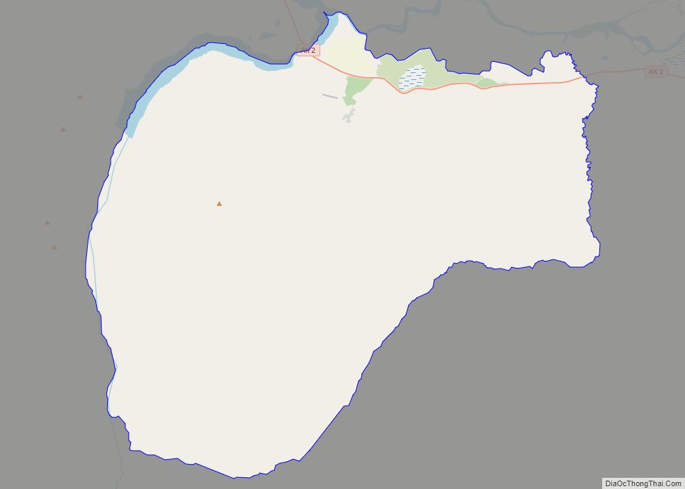
According to the United States Census Bureau, the city has a total area of 1.0-square-mile (2.6 km), all land.
See also
Map of Alaska State and its subdivision:- Aleutians East
- Aleutians West
- Anchorage
- Bethel
- Bristol Bay
- Denali
- Dillingham
- Fairbanks North Star
- Haines
- Juneau
- Kenai Peninsula
- Ketchikan Gateway
- Kodiak Island
- Lake and Peninsula
- Matanuska-Susitna
- Nome
- North Slope
- Northwest Arctic
- Prince of Wales-Outer Ketchi
- Sitka
- Skagway-Yakutat-Angoon
- Southeast Fairbanks
- Valdez-Cordova
- Wade Hampton
- Wrangell-Petersburg
- Yukon-Koyukuk
- Alabama
- Alaska
- Arizona
- Arkansas
- California
- Colorado
- Connecticut
- Delaware
- District of Columbia
- Florida
- Georgia
- Hawaii
- Idaho
- Illinois
- Indiana
- Iowa
- Kansas
- Kentucky
- Louisiana
- Maine
- Maryland
- Massachusetts
- Michigan
- Minnesota
- Mississippi
- Missouri
- Montana
- Nebraska
- Nevada
- New Hampshire
- New Jersey
- New Mexico
- New York
- North Carolina
- North Dakota
- Ohio
- Oklahoma
- Oregon
- Pennsylvania
- Rhode Island
- South Carolina
- South Dakota
- Tennessee
- Texas
- Utah
- Vermont
- Virginia
- Washington
- West Virginia
- Wisconsin
- Wyoming