Map of Fox River CDP

Map of Fox River CDP

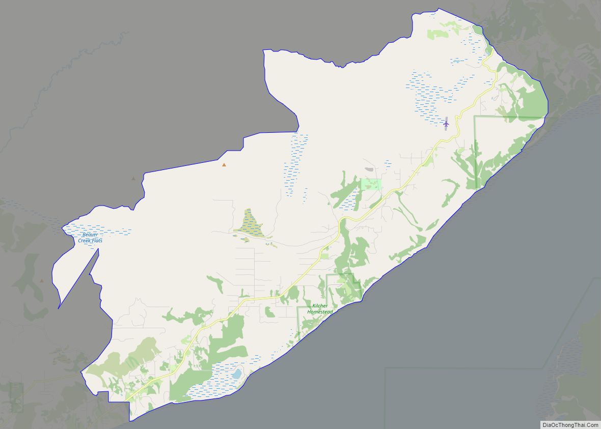
Fox River is a census-designated place (CDP) in Kenai Peninsula Borough, Alaska, United States. At the 2010 census the population was 685, up from 616 in 2000. It was first reported by the U.S. Geological Survey in 1895. The Fox River, which flows by the CDP, might have been named for Theodore Fox, a local … Read more

Map of Four Mile Road CDP

Map of Four Mile Road CDP

Four Mile Road is a census-designated place (CDP) in Yukon-Koyukuk Census Area, Alaska, United States. The population was 43 at the 2010 census, up from 38 in 2000. Four Mile Road CDP overview: Name: Four Mile Road CDP LSAD Code: 57 LSAD Description: CDP (suffix) State: Alaska County: Yukon-Koyukuk Census Area Total Area: 1.16 sq mi (3.01 km²) … Read more

Map of Funny River CDP

Map of Funny River CDP

Funny River is a census-designated place (CDP) in Kenai Peninsula Borough, Alaska, United States. At the 2010 census the population was 877, up from 636 in 2000. It is best known for the Funny River Fire in May 2014. Funny River CDP overview: Name: Funny River CDP LSAD Code: 57 LSAD Description: CDP (suffix) State: … Read more

Map of Fritz Creek CDP

Map of Fritz Creek CDP

Fritz Creek is a census-designated place (CDP) in the Kenai Peninsula Borough, Alaska, United States, northeast of Homer. At the 2020 census the population was 2,248, up from 1,932 in 2010. Fritz Creek CDP overview: Name: Fritz Creek CDP LSAD Code: 57 LSAD Description: CDP (suffix) State: Alaska County: Kenai Peninsula Borough Elevation: 1,198 ft (365 m) … Read more

Map of Fox CDP

Map of Fox CDP

Fox is a census-designated place (CDP) in Fairbanks North Star Borough, Alaska, United States. It is part of the Fairbanks, Alaska Metropolitan Statistical Area. At the 2010 census the population was 417, up from 300 in 2000. Fox CDP overview: Name: Fox CDP LSAD Code: 57 LSAD Description: CDP (suffix) State: Alaska County: Fairbanks North … Read more

Map of Gambell city

Map of Gambell city

Gambell (GAM-bull) (Central Siberian Yupik: Sivuqaq, Russian: Гамбелл) is a city in the Nome Census Area of the U.S. state of Alaska. Located on St. Lawrence Island, it had a population of 681 at the 2010 census, up from 649 in 2000. Gambell city overview: Name: Gambell city LSAD Code: 25 LSAD Description: city (suffix) … Read more

Map of Galena city

Map of Galena city, Alaska

Galena (/ɡəˈliːnə/) (Notaalee Denh in Koyukon) is a city in the Yukon-Koyukuk Census Area in the U.S. state of Alaska. At the 2020 census the population was 472, slightly up from 470 in 2010. Galena was established in 1918, and a military airfield was built adjacent to the city during World War II. The city … Read more

Map of Gakona CDP

Map of Gakona CDP

Gakona /ɡəˈkoʊnə/ (Ggax Kuna’ in Ahtna Athabascan) is a census-designated place (CDP) in the Copper River Census Area in the U.S. state of Alaska. As of the 2020 census, the population of the CDP was 169, down from 218 in 2010. Gakona CDP overview: Name: Gakona CDP LSAD Code: 57 LSAD Description: CDP (suffix) State: … Read more

Map of Glacier View CDP

Map of Glacier View CDP

Glacier View is a census-designated place (CDP) in Matanuska-Susitna Borough, Alaska, United States. It is part of the Anchorage Metropolitan Area. At the 2020 census the population was 375, up from 234 in 2010. The terminus of Matanuska Glacier is located approximately three miles southwest of Glacier View. Glacier View CDP overview: Name: Glacier View … Read more

Map of Gateway CDP

Map of Gateway CDP, Alaska

Gateway is a census-designated place (CDP) in Matanuska-Susitna Borough, Alaska, United States. It is part of the Anchorage, Alaska Metropolitan Statistical Area. The population was 5,748 at the 2020 census, up from 5,552 in 2010. Gateway is the fifth-most populated CDP in the borough. Gateway CDP overview: Name: Gateway CDP LSAD Code: 57 LSAD Description: … Read more

Map of Game Creek CDP

Map of Game Creek CDP

Game Creek (Lingít: Xutshéeni) is a census-designated place (CDP) on Chichagof Island in Hoonah-Angoon Census Area, Alaska, United States. The population was 18 at the 2010 census, down from 35 at the 2000 census. Game Creek CDP overview: Name: Game Creek CDP LSAD Code: 57 LSAD Description: CDP (suffix) State: Alaska County: Hoonah-Angoon Census Area … Read more

Map of Golovin city

Map of Golovin city

Golovin (formerly Chinik, from Inupiaq: Siŋik or Central Yupik: Cingik; Russian: Головин) is a city in Nome Census Area, Alaska, United States. At the 2010 census the population was 156, up from 144 in 2000. Golovin city overview: Name: Golovin city LSAD Code: 25 LSAD Description: city (suffix) State: Alaska County: Nome Census Area Incorporated: … Read more