Fort Yukon (Gwichyaa Zheh in Gwich’in) is a city in the Yukon-Koyukuk Census Area in the U.S. state of Alaska, straddling the Arctic Circle. The population, predominantly Gwich’in Alaska Natives, was 583 at the 2010 census, down from 595 in 2000.
Fort Yukon was the hometown of the late Alaska Congressman Don Young. Served by Fort Yukon Airport, it is also known for having the record highest temperature in Alaska.
| Name: | Fort Yukon city |
|---|---|
| LSAD Code: | 25 |
| LSAD Description: | city (suffix) |
| State: | Alaska |
| County: | Yukon-Koyukuk Census Area |
| Incorporated: | February 17, 1959 |
| Elevation: | 427 ft (130 m) |
| Total Area: | 6.94 sq mi (17.97 km²) |
| Land Area: | 6.74 sq mi (17.47 km²) |
| Water Area: | 0.20 sq mi (0.51 km²) |
| Total Population: | 428 |
| Population Density: | 63.46/sq mi (24.50/km²) |
| ZIP code: | 99740 |
| Area code: | 907 |
| FIPS code: | 0226760 |
| GNISfeature ID: | 1402276 |
Online Interactive Map
Click on ![]() to view map in "full screen" mode.
to view map in "full screen" mode.
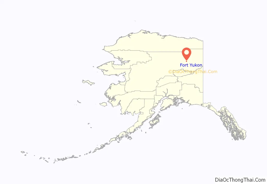
Fort Yukon location map. Where is Fort Yukon city?
History
This area north of the Arctic Circle was occupied for thousands of years by cultures of indigenous people and in historic times by the Gwich’in people. Gwich’yaa Zhee means “House on the Flats” in Gwichʼin.
What became the village of Fort Yukon developed from a trading post, Fort Yukon, established by Alexander Hunter Murray of the Hudson’s Bay Company, on 25 June 1847. Murray drew numerous sketches of fur trade posts and of people and wrote the Journal of the Yukon, 1847–48, which gave valuable insight into the culture of the Gwich’in at the time. While the post was in Russian America, the Hudson’s Bay Company continued to trade there until the American traders expelled it in 1869, following the Alaska Purchase when the Alaska Commercial Company took over the post.
During the Klondike Gold Rush, in the winter of 1897–1898, Fort Yukon received two hundred prospectors from Dawson City, which was short of supply. A post office was established on July 12, 1898, with John Hawksly as its first postmaster. The settlement suffered over the following decades as a result of several infectious disease epidemics and a 1949 flood.
During the 1950s, the United States Air Force established a base and radar station at Fort Yukon; the town was officially incorporated in 1959. Since the late 20th century, due in part to its extreme northerly location and its proximity to Fairbanks, it has become a minor tourist destination.
On February 7, 1984, a Terrier Malemute-type sounding rocket, with a maximum altitude of 310 miles (500 km), was launched from Fort Yukon.
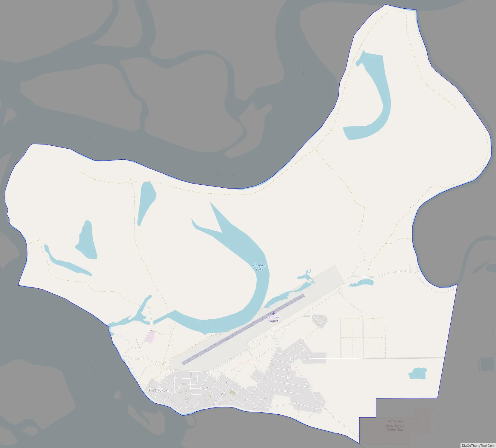
Fort Yukon Road Map
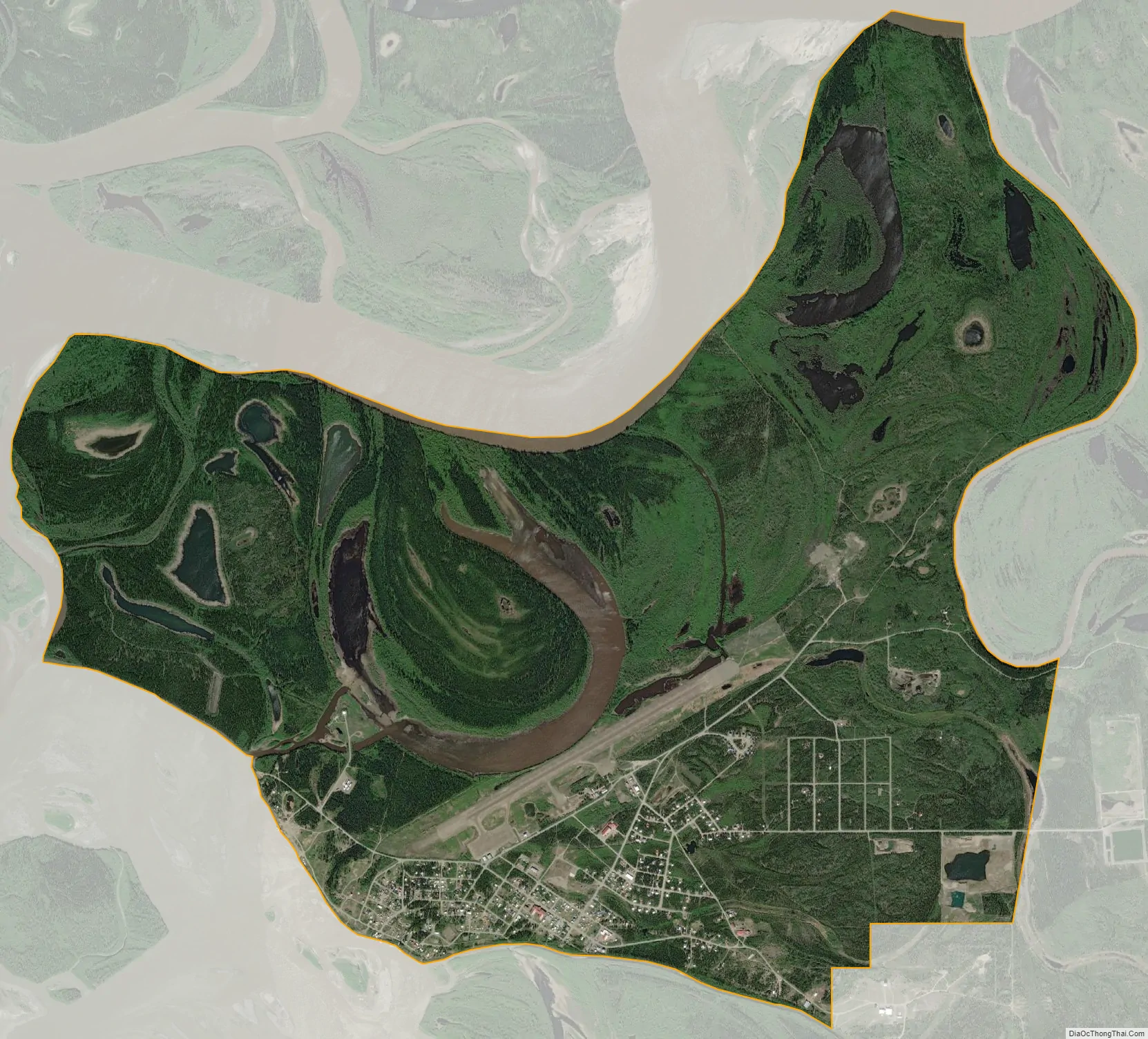
Fort Yukon city Satellite Map
Geography
Fort Yukon is located at 66°34′2″N 145°15′23″W / 66.56722°N 145.25639°W / 66.56722; -145.25639 (66.567586, -145.256327). Fort Yukon is located on the north bank of the Yukon River at its confluence with the Porcupine River, about 145 miles (233 km) northeast of Fairbanks.
As of 2014, the Arctic Circle passes through the southern portion of the city at 66°33′48.1″N 145°15′23″W / 66.563361°N 145.25639°W / 66.563361; -145.25639. Due to long-term oscillations in the Earth’s axis, the Arctic Circle currently shifts northward by about 14.5 metres (48 ft) per year, though varying substantially from year to year due to the complexity of the movement.
According to the United States Census Bureau, Yukon City has a total area of 7.4 square miles (19 km), of which 7.0 square miles (18 km) of it is land and 0.4 square miles (1.0 km) of it (5.65%) is water.
See also
Map of Alaska State and its subdivision:- Aleutians East
- Aleutians West
- Anchorage
- Bethel
- Bristol Bay
- Denali
- Dillingham
- Fairbanks North Star
- Haines
- Juneau
- Kenai Peninsula
- Ketchikan Gateway
- Kodiak Island
- Lake and Peninsula
- Matanuska-Susitna
- Nome
- North Slope
- Northwest Arctic
- Prince of Wales-Outer Ketchi
- Sitka
- Skagway-Yakutat-Angoon
- Southeast Fairbanks
- Valdez-Cordova
- Wade Hampton
- Wrangell-Petersburg
- Yukon-Koyukuk
- Alabama
- Alaska
- Arizona
- Arkansas
- California
- Colorado
- Connecticut
- Delaware
- District of Columbia
- Florida
- Georgia
- Hawaii
- Idaho
- Illinois
- Indiana
- Iowa
- Kansas
- Kentucky
- Louisiana
- Maine
- Maryland
- Massachusetts
- Michigan
- Minnesota
- Mississippi
- Missouri
- Montana
- Nebraska
- Nevada
- New Hampshire
- New Jersey
- New Mexico
- New York
- North Carolina
- North Dakota
- Ohio
- Oklahoma
- Oregon
- Pennsylvania
- Rhode Island
- South Carolina
- South Dakota
- Tennessee
- Texas
- Utah
- Vermont
- Virginia
- Washington
- West Virginia
- Wisconsin
- Wyoming


