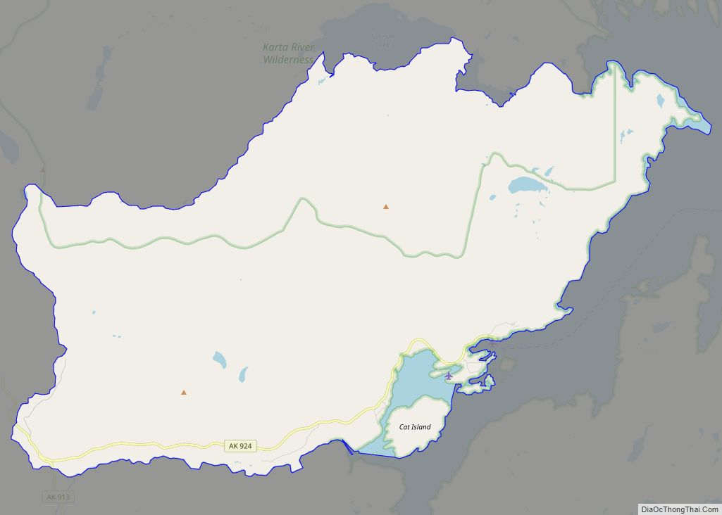
Hollis is a census-designated place (CDP) in Prince of Wales-Hyder Census Area, Alaska, United States. At the 2020 census the population was 65, down from 139 in 2000. Hollis CDP overview: Name: Hollis CDP LSAD Code: 57 LSAD Description: CDP (suffix) State: Alaska County: Prince of Wales-Hyder Census Area Elevation: 190 ft (58 m) Total Area: 66.02 sq mi ... Read more
Map of US Cities and Places
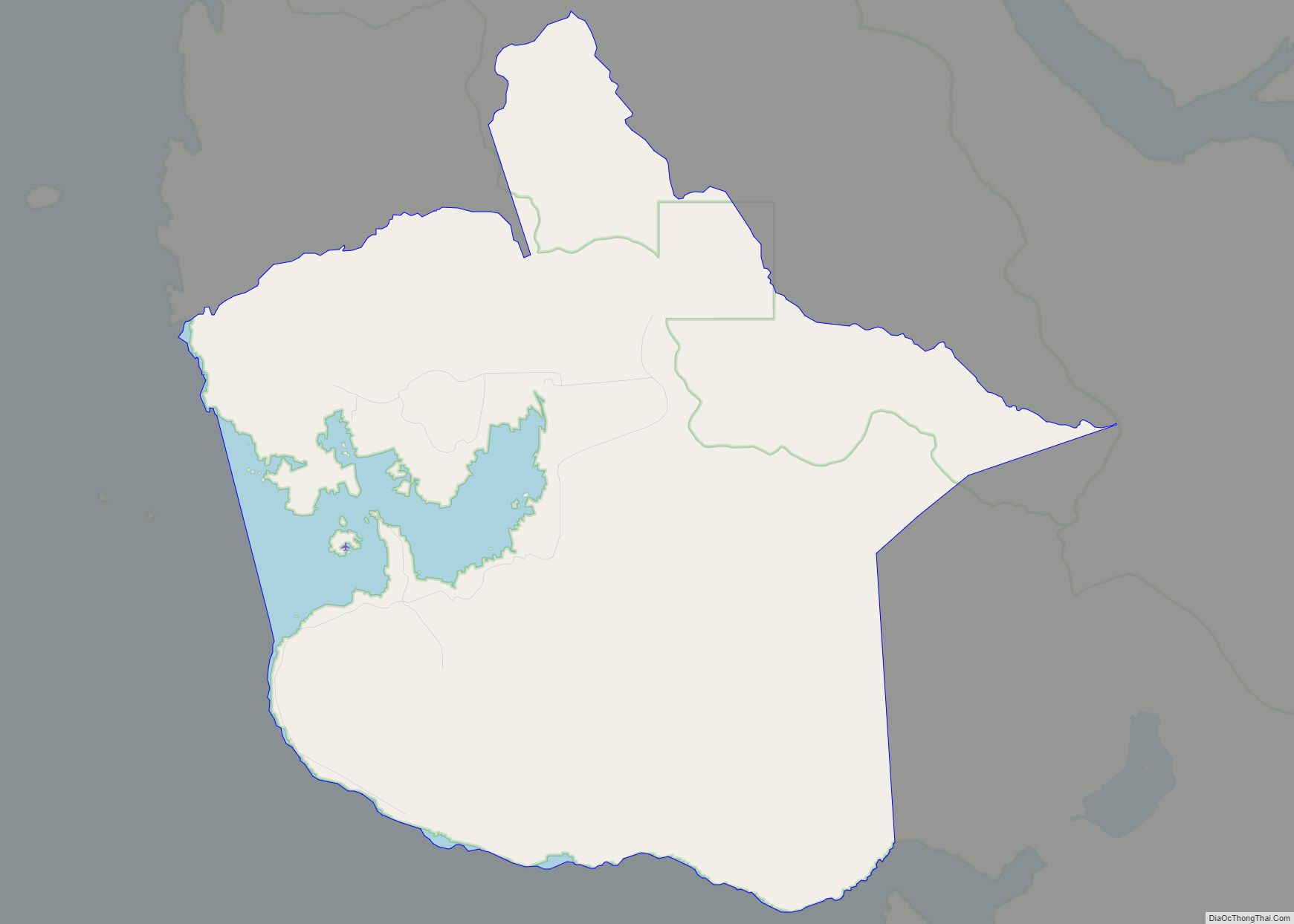
Hobart Bay is a census-designated place that was located in Hoonah-Angoon Census Area, Alaska during the 2010 United States Census, but is now part of Petersburg Borough. As of the 2010 Census, the population of the CDP was one, down from three in 2000. The bay was named in 1889 by Lieutenant Commander Mansfield of ... Read more
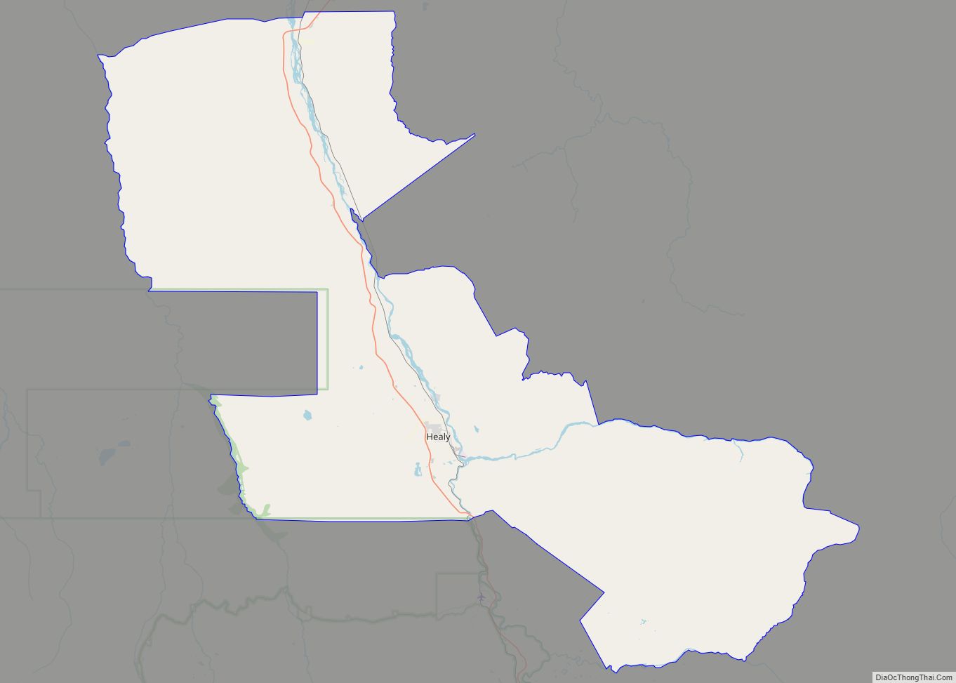
Healy is a census-designated place (CDP) and the borough seat of Denali Borough in the U.S. state of Alaska. The population was 966 at the time of the 2020 census, down from 1,021 in 2010. Healy CDP overview: Name: Healy CDP LSAD Code: 57 LSAD Description: CDP (suffix) State: Alaska County: Denali Borough Elevation: 1,342 ft ... Read more
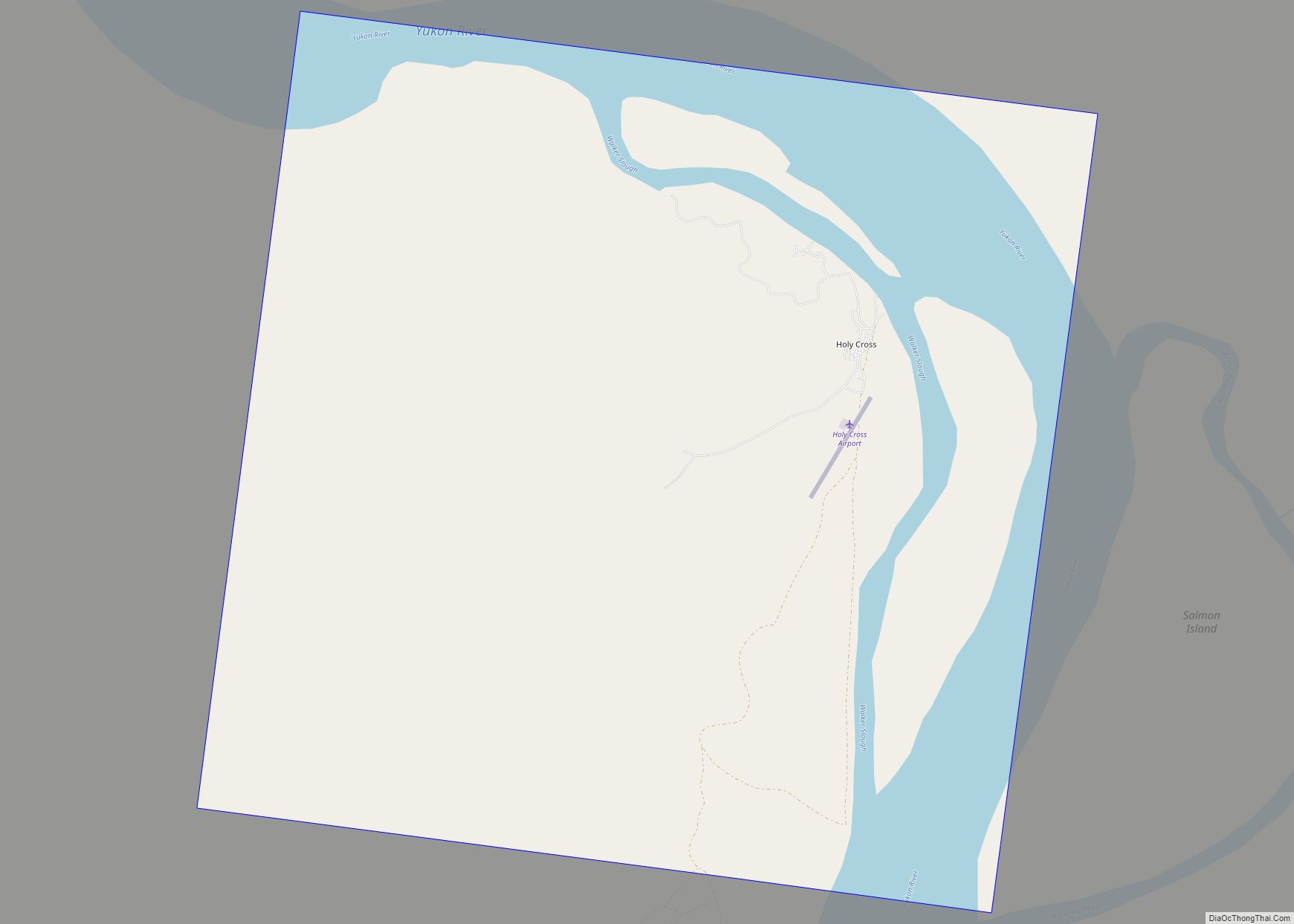
Holy Cross (Deloy Chet in Deg Xinag, Central Yupik: Ingirraller, Russian: Холи-Кросс) is a city in Yukon-Koyukuk Census Area, Alaska, United States. At the 2010 census the population was 178, down from 227 in 2000. Holy Cross city overview: Name: Holy Cross city LSAD Code: 25 LSAD Description: city (suffix) State: Alaska County: Yukon-Koyukuk Census ... Read more
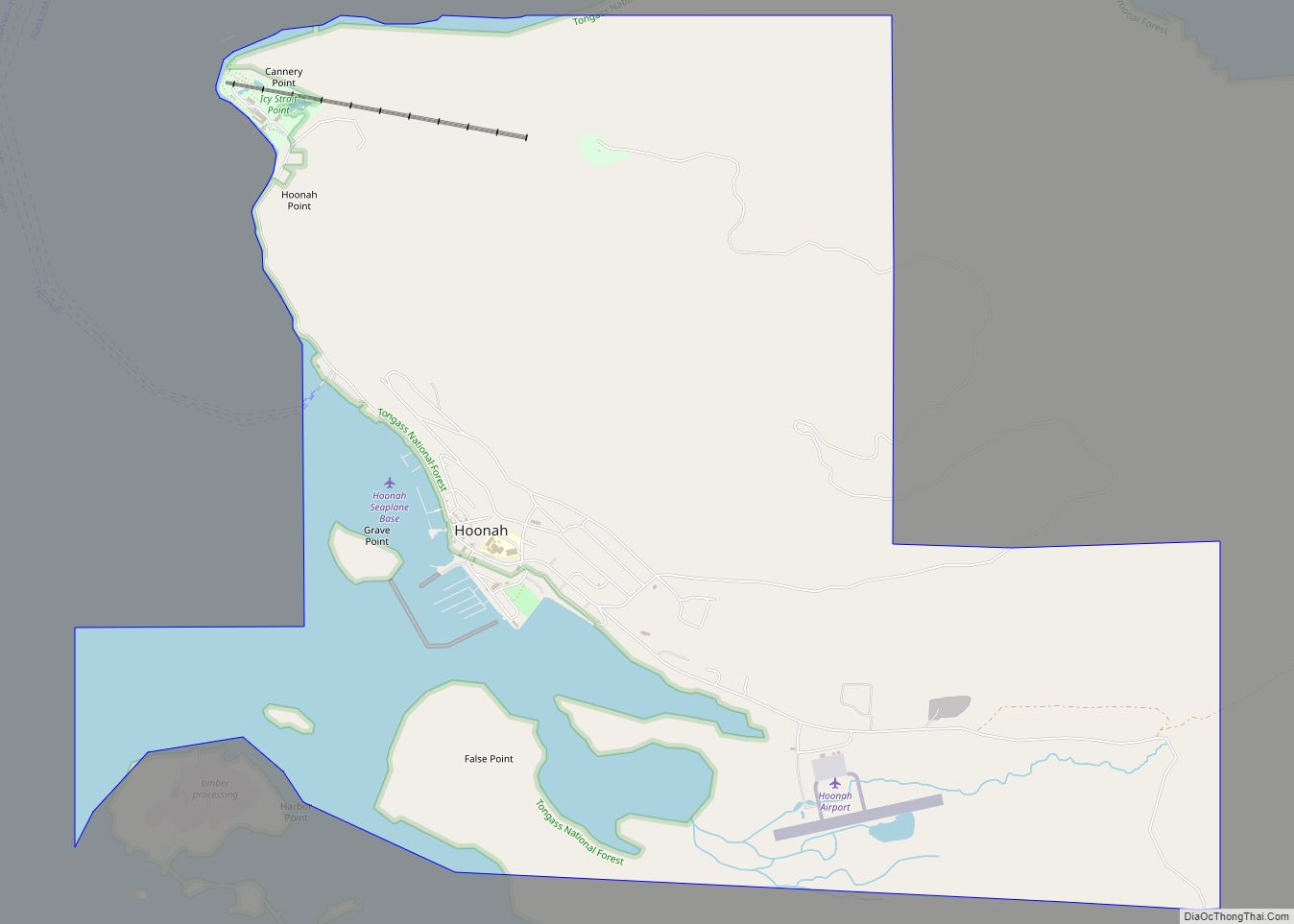
Hoonah (Tlingit: Xunaa or Gaaw Yat’aḵ Aan) is a largely Tlingit community on Chichagof Island, located in Alaska‘s panhandle in the southeast region of the state. It is 30 miles (48 km) west of Juneau, across the Alaskan Inside Passage. Hoonah is the only first-class city on Chichagof Island, the 109th-largest island in the world and ... Read more
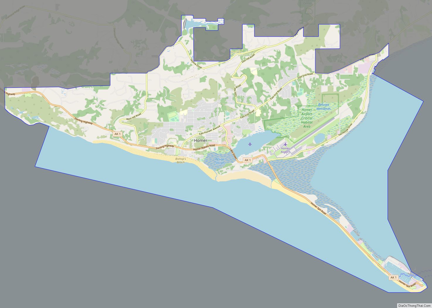
Homer city overview: Name: Homer city LSAD Code: 25 LSAD Description: city (suffix) State: Alaska County: Kenai Peninsula Borough Incorporated: March 31, 1964 Elevation: 95 ft (29 m) Total Area: 25.25 sq mi (65.41 km²) Land Area: 13.79 sq mi (35.71 km²) Water Area: 11.47 sq mi (29.70 km²) Total Population: 5,522 Population Density: 400.52/sq mi (154.64/km²) ZIP code: 99603 Area code: 907 FIPS code: 0233140 GNISfeature ... Read more
Houston is a city in Matanuska-Susitna Borough, Alaska, United States. It is part of the Anchorage, Alaska Metropolitan Statistical Area. It is located roughly 33 miles from downtown Anchorage, although it is a 58-mile drive by car between the two points. The population was 1,975 at the 2020 census, up from 1,912 in 2000. Houston ... Read more
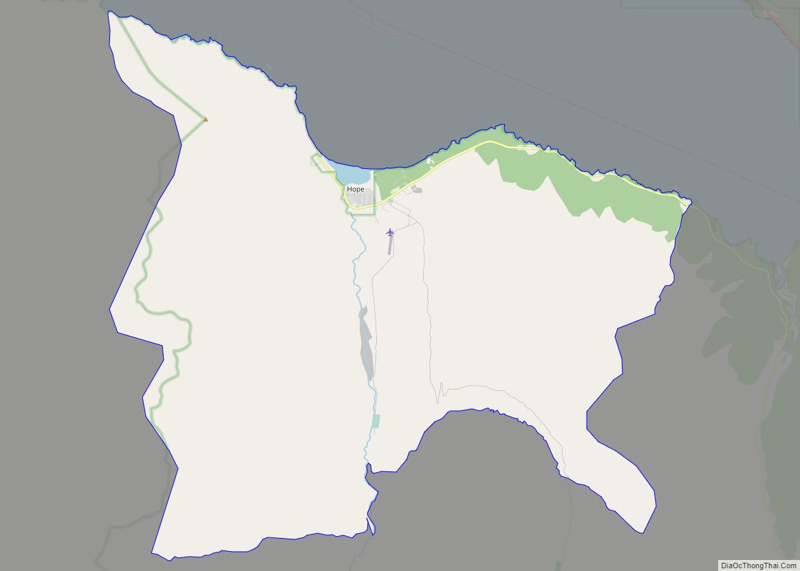
Hope is a census-designated place (CDP) in Kenai Peninsula Borough in the U.S. state of Alaska. It is eighty-seven miles south from Anchorage. As of the 2010 census the population was 192, up from 137 in 2000. Hope CDP overview: Name: Hope CDP LSAD Code: 57 LSAD Description: CDP (suffix) State: Alaska County: Kenai Peninsula ... Read more
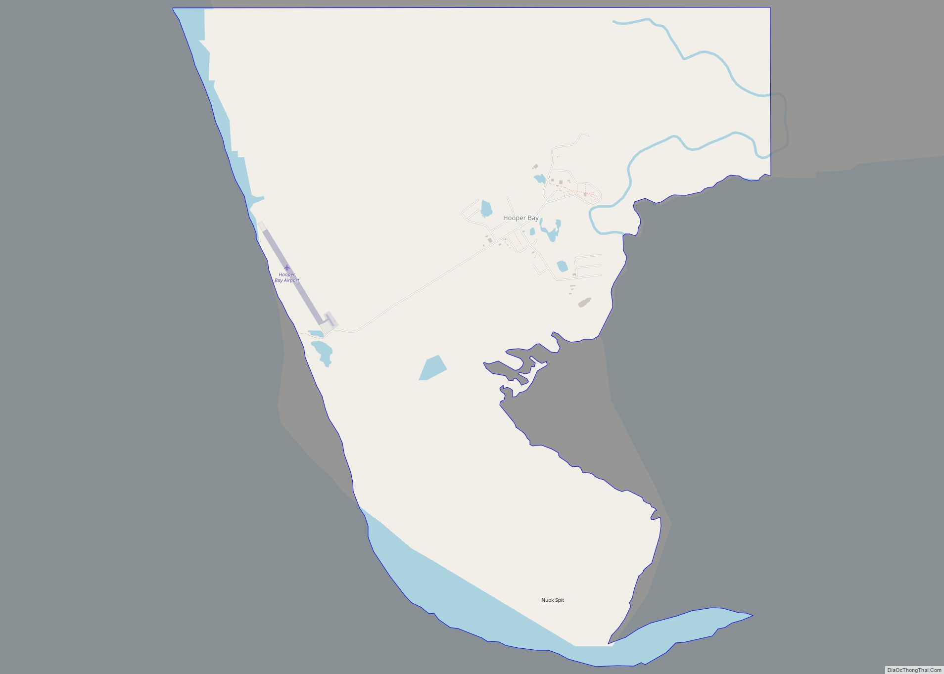
Hooper Bay (Central Yupik: Naparyaarmiut) is a city in Kusilvak Census Area, Alaska, United States. At the 2020 census the population was 1,375, up from 1,093 in 2010. On August 3, 2006, a major fire destroyed approximately fifteen acres of the city including thirty-five structures, twelve homes, the elementary school, middle school, high school, teacher ... Read more
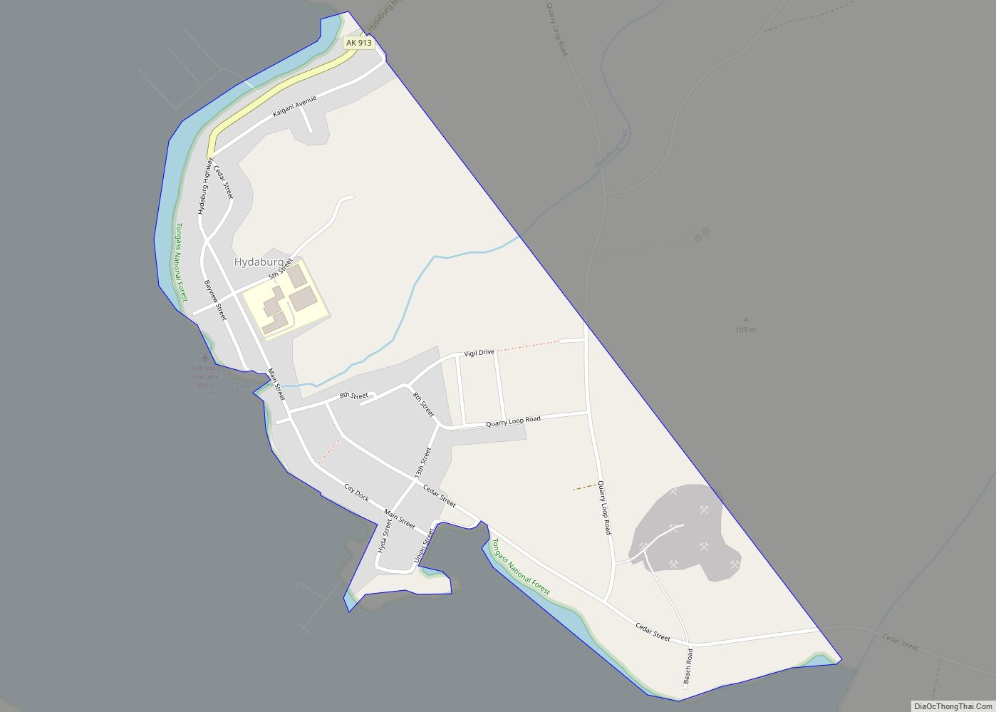
Hydaburg (/ˈhaɪdəbɜːrɡ/ HY-də-burg) (Higdáa G̱ándlaay in Haida) is a first-class city in the Prince of Wales-Hyder Census Area, in the U.S. state of Alaska. The population was 382 at the 2000 census and 376 as of the 2010 census. The name “Hydaburg” refers to the Haida people. Hydaburg city overview: Name: Hydaburg city LSAD Code: ... Read more
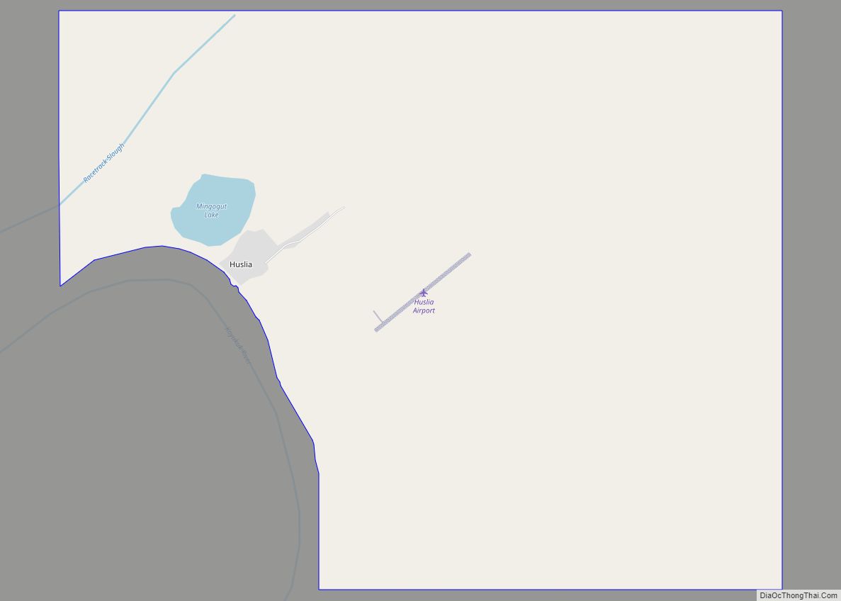
Huslia (/ˈhuːsliə/; Ts’aateyhdenaadekk’onh Denh [t͡sʼæːtʰəj̊tənætəqʼon̥ tən̥] in Koyukon) is a city in Yukon-Koyukuk Census Area, Alaska, United States. Rarely known as Hussliakatna, it is inhabited by Koyukuk-hotana Athabascans. The population was 293 at the 2000 census and 275 as of the 2010 census. Huslia city overview: Name: Huslia city LSAD Code: 25 LSAD Description: city ... Read more
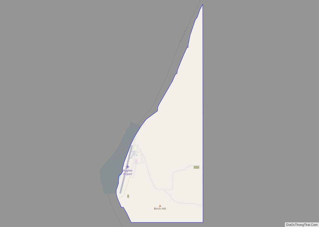
Hughes (Hut’odlee Kkaakk’et in Koyukon) is a city in Yukon-Koyukuk Census Area, Alaska, United States. The population was 85 at the 2020 census, up from 77 in 2010. Hughes city overview: Name: Hughes city LSAD Code: 25 LSAD Description: city (suffix) State: Alaska County: Yukon-Koyukuk Census Area Incorporated: October 30, 1973 Elevation: 377 ft (115 m) Total ... Read more
