Hooper Bay (Central Yupik: Naparyaarmiut) is a city in Kusilvak Census Area, Alaska, United States. At the 2020 census the population was 1,375, up from 1,093 in 2010.
On August 3, 2006, a major fire destroyed approximately fifteen acres of the city including thirty-five structures, twelve homes, the elementary school, middle school, high school, teacher housing complex, stores, offices and storage shelters, leaving 70 people homeless.
| Name: | Hooper Bay city |
|---|---|
| LSAD Code: | 25 |
| LSAD Description: | city (suffix) |
| State: | Alaska |
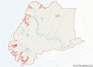
| County: | Kusilvak Census Area |
| Incorporated: | February 7, 1966 |
| Elevation: | 26 ft (8 m) |
| Total Area: | 7.53 sq mi (19.50 km²) |
| Land Area: | 7.50 sq mi (19.42 km²) |
| Water Area: | 0.03 sq mi (0.08 km²) |
| Total Population: | 1,375 |
| Population Density: | 183.41/sq mi (70.81/km²) |
| ZIP code: | 99604 |
| Area code: | 907 |
| FIPS code: | 0233470 |
| GNISfeature ID: | 1403493 |
Online Interactive Map
Click on ![]() to view map in "full screen" mode.
to view map in "full screen" mode.
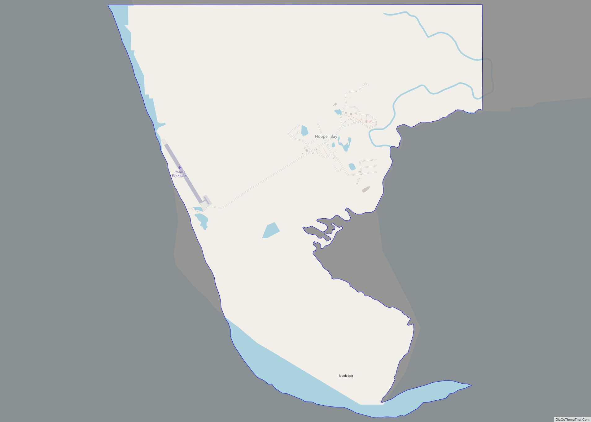
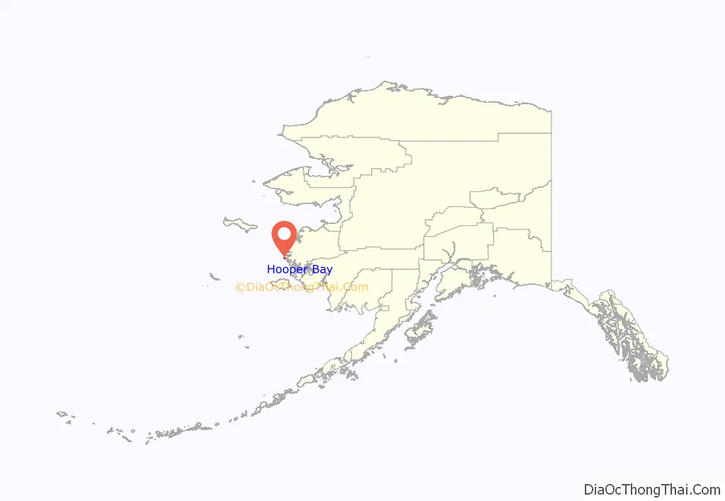
Hooper Bay location map. Where is Hooper Bay city?
Hooper Bay Road Map
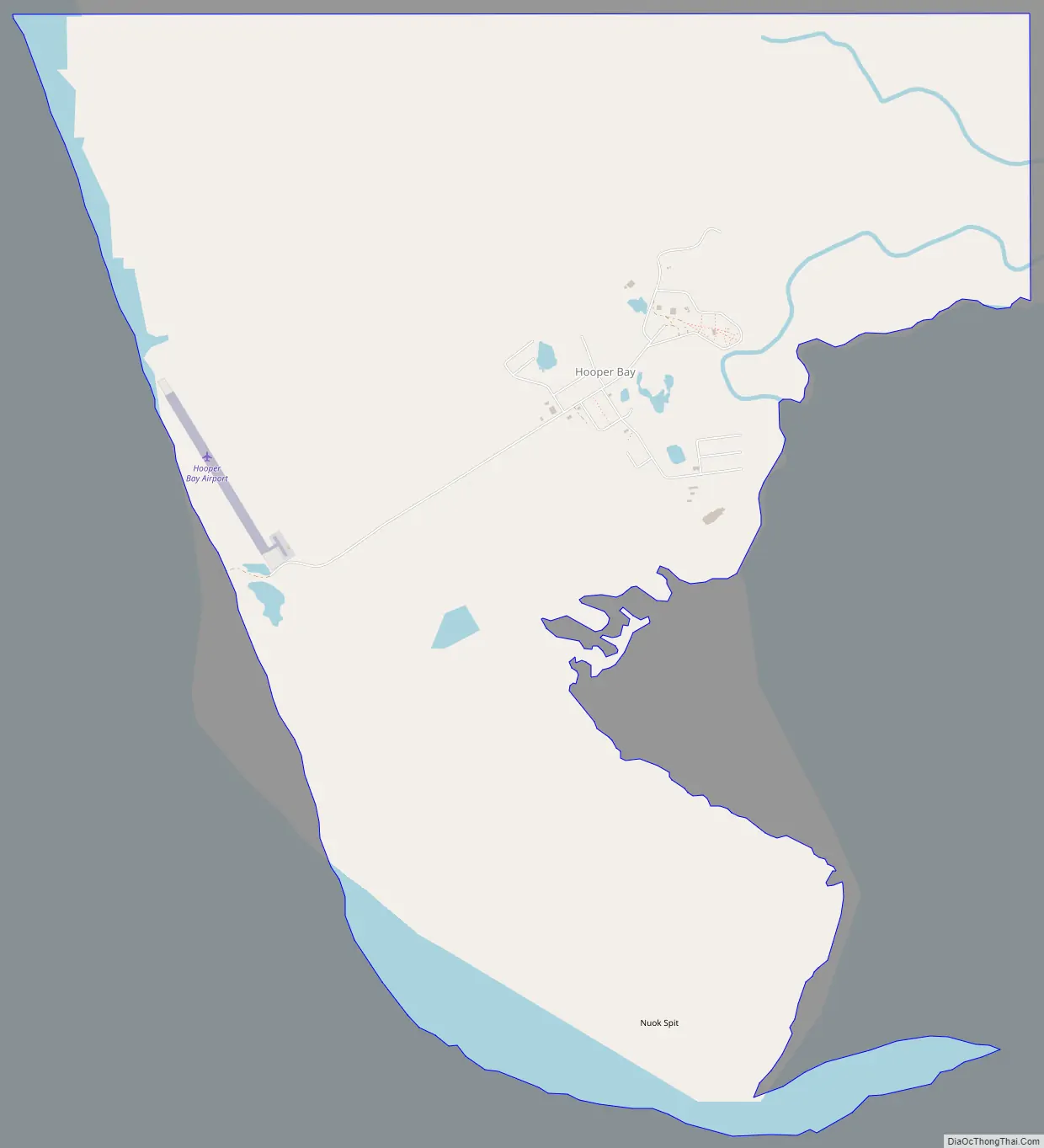
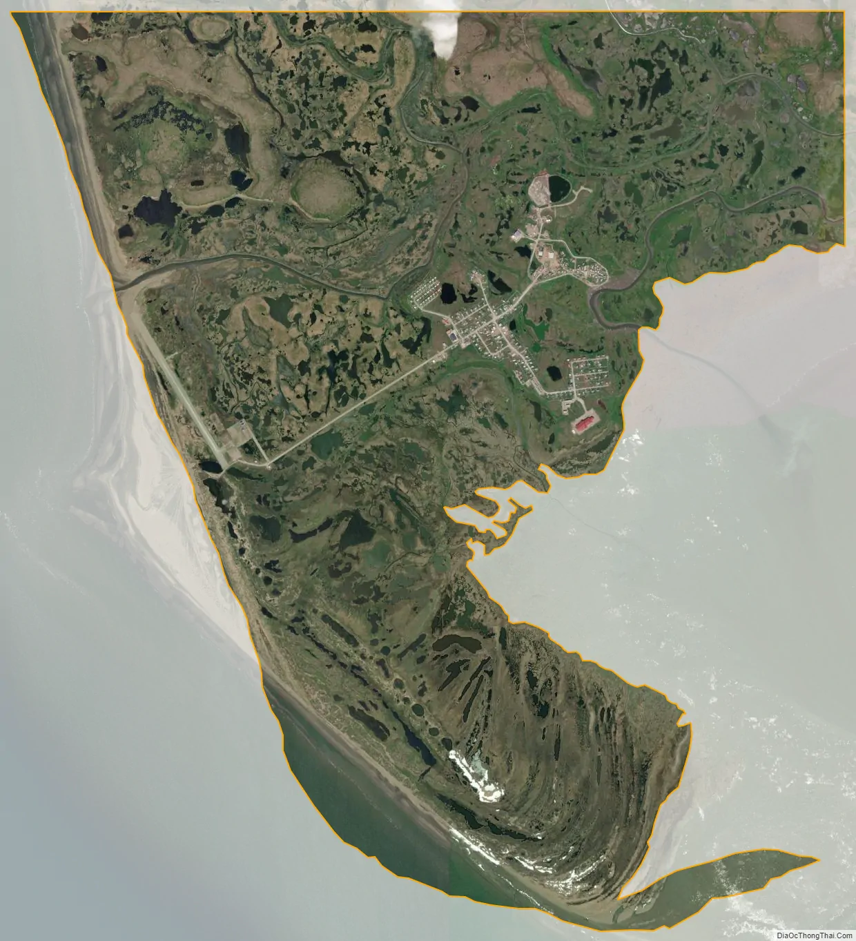
Hooper Bay city Satellite Map
Geography
Hooper Bay is located at 61°31′44″N 166°5′46″W / 61.52889°N 166.09611°W / 61.52889; -166.09611 (61.528980, -166.096196), 20 miles (32 km) south of Cape Romanzof and 25 miles (40 km) south of Scammon Bay in the Yukon-Kuskokwim Delta. The city is separated into two sections: a heavily built-up townsite located on gently rolling hills, and a newer section in the lowlands.
According to the United States Census Bureau, the city has a total area of 8.8 square miles (23 km), of which 8.7 square miles (23 km) is land and 0.1 square miles (0.26 km) (0.91%) is water.
Climate
Hooper Bay is located within the polar climate zone (Köppen ET), because the hottest month is only 49.1 °F (9.5 °C). It is atypical of polar climates in having winters sufficiently moderated by the sea that permafrost is merely sporadic, and in seeing heavy late summer rainfall more typical of subpolar oceanic climates. The substantial maritime moderation, however, means snowfall is heavy, exceeding or approaching 4 inches or 0.10 metres for eight months of the year
See also
Map of Alaska State and its subdivision:- Aleutians East
- Aleutians West
- Anchorage
- Bethel
- Bristol Bay
- Denali
- Dillingham
- Fairbanks North Star
- Haines
- Juneau
- Kenai Peninsula
- Ketchikan Gateway
- Kodiak Island
- Lake and Peninsula
- Matanuska-Susitna
- Nome
- North Slope
- Northwest Arctic
- Prince of Wales-Outer Ketchi
- Sitka
- Skagway-Yakutat-Angoon
- Southeast Fairbanks
- Valdez-Cordova
- Wade Hampton
- Wrangell-Petersburg
- Yukon-Koyukuk
- Alabama
- Alaska
- Arizona
- Arkansas
- California
- Colorado
- Connecticut
- Delaware
- District of Columbia
- Florida
- Georgia
- Hawaii
- Idaho
- Illinois
- Indiana
- Iowa
- Kansas
- Kentucky
- Louisiana
- Maine
- Maryland
- Massachusetts
- Michigan
- Minnesota
- Mississippi
- Missouri
- Montana
- Nebraska
- Nevada
- New Hampshire
- New Jersey
- New Mexico
- New York
- North Carolina
- North Dakota
- Ohio
- Oklahoma
- Oregon
- Pennsylvania
- Rhode Island
- South Carolina
- South Dakota
- Tennessee
- Texas
- Utah
- Vermont
- Virginia
- Washington
- West Virginia
- Wisconsin
- Wyoming