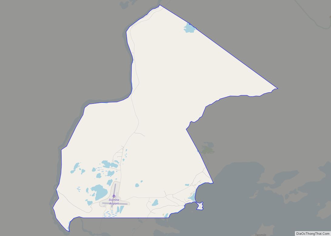
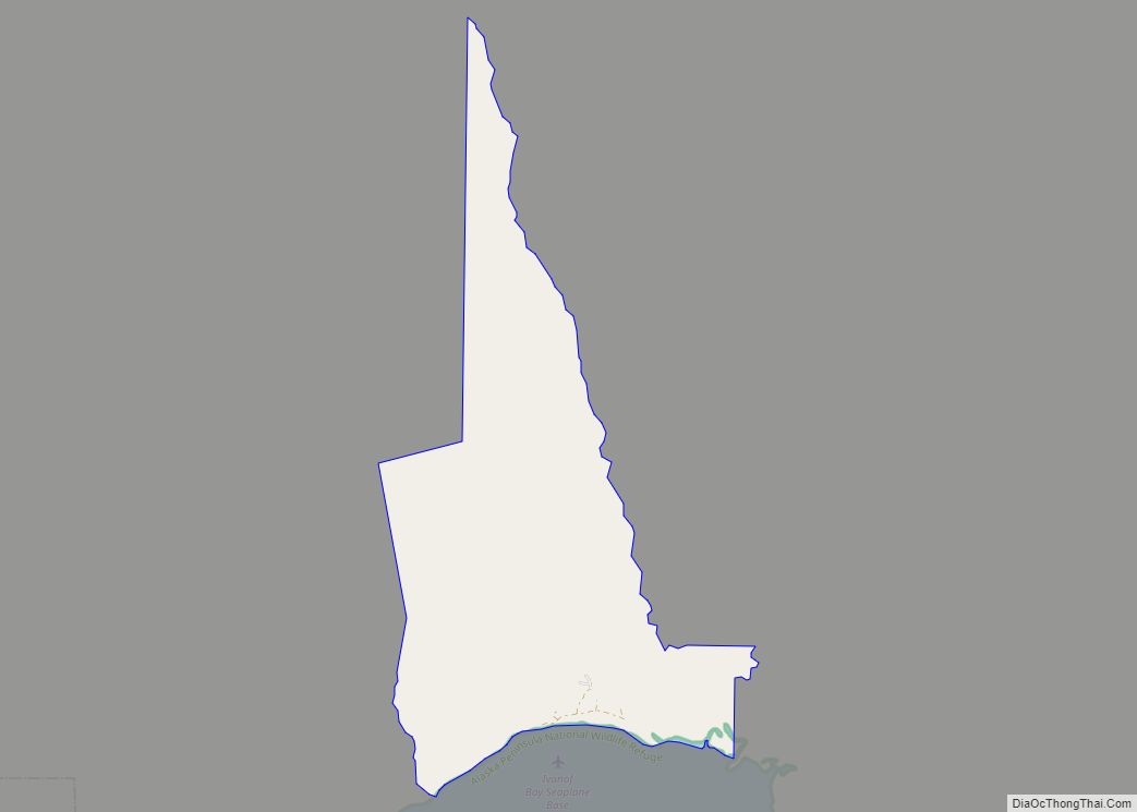
Map of Igiugig CDP

Map of Igiugig CDP

Igiugig (Central Yupik: Igyaraq) is a census-designated place (CDP) in Lake and Peninsula Borough, Alaska, United States. The population was 68 at the 2020 census, up from 54 in 2010. The village is at the source of the Kvichak River, at the outlet of Lake Iliamna. Igiugig CDP overview: Name: Igiugig CDP LSAD Code: 57 … Read more

Map of Hyder CDP

Map of Hyder CDP

Hyder is a census-designated place in Prince of Wales-Hyder Census Area, Alaska, United States. The population was 87 at the 2010 census, down from 97 in 2000. Hyder is accessible by road only from Stewart, British Columbia, is popular with motorists wishing to visit Alaska without driving the length of the Alaska Highway, and is … Read more

Map of Kake city

Map of Kake city

Kake (/ˈkeɪk/, like ‘cake’) is a first-class city in Prince of Wales-Hyder Census Area, Alaska, United States. The population was 557 at the 2010 census. The name comes from the Tlingit word Ḵéix̱ʼ (Northern Tlingit) or Ḵéex̱ʼ (Southern Tlingit), which is derived from ḵée ‘dawn, daylight’ and x̱ʼé ‘mouth’, i.e. ‘mouth of dawn’ or ‘opening … Read more

Map of Kachemak city

Map of Kachemak city

Kachemak, locally known as Kachemak City, is a small second-class city in the southern portion of the Kenai Peninsula Borough, Alaska, United States. The city consists of several subdivisions and other miscellaneous properties along an approximately 2-mile (3.2 km) stretch of East End Road, adjoining the northeast corner of the much larger (both in terms of … Read more

Map of Ivanof Bay CDP

Map of Ivanof Bay CDP

Ivanof Bay (Sugpiaq: Kangi’asinaq) is a census-designated place (CDP) in Lake and Peninsula Borough, Alaska, United States. The population was just one at the 2020 census, down from seven in 2010. Ivanof Bay CDP overview: Name: Ivanof Bay CDP LSAD Code: 57 LSAD Description: CDP (suffix) State: Alaska County: Lake and Peninsula Borough Elevation: 20 ft … Read more

Map of Kaltag city

Map of Kaltag city

Kaltag (KAL-tag) (Koyukon: Ggaał Doh [qæːɬ toh]; Inupiaq: Qałtaq) is a city and village in Yukon-Koyukuk Census Area, Alaska, United States. At the 2010 census the population was 190, down from 230 in 2000. Kaltag city overview: Name: Kaltag city LSAD Code: 25 LSAD Description: city (suffix) State: Alaska County: Yukon-Koyukuk Census Area Incorporated: June … Read more

Map of Kalifornsky CDP

Map of Kalifornsky CDP

Kalifornsky (Tanaina: Unhghenesditnu) is a census-designated place (CDP) in Kenai Peninsula Borough, Alaska, United States. The population was 8,487 at the 2020 census, up from 7,850 in 2010. It is the most populated locality in the borough. Kalifornsky CDP overview: Name: Kalifornsky CDP LSAD Code: 57 LSAD Description: CDP (suffix) State: Alaska County: Kenai Peninsula … Read more

Map of Kaktovik city

Map of Kaktovik city

Kaktovik (/kækˈtoʊvɪk/; Inupiaq: Qaaktuġvik, IPA: [qaːktoʁvik]) is a city in North Slope Borough, Alaska, United States. The population was 283 at the 2020 census. Kaktovik city overview: Name: Kaktovik city LSAD Code: 25 LSAD Description: city (suffix) State: Alaska County: North Slope Borough Incorporated: March 26, 1971 Elevation: 36 ft (11 m) Total Area: 1.05 sq mi (2.71 km²) Land Area: … Read more

Map of Kasigluk CDP

Map of Kasigluk CDP

Kasigluk /kəˈsɪɡlʊk/ (Central Yupik: Kassigluq) is a census-designated place (CDP) in the Bethel Census Area in the U.S. state of Alaska. At the 2010 census the population was 569, up from 543 in 2000. Kasigluk consists of two smaller villages, called Akiuk and Akula. Kasigluk CDP overview: Name: Kasigluk CDP LSAD Code: 57 LSAD Description: … Read more

Map of Kasaan city

Map of Kasaan city

Kasaan /kəˈsæn/ (Haida: Gasa’áan; Tlingit: Kasa’aan) is a city in the Prince of Wales-Hyder Census Area in the U.S. state of Alaska. The population was 49 at the 2010 census, up from 39 in 2000. The name “Kasaan” comes from Tlingit Kasa’aan, meaning “pretty town”. Kasaan city overview: Name: Kasaan city LSAD Code: 25 LSAD … Read more

Map of Karluk CDP

Map of Karluk CDP

Karluk (Kal’uq or Kal’ut in Alutiiq; Russian: Карлук) is a census-designated place (CDP) in Kodiak Borough, Kodiak Island, Alaska, United States. The population was 37 at the 2010 census, up from 27 in 2000. Karluk CDP overview: Name: Karluk CDP LSAD Code: 57 LSAD Description: CDP (suffix) State: Alaska County: Kodiak Island Borough Total Area: … Read more

Map of Kenny Lake CDP

Map of Kenny Lake CDP

Kenny Lake is a farming community – one of the last to be homesteaded in America. Kenny Lake is a census-designated place (CDP) in the Copper River Census Area, Alaska, United States. At the 2020 census the population was 234, down from 355 in 2010. Kenny Lake CDP overview: Name: Kenny Lake CDP LSAD Code: … Read more