Kake (/ˈkeɪk/, like ‘cake’) is a first-class city in Prince of Wales-Hyder Census Area, Alaska, United States. The population was 557 at the 2010 census. The name comes from the Tlingit word Ḵéix̱ʼ (Northern Tlingit) or Ḵéex̱ʼ (Southern Tlingit), which is derived from ḵée ‘dawn, daylight’ and x̱ʼé ‘mouth’, i.e. ‘mouth of dawn’ or ‘opening of daylight’.
| Name: | Kake city |
|---|---|
| LSAD Code: | 25 |
| LSAD Description: | city (suffix) |
| State: | Alaska |
| County: | Prince of Wales-Hyder Census Area |
| Incorporated: | November 3, 1951 |
| Elevation: | 56 ft (17 m) |
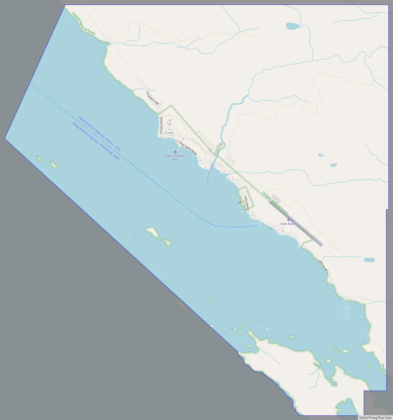
| Total Area: | 13.51 sq mi (34.98 km²) |
| Land Area: | 7.67 sq mi (19.87 km²) |
| Water Area: | 5.83 sq mi (15.11 km²) |
| Total Population: | 543 |
| Population Density: | 70.77/sq mi (27.32/km²) |
| ZIP code: | 99830 |
| Area code: | 907 |
| FIPS code: | 0236770 |
| GNISfeature ID: | 1422926 |
Online Interactive Map
Click on ![]() to view map in "full screen" mode.
to view map in "full screen" mode.
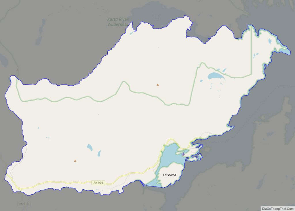
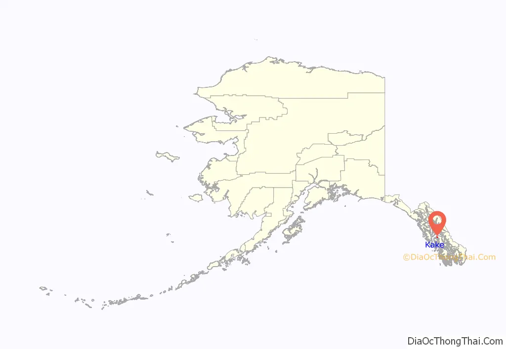
Kake location map. Where is Kake city?
History
Prior to Alaska Purchase
The region of Kake has been inhabited by the Tlingit indigenous people for thousands of years.
The Tlingit of the Kake region gained a reputation among early European and American explorers of being strong and powerful. Some conflicts with early explorers have been documented by historians. Some scholars believe the first explorer to enter Tlingit lands was the Briton Francis Drake, who traveled to the area near present-day Kake in 1579, although other scholars dispute this theory.
In the early 19th century Kake was visited by American maritime fur traders seeking sea otter skins, such as the ship Atahualpa in 1805 and Otter in 1811. Kake was also visited by the Russian Golovin Expedition in 1818. Mikhail Tikhanov, an artist with the expedition, painted a watercolor of the Tlingit chief Kotlean.
After Alaska Purchase
In the February 1869 Kake War the USS Saginaw destroyed three deserted villages and two forts near present-day Kake. Prior to the conflict, two white trappers were killed by the Kake in retribution for the death of two Kake departing Sitka. Sitka was the site of a standoff between the Army and some Tlingits who refused to surrender Chief Colchika, who was involved in an altercation in Fort Sitka. While no Kake died in the destruction of the villages, except perhaps for a single old woman, some died over the winter due to the loss of winter stores, canoes, and shelter led to the death. The villages were not rebuilt, and their inhabitants dispersed to other villages or remained in the vicinity, eventually rebuilding the present day Kake.
Kake is the site of a 128-foot totem pole, one of the world’s largest, carved in 1967 for the Alaska Purchase centennial.
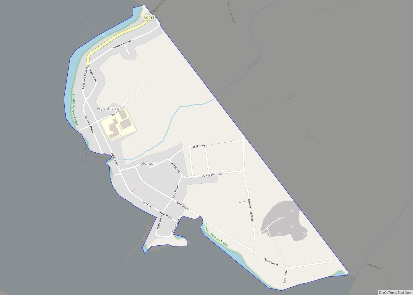
Kake Road Map
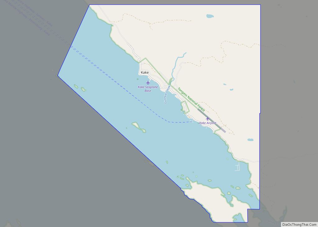
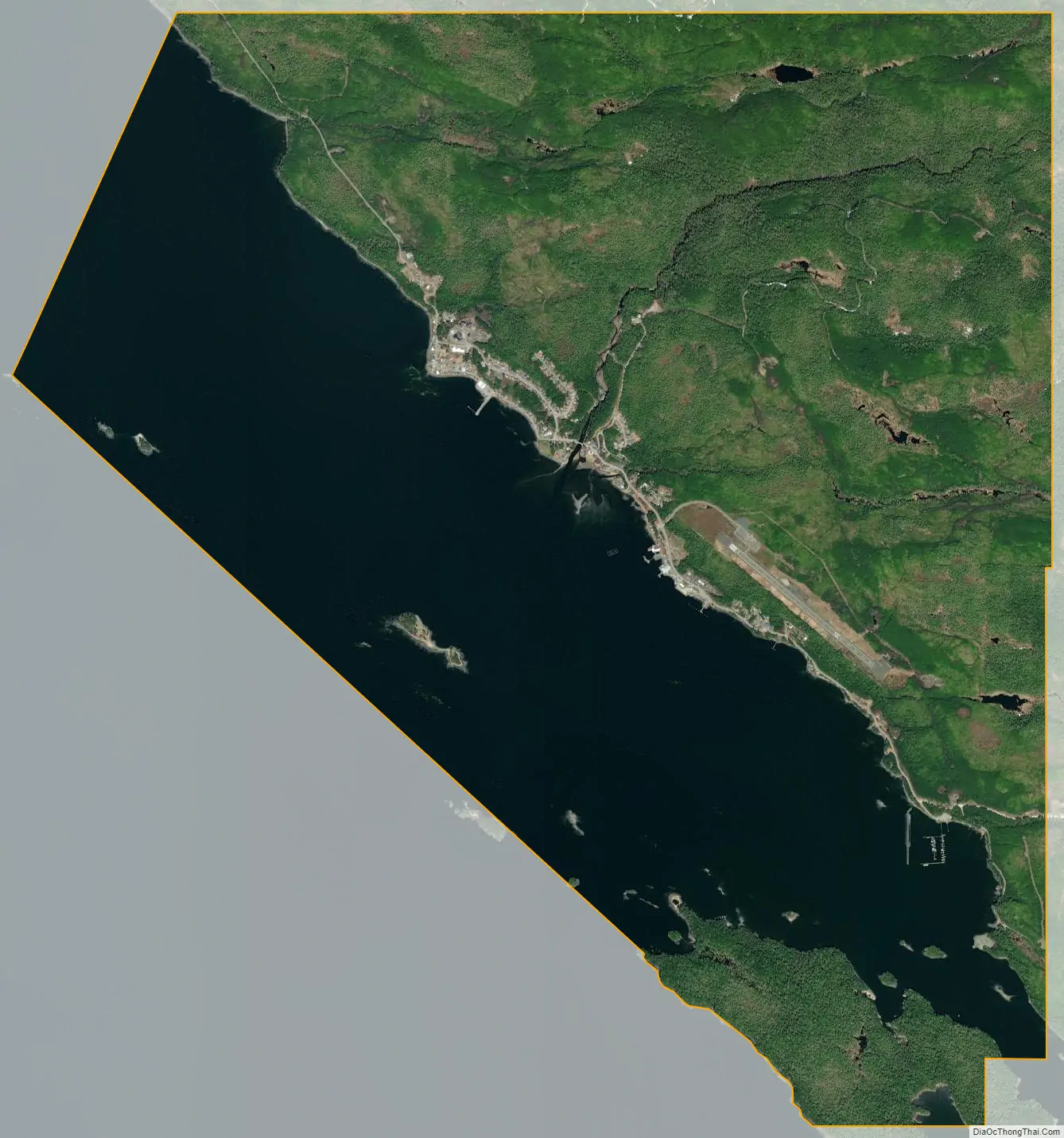
Kake city Satellite Map
Geography
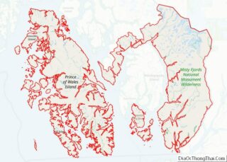
Kake is located at 56°58′15″N 133°56′2″W / 56.97083°N 133.93389°W / 56.97083; -133.93389 (56.970841, -133.933751). Kake is on the northwest coast of Kupreanof Island in the Alexander Archipelago in southeastern Alaska.
According to the United States Census Bureau, the city has a total area of 14.2 square miles (37 km), of which, 8.2 square miles (21 km) of it is land and 6.0 square miles (16 km) of it (42.37%) is water.
See also
Map of Alaska State and its subdivision:- Aleutians East
- Aleutians West
- Anchorage
- Bethel
- Bristol Bay
- Denali
- Dillingham
- Fairbanks North Star
- Haines
- Juneau
- Kenai Peninsula
- Ketchikan Gateway
- Kodiak Island
- Lake and Peninsula
- Matanuska-Susitna
- Nome
- North Slope
- Northwest Arctic
- Prince of Wales-Outer Ketchi
- Sitka
- Skagway-Yakutat-Angoon
- Southeast Fairbanks
- Valdez-Cordova
- Wade Hampton
- Wrangell-Petersburg
- Yukon-Koyukuk
- Alabama
- Alaska
- Arizona
- Arkansas
- California
- Colorado
- Connecticut
- Delaware
- District of Columbia
- Florida
- Georgia
- Hawaii
- Idaho
- Illinois
- Indiana
- Iowa
- Kansas
- Kentucky
- Louisiana
- Maine
- Maryland
- Massachusetts
- Michigan
- Minnesota
- Mississippi
- Missouri
- Montana
- Nebraska
- Nevada
- New Hampshire
- New Jersey
- New Mexico
- New York
- North Carolina
- North Dakota
- Ohio
- Oklahoma
- Oregon
- Pennsylvania
- Rhode Island
- South Carolina
- South Dakota
- Tennessee
- Texas
- Utah
- Vermont
- Virginia
- Washington
- West Virginia
- Wisconsin
- Wyoming