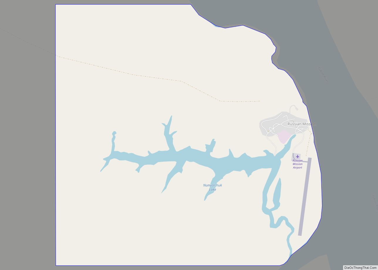
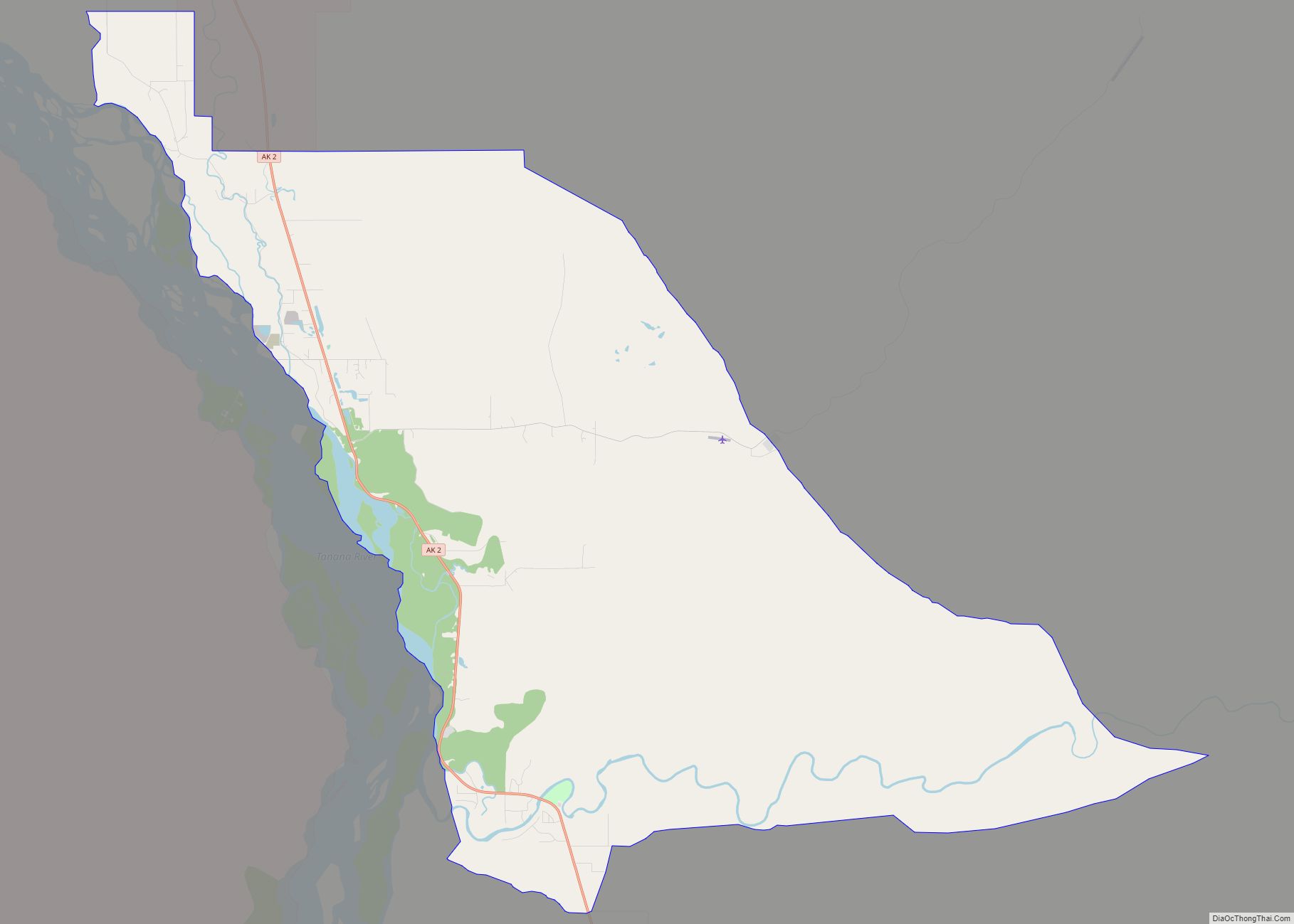
Map of Ruby city

Map of Ruby city, Alaska

Ruby (Koyukon: Tl’aa’ologhe) is an incorporated town in central western Alaska, situated on the south bank of the Yukon River at the northwesternmost tip of the Nowitna National Wildlife Refuge. It is accessible only by boat or air. A formerly sizeable gold-mining and lumbering town servicing the region, at the 2010 census the population was … Read more

Map of Ridgeway CDP

Map of Ridgeway CDP, Alaska

Ridgeway is a census-designated place (CDP) in Kenai Peninsula Borough, Alaska, United States. At the 2020 census the population was 2,136, up from 2,022 in 2010. Ridgeway CDP overview: Name: Ridgeway CDP LSAD Code: 57 LSAD Description: CDP (suffix) State: Alaska County: Kenai Peninsula Borough Elevation: 187 ft (57 m) Total Area: 17.68 sq mi (45.80 km²) Land Area: 16.79 sq mi … Read more

Map of Salcha CDP

Map of Salcha CDP

Salcha (Tanana: Soł Chaget, Tanacross: Saagescheeg) is a census-designated place (CDP) in Fairbanks North Star Borough in the U.S. state of Alaska. It is part of the Fairbanks, Alaska Metropolitan Statistical Area. The population was 1,095 at the 2010 census, up from 854 in 2000. Salcha CDP overview: Name: Salcha CDP LSAD Code: 57 LSAD … Read more

Map of Salamatof CDP

Map of Salamatof CDP

Salamatof (Dena’ina: Ken Dech’etl’t) is a census-designated place (CDP) in Kenai Peninsula Borough, Alaska, United States. The population was 1,078 at the 2020 census, up from 980 in 2010. Salamatof is the location for the former Wildwood Air Force Station, which operated from 1965 to 1972 (from 1951 to 1965, it was an Army Station). Today, … Read more

Map of Sand Point city

Map of Sand Point city

Sand Point, also known as Popof Island, is a city in Aleutians East Borough, Alaska, United States. At the 2010 census the population was 976, up from 952 in 2000, but by the 2020 Census this had reduced to 578. It is on northwestern Popof Island, one of the Shumagin Islands, off the Alaska Peninsula. … Read more

Map of Scammon Bay city

Map of Scammon Bay city

Scammon Bay (Central Yupik: Marayaarmiut) is a city in Kusilvak Census Area, Alaska, United States. At the 2010 census the population was 474, up from 465 in 2000. Scammon Bay city overview: Name: Scammon Bay city LSAD Code: 25 LSAD Description: city (suffix) State: Alaska County: Kusilvak Census Area Incorporated: May 22, 1967 Elevation: 16 ft … Read more

Map of Saxman city

Map of Saxman city

Saxman (Lingít: T’èesh Ḵwáan Xagu) is a town on Revillagigedo Island in Ketchikan Gateway Borough in southeastern Alaska, United States. At the 2010 census the population was 411, down from 431 in 2000. The city of Ketchikan lies just to its northwest. Saxman city overview: Name: Saxman city LSAD Code: 25 LSAD Description: city (suffix) … Read more

Map of Savoonga city

Map of Savoonga city

Savoonga is a city in Nome Census Area, Alaska. It is located on St. Lawrence Island in the Bering Sea. As of the 2020 census, Savoonga’s population was 835, up from 671 in 2010. Savoonga was incorporated in 1969. In 1971, it became joint owner of St. Lawrence Island along with the island’s only other … Read more

Map of Seldovia city

Map of Seldovia city

Seldovia (Alutiiq: Angagkitaqnuuq; Dena’ina: Angidahtnu; Russian: Селдовия) is a city in Kenai Peninsula Borough, Alaska, United States. Its population was 255 at the 2010 census, down from 286 in 2000. It is located along Kachemak Bay southwest of Homer. There is no road system connecting the town to other communities, so all travel to Seldovia is … Read more

Map of Seldovia Village CDP

Map of Seldovia Village CDP

Seldovia Village is a census-designated place (CDP) in Kenai Peninsula Borough, Alaska, United States. At the 2010 census the population was 165, up from 144 in 2000. Seldovia Village is not to be confused with the adjacent city of Seldovia. Seldovia Village CDP overview: Name: Seldovia Village CDP LSAD Code: 57 LSAD Description: CDP (suffix) … Read more

Map of Selawik city

Map of Selawik city

Selawik (/ˈsɛləwɪk/) (Iñupiaq: Siiḷ(i)vik or Akuliġaq) is a city in Northwest Arctic Borough, Alaska, United States. At the 2010 census the population was 829, up from 772 in 2000. Selawik comes from siiḷivik, which means “place of sheefish” in Inupiaq. Selawik city overview: Name: Selawik city LSAD Code: 25 LSAD Description: city (suffix) State: Alaska … Read more

Map of Shaktoolik city

Map of Shaktoolik city

Shaktoolik (Inupiaq: Saktuliq, IPA: [sɑqtuleq]; Central Yupik: Cagtuleq) is a city in Nome Census Area, Alaska, United States. At the 2010 census the population was 251, up from 230 in 2000. Shaktoolik is one of a number of Alaskan communities threatened by erosion and related global warming effects. The community has been relocated twice. Shaktoolik city … Read more