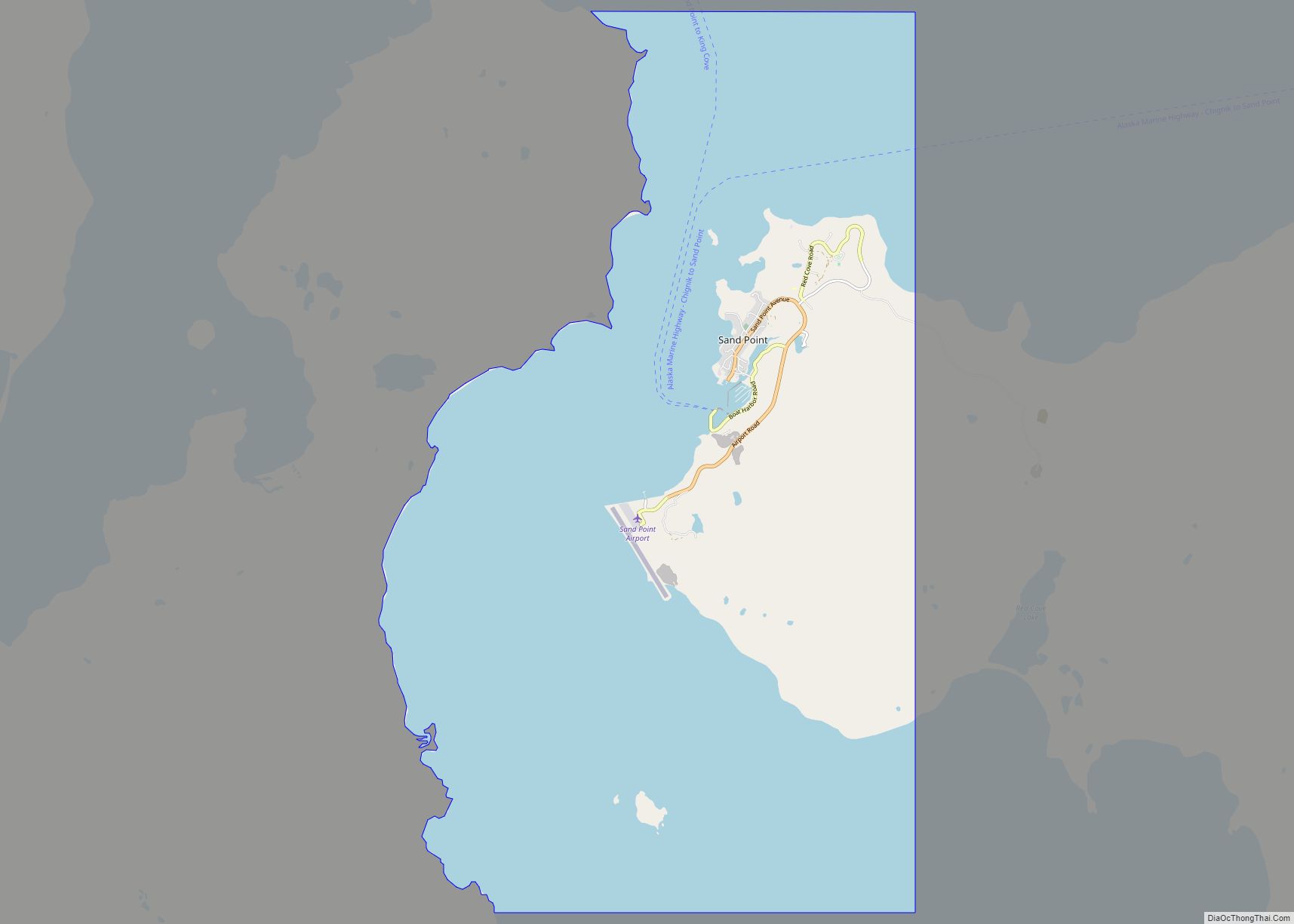
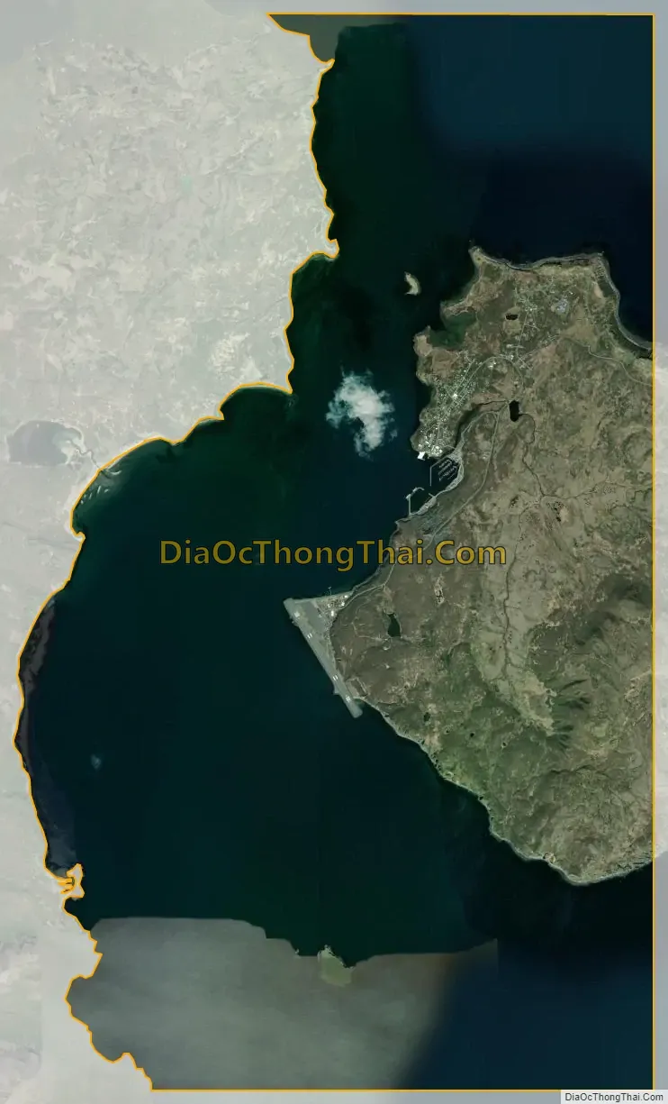
Sand Point, also known as Popof Island, is a city in Aleutians East Borough, Alaska, United States. At the 2010 census the population was 976, up from 952 in 2000, but by the 2020 Census this had reduced to 578. It is on northwestern Popof Island, one of the Shumagin Islands, off the Alaska Peninsula. It is the borough seat of Aleutians East Borough, and is near the entrance to the Bering Sea.
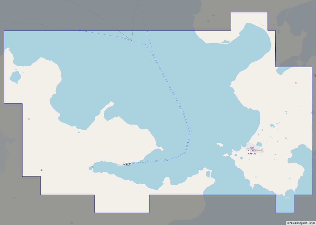
The Aleutians East Borough School District is in Southwestern Alaska along the Alaska Peninsula and Aleutian Chain The District was formed in 1988 from smaller districts that consolidated and formed a Borough with taxing authority. The Borough and District boundaries are the same, and stretch over approximately 15,000 square miles (39,000 km) of roadless, mostly treeless tundra, from the middle of the Alaska Peninsula to the north and east, going southwest out to Akutan just east of Dutch Harbor.
| Name: | Sand Point city |
|---|---|
| LSAD Code: | 25 |
| LSAD Description: | city (suffix) |
| State: | Alaska |
| County: | Aleutians East Borough |
| Incorporated: | September 1, 1966 |
| Elevation: | 39 ft (12 m) |
| Total Area: | 30.29 sq mi (78.46 km²) |
| Land Area: | 8.01 sq mi (20.75 km²) |
| Water Area: | 22.28 sq mi (57.71 km²) |
| Total Population: | 578 |
| Population Density: | 72.16/sq mi (27.86/km²) |
| ZIP code: | 99661 |
| Area code: | 907 |
| FIPS code: | 0267020 |
| GNISfeature ID: | 1419182 |
| Website: | sandpointak.com |
Online Interactive Map
Click on ![]() to view map in "full screen" mode.
to view map in "full screen" mode.
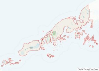
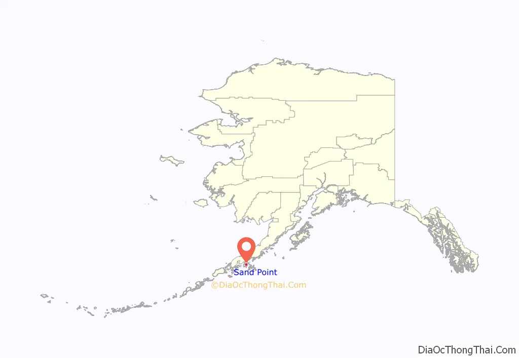
Sand Point location map. Where is Sand Point city?
History
Sand Point was founded by a San Francisco fishing company in 1898 as a cod fishing station and trading post. Aleuts and Scandinavians were among the early residents. Gold mining was briefly a part of the economy during the early 1900s. Fishing remains an important industry, as Sand Point is home to one of the largest fishing fleets in the Aleutian Chain.
Sand Point Road Map

Sand Point city Satellite Map
Geography
According to the U.S. Census Bureau, the city has a total area of 28.9 square miles (75 km), of which, 7.8 square miles (20 km) of it is land and 21.1 square miles (55 km) of it (73.05%) is water.
See also
Map of Alaska State and its subdivision:- Aleutians East
- Aleutians West
- Anchorage
- Bethel
- Bristol Bay
- Denali
- Dillingham
- Fairbanks North Star
- Haines
- Juneau
- Kenai Peninsula
- Ketchikan Gateway
- Kodiak Island
- Lake and Peninsula
- Matanuska-Susitna
- Nome
- North Slope
- Northwest Arctic
- Prince of Wales-Outer Ketchi
- Sitka
- Skagway-Yakutat-Angoon
- Southeast Fairbanks
- Valdez-Cordova
- Wade Hampton
- Wrangell-Petersburg
- Yukon-Koyukuk
- Alabama
- Alaska
- Arizona
- Arkansas
- California
- Colorado
- Connecticut
- Delaware
- District of Columbia
- Florida
- Georgia
- Hawaii
- Idaho
- Illinois
- Indiana
- Iowa
- Kansas
- Kentucky
- Louisiana
- Maine
- Maryland
- Massachusetts
- Michigan
- Minnesota
- Mississippi
- Missouri
- Montana
- Nebraska
- Nevada
- New Hampshire
- New Jersey
- New Mexico
- New York
- North Carolina
- North Dakota
- Ohio
- Oklahoma
- Oregon
- Pennsylvania
- Rhode Island
- South Carolina
- South Dakota
- Tennessee
- Texas
- Utah
- Vermont
- Virginia
- Washington
- West Virginia
- Wisconsin
- Wyoming