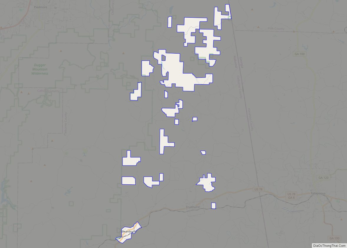
Map of Edgewater CDP

Map of Edgewater CDP, Alabama

Edgewater is a census-designated place in Jefferson County, Alabama, United States. It is northeast from the Birmingham suburb of Pleasant Grove. Its population was 883 at the 2010 census. This area was damaged by tornadoes on April 15, 1956 and April 8, 1998. The 1998 tornado was rated F5 on the Fujita scale. Edgewater CDP … Read more

Map of Eclectic town

Map of Eclectic town

Eclectic is a town in Elmore County, Alabama, United States. It incorporated in 1907. At the 2020 census, the population was 1,193. It is part of the Montgomery Metropolitan Statistical Area. Eclectic town overview: Name: Eclectic town LSAD Code: 43 LSAD Description: town (suffix) State: Alabama County: Elmore County Elevation: 581 ft (177 m) Total Area: 4.19 sq mi … Read more

Map of Elberta town

Map of Elberta town, Alabama

Elberta is a town in Baldwin County, Alabama, United States. At the 2010 census the population was 1,498, up from 552 at the 2000 census. It is part of the Daphne-Fairhope-Foley metropolitan area. Elberta town overview: Name: Elberta town LSAD Code: 43 LSAD Description: town (suffix) State: Alabama County: Baldwin County Elevation: 66 ft (20 m) Total … Read more

Map of Elba city

Map of Elba city, Alabama

Elba is a city in and the county seat of Coffee County, Alabama, United States. It is the official seat, although there are two county courthouses, with the other one being located in the town of Enterprise. At the time of the 2010 U.S. census, Elba’s population was 3,940. Elba is part of the Enterprise … Read more

Map of Egypt CDP

Map of Egypt CDP, Alabama

Egypt is a census-designated place and unincorporated community in Etowah County, Alabama, United States. Its population was 932 as of the 2010 census. Egypt CDP overview: Name: Egypt CDP LSAD Code: 57 LSAD Description: CDP (suffix) State: Alabama County: Etowah County Elevation: 1,076 ft (328 m) Total Area: 9.01 sq mi (23.34 km²) Land Area: 9.01 sq mi (23.34 km²) Water Area: 0.00 sq mi … Read more

Map of Elmore town

Map of Elmore town, Alabama

Elmore is a town in Elmore County, Alabama, United States. Although initially incorporated in 1906, it lapsed and was not reincorporated again until 1997. At the 2010 census the population was 1,262, up from 199 in 2000. It is part of the Montgomery Metropolitan Statistical Area. Elmore town overview: Name: Elmore town LSAD Code: 43 … Read more

Map of Elkmont town

Map of Elkmont town

Elkmont is a town in Limestone County, Alabama, United States, and is included in the Huntsville-Decatur Combined Statistical Area. As of the 2010 census, the population of the town was 434, down from its record high of 470 in 2000. Elkmont town overview: Name: Elkmont town LSAD Code: 43 LSAD Description: town (suffix) State: Alabama … Read more

Map of Eldridge town

Map of Eldridge town, Alabama

Eldridge is a town in Walker County, Alabama, United States. It incorporated in 1972. At the 2010 census the population was 130, down from 184 in 2000. Eldridge town overview: Name: Eldridge town LSAD Code: 43 LSAD Description: town (suffix) State: Alabama County: Walker County Elevation: 554 ft (169 m) Total Area: 0.70 sq mi (1.81 km²) Land Area: 0.70 sq mi … Read more

Map of Enterprise city

Map of Enterprise city, Alabama

Enterprise is a city in the southeastern part of Coffee County and the southwestern part of Dale County in Southeastern Alabama, United States. Its population was 28,711 at the 2020 census. Enterprise is the primary city of the Enterprise micropolitan statistical area (with the portion of the city in Dale County part of the Ozark … Read more

Map of Emerald Mountain CDP

Map of Emerald Mountain CDP

Emerald Mountain is a census-designated place in Elmore County, Alabama, United States. Its population was 2,561 as of the 2010 census. It is a planned community with an Architectural Review Board and a Homeowners Association of which membership is mandatory. Community facilities include a tennis center, equestrian center and golf club. Emerald Mountain CDP overview: … Read more

Map of Emelle town

Map of Emelle town

Emelle is a town in Sumter County, Alabama, United States. It was named after the daughters of the man who donated the land for the town. The town was started in the 19th century but not incorporated until 1981. The daughters of the man who donated were named Emma Dial and Ella Dial, so he … Read more

Map of Eufaula city

Map of Eufaula city, Alabama

Eufaula /juːˈfɔːlə/ is the largest city in Barbour County, Alabama, United States. As of the 2010 census the city’s population was 13,137. Eufaula city overview: Name: Eufaula city LSAD Code: 25 LSAD Description: city (suffix) State: Alabama County: Barbour County Elevation: 262 ft (80 m) Total Area: 73.47 sq mi (190.30 km²) Land Area: 59.52 sq mi (154.14 km²) Water Area: 13.96 sq mi (36.16 km²) … Read more