Enterprise is a city in the southeastern part of Coffee County and the southwestern part of Dale County in Southeastern Alabama, United States. Its population was 28,711 at the 2020 census. Enterprise is the primary city of the Enterprise micropolitan statistical area (with the portion of the city in Dale County part of the Ozark micropolitan statistical area). It was originally a part of Enterprise–Ozark micropolitan area before being split; for a longer while it was originally part of the Dothan-Enterprise-Ozark combined statistical area but is now its own separate primary statistical area in later censuses.
Enterprise is famous for the Boll Weevil Monument, a large monument of a woman holding a boll weevil, in the middle of Main Street. The city erected the statue because the destruction of the cotton crop by the boll weevil had led to agricultural diversity, starting with peanuts and more prosperity than had ever come from cotton alone. It is the only statue to an insect pest in the world. Enterprise is right outside the U.S. Army’s Fort Novosel, the home of Army Aviation.
Enterprise is home to Enterprise State Community College.
| Name: | Enterprise city |
|---|---|
| LSAD Code: | 25 |
| LSAD Description: | city (suffix) |
| State: | Alabama |
| County: | Coffee County, Dale County |
| Founded: | 1896 |
| Elevation: | 358 ft (109 m) |
| Total Area: | 31.02 sq mi (80.35 km²) |
| Land Area: | 30.96 sq mi (80.18 km²) |
| Water Area: | 0.07 sq mi (0.17 km²) |
| Total Population: | 28,711 |
| Population Density: | 927.42/sq mi (358.08/km²) |
| ZIP code: | 36330-36331 |
| Area code: | 334 |
| FIPS code: | 0124184 |
| GNISfeature ID: | 0118005 |
| Website: | www.enterpriseal.gov |
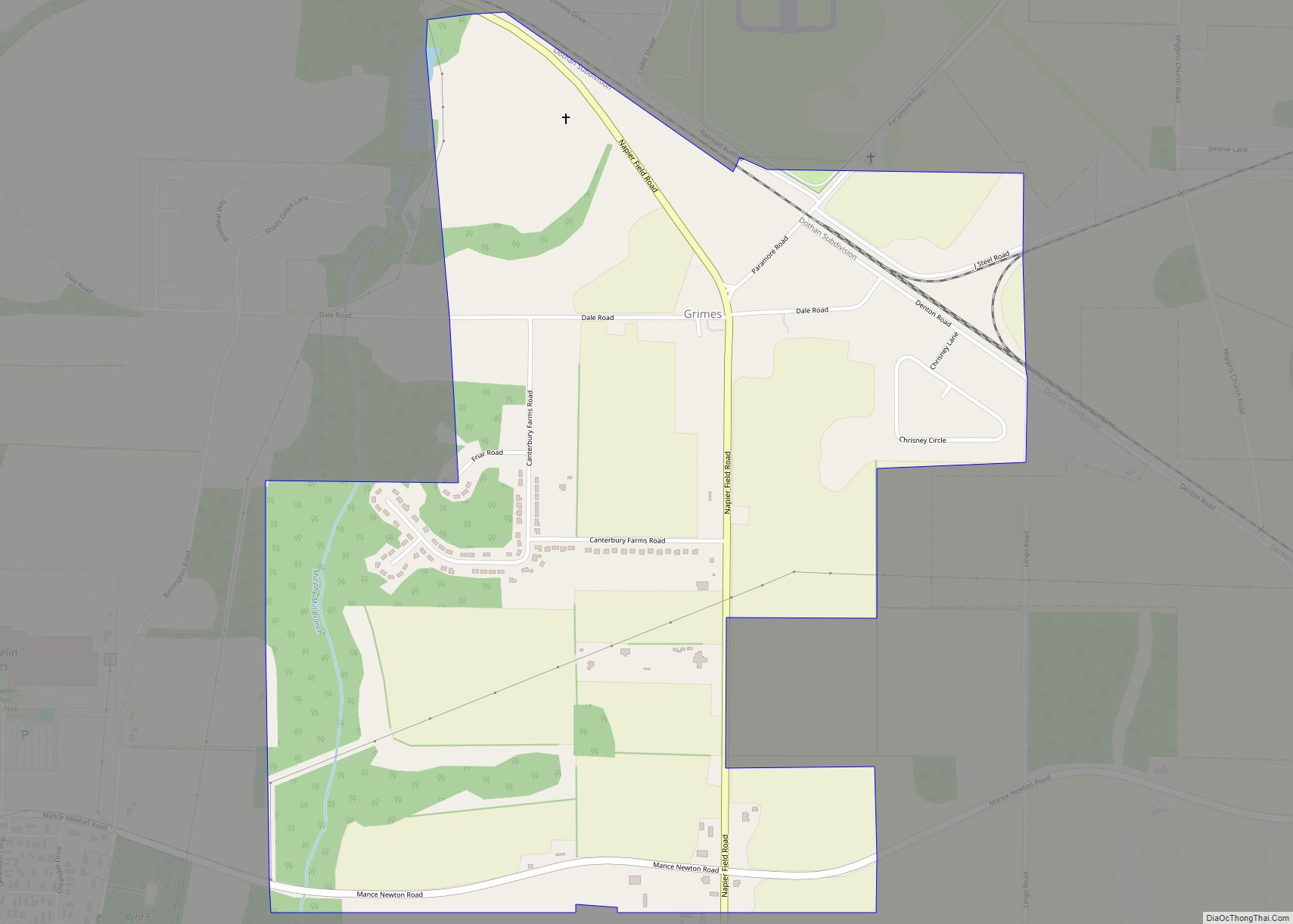
Online Interactive Map
Click on ![]() to view map in "full screen" mode.
to view map in "full screen" mode.
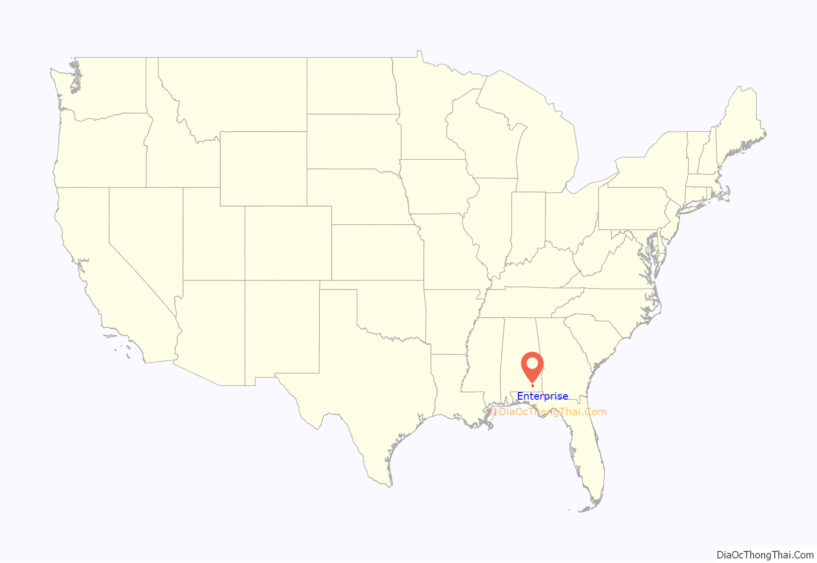
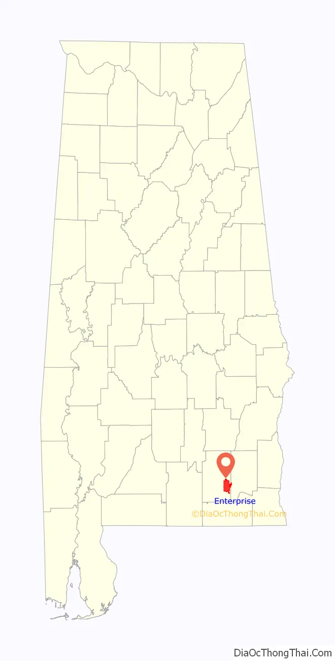
Enterprise location map. Where is Enterprise city?
History
Founding and the Boll Weevil Monument
The founder of Enterprise, John Henry Carmichael, first settled there in 1881. Carmichael opened a store, which attracted more settlers to the area, and by the next year, a post office was relocated from the settlement of Drake Eye to the north to Enterprise. In 1896, with 250 people having settled there, the city of Enterprise incorporated. Soon afterward, the Alabama Midland Railway came to Enterprise, bringing with it opportunities for commerce and growth. By 1906, its population had grown to 3,750.
Enterprise’s way of life came under threat in 1915. An infestation of boll weevils found its way into the region’s cotton crops, resulting in the destruction of most of the cotton in Coffee County. Facing economic ruin, the nearly bankrupt area farmers were forced to diversify, planting peanuts and other crops in an effort to lessen the damage and recoup some of their losses.
Two years later, Coffee County was the United States’ leading producer of peanuts. Not only did Enterprise stave off disaster, but its economy was renewed by the thriving new crop base. In appreciation, the people of Enterprise erected a monument in the city center to what the monument calls their “herald of prosperity”, the boll weevil. The Boll Weevil Monument was dedicated on December 11, 1919, as a reminder of how the city adjusted in the face of adversity. It is the only monument to an agricultural pest in the world.
March 2007 tornado
In the early afternoon of March 1, 2007, Enterprise was hit by a devastating tornado (rated EF4) during the February–March 2007 tornado outbreak. The tornado caused nine deaths, injured over 121 others, and left severe damage in the city estimated at nearly $307,000,000, the worst disaster in Enterprise history.
The worst damage occurred at Enterprise High School, where eight students died after a hallway was almost completely destroyed. The students were Michael Bowen (16), Andrew (AJ) Jackson (16), Ryan Mohler (16), Peter Dunn lll (16), Michael (Mikey) Tompkins (17), Jamie Vidensek (17), Michelle Wilson (16) and Kathryn Strunk (16); the remaining casualty was resident Edna Strickland. A quarter mile-wide swath through the downtown area was devastated, with at least 370 houses damaged or destroyed. The National Guard was called into the city; a dusk-to-dawn curfew was implemented immediately after the disaster. President Bush, who arrived the morning of March 3, declared the county a disaster area. An AmeriCorps team was sent to the city to help organize and participate in disaster relief.
The high school was to be relocated to the west end of Boll Weevil Circle. It was due to be rebuilt by the 2010–11 school year at a cost over $80,000,000. Until then, the students were required to go to school at the local community college, where trailers were used to add classrooms. The high school was rebuilt and reopened on August 23, 2010.
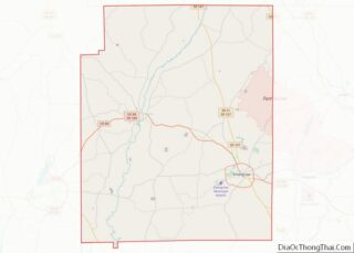
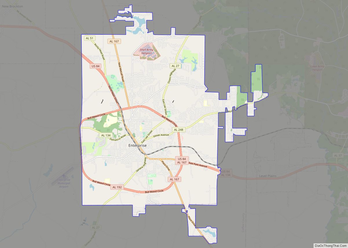
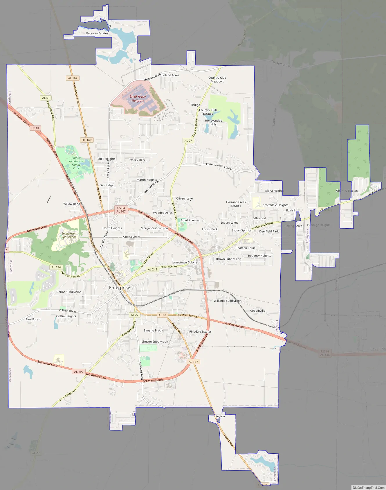
Enterprise Road Map
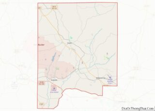
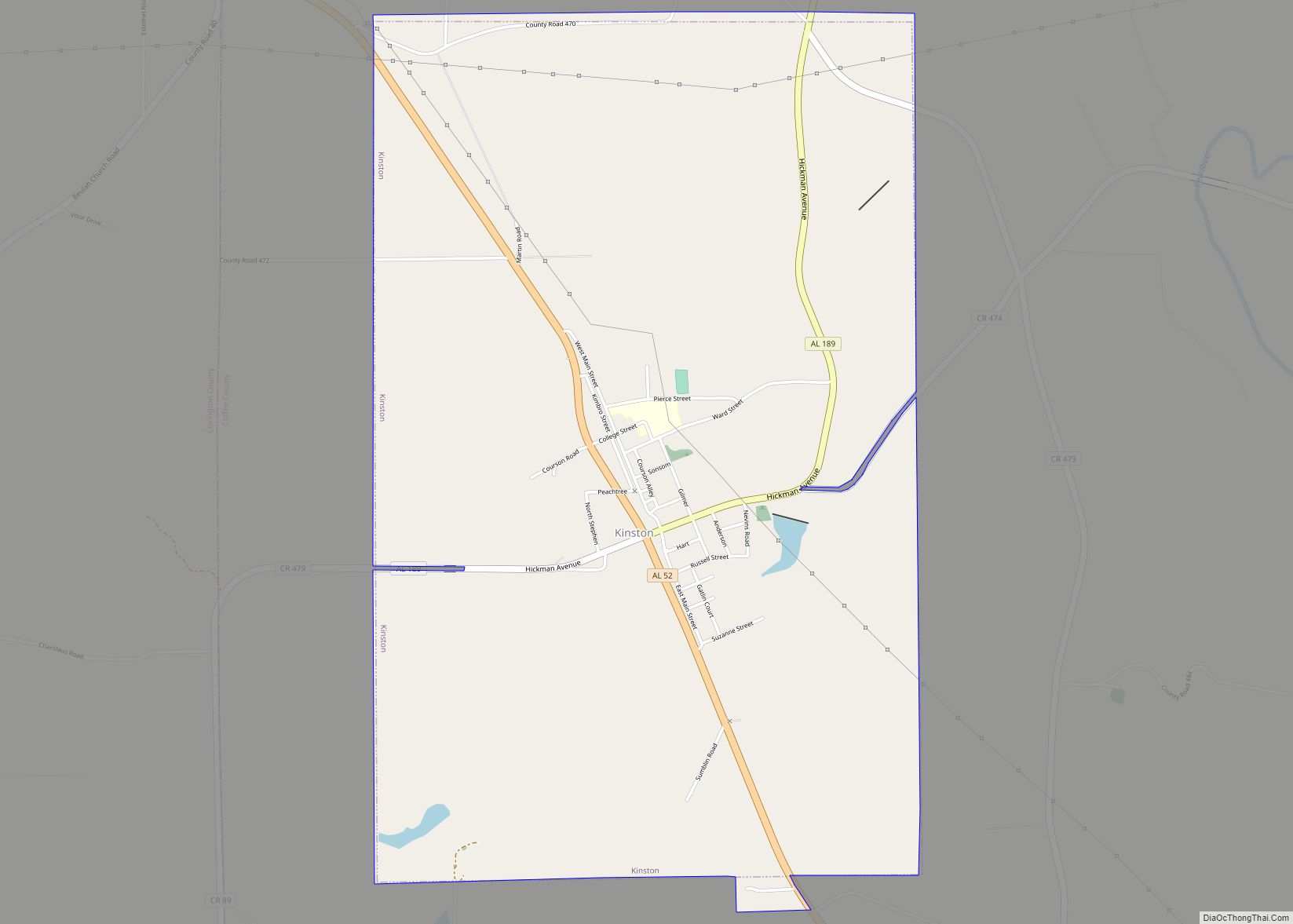
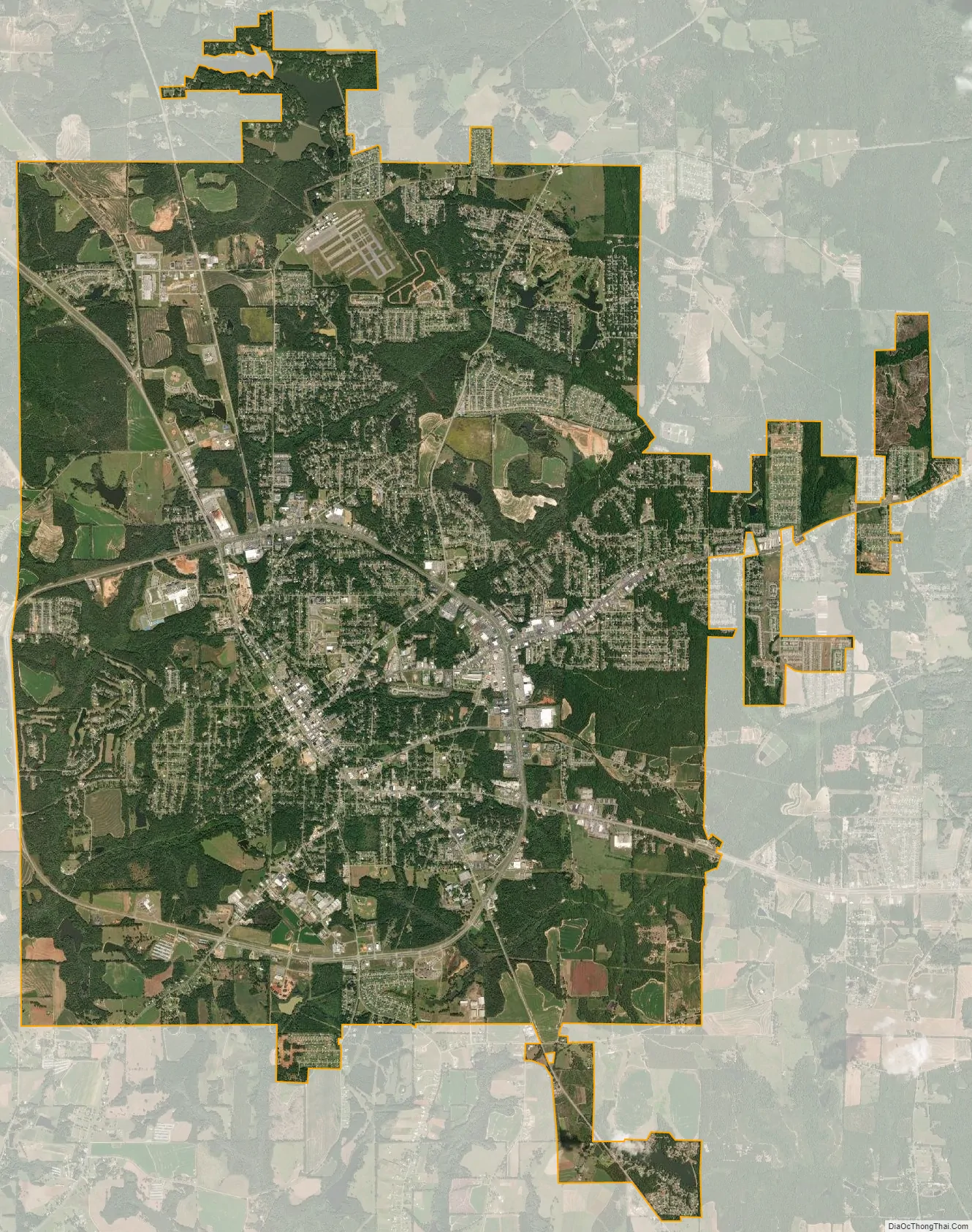
Enterprise city Satellite Map
Geography
Enterprise is located at 31° 19′ 39″ N, 85° 50′ 40″ W (31.3275 N, -85.844444 W).
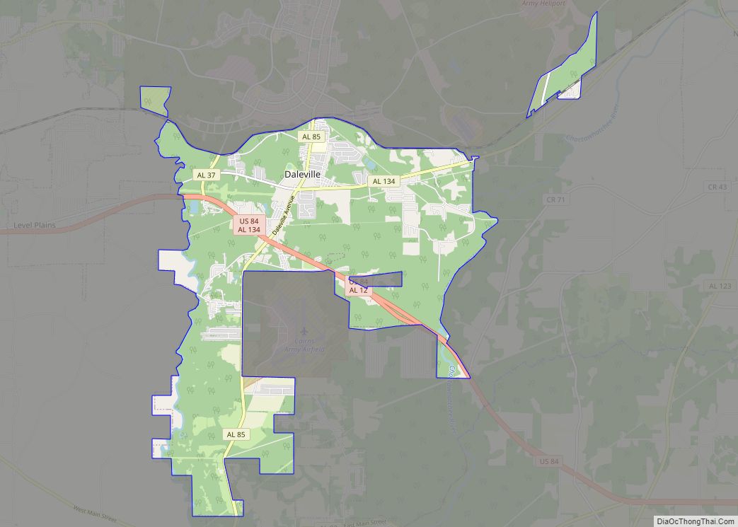
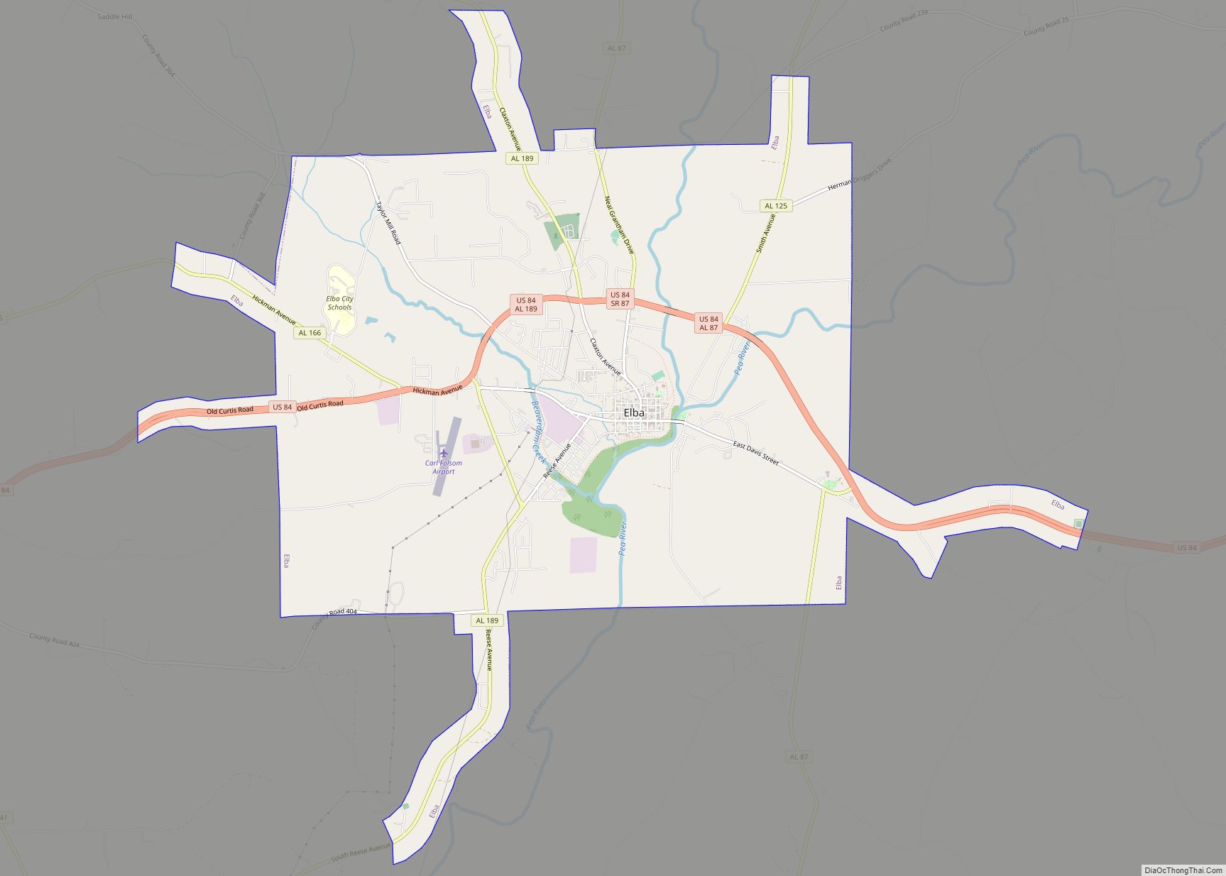
Major highways that run through the city include U.S. Route 84 and Alabama State Routes 27, 134, and 167. US 84 runs through the northern part of the city along Boll Weevil Circle, leading northwest 16 mi (26 km) to Elba, the Coffee County seat, and east 9 mi (14 km) to Daleville. SR 167 runs north to south on the eastern side of the city on Boll Weevil Circle, leading north 26 mi (42 km) to SR 87 south of Troy and southeast 18 mi (29 km) to Hartford. SR 134 runs west 26 mi (42 km) to Opp.
Climate
The climate in this area is characterized by hot, humid summers and generally mild winters. According to the Köppen Climate Classification system, Enterprise has a humid subtropical climate, abbreviated “Cfa” on climate maps. The temperatures are moderated by its proximity to the Gulf Coast, and is part of the Wiregrass Region of Southern Alabama, Georgia, and Florida. The temperatures are usually not dissimilar from the Florida panhandle area.
It is located in USDA Plant Hardiness Zone 8B with an average minimum temperature of 15 to 20 (F). As a result of its mild to warm climate, palm trees such as Butia capitata, Sabal palmetto, Phoenix canariensis, Cycas revoluta, and Trachycarpus fortunei are widely grown throughout the city. Hurricanes and Tornadoes are common here as occasionally hurricanes can reach as far inland as Enterprise and tornadoes also can exist in Enterprise. Hurricane Eloise (1975) and Hurricane Opal (1995) caused extensive damage to the city.
See also
Map of Alabama State and its subdivision:- Autauga
- Baldwin
- Barbour
- Bibb
- Blount
- Bullock
- Butler
- Calhoun
- Chambers
- Cherokee
- Chilton
- Choctaw
- Clarke
- Clay
- Cleburne
- Coffee
- Colbert
- Conecuh
- Coosa
- Covington
- Crenshaw
- Cullman
- Dale
- Dallas
- De Kalb
- Elmore
- Escambia
- Etowah
- Fayette
- Franklin
- Geneva
- Greene
- Hale
- Henry
- Houston
- Jackson
- Jefferson
- Lamar
- Lauderdale
- Lawrence
- Lee
- Limestone
- Lowndes
- Macon
- Madison
- Marengo
- Marion
- Marshall
- Mobile
- Monroe
- Montgomery
- Morgan
- Perry
- Pickens
- Pike
- Randolph
- Russell
- Saint Clair
- Shelby
- Sumter
- Talladega
- Tallapoosa
- Tuscaloosa
- Walker
- Washington
- Wilcox
- Winston
- Alabama
- Alaska
- Arizona
- Arkansas
- California
- Colorado
- Connecticut
- Delaware
- District of Columbia
- Florida
- Georgia
- Hawaii
- Idaho
- Illinois
- Indiana
- Iowa
- Kansas
- Kentucky
- Louisiana
- Maine
- Maryland
- Massachusetts
- Michigan
- Minnesota
- Mississippi
- Missouri
- Montana
- Nebraska
- Nevada
- New Hampshire
- New Jersey
- New Mexico
- New York
- North Carolina
- North Dakota
- Ohio
- Oklahoma
- Oregon
- Pennsylvania
- Rhode Island
- South Carolina
- South Dakota
- Tennessee
- Texas
- Utah
- Vermont
- Virginia
- Washington
- West Virginia
- Wisconsin
- Wyoming