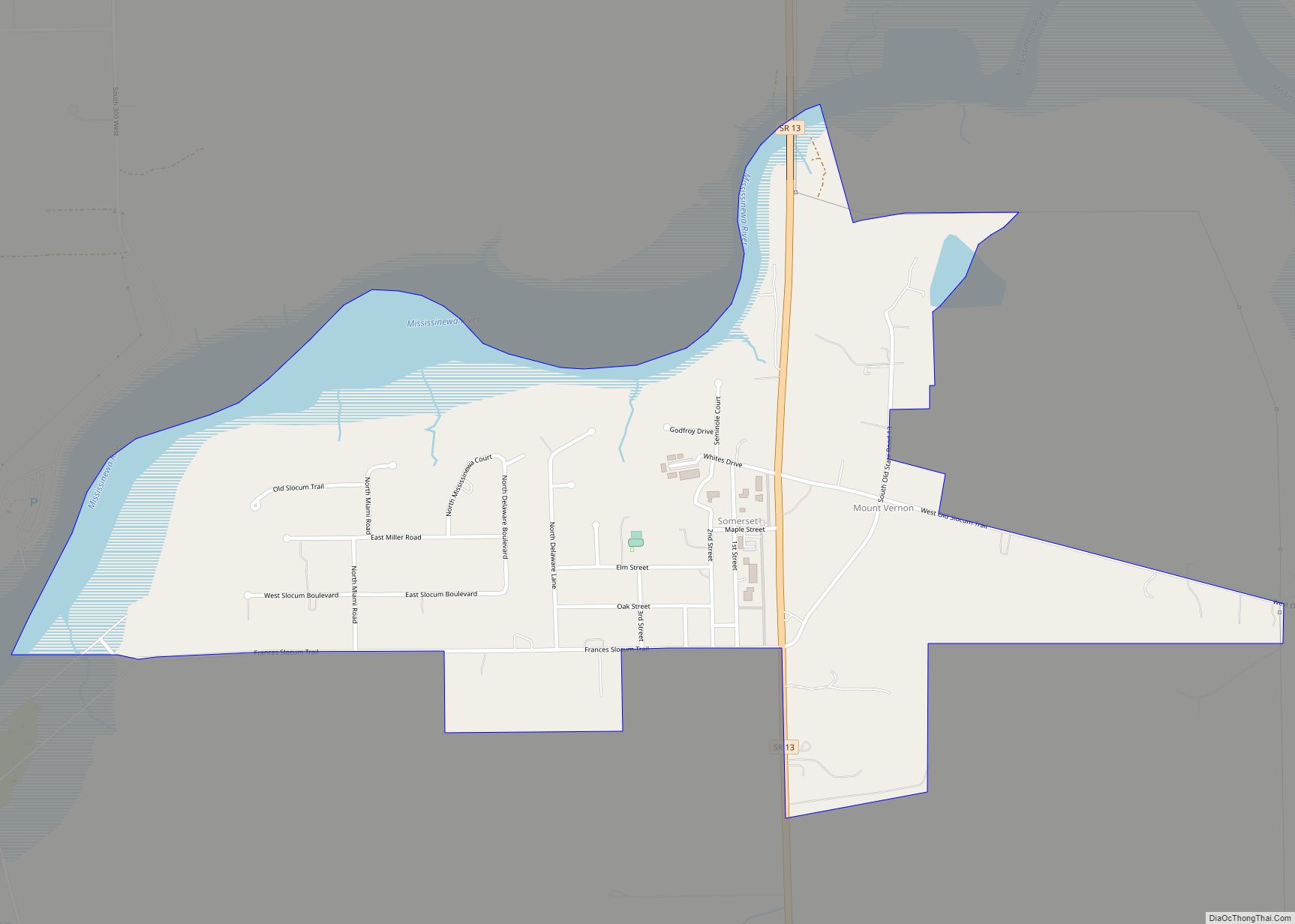
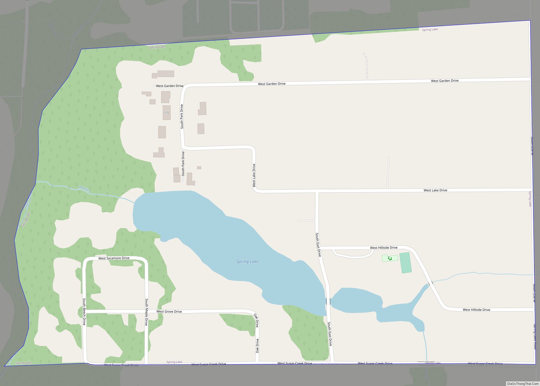
Somerset is an unincorporated census-designated place in Waltz Township, Wabash County, in the U.S. state of Indiana. Somerset CDP overview: Name: Somerset CDP LSAD Code: 57 LSAD Description: CDP (suffix) State: Indiana County: Wabash County Elevation: 810 ft (247 m) Total Area: 0.82 sq mi (2.13 km²) Land Area: 0.68 sq mi (1.76 km²) Water Area: 0.14 sq mi (0.37 km²) Total Population: 385 Population Density: ... Read more
Map of US Cities and Places
Smithville-Sanders is a census-designated place (CDP) encompassing the communities of Smithville and Sanders in Monroe County, Indiana, United States. Its population was 3,323 as of the 2020 census. Smithville-Sanders CDP overview: Name: Smithville-Sanders CDP LSAD Code: 57 LSAD Description: CDP (suffix) State: Indiana County: Monroe County Elevation: 715 ft (218 m) Total Area: 10.72 sq mi (27.76 km²) Land Area: ... Read more
Southport is an excluded city in Marion County, Indiana, United States. The population was 2,123 at the 2020 census, up from 1,712 in 2010. Southport city overview: Name: Southport city LSAD Code: 25 LSAD Description: city (suffix) State: Indiana County: Marion County Elevation: 748 ft (228 m) Total Area: 0.63 sq mi (1.63 km²) Land Area: 0.63 sq mi (1.63 km²) Water Area: ... Read more
South Whitley is a town in Cleveland Township, Whitley County, in the U.S. state of Indiana. The population was 1,751 at the 2010 census. South Whitley is a town in the Midwestern tradition of red brick buildings and tree-lined streets. South Whitley town overview: Name: South Whitley town LSAD Code: 43 LSAD Description: town (suffix) ... Read more
South Haven is a census-designated place in Portage Township, Porter County, in the U.S. state of Indiana. The population was 5,282 at the 2010 census. South Haven CDP overview: Name: South Haven CDP LSAD Code: 57 LSAD Description: CDP (suffix) State: Indiana County: Porter County Elevation: 653 ft (199 m) Total Area: 1.24 sq mi (3.22 km²) Land Area: 1.24 sq mi ... Read more
Spiceland is a town in Spiceland Township, Henry County, Indiana, United States. The population was 890 at the 2010 census. Spiceland town overview: Name: Spiceland town LSAD Code: 43 LSAD Description: town (suffix) State: Indiana County: Henry County Elevation: 1,050 ft (320 m) Total Area: 1.46 sq mi (3.78 km²) Land Area: 1.46 sq mi (3.78 km²) Water Area: 0.00 sq mi (0.00 km²) Total Population: ... Read more
Spencer is a town in Washington Township, Owen County, in the U.S. state of Indiana. The population was 2,217 at the 2010 census. It is the county seat of Owen County. Spencer is part of the Bloomington, Indiana Metropolitan Statistical Area. Spencer town overview: Name: Spencer town LSAD Code: 43 LSAD Description: town (suffix) State: ... Read more
Speedway is a town in Wayne Township, Marion County, Indiana, United States. The population was 13,952 at the 2020 census, up from 11,812 in 2010. Speedway, which is an enclave of Indianapolis, is the home of the Indianapolis Motor Speedway. Speedway town overview: Name: Speedway town LSAD Code: 43 LSAD Description: town (suffix) State: Indiana ... Read more
Spring Lake is a town in Sugar Creek Township, Hancock County, Indiana, United States, along Sugar Creek. The population was 218 at the 2010 census. Spring Lake town overview: Name: Spring Lake town LSAD Code: 43 LSAD Description: town (suffix) State: Indiana County: Hancock County Elevation: 850 ft (259 m) Total Area: 0.16 sq mi (0.42 km²) Land Area: 0.15 sq mi ... Read more
Spring Hill is a town in Marion County, Indiana, United States. The population was 95 at the 2020 census. It has existed as an “included town” since 1970, when it was incorporated into Indianapolis as part of Unigov. It is part of Indianapolis, but retains town governmental powers under IC 36-3-1-11. Spring Hill town overview: ... Read more
Spring Grove is a town in Wayne Township, Wayne County, in the U.S. state of Indiana. The population was 344 at the 2010 census. Spring Grove town overview: Name: Spring Grove town LSAD Code: 43 LSAD Description: town (suffix) State: Indiana County: Wayne County Elevation: 984 ft (300 m) Total Area: 0.30 sq mi (0.79 km²) Land Area: 0.30 sq mi (0.79 km²) ... Read more
Springport is a town in Prairie Township, Henry County, Indiana, United States. The population was 149 at the 2010 census. Springport town overview: Name: Springport town LSAD Code: 43 LSAD Description: town (suffix) State: Indiana County: Henry County Elevation: 1,063 ft (324 m) Total Area: 0.12 sq mi (0.31 km²) Land Area: 0.12 sq mi (0.31 km²) Water Area: 0.00 sq mi (0.00 km²) Total Population: ... Read more