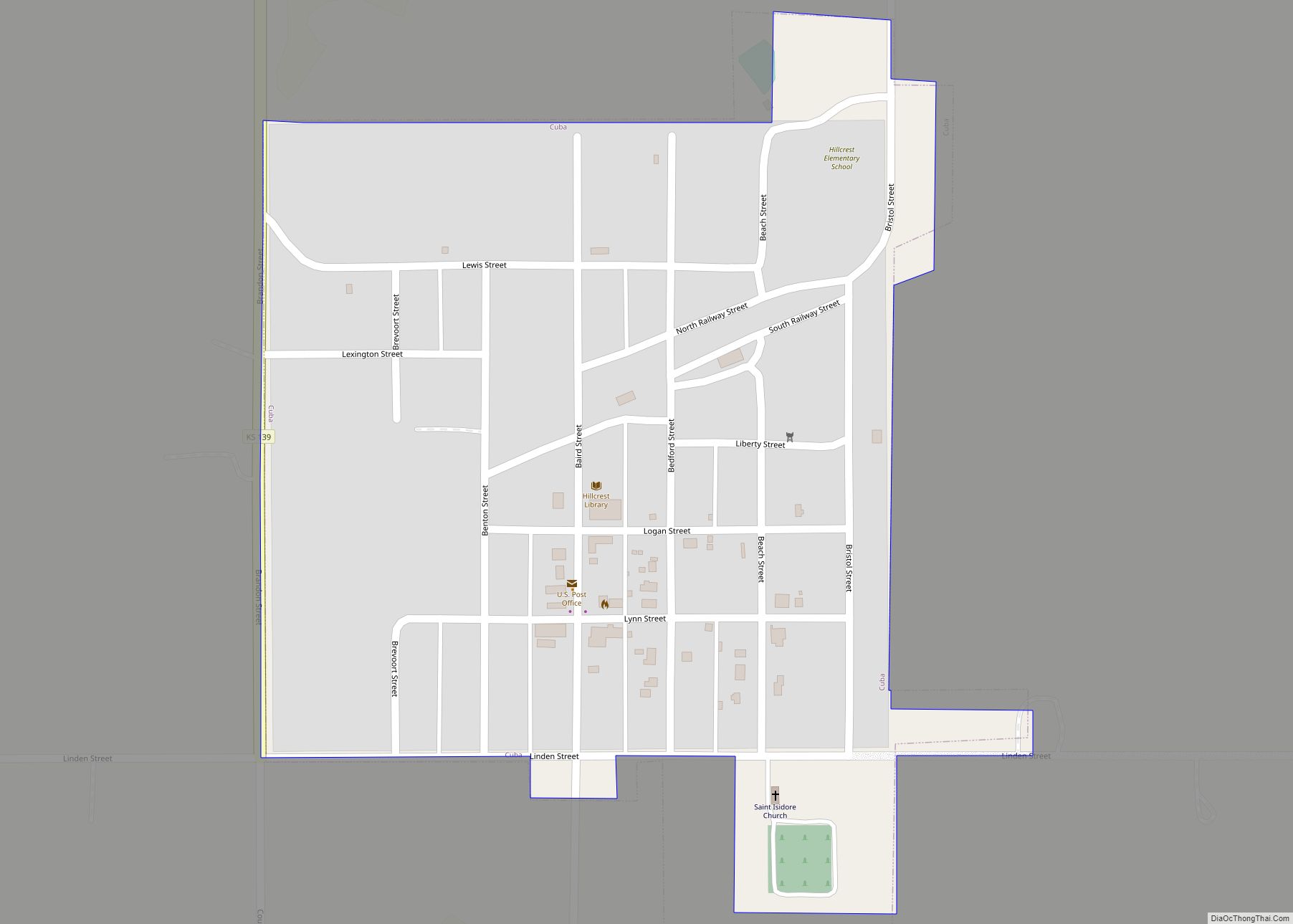
Cuba is a city in Republic County, Kansas, United States. As of the 2020 census, the population of the city was 140. Cuba city overview: Name: Cuba city LSAD Code: 25 LSAD Description: city (suffix) State: Kansas County: Republic County Founded: 1868 Incorporated: 1885 Elevation: 1,581 ft (482 m) Total Area: 0.29 sq mi (0.75 km²) Land Area: 0.29 sq mi (0.75 km²) ... Read more
Map of US Cities and Places
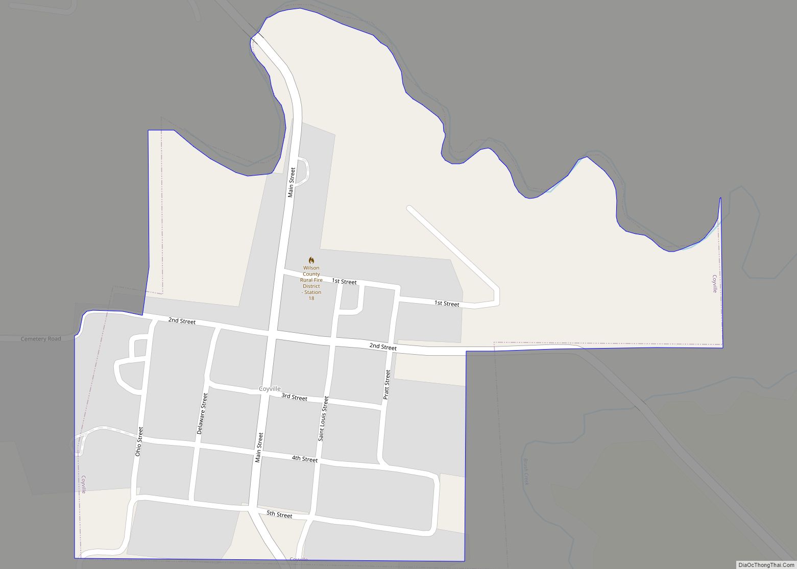
Coyville is a city in Wilson County, Kansas, United States. As of the 2020 census, the population of the city was 60. Coyville city overview: Name: Coyville city LSAD Code: 25 LSAD Description: city (suffix) State: Kansas County: Wilson County Incorporated: 1906 Elevation: 886 ft (270 m) Total Area: 0.27 sq mi (0.70 km²) Land Area: 0.27 sq mi (0.70 km²) Water Area: ... Read more
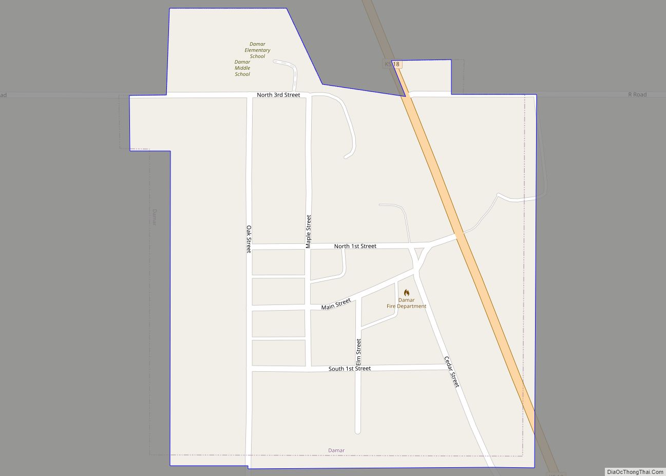
Damar is a city in Rooks County, Kansas, United States. As of the 2020 census, the population of the city was 112. Damar city overview: Name: Damar city LSAD Code: 25 LSAD Description: city (suffix) State: Kansas County: Rooks County Founded: 1888 Incorporated: 1935 Elevation: 2,106 ft (642 m) Total Area: 0.19 sq mi (0.49 km²) Land Area: 0.19 sq mi (0.49 km²) ... Read more
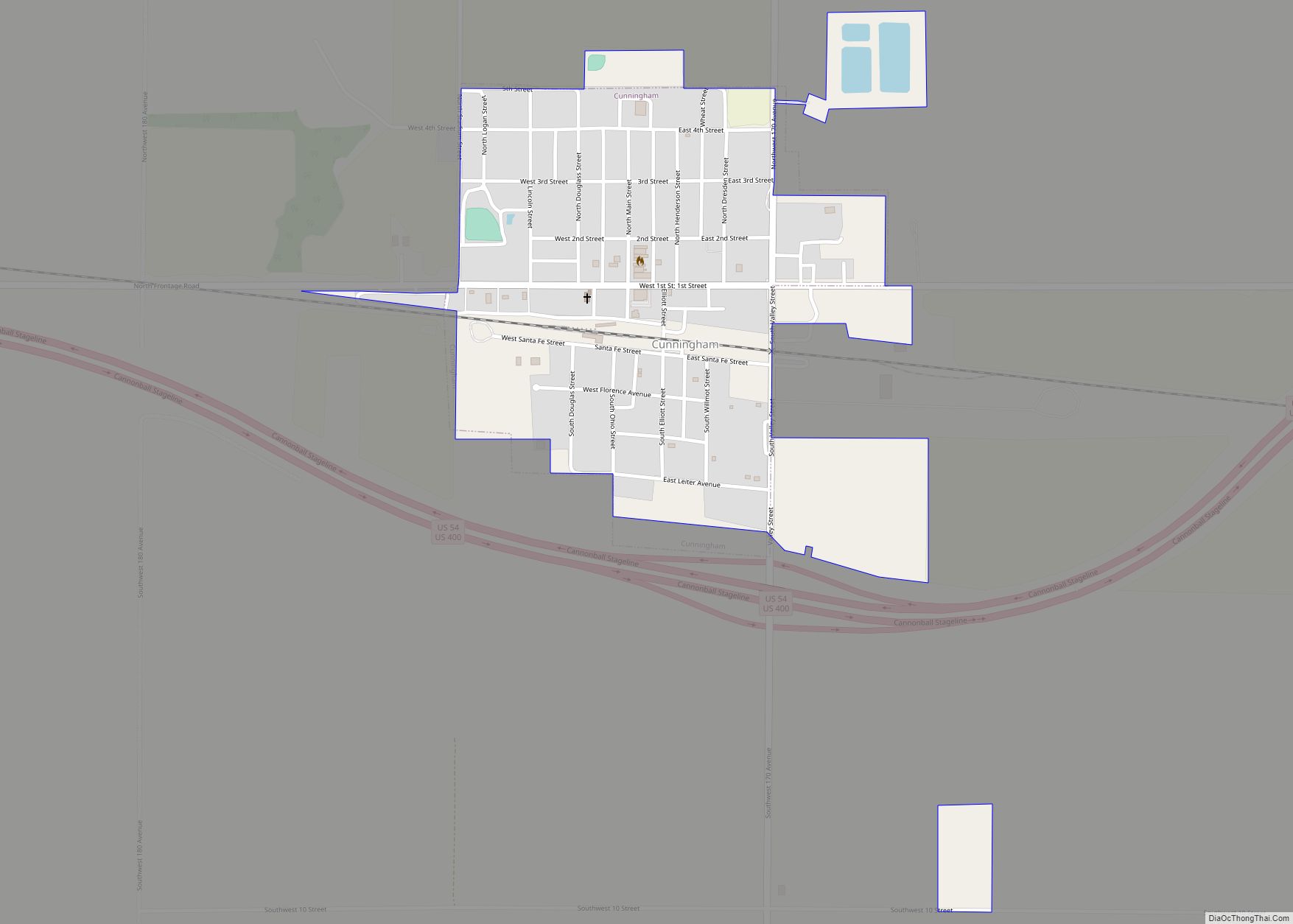
Cunningham is a city in Kingman County, Kansas, United States. As of the 2020 census, the population of the city was 444. The city was named in honor of J.D. Cunningham, a pioneer settler. Cunningham city overview: Name: Cunningham city LSAD Code: 25 LSAD Description: city (suffix) State: Kansas County: Kingman County Founded: 1880s Incorporated: ... Read more
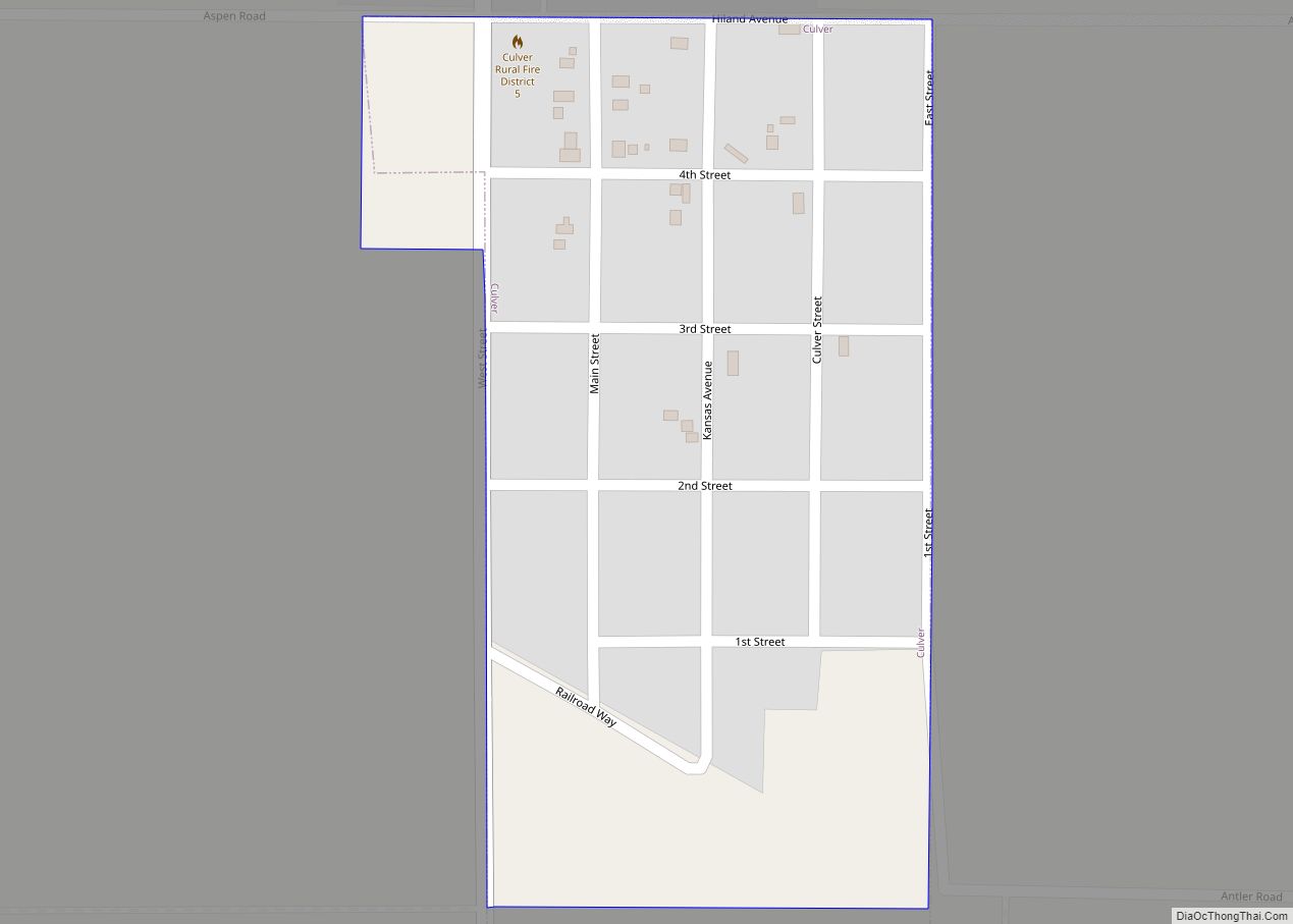
Culver is a city in Ottawa County, Kansas, United States. As of the 2020 census, the population of the city was 114. It is located northwest of Salina at the intersection of 90th Road and Aspen Road, next to an abandoned railroad. Culver city overview: Name: Culver city LSAD Code: 25 LSAD Description: city (suffix) ... Read more
Danville is a city in Harper County, Kansas, United States. As of the 2020 census, the population of the city was 29. Danville city overview: Name: Danville city LSAD Code: 25 LSAD Description: city (suffix) State: Kansas County: Harper County Founded: 1880s Incorporated: 1926 Elevation: 1,342 ft (409 m) Total Area: 0.08 sq mi (0.21 km²) Land Area: 0.08 sq mi (0.21 km²) ... Read more
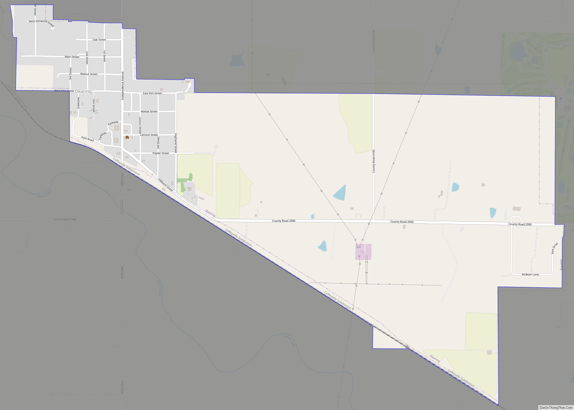
Dearing is a city in Montgomery County, Kansas, United States. As of the 2020 census, the population of the city was 382. Dearing city overview: Name: Dearing city LSAD Code: 25 LSAD Description: city (suffix) State: Kansas County: Montgomery County Incorporated: 1909 Elevation: 771 ft (235 m) Total Area: 1.51 sq mi (3.92 km²) Land Area: 1.51 sq mi (3.92 km²) Water Area: ... Read more
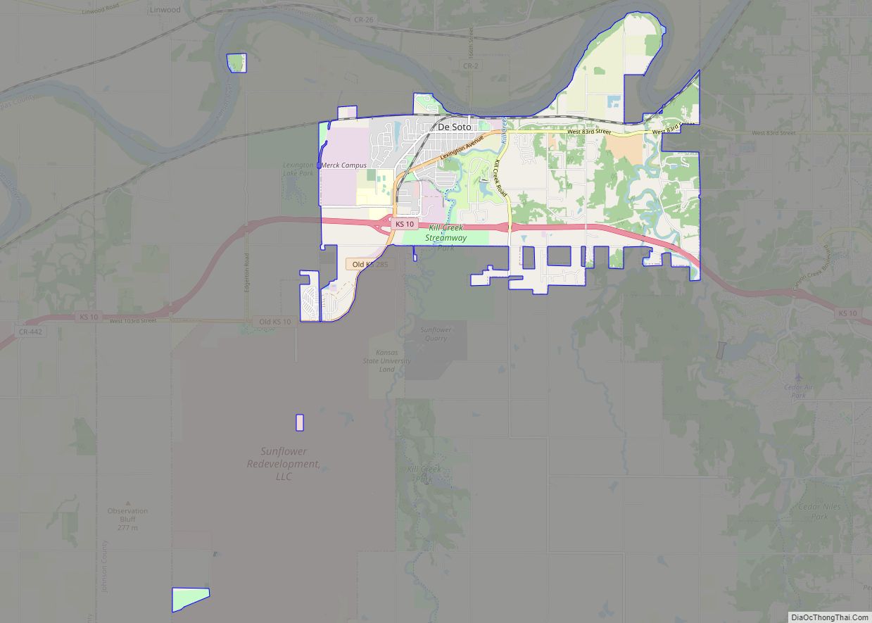
De Soto /dəˈsoʊtoʊ/ is a city along the Kansas River, in Johnson and Leavenworth counties in the U.S. state of Kansas, and part of the Kansas City Metropolitan Area. As of the 2020 census, the population of the city was 6,118, and the 2021 estimate is 6,380. De Soto city overview: Name: De Soto city ... Read more
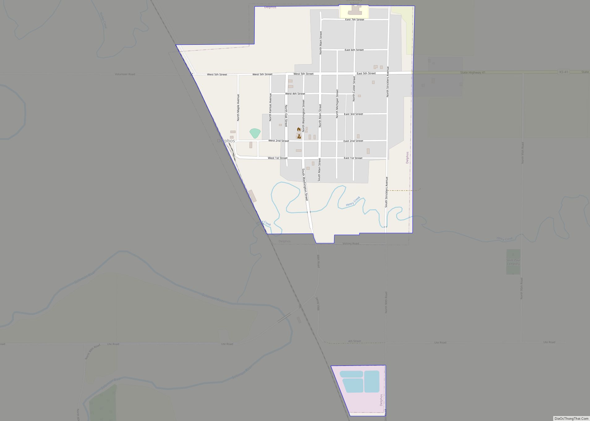
Delphos is a city in Ottawa County, Kansas, United States. As of the 2020 census, the population of the city was 302. The community was named after Delphos, Ohio. Delphos city overview: Name: Delphos city LSAD Code: 25 LSAD Description: city (suffix) State: Kansas County: Ottawa County Founded: 1867 Incorporated: 1884 Elevation: 1,303 ft (397 m) Total ... Read more
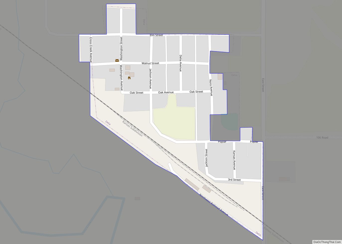
Delia is a city in Jackson County, Kansas, United States. As of the 2020 census, the population of the city was 151. Delia city overview: Name: Delia city LSAD Code: 25 LSAD Description: city (suffix) State: Kansas County: Jackson County Founded: 1905 Incorporated: 1918 Elevation: 978 ft (298 m) Total Area: 0.12 sq mi (0.30 km²) Land Area: 0.12 sq mi (0.30 km²) ... Read more
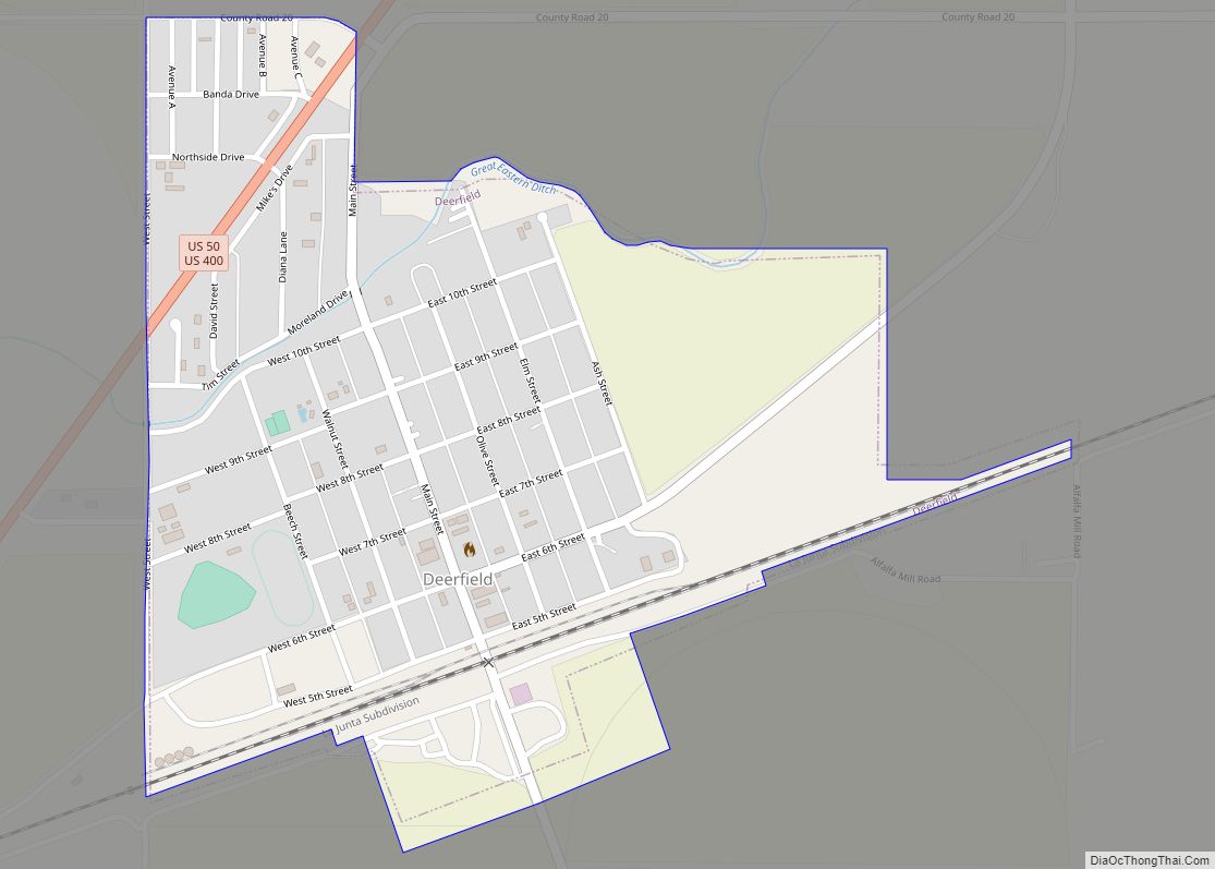
Deerfield is a city in Kearny County, Kansas, United States. As of the 2020 census, the population of the city was 711. Deerfield city overview: Name: Deerfield city LSAD Code: 25 LSAD Description: city (suffix) State: Kansas County: Kearny County Founded: 1885 Incorporated: 1907 Elevation: 2,946 ft (898 m) Total Area: 0.48 sq mi (1.25 km²) Land Area: 0.48 sq mi (1.25 km²) ... Read more
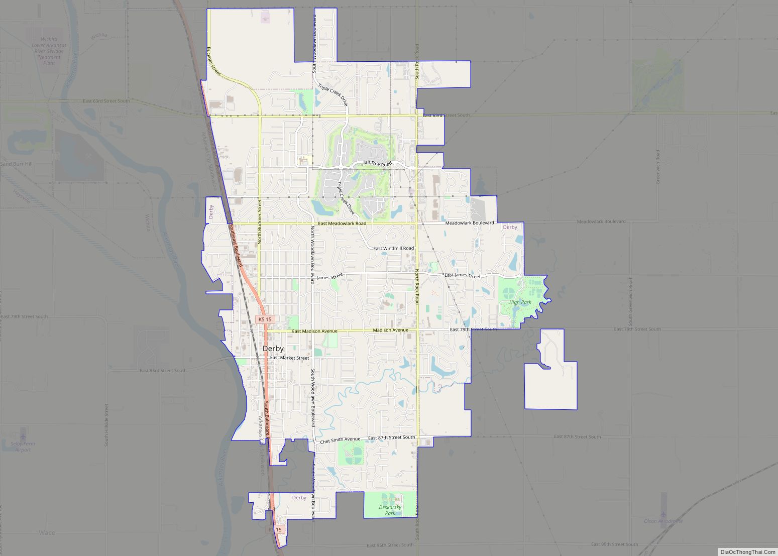
Derby is a city in Sedgwick County, Kansas, United States and the largest suburb of Wichita. As of the 2020 census, the population of the city was 25,625. Derby city overview: Name: Derby city LSAD Code: 25 LSAD Description: city (suffix) State: Kansas County: Sedgwick County Founded: 1870s Incorporated: 1903 (El Paso)1956 (Derby) Elevation: 1,293 ft ... Read more
