Derby is a city in Sedgwick County, Kansas, United States and the largest suburb of Wichita. As of the 2020 census, the population of the city was 25,625.
| Name: | Derby city |
|---|---|
| LSAD Code: | 25 |
| LSAD Description: | city (suffix) |
| State: | Kansas |
| County: | Sedgwick County |
| Founded: | 1870s |
| Incorporated: | 1903 (El Paso) 1956 (Derby) |
| Elevation: | 1,293 ft (394 m) |
| Total Area: | 10.32 sq mi (26.74 km²) |
| Land Area: | 10.26 sq mi (26.57 km²) |
| Water Area: | 0.07 sq mi (0.17 km²) |
| Total Population: | 25,625 |
| Population Density: | 2,500/sq mi (960/km²) |
| ZIP code: | 67037 |
| Area code: | 316 |
| FIPS code: | 2017800 |
| Website: | derbyweb.com |
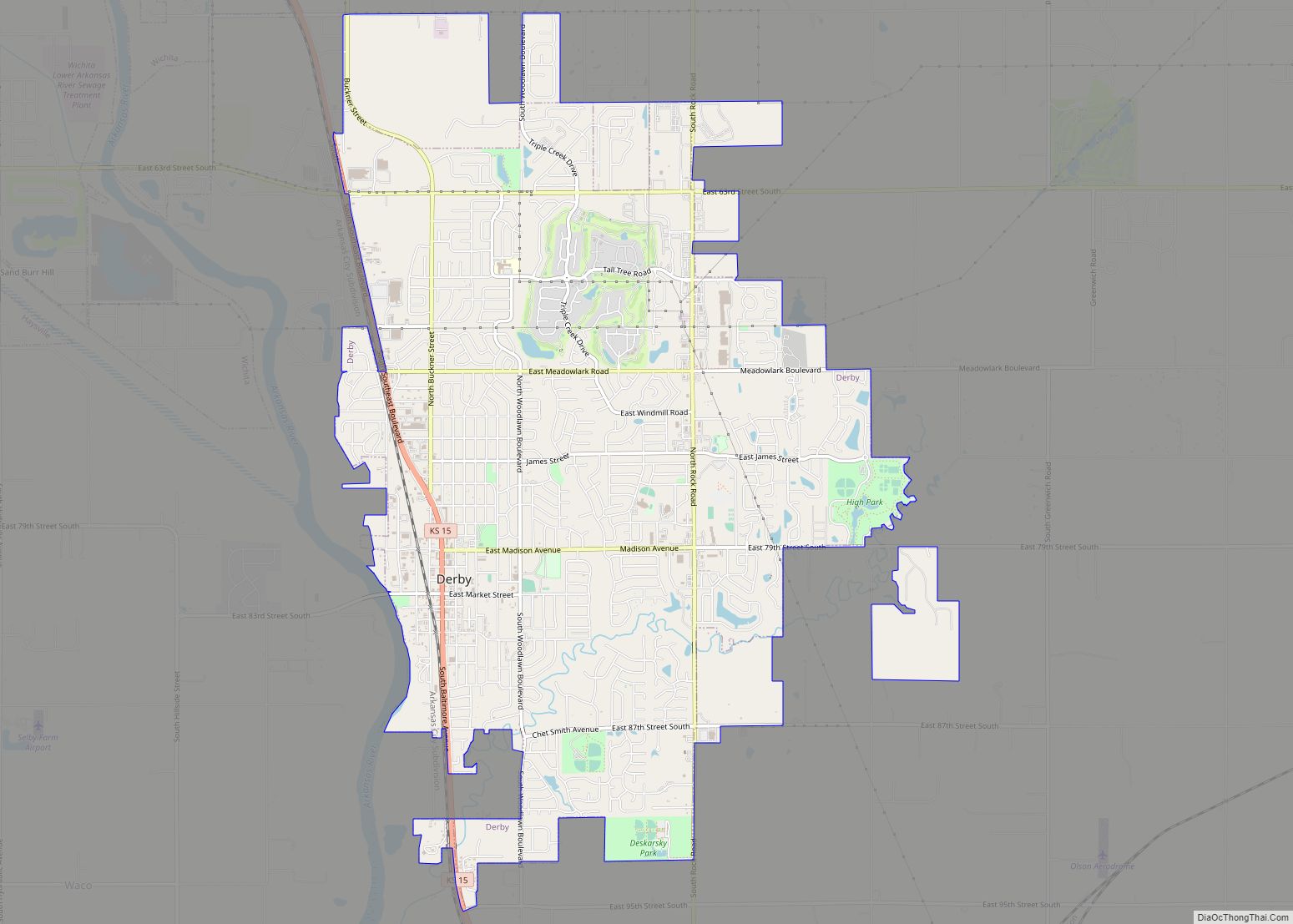
Online Interactive Map
Click on ![]() to view map in "full screen" mode.
to view map in "full screen" mode.
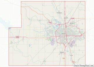
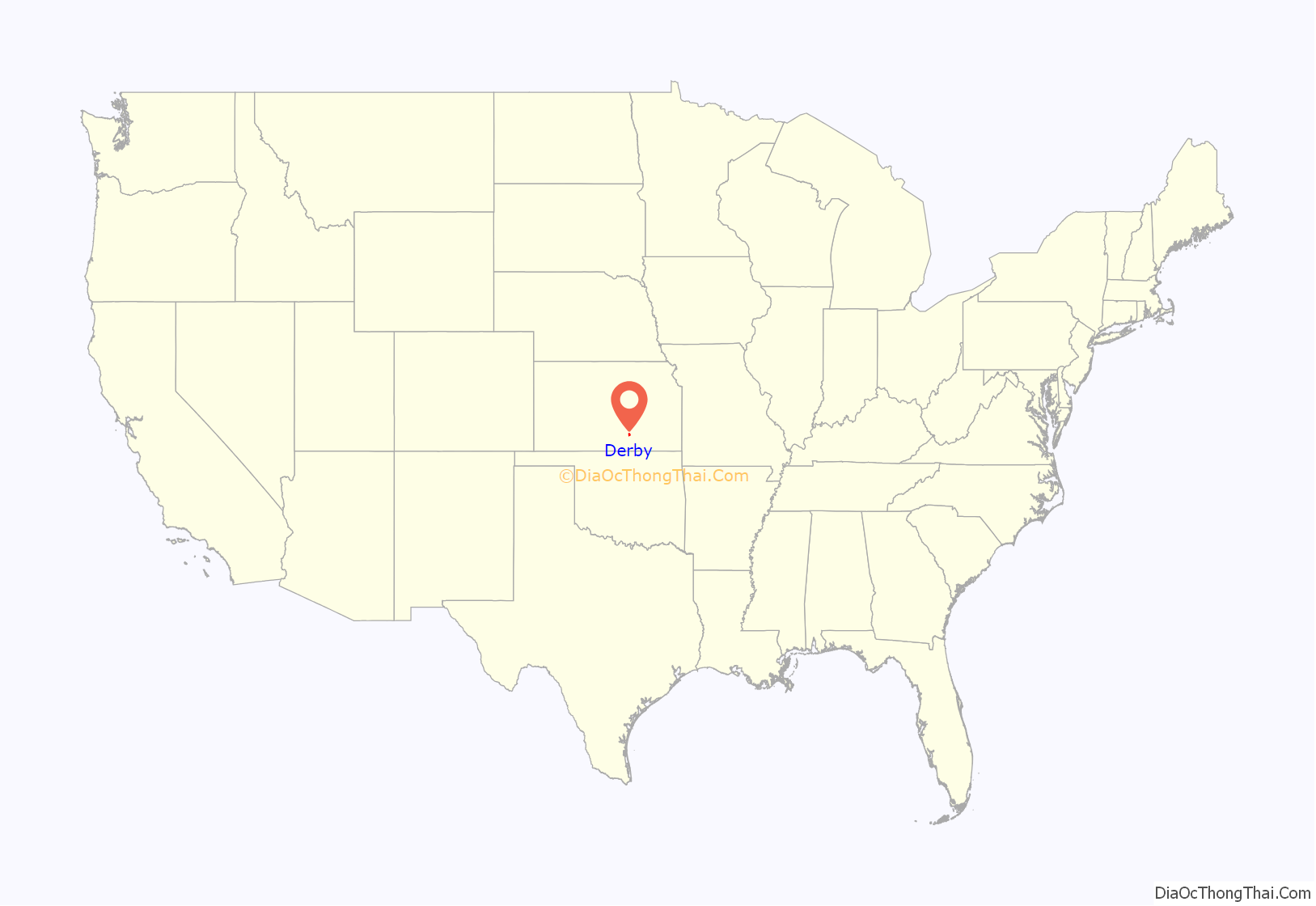
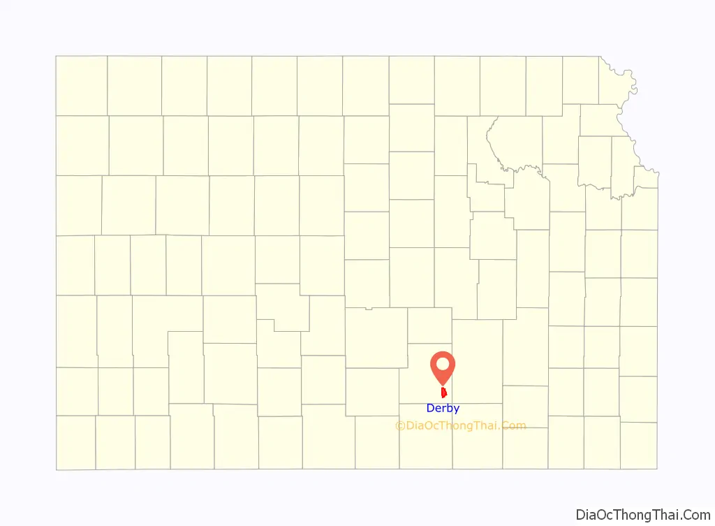
Derby location map. Where is Derby city?
History
For many millennia, the Great Plains of North America were inhabited by Native Americans. From the 16th century to the 18th century, the Kingdom of France claimed ownership of large parts of North America. In 1762, after the French and Indian War, France secretly ceded New France to Spain, per the Treaty of Fontainebleau.
19th century
In 1802, Spain returned most of the land to France. In 1803, most of the land for modern day Kansas was acquired by the United States from France as part of the 828,000 square miles (2,140,000 km) Louisiana Purchase for 2.83 cents per acre.
In 1854, the Kansas Territory was organized, then in 1861 Kansas became the 34th U.S. state. In 1867, Sedgwick County was established within the state of Kansas, which included the land for modern day Derby.
In 1870, settlers John Haufbauer and J.H. Minich built the first houses, smithies, and general stores on the site that would become Derby. In 1871, the community was named El Paso, after El Paso, Illinois, and was laid out and platted. In 1880, the Atchison, Topeka and Santa Fe Railway changed the name of its rail station to Derby, after railroad official C.F. Derby, to avoid confusion with El Paso, Texas.
20th century
In 1903, the city incorporated with the name El Paso, but the city remained largely a rural community until after World War II.
The aviation industry had begun its growth in Wichita during the 1920s, and when the demands of the war required more airplanes, businesses such as Boeing, Cessna and Beechcraft flourished. Boeing was located a few miles north of the city, which provided a close place for workers to live. Throughout the Cold War, Boeing maintained military contracts and kept jobs nearby. In 1952, the Air Force took over Wichita Municipal Airport and founded McConnell Air Force Base between Wichita and Derby. Many airmen found homes in Derby when space on base became occupied. From 1950 to 1956, the city population grew from 432 to approximately 5000 people.
In 1956, the city name was officially changed to Derby.
Derby Road Map
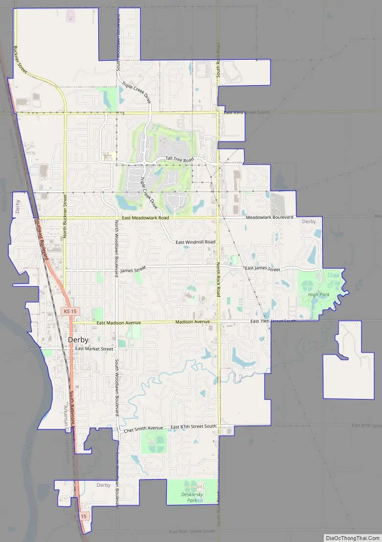
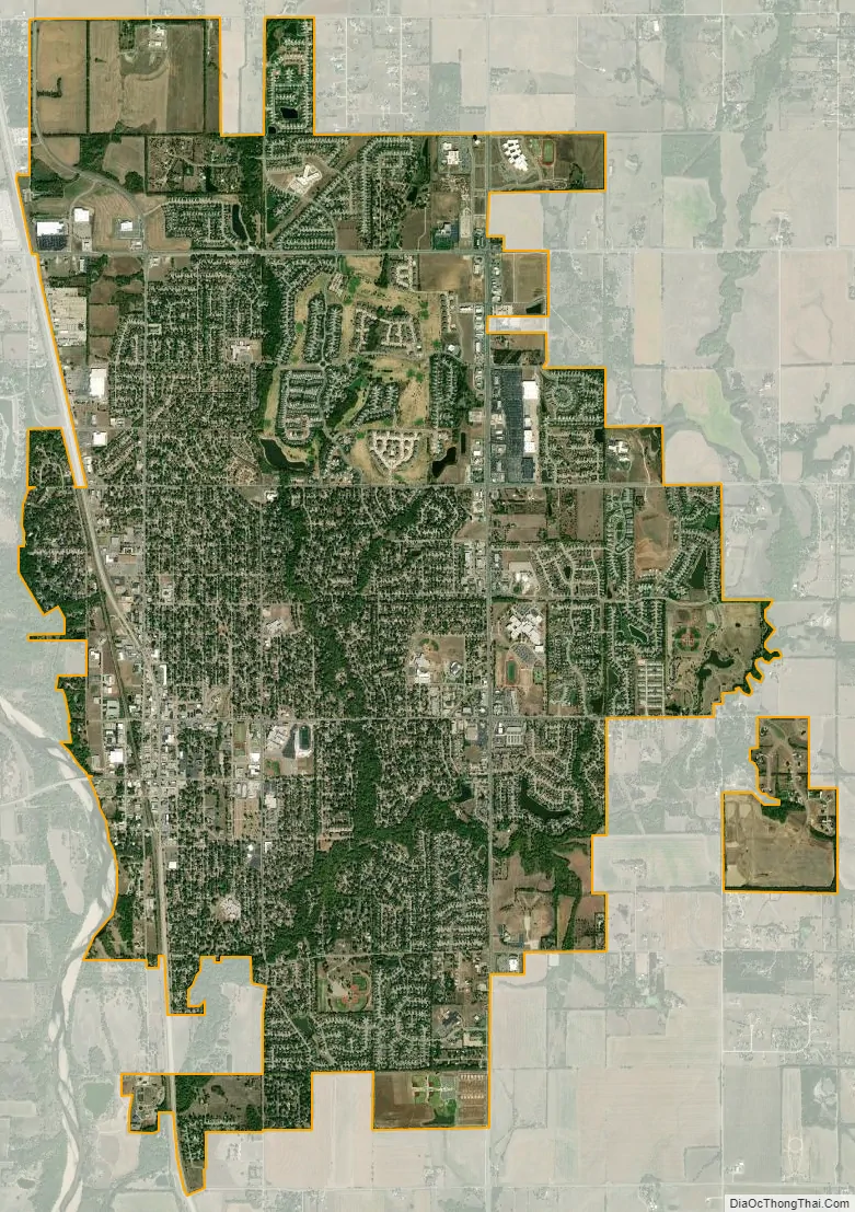
Derby city Satellite Map
Geography
Derby is located at 37°33′9″N 97°15′41″W / 37.55250°N 97.26139°W / 37.55250; -97.26139 (37.552407, -97.261492). According to the United States Census Bureau, the city has a total area of 9.60 square miles (24.86 km), of which 9.56 square miles (24.76 km) is land and 0.04 square miles (0.10 km) is water.
Climate
The climate in this area is characterized by hot, humid summers and generally mild to cool winters. According to the Köppen Climate Classification system, Derby has a humid subtropical climate, abbreviated “Cfa” on climate maps.
See also
Map of Kansas State and its subdivision:- Allen
- Anderson
- Atchison
- Barber
- Barton
- Bourbon
- Brown
- Butler
- Chase
- Chautauqua
- Cherokee
- Cheyenne
- Clark
- Clay
- Cloud
- Coffey
- Comanche
- Cowley
- Crawford
- Decatur
- Dickinson
- Doniphan
- Douglas
- Edwards
- Elk
- Ellis
- Ellsworth
- Finney
- Ford
- Franklin
- Geary
- Gove
- Graham
- Grant
- Gray
- Greeley
- Greenwood
- Hamilton
- Harper
- Harvey
- Haskell
- Hodgeman
- Jackson
- Jefferson
- Jewell
- Johnson
- Kearny
- Kingman
- Kiowa
- Labette
- Lane
- Leavenworth
- Lincoln
- Linn
- Logan
- Lyon
- Marion
- Marshall
- McPherson
- Meade
- Miami
- Mitchell
- Montgomery
- Morris
- Morton
- Nemaha
- Neosho
- Ness
- Norton
- Osage
- Osborne
- Ottawa
- Pawnee
- Phillips
- Pottawatomie
- Pratt
- Rawlins
- Reno
- Republic
- Rice
- Riley
- Rooks
- Rush
- Russell
- Saline
- Scott
- Sedgwick
- Seward
- Shawnee
- Sheridan
- Sherman
- Smith
- Stafford
- Stanton
- Stevens
- Sumner
- Thomas
- Trego
- Wabaunsee
- Wallace
- Washington
- Wichita
- Wilson
- Woodson
- Wyandotte
- Alabama
- Alaska
- Arizona
- Arkansas
- California
- Colorado
- Connecticut
- Delaware
- District of Columbia
- Florida
- Georgia
- Hawaii
- Idaho
- Illinois
- Indiana
- Iowa
- Kansas
- Kentucky
- Louisiana
- Maine
- Maryland
- Massachusetts
- Michigan
- Minnesota
- Mississippi
- Missouri
- Montana
- Nebraska
- Nevada
- New Hampshire
- New Jersey
- New Mexico
- New York
- North Carolina
- North Dakota
- Ohio
- Oklahoma
- Oregon
- Pennsylvania
- Rhode Island
- South Carolina
- South Dakota
- Tennessee
- Texas
- Utah
- Vermont
- Virginia
- Washington
- West Virginia
- Wisconsin
- Wyoming