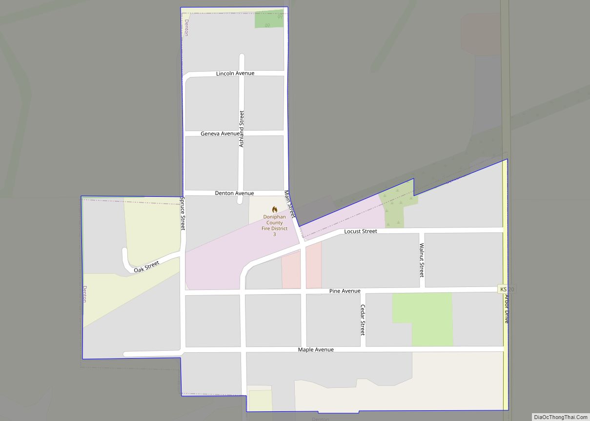
Denton is a city in Doniphan County, Kansas, United States. As of the 2020 census, the population of the city was 130. Denton city overview: Name: Denton city LSAD Code: 25 LSAD Description: city (suffix) State: Kansas County: Doniphan County Founded: 1886 Incorporated: 1896 Elevation: 1,076 ft (328 m) Total Area: 0.14 sq mi (0.38 km²) Land Area: 0.14 sq mi (0.38 km²) ... Read more
Map of US Cities and Places
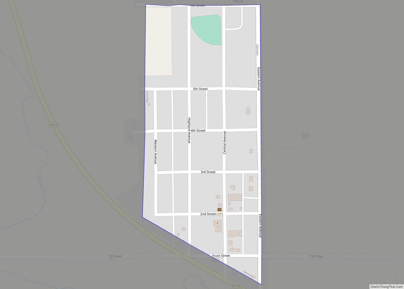
Denison is a city in Jackson County, Kansas, United States. As of the 2020 census, the population of the city was 146. Denison city overview: Name: Denison city LSAD Code: 25 LSAD Description: city (suffix) State: Kansas County: Jackson County Founded: 1887 Incorporated: 1904 Elevation: 1,043 ft (318 m) Total Area: 0.11 sq mi (0.29 km²) Land Area: 0.11 sq mi (0.29 km²) ... Read more
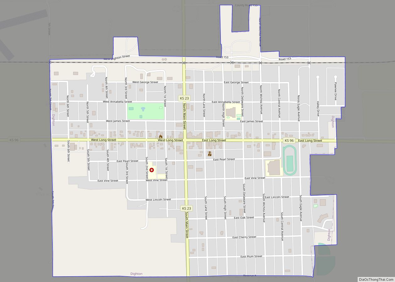
Dighton is a city in and the county seat of Lane County, Kansas, United States. As of the 2020 census, the population of the city was 960. Dighton is named for Dick Dighton, a surveyor. Dighton city overview: Name: Dighton city LSAD Code: 25 LSAD Description: city (suffix) State: Kansas County: Lane County Founded: 1879 ... Read more
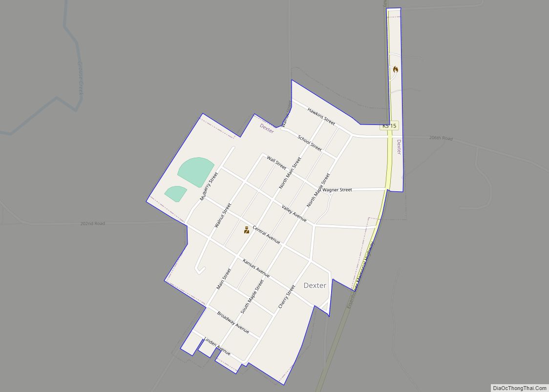
Dexter is a city in Cowley County, Kansas, United States. As of the 2020 census, the population of the city was 224. Dexter city overview: Name: Dexter city LSAD Code: 25 LSAD Description: city (suffix) State: Kansas County: Cowley County Founded: 1870 Incorporated: 1884 Elevation: 1,207 ft (368 m) Total Area: 0.28 sq mi (0.72 km²) Land Area: 0.28 sq mi (0.72 km²) ... Read more
Detroit is an unincorporated community in Dickinson County, Kansas, United States. As of the 2020 census, the population of the city was 102. Detroit CDP overview: Name: Detroit CDP LSAD Code: 57 LSAD Description: CDP (suffix) State: Kansas County: Dickinson County Elevation: 1,139 ft (347 m) Total Area: 0.34 sq mi (0.89 km²) Land Area: 0.34 sq mi (0.89 km²) Water Area: 0.0 sq mi ... Read more
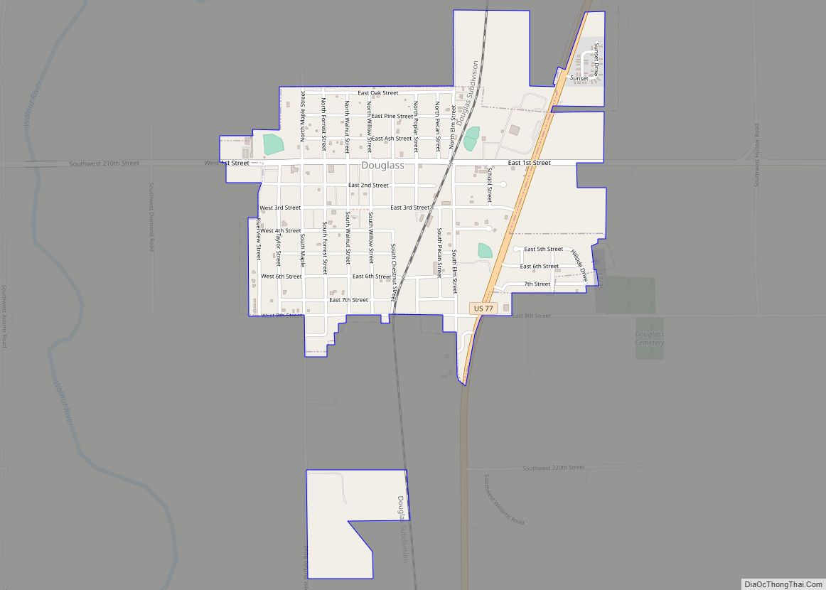
Douglass is a city in Butler County, Kansas, United States. As of the 2020 census, the population of the city was 1,555. Douglass city overview: Name: Douglass city LSAD Code: 25 LSAD Description: city (suffix) State: Kansas County: Butler County Founded: 1869 Incorporated: 1879 Elevation: 1,211 ft (369 m) Total Area: 1.06 sq mi (2.75 km²) Land Area: 1.06 sq mi (2.75 km²) ... Read more
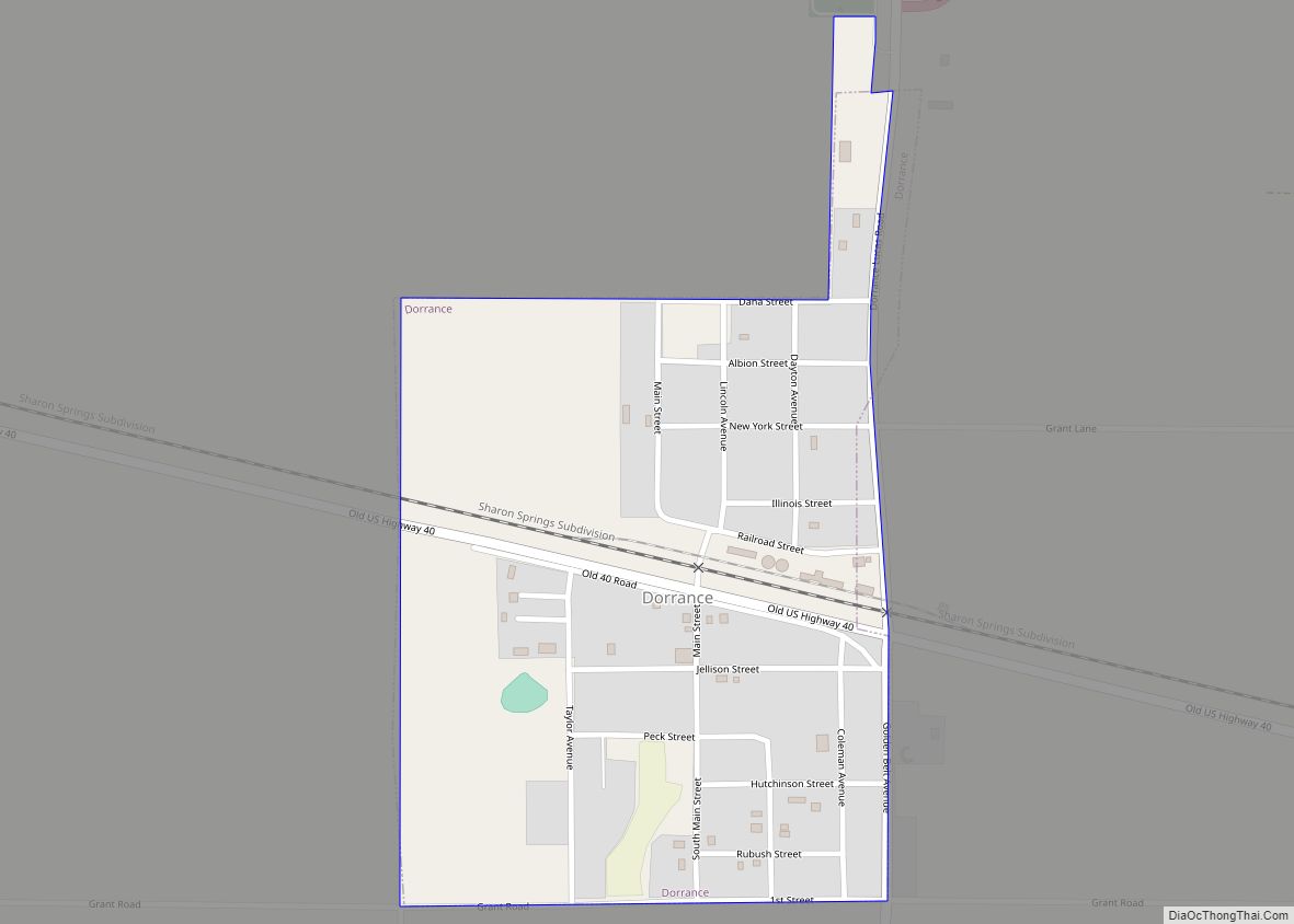
Dorrance is a city in Russell County, Kansas, United States. As of the 2020 census, the population of the city was 146. Dorrance city overview: Name: Dorrance city LSAD Code: 25 LSAD Description: city (suffix) State: Kansas County: Russell County Founded: 1860s Incorporated: 1910 Elevation: 1,732 ft (528 m) Total Area: 0.34 sq mi (0.88 km²) Land Area: 0.34 sq mi (0.88 km²) ... Read more
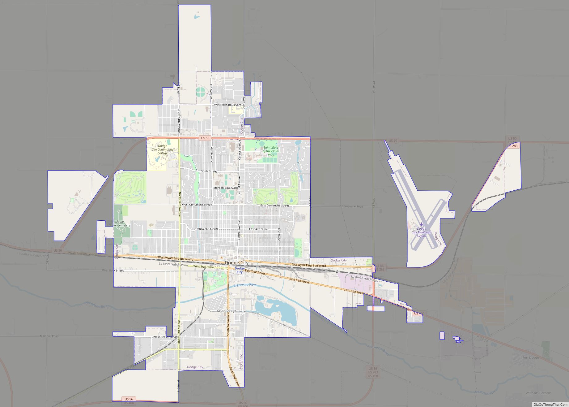
Dodge City is the county seat of Ford County, Kansas, United States, named after nearby Fort Dodge. As of the 2020 census, the population of the city was 27,788. The city is known in American culture for its history as a wild frontier town of the Old West. Dodge City city overview: Name: Dodge City ... Read more
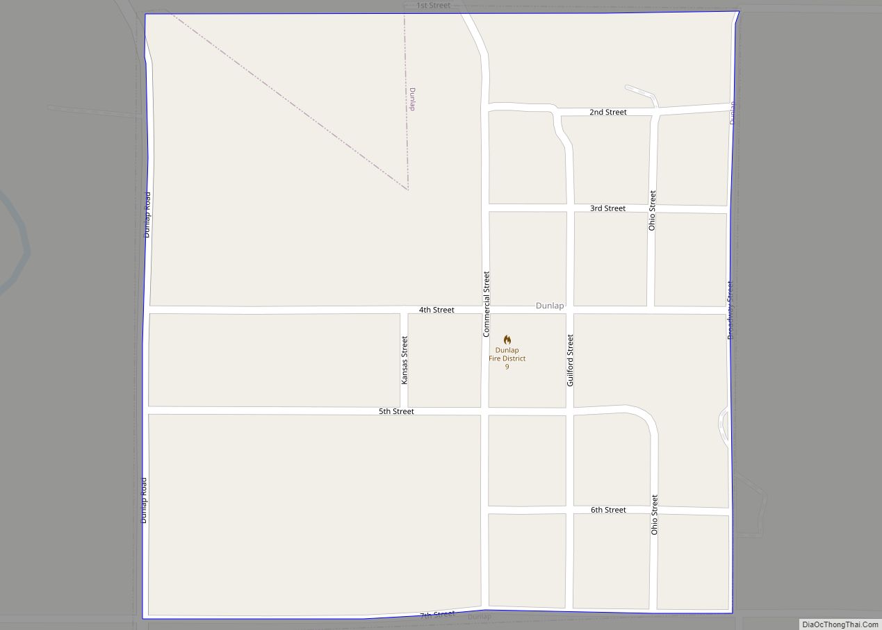
Dunlap is a city in Morris County, Kansas, United States. As of the 2020 census, the population of the city was 27. Dunlap city overview: Name: Dunlap city LSAD Code: 25 LSAD Description: city (suffix) State: Kansas County: Morris County Founded: 1870s Incorporated: 1887 Elevation: 1,188 ft (362 m) Total Area: 0.25 sq mi (0.64 km²) Land Area: 0.25 sq mi (0.64 km²) ... Read more
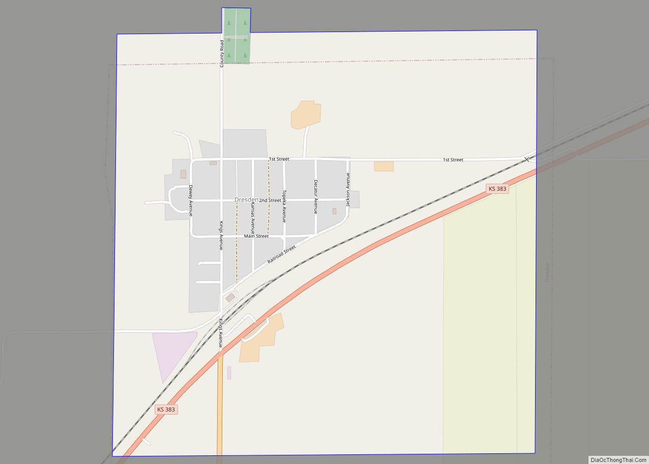
Dresden is a city in Decatur County, Kansas, United States. As of the 2020 census, the population of the city was 43. Dresden city overview: Name: Dresden city LSAD Code: 25 LSAD Description: city (suffix) State: Kansas County: Decatur County Founded: 1888 Incorporated: 1920 Elevation: 2,733 ft (833 m) Total Area: 0.90 sq mi (2.34 km²) Land Area: 0.90 sq mi (2.34 km²) ... Read more
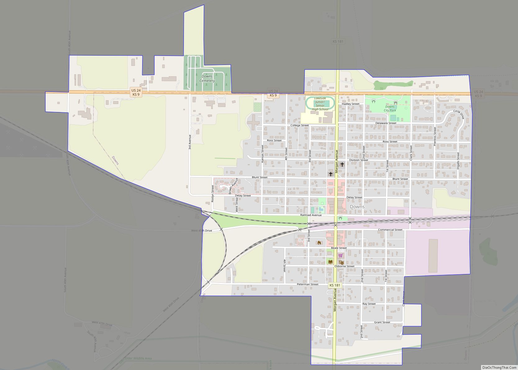
Downs is a city in Osborne County, Kansas, United States. As of the 2020 census, the population of the city was 800. Downs city overview: Name: Downs city LSAD Code: 25 LSAD Description: city (suffix) State: Kansas County: Osborne County Founded: 1879 Incorporated: 1879 Elevation: 1,483 ft (452 m) Total Area: 1.12 sq mi (2.90 km²) Land Area: 1.12 sq mi (2.90 km²) ... Read more
Durham is a city in Marion County, Kansas, United States. As of the 2020 census, the population of the city was 89. The city took its name from Durham cattle. It is located about 8.5 miles north of Hillsboro on the west side of K-15 highway next to a railroad. Durham city overview: Name: Durham ... Read more
