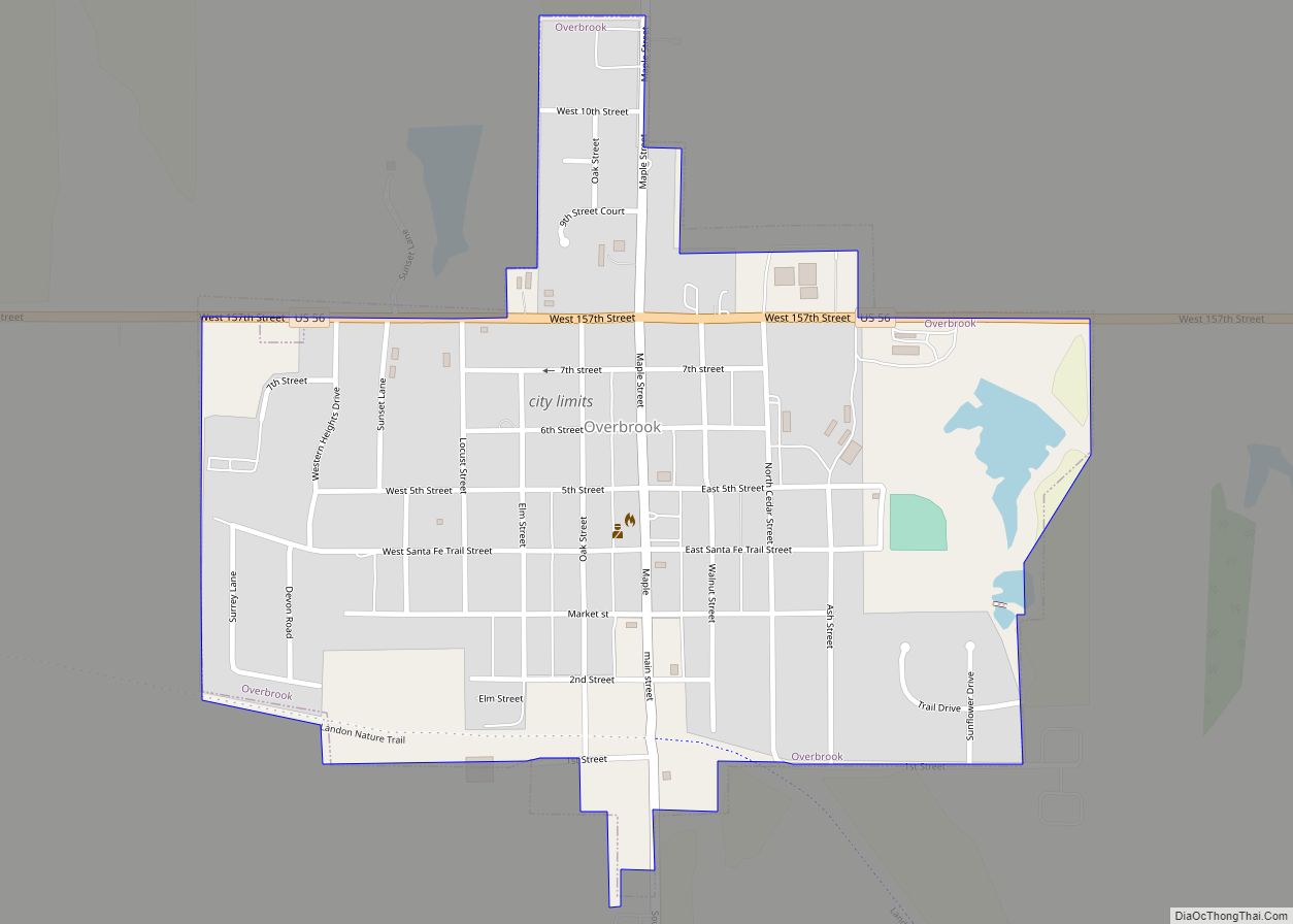
Overbrook is a city in Osage County, Kansas, United States. As of the 2020 census, the population of the city was 1,005. Overbrook city overview: Name: Overbrook city LSAD Code: 25 LSAD Description: city (suffix) State: Kansas County: Osage County Founded: 1888 Incorporated: 1948 Elevation: 1,204 ft (367 m) Total Area: 0.54 sq mi (1.41 km²) Land Area: 0.54 sq mi (1.41 km²) ... Read more
Map of US Cities and Places
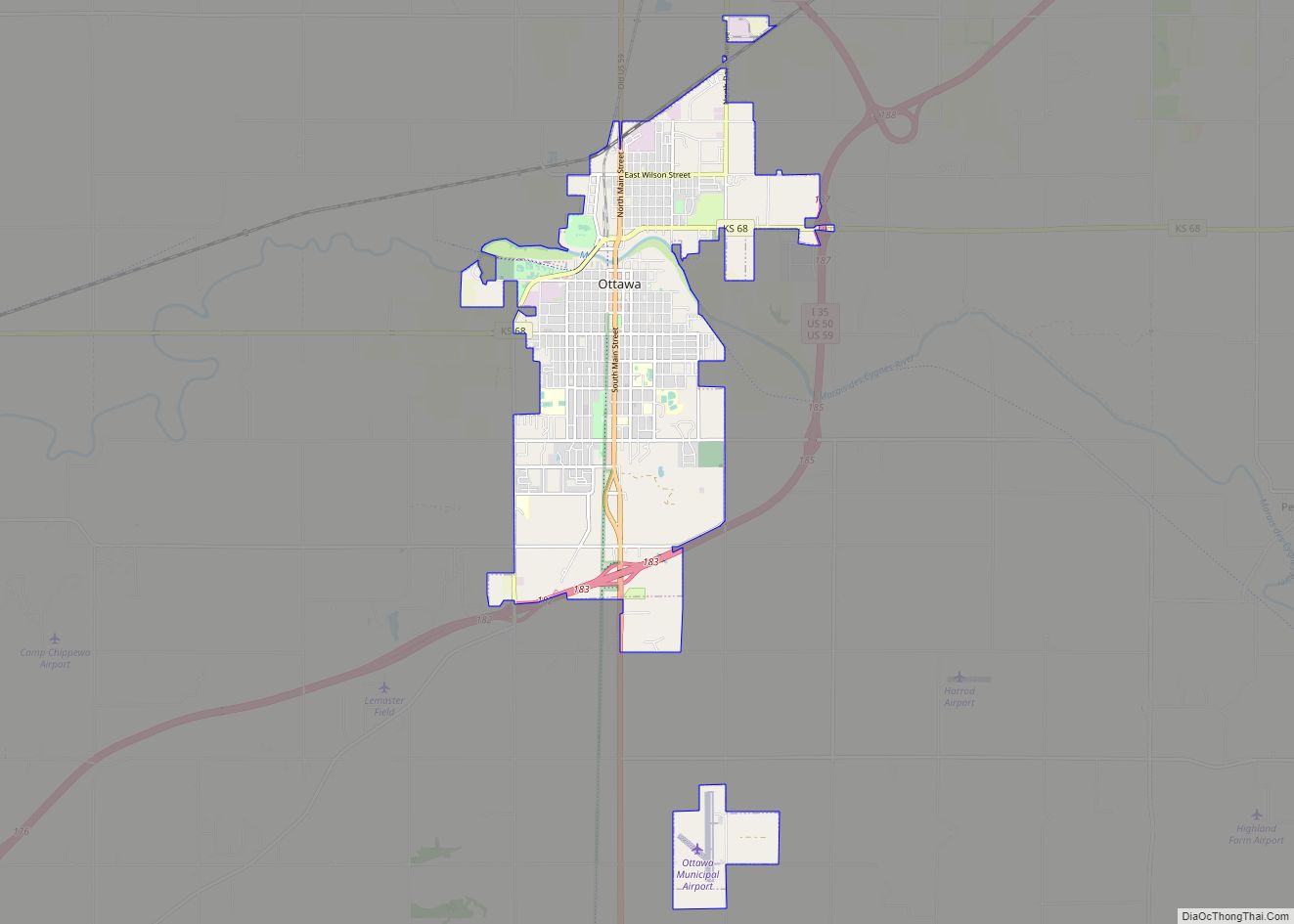
Ottawa (pronounced /ˈɒtəwɑː/) is a city in, and the county seat of, Franklin County, Kansas, United States. It is located on both banks of the Marais des Cygnes River near the center of Franklin County. As of the 2020 census, the population of the city was 12,625. It is the home of Ottawa University. Ottawa ... Read more
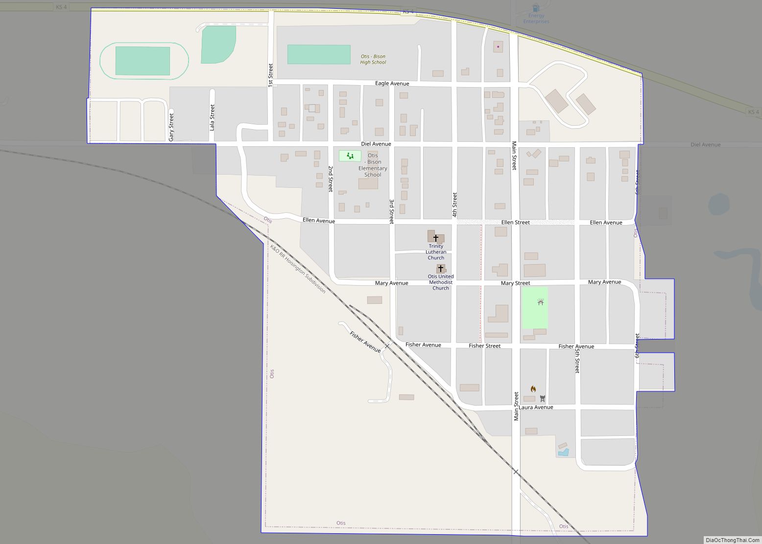
Otis is a city in Rush County, Kansas, United States. As of the 2020 census, the population of the city was 296. Otis city overview: Name: Otis city LSAD Code: 25 LSAD Description: city (suffix) State: Kansas County: Rush County Founded: 1886 Incorporated: 1911 Elevation: 2,038 ft (621 m) Total Area: 0.31 sq mi (0.81 km²) Land Area: 0.31 sq mi (0.81 km²) ... Read more
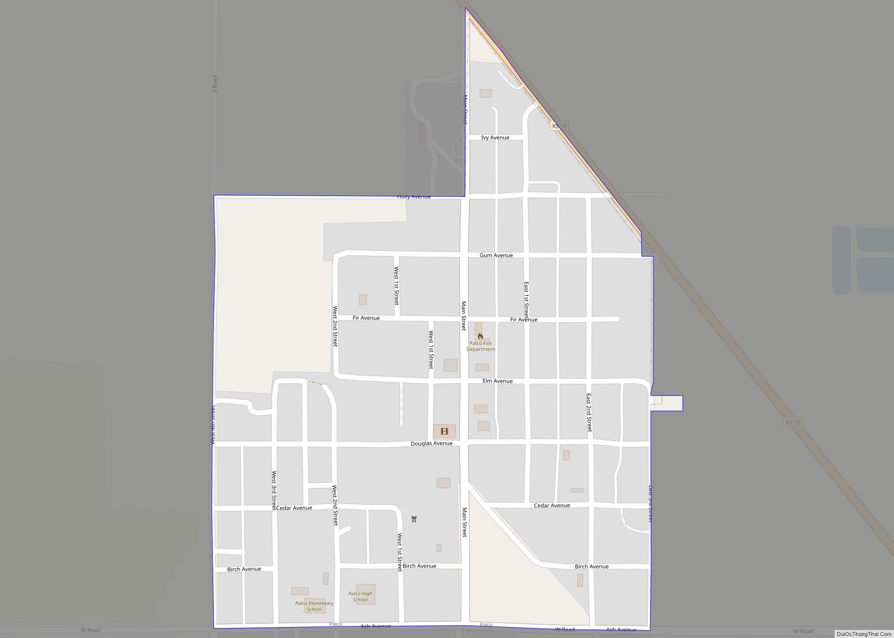
Palco is a city in Rooks County, Kansas, United States. As of the 2020 census, the population of the city was 208. Palco city overview: Name: Palco city LSAD Code: 25 LSAD Description: city (suffix) State: Kansas County: Rooks County Founded: 1888 Incorporated: 1903 Elevation: 2,280 ft (690 m) Total Area: 0.27 sq mi (0.69 km²) Land Area: 0.27 sq mi (0.69 km²) ... Read more
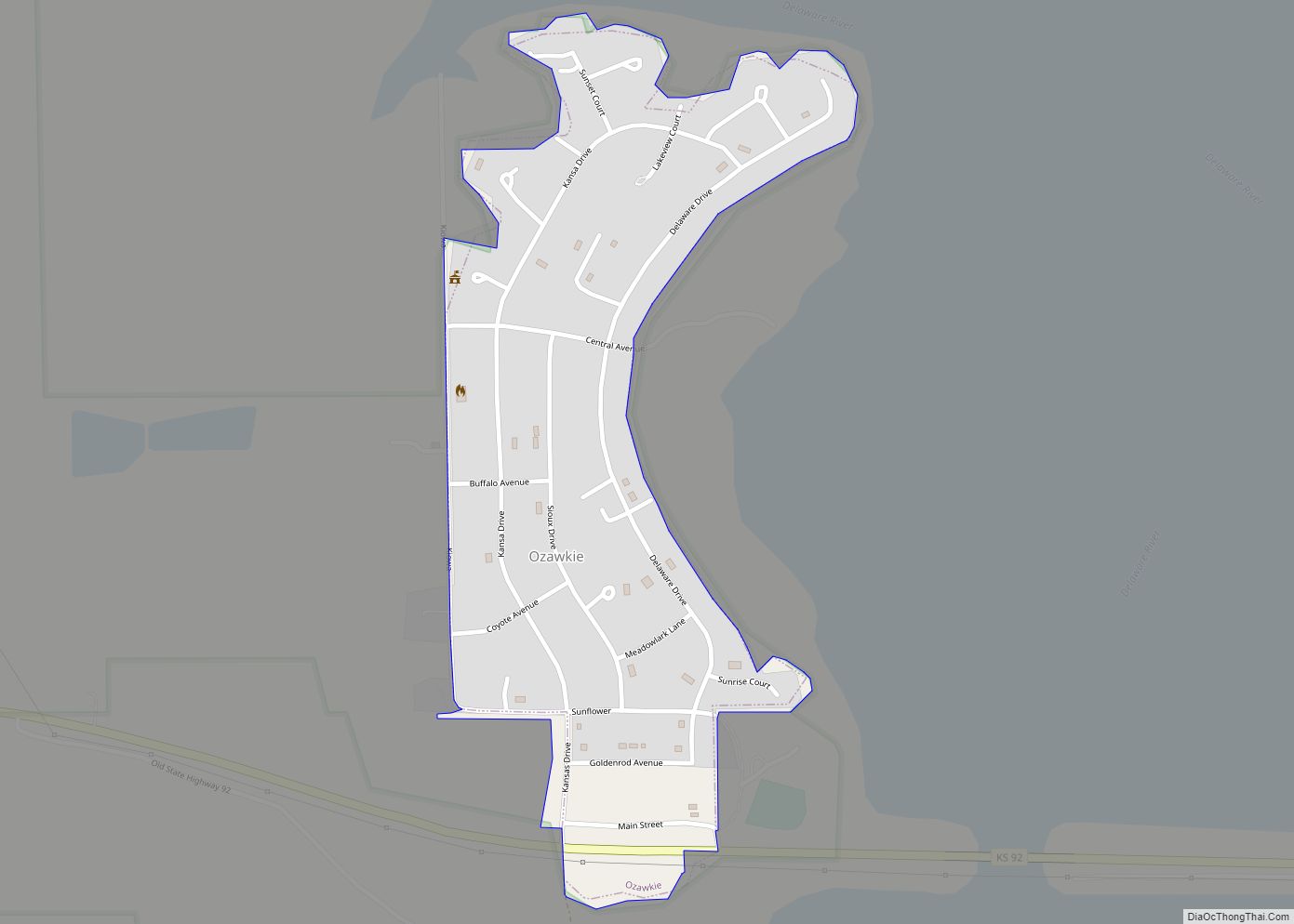
Ozawkie is a city in Jefferson County, Kansas, United States. As of the 2020 census, the population of the city was 638. Located adjacent to Perry Lake, Ozawkie formerly existed in a different location but was relocated without the aid of government funding prior to the reservoir’s construction. Ozawkie city overview: Name: Ozawkie city LSAD ... Read more
Oxford is a city in Sumner County, Kansas, United States. As of the 2020 census, the population of the city was 1,048. Oxford city overview: Name: Oxford city LSAD Code: 25 LSAD Description: city (suffix) State: Kansas County: Sumner County Founded: 1871 Incorporated: 1879 Elevation: 1,191 ft (363 m) Total Area: 0.91 sq mi (2.35 km²) Land Area: 0.91 sq mi (2.35 km²) ... Read more
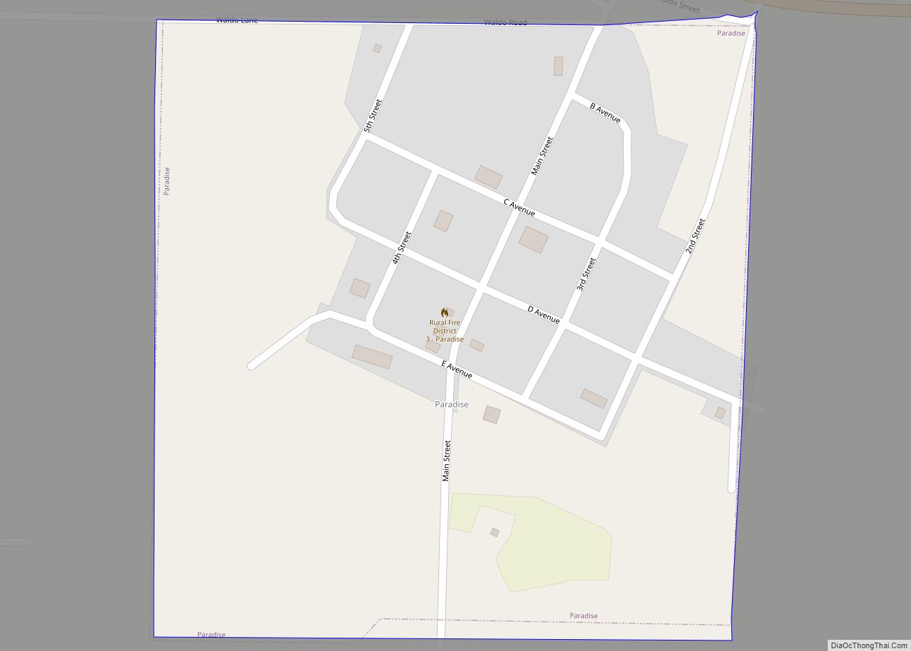
Paradise is a city in Russell County, Kansas, United States. As of the 2020 census, the population of the city was 35. Paradise city overview: Name: Paradise city LSAD Code: 25 LSAD Description: city (suffix) State: Kansas County: Russell County Founded: 1887 Incorporated: 1924 Elevation: 1,693 ft (516 m) Total Area: 0.25 sq mi (0.64 km²) Land Area: 0.25 sq mi (0.64 km²) ... Read more
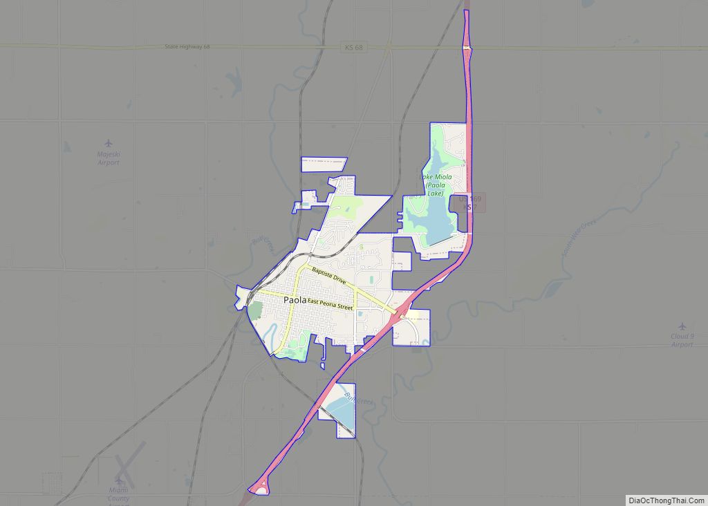
Paola /peɪˈoʊlə/ is a city in and the county seat of Miami County, Kansas, United States. As of the 2020 census, the population of the city was 5,768. Paola city overview: Name: Paola city LSAD Code: 25 LSAD Description: city (suffix) State: Kansas County: Miami County Incorporated: 1855 Elevation: 906 ft (276 m) Total Area: 5.53 sq mi (14.33 km²) ... Read more
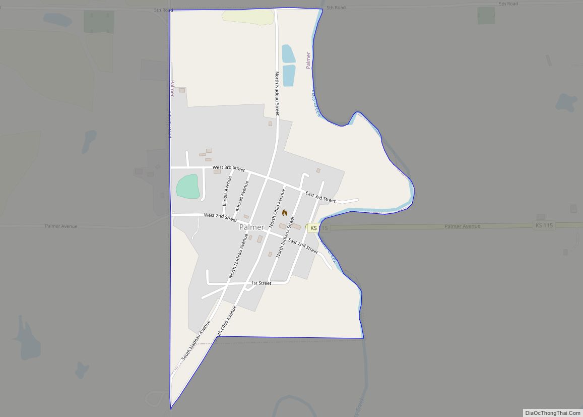
Palmer is a city in Washington County, Kansas, United States. As of the 2020 census, the population of the city was 125. Palmer city overview: Name: Palmer city LSAD Code: 25 LSAD Description: city (suffix) State: Kansas County: Washington County Founded: 1878 Incorporated: 1911 Elevation: 1,329 ft (405 m) Total Area: 0.31 sq mi (0.81 km²) Land Area: 0.31 sq mi (0.80 km²) ... Read more
Park is a city in Gove County, Kansas, United States. As of the 2020 census, the population of the city was 112. Park city overview: Name: Park city LSAD Code: 25 LSAD Description: city (suffix) State: Kansas County: Gove County Founded: 1870s Incorporated: 1950 Elevation: 2,746 ft (837 m) Total Area: 0.32 sq mi (0.82 km²) Land Area: 0.32 sq mi (0.82 km²) ... Read more
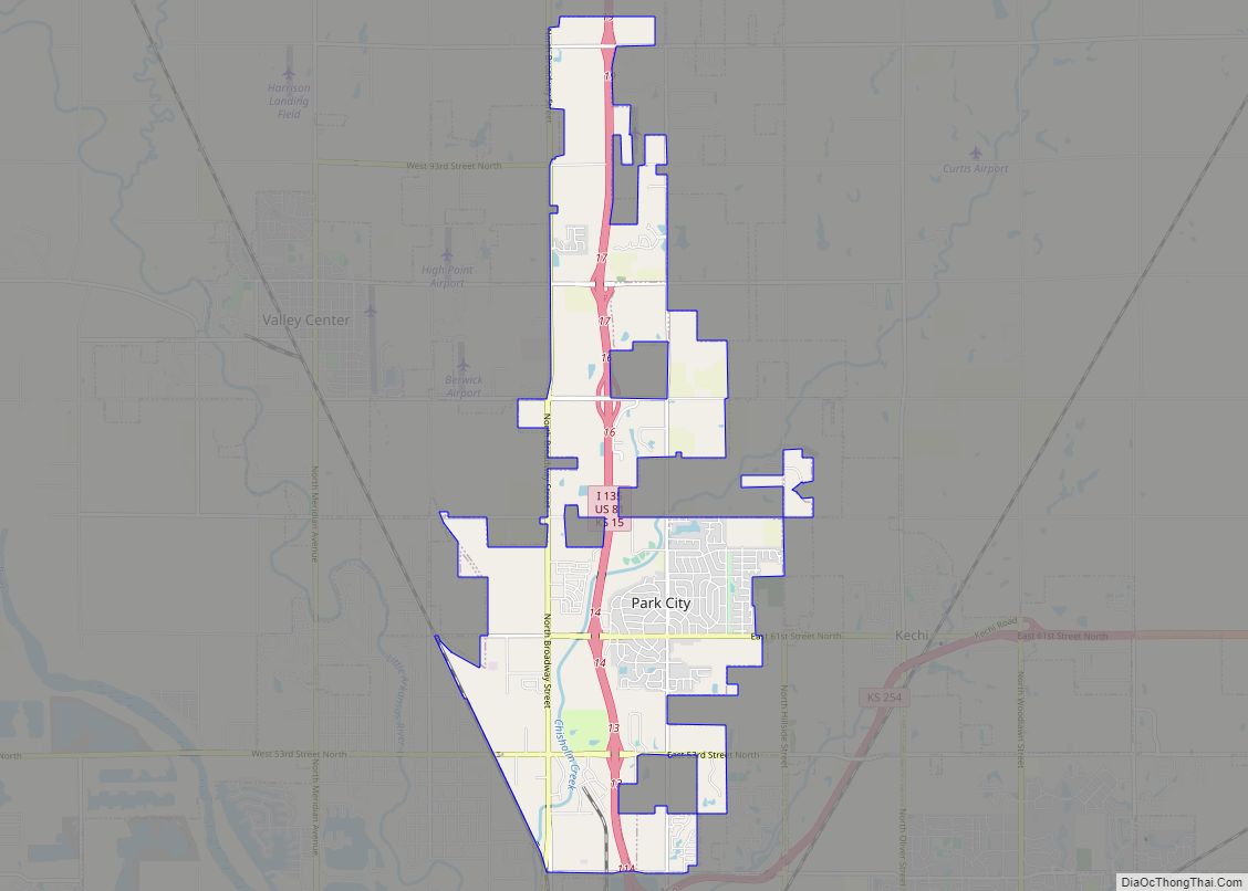
Park City is a city in Sedgwick County, Kansas, United States and a suburb of Wichita. As of the 2020 census, the population of the city was 8,333. Park City city overview: Name: Park City city LSAD Code: 25 LSAD Description: city (suffix) State: Kansas County: Sedgwick County Founded: 1953 Incorporated: 1980 Elevation: 1,365 ft (416 m) ... Read more
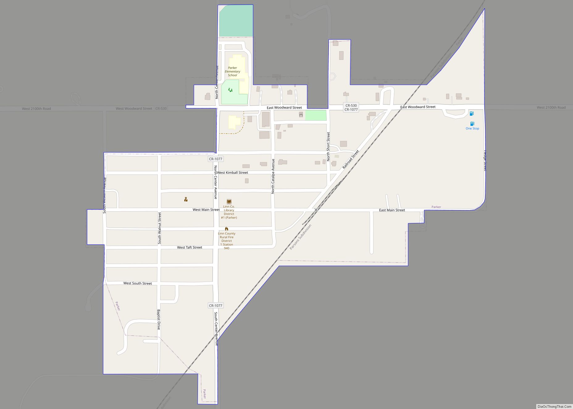
Parker is a city in Linn County, Kansas, United States. As of the 2020 census, the population of the city was 241. Parker city overview: Name: Parker city LSAD Code: 25 LSAD Description: city (suffix) State: Kansas County: Linn County Founded: 1880s Incorporated: 1897 Elevation: 1,007 ft (307 m) Total Area: 0.28 sq mi (0.73 km²) Land Area: 0.28 sq mi (0.73 km²) ... Read more
