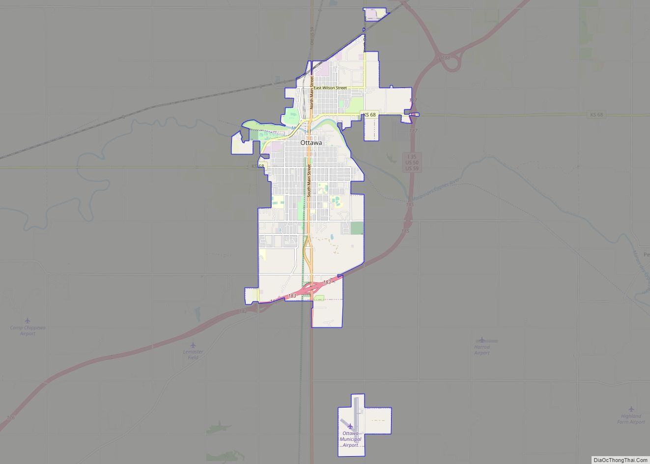
Ottawa (pronounced /ˈɒtəwɑː/) is a city in, and the county seat of, Franklin County, Kansas, United States. It is located on both banks of the Marais des Cygnes River near the center of Franklin County. As of the 2020 census, the population of the city was 12,625. It is the home of Ottawa University.
| Name: | Ottawa city |
|---|---|
| LSAD Code: | 25 |
| LSAD Description: | city (suffix) |
| State: | Kansas |
| County: | Franklin County |
| Founded: | 1865 |
| Incorporated: | 1866 |
| Elevation: | 902 ft (275 m) |
| Total Area: | 10.40 sq mi (26.94 km²) |
| Land Area: | 10.31 sq mi (26.72 km²) |
| Water Area: | 0.09 sq mi (0.23 km²) 1.06% |
| Total Population: | 12,625 |
| Population Density: | 1,200/sq mi (470/km²) |
| ZIP code: | 66067 |
| Area code: | 785 |
| FIPS code: | 2053550 |
| Website: | ottawaks.gov |
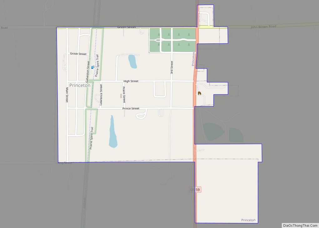
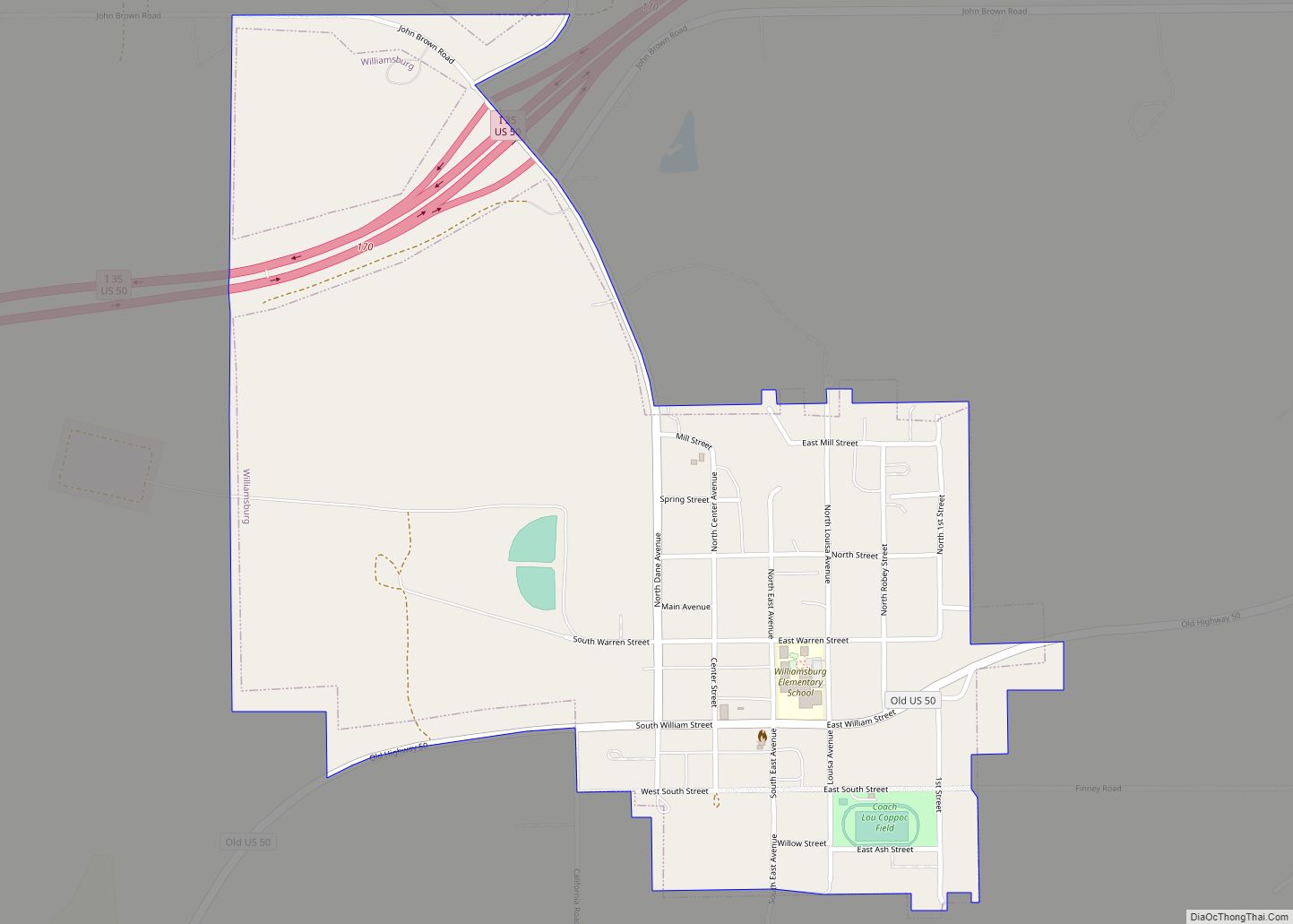
Online Interactive Map
Click on ![]() to view map in "full screen" mode.
to view map in "full screen" mode.
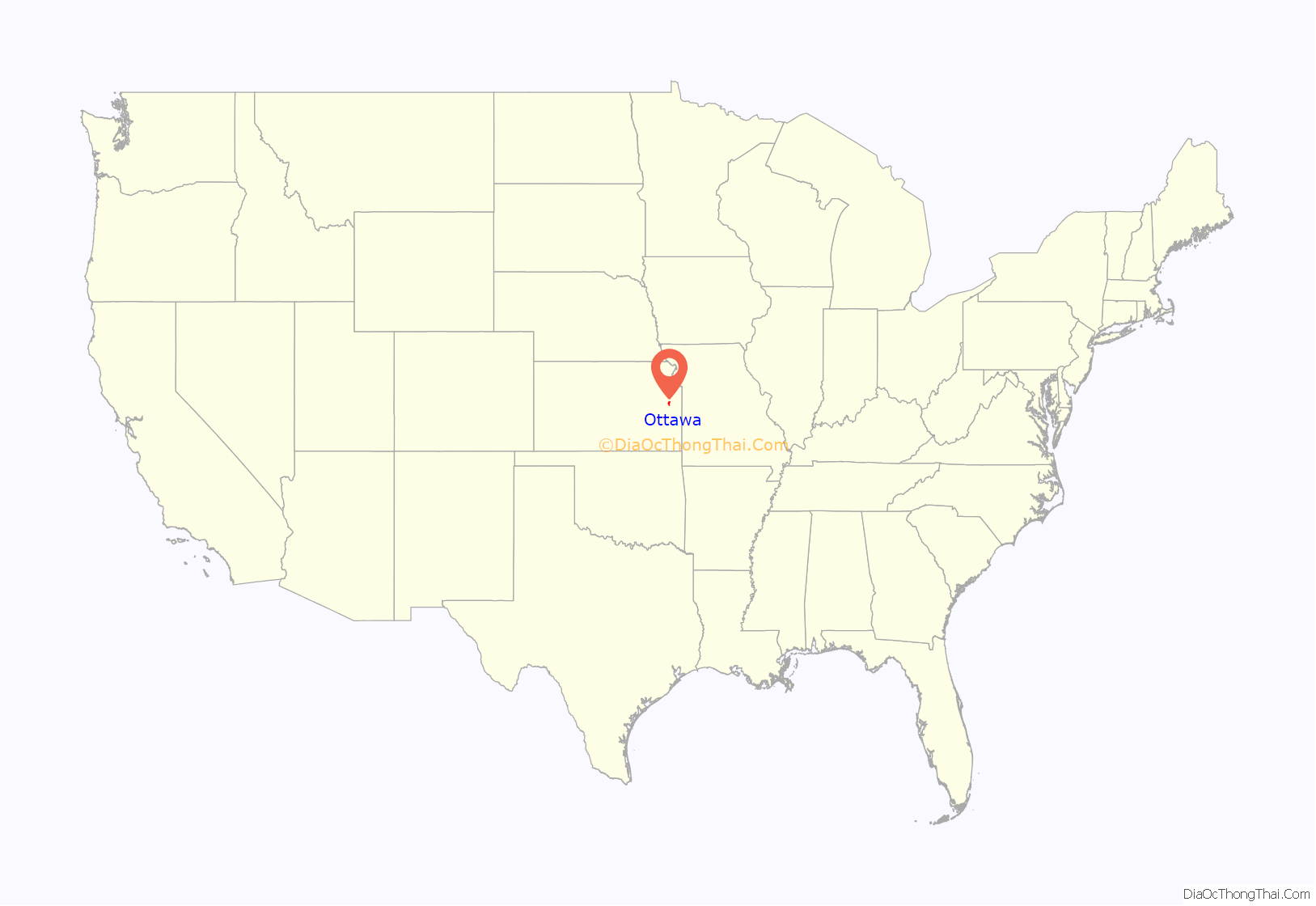
Ottawa location map. Where is Ottawa city?
History
19th century
The name derives from the Ottawa tribe of Native Americans, on whose reservation the city was laid out. In the spring of 1864, title to the land was obtained from the tribe through treaty connected to the founding of Ottawa University, the Ottawa having donated 20,000 acres of land to establish and fund a school for the education of Indians and non-Indians alike. The word Ottawa itself means “to trade”. In 1867, the Ottawa tribe sold their remaining land in Kansas and moved to Indian Territory in Oklahoma.
On the last day of March, 1864, J.C. Richmond built the first non-Indian settlement in the new town, at the corner of Walnut and First streets.
Flooding
Ottawa has a history of flooding because of its location straddling the Marais Des Cygnes river. The area’s first recorded flood was the Great Flood of 1844. In 1928, a flood crested at 38.65 feet and killed six people. Other flood years include 1904, when water crested at 36 feet and ran to a man’s shoulders in the Santa Fe depot; 1909, cresting at 36.3 feet (11.1 m); 1915, cresting at 31 feet (9.4 m), and 1944, cresting at 36.5 feet (11.1 m).
However, it is the Great Flood of 1951 which is the most famous. It was about five inches higher than the 1928 flood. The flood of 1951 affected much of Missouri and Kansas and 41 people died. One-third of Ottawa was covered because of this flood.
It is unlikely Ottawa will suffer major damage due to a flood again thanks to a series of levees and pumping stations built by the U.S. Army Corps of Engineers in the 1960s, which is part of a larger system of flood systems to regulate the Marais Des Cygnes River to the Missouri River. The levees built along the river are inspected on an annual basis to insure their quality.
20th century
In 1943, German and Italian prisoners of World War II were brought to Kansas and other Midwest states to help solve the labor shortage caused by American men serving in the war. Large internment camps were established in Kansas: Camp Concordia, Camp Funston (at Fort Riley), Camp Phillips (at Salina under Fort Riley). Fort Riley established 12 smaller branch camps, including Ottawa.
Ottawa Road Map
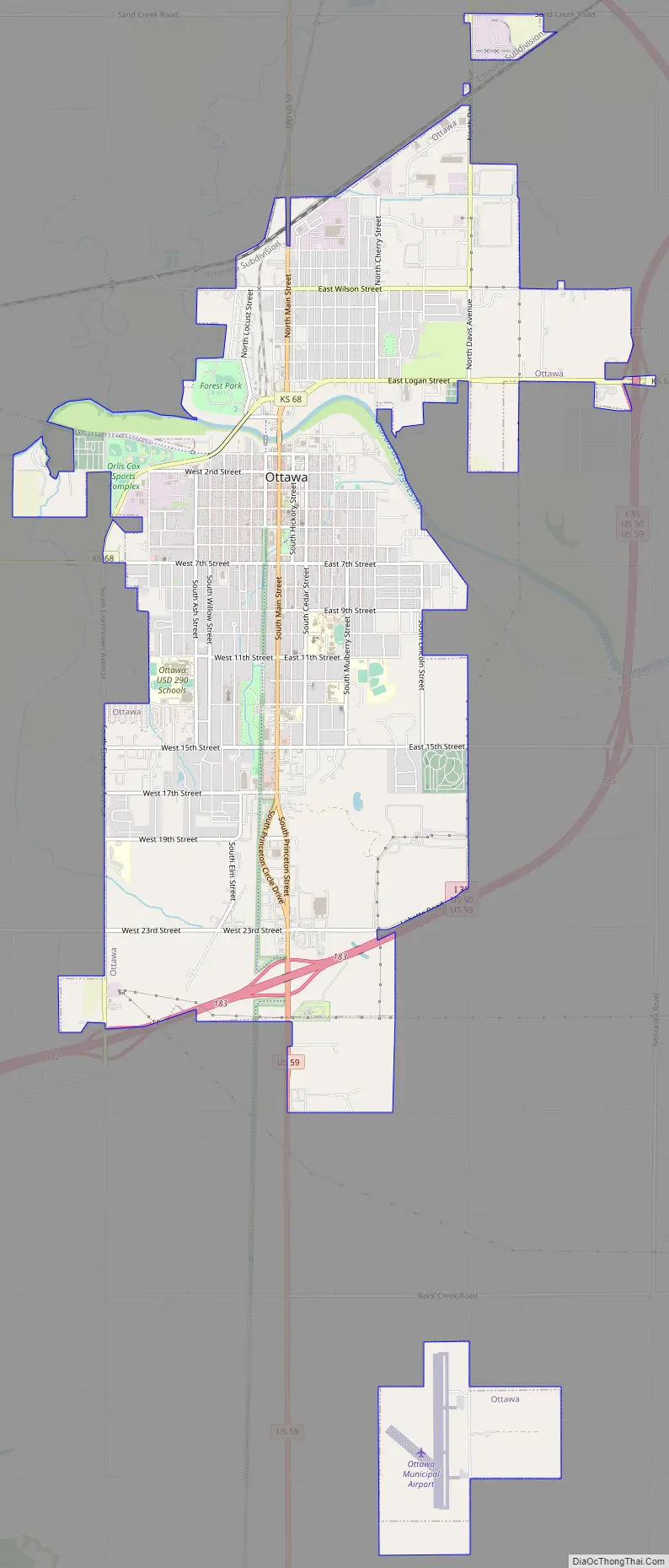
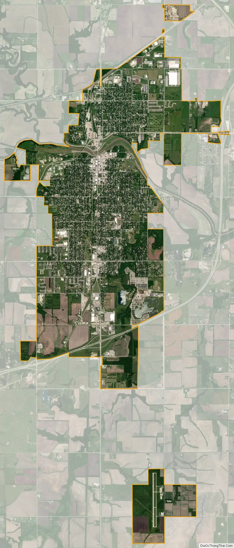
Ottawa city Satellite Map
Geography
Ottawa straddles the Marais des Cygnes River and is located 58 miles (93 km) southwest of Kansas City at the junction of U.S. Route 59 and K-68. U.S. Route 50 and Interstate 35 bypass Ottawa to the south and east, while business US-50 passes through the city.
According to the United States Census Bureau, the city has a total area of 9.42 square miles (24.40 km), of which 9.32 square miles (24.14 km) is land and 0.10 square miles (0.26 km) is water.
See also
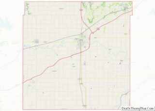
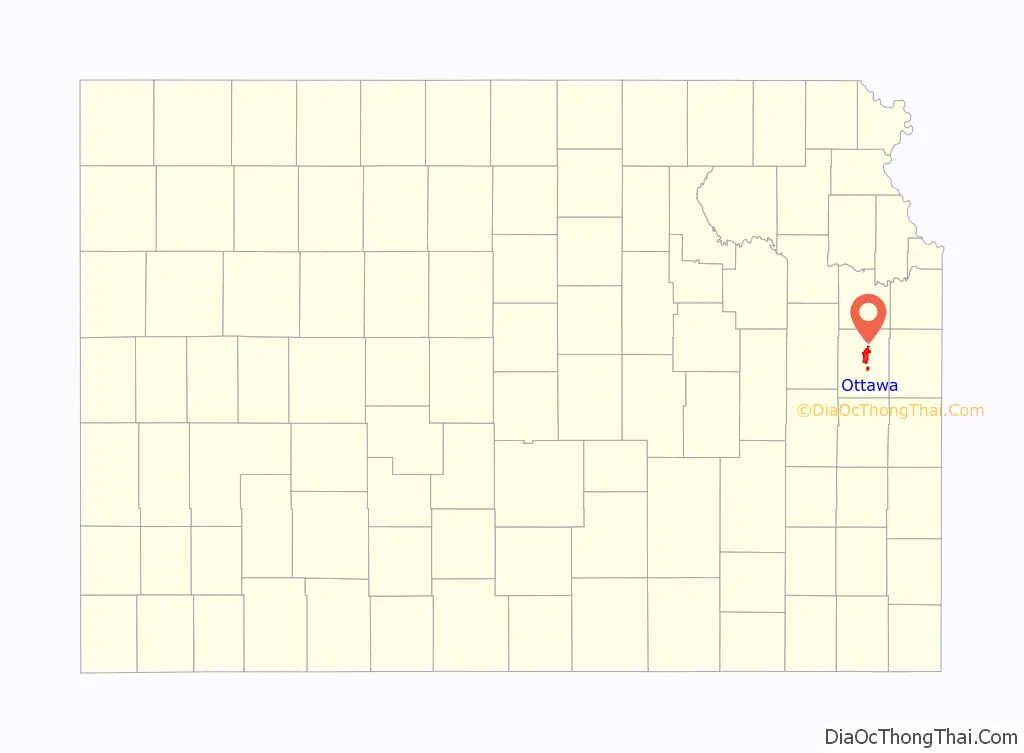
Map of Kansas State and its subdivision:- Allen
- Anderson
- Atchison
- Barber
- Barton
- Bourbon
- Brown
- Butler
- Chase
- Chautauqua
- Cherokee
- Cheyenne
- Clark
- Clay
- Cloud
- Coffey
- Comanche
- Cowley
- Crawford
- Decatur
- Dickinson
- Doniphan
- Douglas
- Edwards
- Elk
- Ellis
- Ellsworth
- Finney
- Ford
- Franklin
- Geary
- Gove
- Graham
- Grant
- Gray
- Greeley
- Greenwood
- Hamilton
- Harper
- Harvey
- Haskell
- Hodgeman
- Jackson
- Jefferson
- Jewell
- Johnson
- Kearny
- Kingman
- Kiowa
- Labette
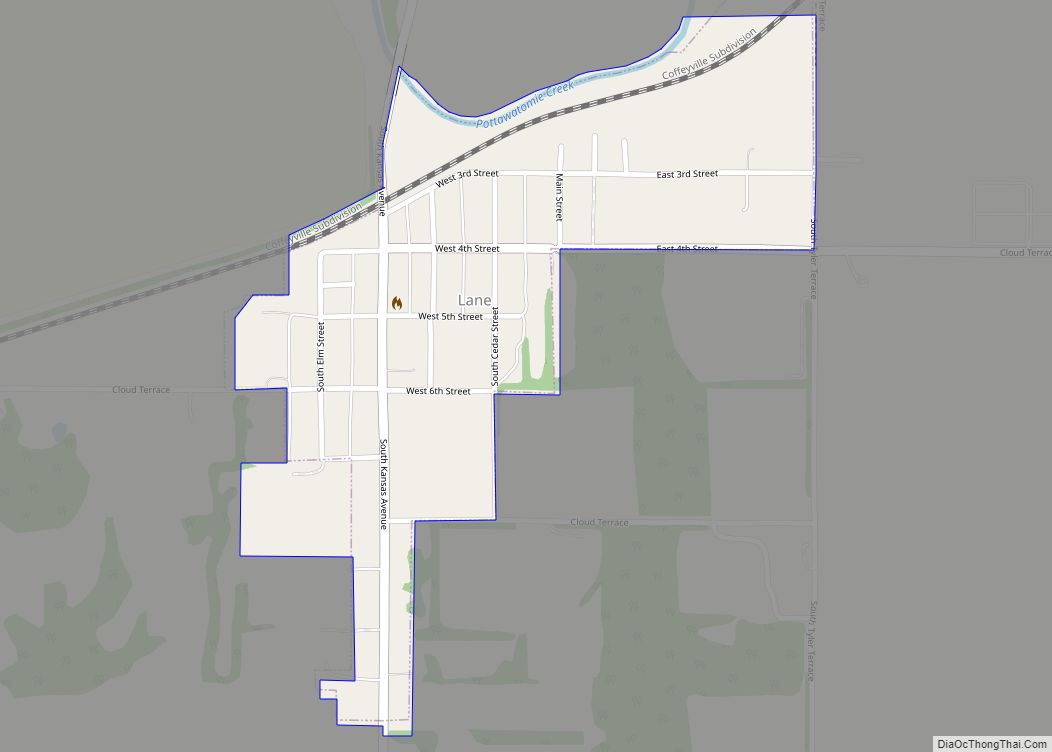
- Lane
- Leavenworth
- Lincoln
- Linn
- Logan
- Lyon
- Marion
- Marshall
- McPherson
- Meade
- Miami
- Mitchell
- Montgomery
- Morris
- Morton
- Nemaha
- Neosho
- Ness
- Norton
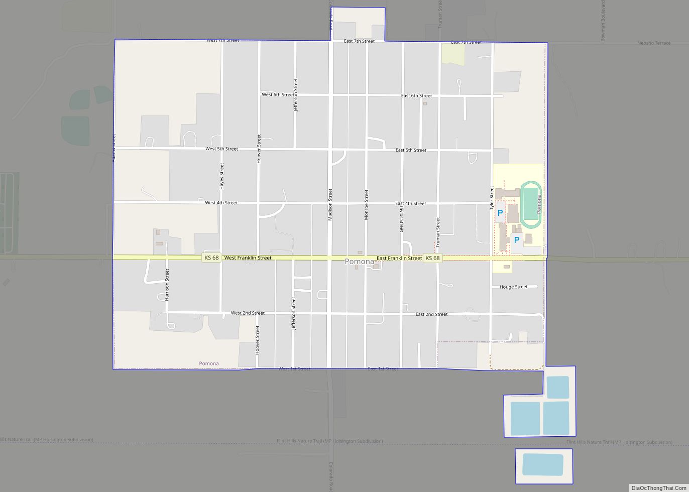
- Osage
- Osborne
- Ottawa
- Pawnee
- Phillips
- Pottawatomie
- Pratt
- Rawlins
- Reno
- Republic
- Rice
- Riley
- Rooks
- Rush
- Russell
- Saline
- Scott
- Sedgwick
- Seward
- Shawnee
- Sheridan
- Sherman
- Smith
- Stafford
- Stanton
- Stevens
- Sumner
- Thomas
- Trego
- Wabaunsee
- Wallace
- Washington
- Wichita
- Wilson
- Woodson
- Wyandotte
- Alabama
- Alaska
- Arizona
- Arkansas
- California
- Colorado
- Connecticut
- Delaware
- District of Columbia
- Florida
- Georgia
- Hawaii
- Idaho
- Illinois
- Indiana
- Iowa
- Kansas
- Kentucky
- Louisiana
- Maine
- Maryland
- Massachusetts
- Michigan
- Minnesota
- Mississippi
- Missouri
- Montana
- Nebraska
- Nevada
- New Hampshire
- New Jersey
- New Mexico
- New York
- North Carolina
- North Dakota
- Ohio
- Oklahoma
- Oregon
- Pennsylvania
- Rhode Island
- South Carolina
- South Dakota
- Tennessee
- Texas
- Utah
- Vermont
- Virginia
- Washington
- West Virginia
- Wisconsin
- Wyoming