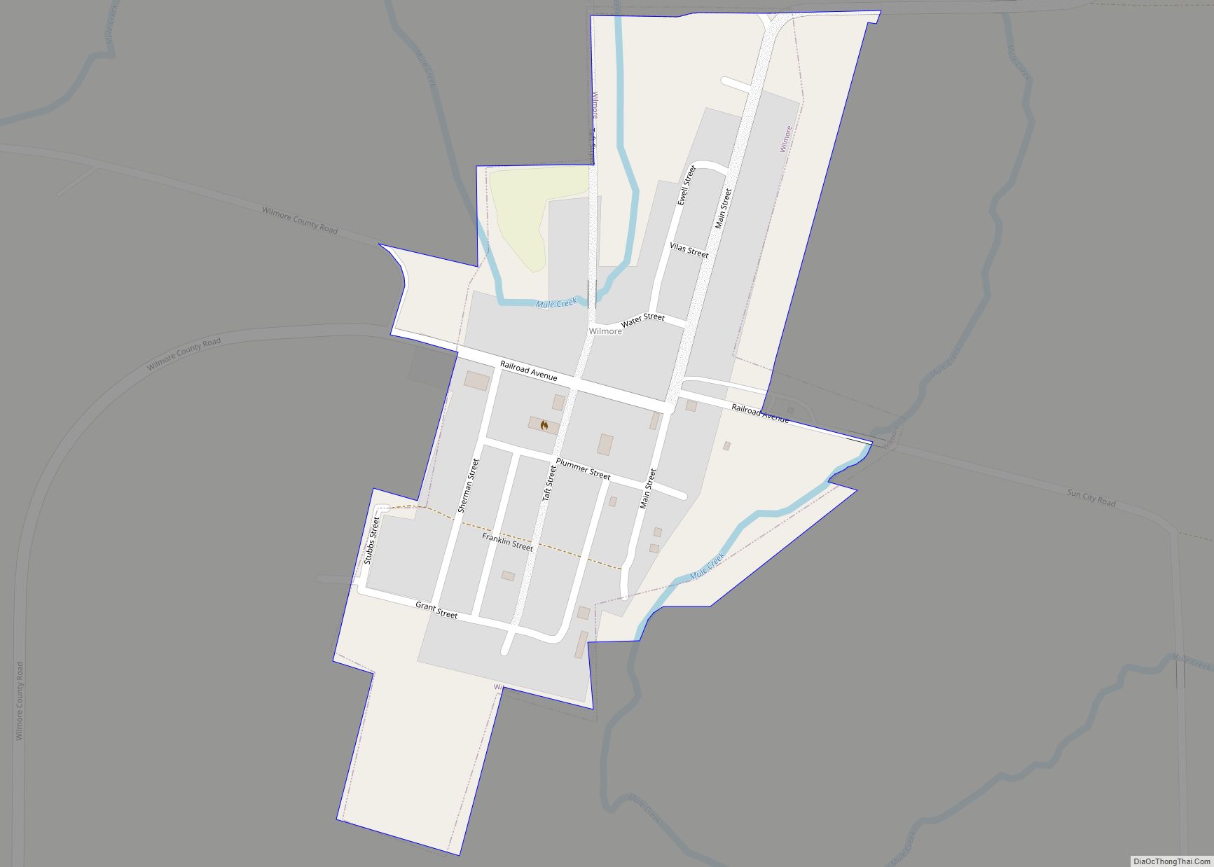
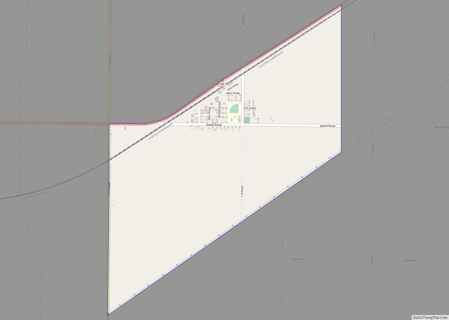
Wilmore is a city in Comanche County, Kansas, United States. As of the 2020 census, the population of the city was 37. Wilmore city overview: Name: Wilmore city LSAD Code: 25 LSAD Description: city (suffix) State: Kansas County: Comanche County Founded: 1887 Incorporated: 1920 Elevation: 2,021 ft (616 m) Total Area: 0.18 sq mi (0.46 km²) Land Area: 0.18 sq mi (0.46 km²) ... Read more
Map of US Cities and Places
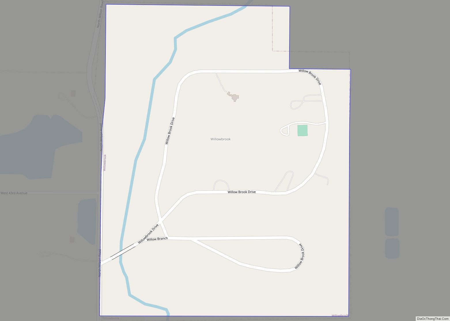
Willowbrook is a city in Reno County, Kansas, United States. As of the 2020 census, the population of the city was 71. It is a northwest suburb of Hutchinson. Willowbrook city overview: Name: Willowbrook city LSAD Code: 25 LSAD Description: city (suffix) State: Kansas County: Reno County Founded: 1950s Incorporated: 1952 Elevation: 1,555 ft (474 m) Total ... Read more
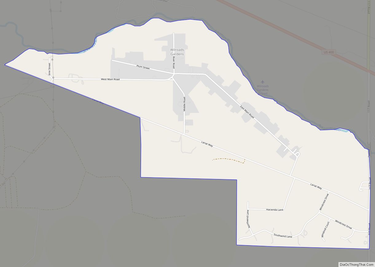
Wilroads Gardens is an unincorporated community in Ford County, Kansas, United States. As of the 2020 census, the population of the community and nearby areas was 639. Wilroads Gardens CDP overview: Name: Wilroads Gardens CDP LSAD Code: 57 LSAD Description: CDP (suffix) State: Kansas County: Ford County Elevation: 2,444 ft (745 m) Total Area: 2.253 sq mi (5.84 km²) Land ... Read more
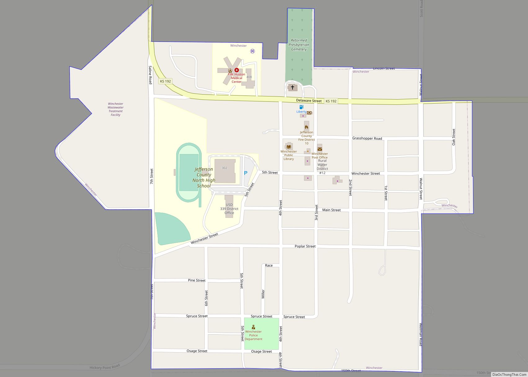
Winchester is a city in Jefferson County, Kansas, United States. As of the 2020 census, the population of the city was 461. Winchester city overview: Name: Winchester city LSAD Code: 25 LSAD Description: city (suffix) State: Kansas County: Jefferson County Incorporated: 1903 Elevation: 1,171 ft (357 m) Total Area: 0.36 sq mi (0.93 km²) Land Area: 0.35 sq mi (0.90 km²) Water Area: ... Read more
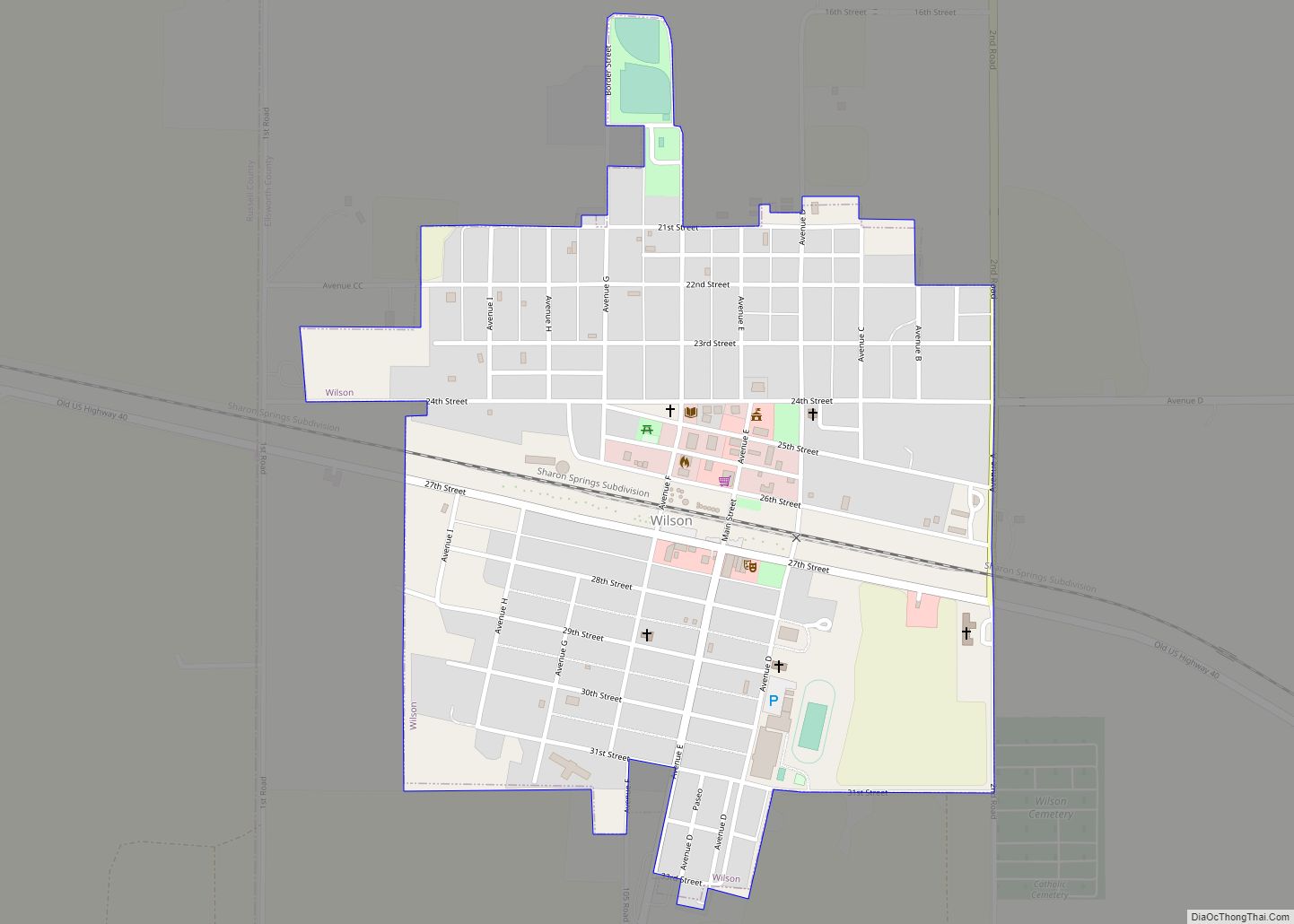
Wilson is a city in Ellsworth County, Kansas, United States. The community promotes itself as the “Czech Capital of Kansas” due to the role of Czech immigrant settlers in its early history. As of the 2020 census, the population of the city was 859. Wilson city overview: Name: Wilson city LSAD Code: 25 LSAD Description: ... Read more
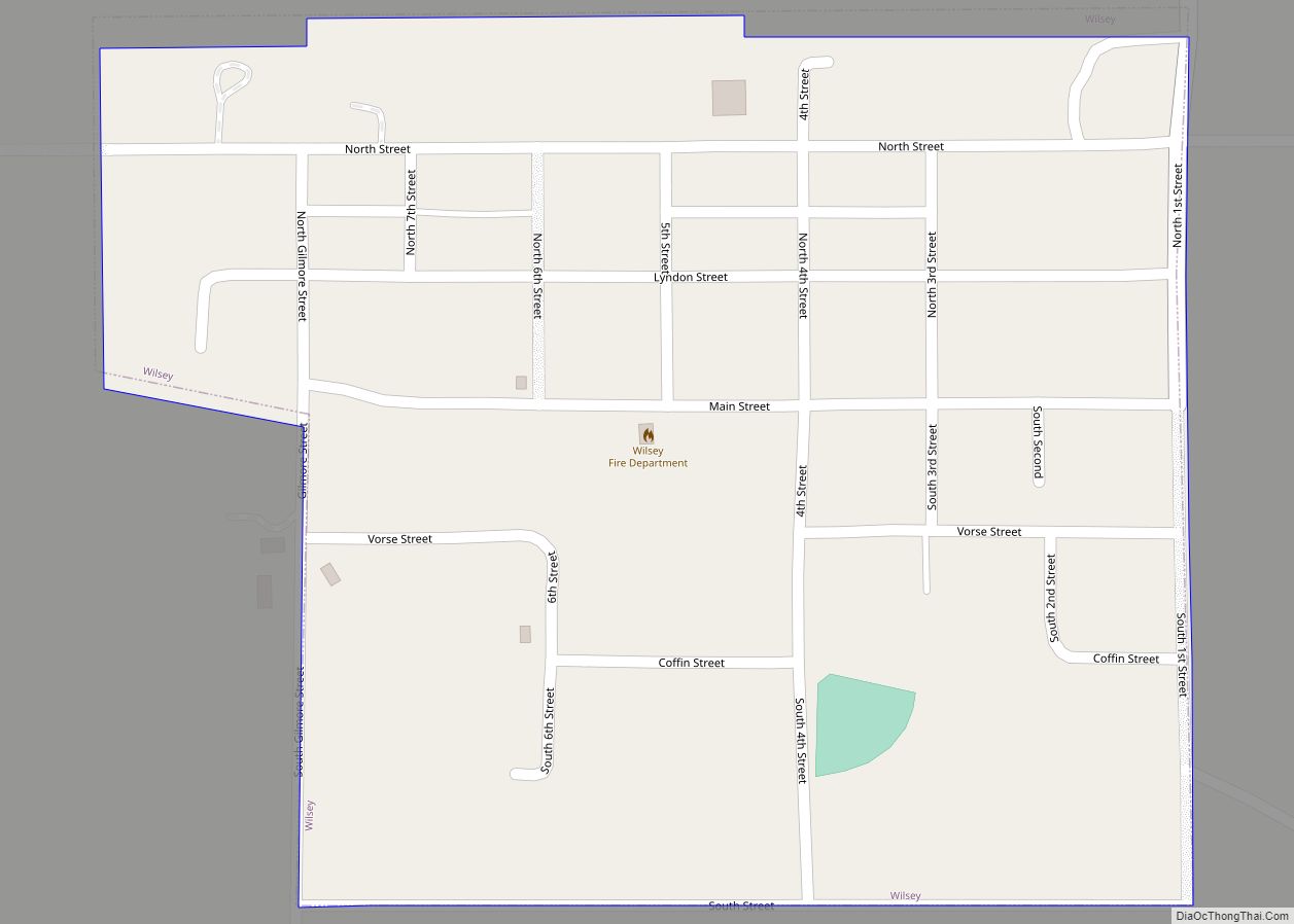
Wilsey is a city in Morris County, Kansas, United States. As of the 2020 census, the population of the city was 139. Wilsey city overview: Name: Wilsey city LSAD Code: 25 LSAD Description: city (suffix) State: Kansas County: Morris County Incorporated: 1910 Elevation: 1,506 ft (459 m) Total Area: 0.27 sq mi (0.70 km²) Land Area: 0.27 sq mi (0.70 km²) Water Area: ... Read more
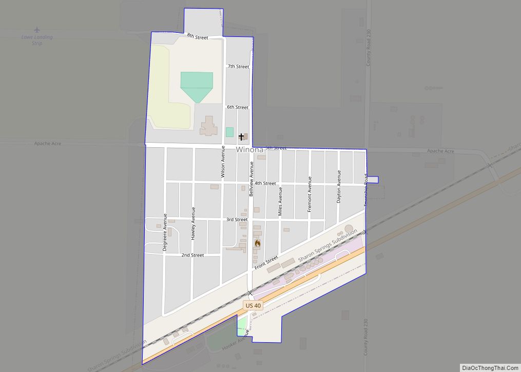
Winona is a city in Logan County, Kansas, United States. As of the 2020 census, the population of the city was 193. Winona city overview: Name: Winona city LSAD Code: 25 LSAD Description: city (suffix) State: Kansas County: Logan County Founded: 1884 (Gopher) Incorporated: 1920 Elevation: 3,327 ft (1,014 m) Total Area: 0.26 sq mi (0.67 km²) Land Area: 0.26 sq mi ... Read more
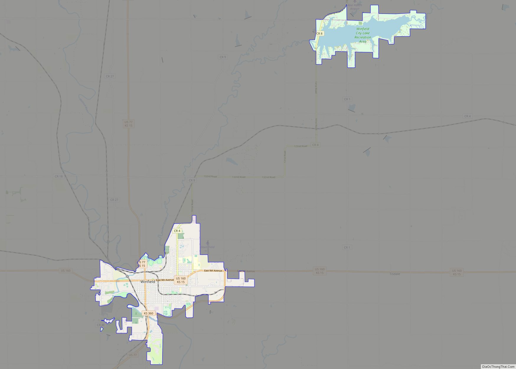
Winfield is a city and county seat of Cowley County, Kansas, United States. It is situated along the Walnut River in South Central Kansas. As of the 2020 census, the population of the city was 11,777. It is home to Southwestern College. Winfield city overview: Name: Winfield city LSAD Code: 25 LSAD Description: city (suffix) ... Read more
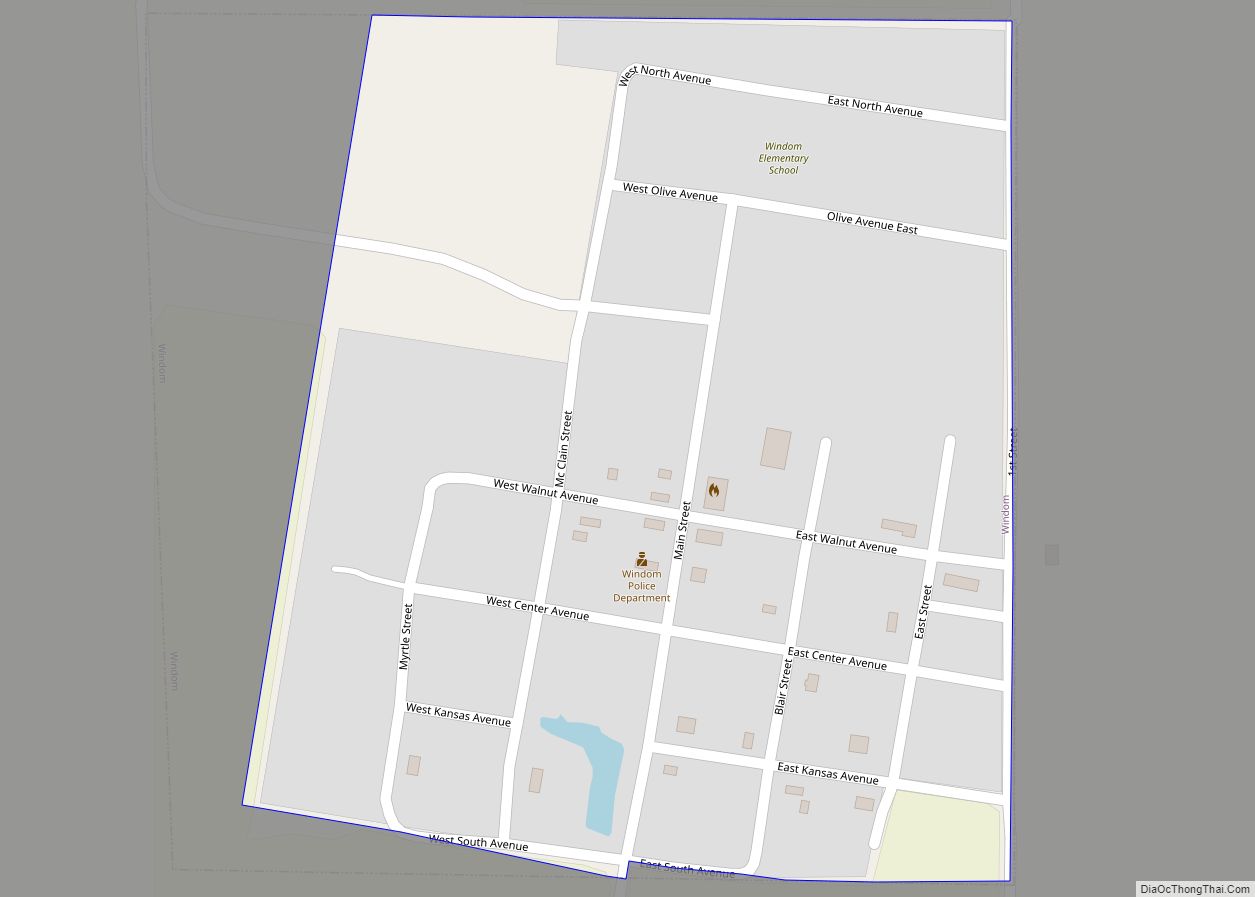
Windom is a city in McPherson County, Kansas, United States. As of the 2020 census, the population of the city was 85. Windom city overview: Name: Windom city LSAD Code: 25 LSAD Description: city (suffix) State: Kansas County: McPherson County Incorporated: 1885 Elevation: 1,647 ft (502 m) Total Area: 0.20 sq mi (0.52 km²) Land Area: 0.20 sq mi (0.52 km²) Water Area: ... Read more
Wright is an unincorporated community in Ford County, Kansas, United States. As of the 2020 census, the population of the community and nearby areas was 145. Wright CDP overview: Name: Wright CDP LSAD Code: 57 LSAD Description: CDP (suffix) State: Kansas County: Ford County Elevation: 2,530 ft (770 m) Total Area: 2.06 sq mi (5.33 km²) Land Area: 2.06 sq mi (5.33 km²) ... Read more
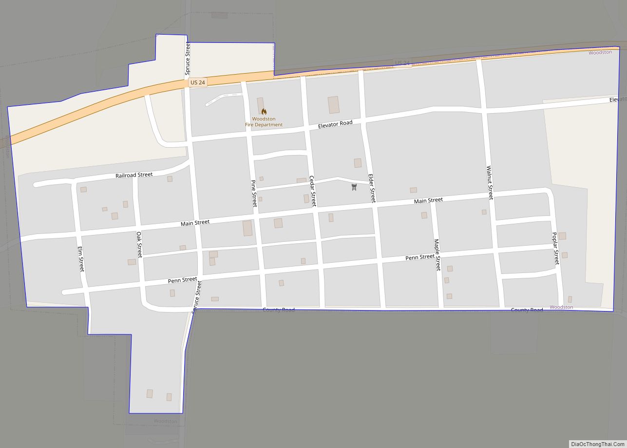
Woodston is a city in Rooks County, Kansas, United States. As of the 2020 census, the population of the city was 94. Woodston city overview: Name: Woodston city LSAD Code: 25 LSAD Description: city (suffix) State: Kansas County: Rooks County Founded: 1885 Incorporated: 1905 Elevation: 1,713 ft (522 m) Total Area: 0.21 sq mi (0.55 km²) Land Area: 0.21 sq mi (0.55 km²) ... Read more
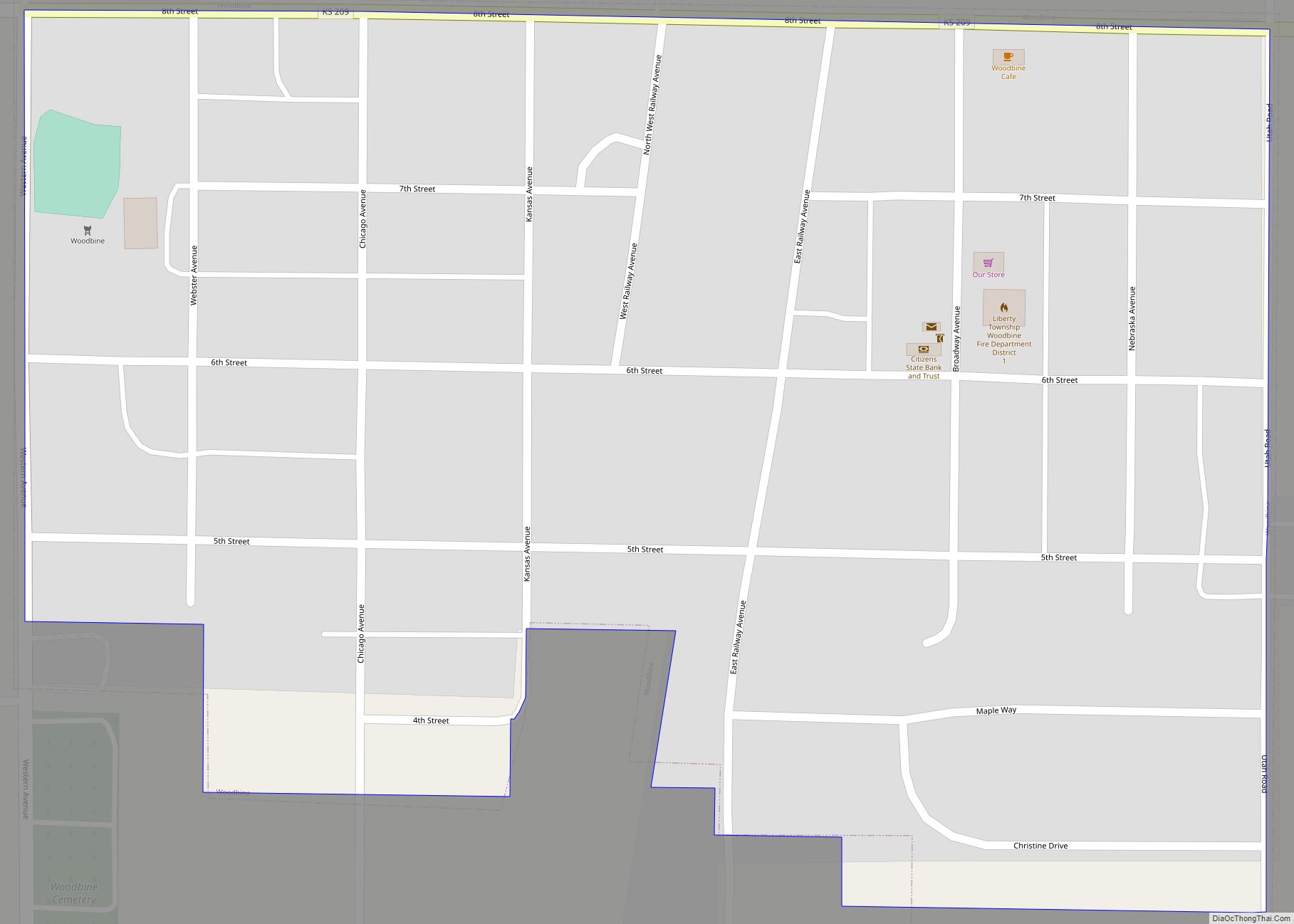
Woodbine is a city in Dickinson County, Kansas, United States. As of the 2020 census, the population of the city was 157. Woodbine city overview: Name: Woodbine city LSAD Code: 25 LSAD Description: city (suffix) State: Kansas County: Dickinson County Founded: 1871 Elevation: 1,250 ft (380 m) Total Area: 0.16 sq mi (0.41 km²) Land Area: 0.16 sq mi (0.41 km²) Water Area: ... Read more
