Pine Grove is a borough in Schuylkill County, Pennsylvania, United States. As of the 2020 census, the borough population was 2,054. Pine Grove Area School District, serving students from three municipalities and multiple surrounding townships, is located in the town. Pine Grove borough overview: Name: Pine Grove borough LSAD Code: 21 LSAD Description: borough (suffix) ... Read more
Pennsylvania Cities and Places
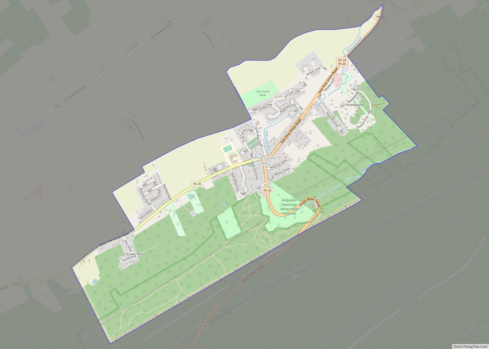
Pine Grove Mills is an unincorporated community, village, and census-designated place (CDP) in Ferguson Township, Centre County, Pennsylvania, United States. It is part of the State College, Pennsylvania Metropolitan Statistical Area. The population was 1,481 at the 2020 census. Pine Grove Mills CDP overview: Name: Pine Grove Mills CDP LSAD Code: 57 LSAD Description: CDP ... Read more
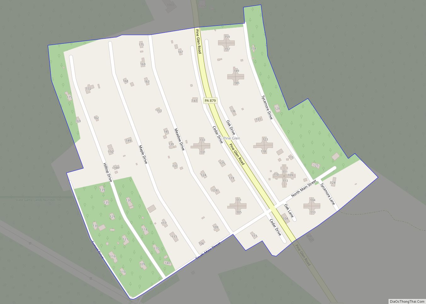
Pine Glen is an unincorporated community and census-designated place (CDP) in Centre County, Pennsylvania, United States. It is part of the State College, Pennsylvania Metropolitan Statistical Area. It is part of Burnside Township. The population was 190 at the 2010 census. Pine Glen CDP overview: Name: Pine Glen CDP LSAD Code: 57 LSAD Description: CDP ... Read more
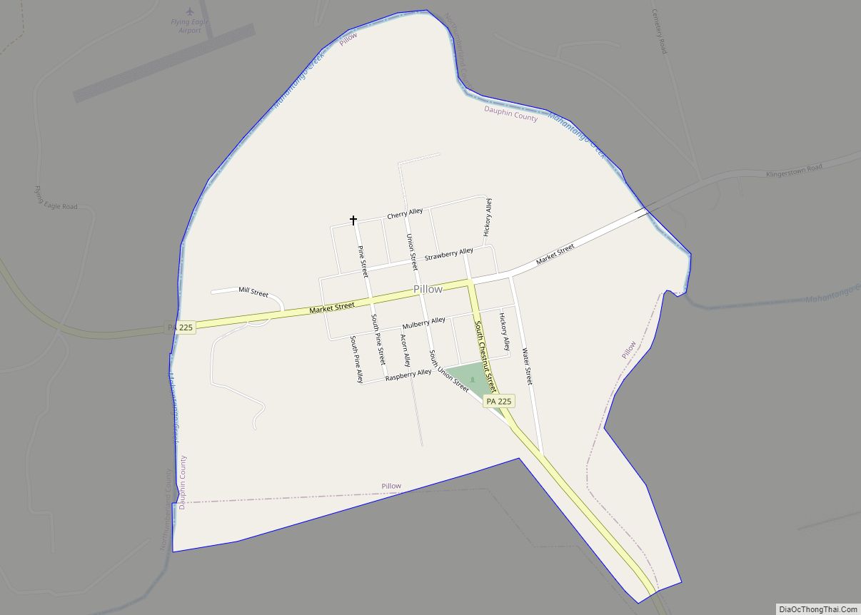
Pillow is a borough in Dauphin County, Pennsylvania, United States. The population was 291 at the 2020 census. It is part of the Harrisburg–Carlisle Metropolitan Statistical Area. Pillow borough overview: Name: Pillow borough LSAD Code: 21 LSAD Description: borough (suffix) State: Pennsylvania County: Dauphin County Incorporated: 1864 Elevation: 545 ft (166 m) Total Area: 0.49 sq mi (1.28 km²) Land ... Read more
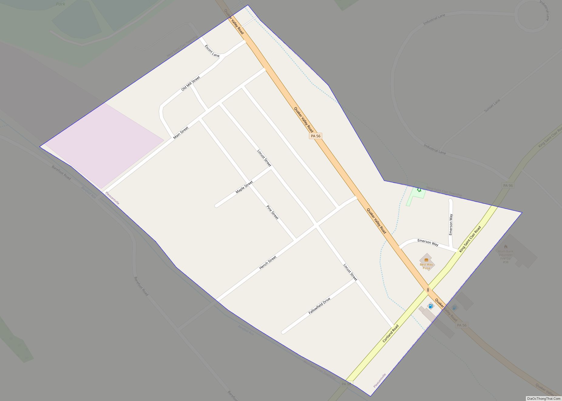
Pleasantville, also known as Alum Bank, is a borough in Bedford County, Pennsylvania, United States. The population was 195 at the 2020 census. Pleasantville borough overview: Name: Pleasantville borough LSAD Code: 21 LSAD Description: borough (suffix) State: Pennsylvania County: Bedford County Incorporated: 1871 Elevation: 1,437 ft (438 m) Total Area: 0.07 sq mi (0.19 km²) Land Area: 0.07 sq mi (0.19 km²) Water ... Read more
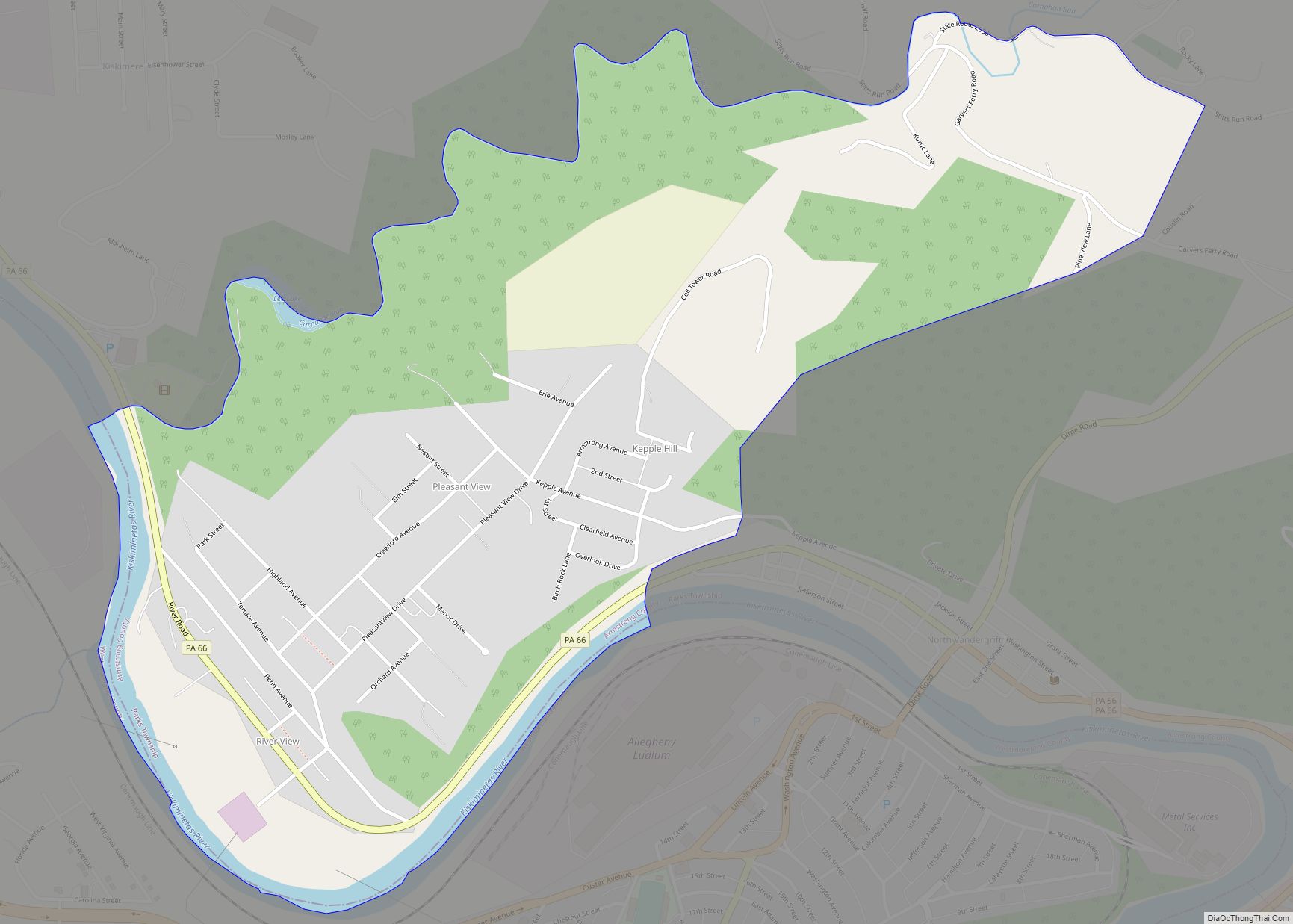
Pleasant View is a census-designated place (CDP) in Armstrong County, Pennsylvania, United States. The population was 780 at the 2010 census. Pleasant View was formerly part of the census-designated place of North Vandergrift-Pleasant View at the 2000 Census, before splitting into two separate CDPs for the 2010 census. Pleasant View CDP overview: Name: Pleasant View ... Read more
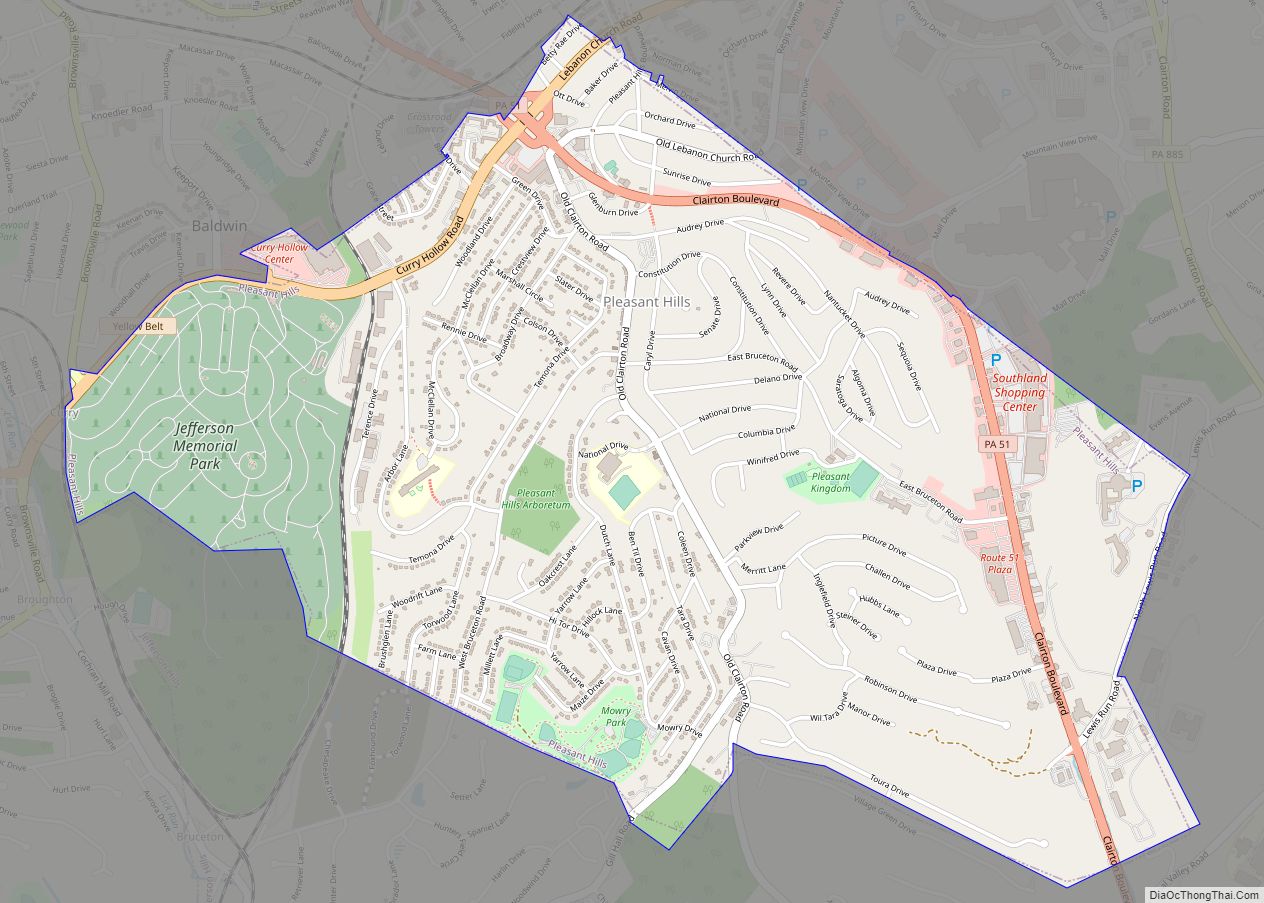
Pleasant Hills is a borough in Allegheny County, Pennsylvania. As of the 2020 census, the population was 8,504. Pleasant Hills is a suburb of Pittsburgh. Pleasant Hills borough overview: Name: Pleasant Hills borough LSAD Code: 21 LSAD Description: borough (suffix) State: Pennsylvania County: Allegheny County Total Area: 2.78 sq mi (7.19 km²) Land Area: 2.78 sq mi (7.19 km²) Water Area: ... Read more
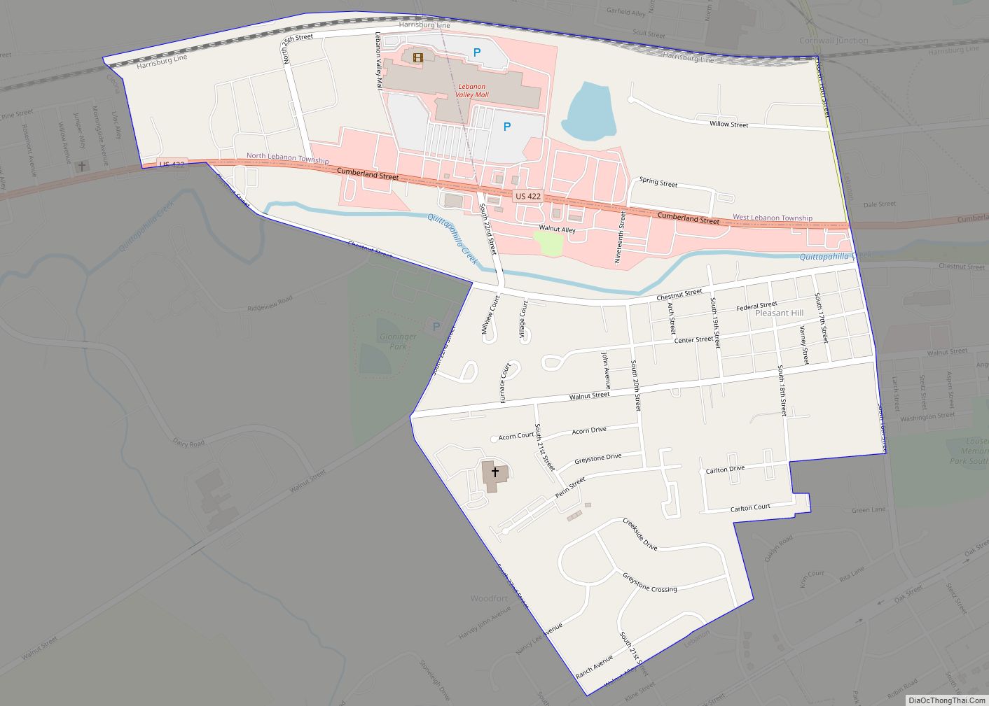
Pleasant Hill is an unincorporated community and census-designated place (CDP) in Lebanon County, Pennsylvania, United States. The population was 2,643 at the 2010 census, up from 2,301 at the 2000 census. Pleasant Hill CDP overview: Name: Pleasant Hill CDP LSAD Code: 57 LSAD Description: CDP (suffix) State: Pennsylvania County: Lebanon County Elevation: 558 ft (170 m) Total ... Read more
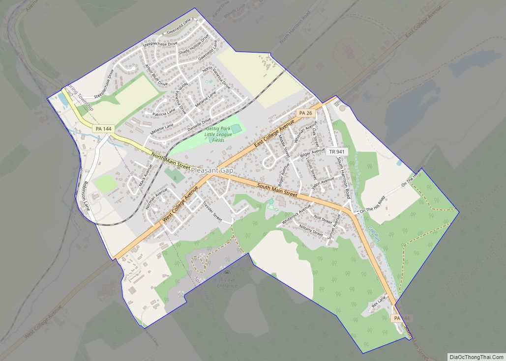
Pleasant Gap is an unincorporated community and census-designated place (CDP) in Centre County, Pennsylvania, United States. It is part of the State College, Pennsylvania Metropolitan Statistical Area. The population was 2,879 at the 2010 census. Pleasant Gap CDP overview: Name: Pleasant Gap CDP LSAD Code: 57 LSAD Description: CDP (suffix) State: Pennsylvania County: Centre County ... Read more
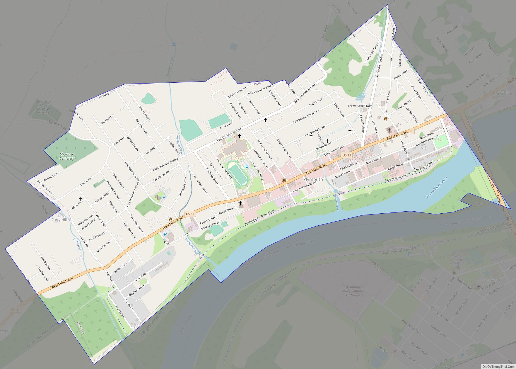
Plymouth is a borough in Luzerne County, Pennsylvania, United States. It is located 4 miles (6 km) west of Wilkes-Barre, along the Susquehanna River. The population was 5,763 as of the 2020 census. Plymouth borough overview: Name: Plymouth borough LSAD Code: 21 LSAD Description: borough (suffix) State: Pennsylvania County: Luzerne County Incorporated: 1866 Total Area: 1.17 sq mi ... Read more
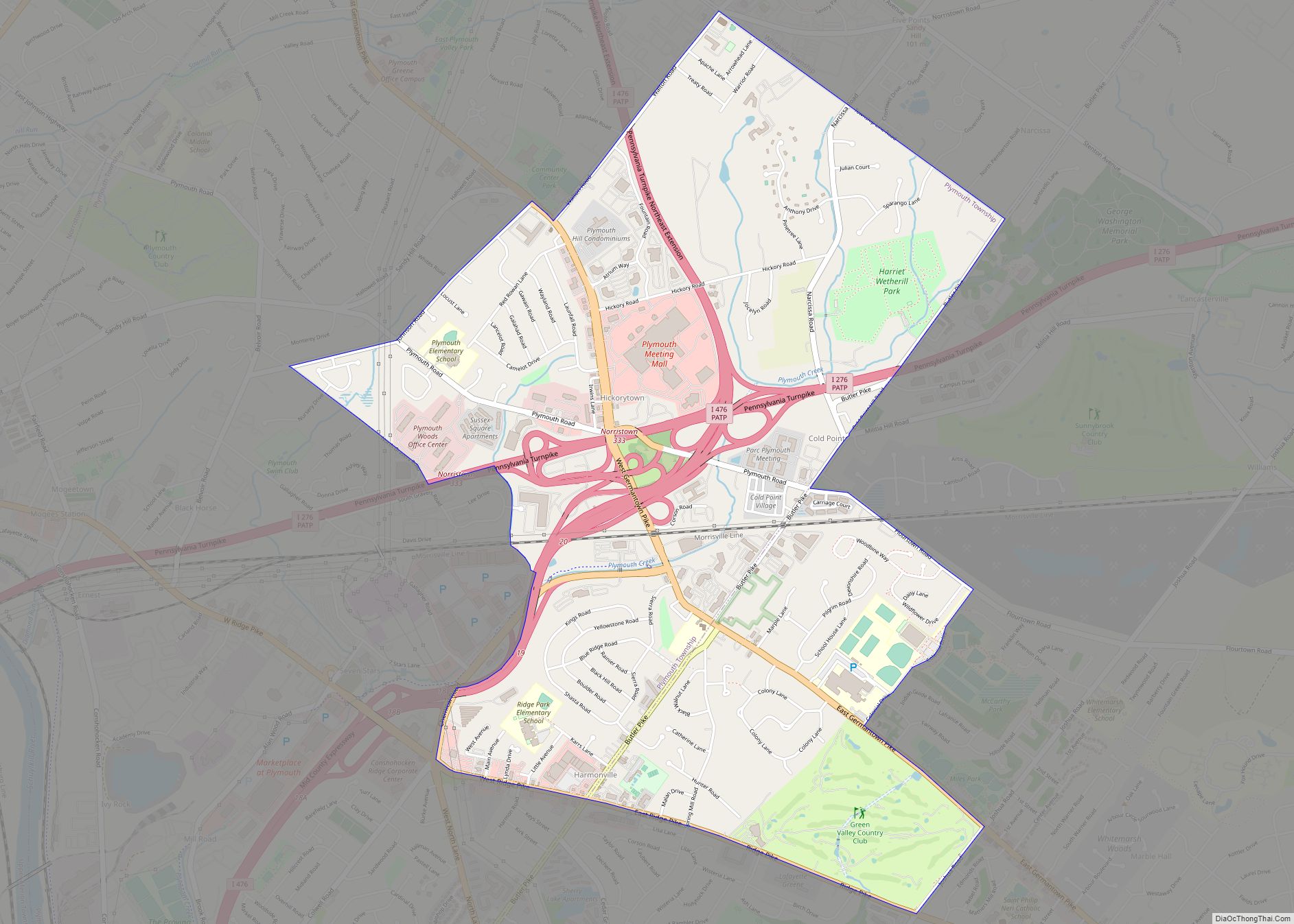
Plymouth Meeting is a census-designated place (CDP) that straddles Plymouth and Whitemarsh Townships in Montgomery County, Pennsylvania, United States. The settlement was founded in 1686. The population of Plymouth Meeting was 6,177 in the 2010 census. Plymouth Meeting is home to the Colonial School District, the Plymouth Meeting Mall and several large office parks and ... Read more
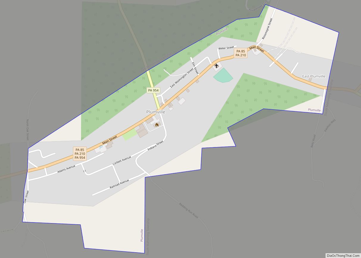
Plumville borough overview: Name: Plumville borough LSAD Code: 21 LSAD Description: borough (suffix) State: Pennsylvania County: Indiana County FIPS code: 4261632 Online Interactive Map Plumville online map. Source: Basemap layers from Google Map, Open Street Map (OSM), Arcgisonline, Wmflabs. Boundary Data from Database of Global Administrative Areas. Plumville location map. Where is Plumville borough? Plumville ... Read more

